
Engage in civic participation. Voice your perspective. Shape the future of public lands.
Engage in civic participation. Voice your perspective. Shape the future of public lands.
Contents:

Public Land Comment Hub
Federal agencies manage millions of acres of public land on behalf of every American. When an agency proposes, changes, or updates how lands are managed, the public has opportunities to review these actions and submit comments. onX built this Public Land Comment Hub to connect more people to opportunities to get involved in public land decision-making. Browse the map, dashboard, and resources below to learn how you can participate in charting the future of public land.

What are Public Comments?
When federal agencies propose changes to public land management—such as forest plans, recreation management plans, or energy leases—laws like the National Environmental Policy Act (NEPA) often require them to invite public review before making a final decision. That opportunity is called a public comment period.
Agencies seek feedback from everyone affected: nearby communities, businesses, tribes, outfitters, local governments, and the people who spend time on these lands. This includes the recreational communities who’ve accumulated a wealth of observations over their many miles and hours on these landscapes.
Public comments are one part of a larger decision-making process that also includes environmental analysis, scientific data, and agency objectives. It’s not a vote, but thoughtful, specific comments can help agencies improve their decisions. This is our land, collectively. We each know different places, have different experiences, and hold different sets of interests and beliefs in how our public lands should be used. Together, this makes a complicated puzzle for land managers to solve.
The map and dashboard below show active comment periods across the U.S. Forest Service, Bureau of Land Management, National Park Service, and U.S. Fish & Wildlife Service, overlaid on the areas each decision affects. Explore places you know, learn what’s being proposed, and submit comments directly to the agency using the links provided on the map.

Public Land Comment Map
Find the plans that impact the ground you know.
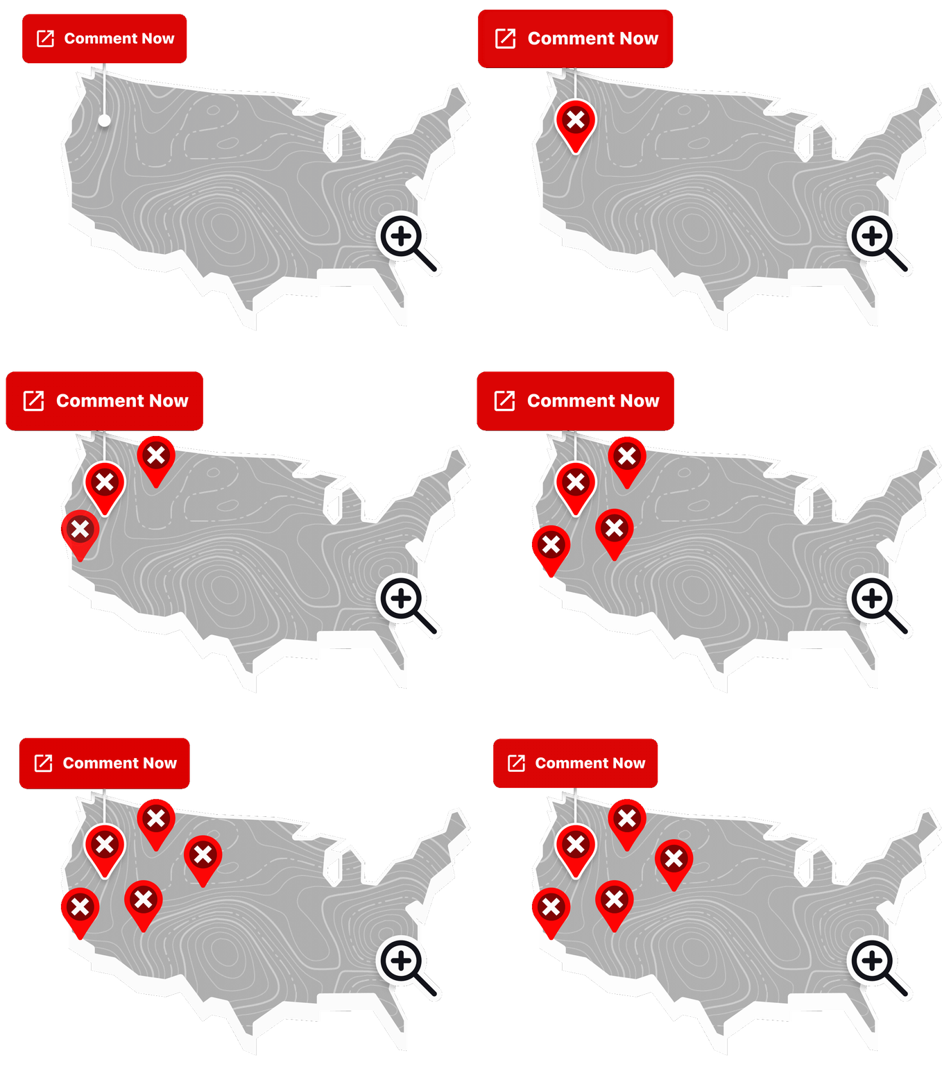
- Browse the map or zoom to your favorite areas. Color-coded overlays indicate active public input processes. Tap or click on an area to see a pop-up describing the public comment period.
- Don’t see an open comment period in the areas you visit? Be sure to check out Agencywide Proposals in the dashboard below the map. Details about each one will open when you click an item in the list.
- Click Comment Now at the bottom of each pop-up to be taken to the official documents on agency websites.
- Then, come back to this page and read What Makes a Comment Count to make your feedback as impactful as possible.
- Write and submit your comment directly to the land management agency.
- Share this resource with others and bookmark it to check back often, since the map is continually updated as public comment periods open and close.
CE – Categorical Exclusion
DEIS – Draft Environmental Impact Statement (the one the public can comment on before the Final EIS)
DO – District Office (a sub-unit of the BLM) or a Director’s Order
DNA – Determination of NEPA Adequacy
DR – Decision Record
EA – Environmental Assessment
EIS – Environmental Impact Statement
ESA – Endangered Species Act
FR – Federal Register
FO – Field Office (a sub-unit of the BLM that is a sub-unit of a District Office)
NEPA – National Environmental Policy Act
OSV – Over Snow Vehicle
RMP – Resource Management Plan
ROD– Record of Decision
TMP – Travel Management Plan
The Public Land Comment Hub provides an easier way to access public information about federal land planning processes. onX does not advocate for any position on any proposal, and this tool does not suggest what position users should take. Links to agency comment portals connect users directly to official government websites.
See an error on the map? Send us feedback at: access@onxmaps.com.

“Public comment opportunities are scattered across dozens of agency websites, making them surprisingly hard to find. We wanted to solve that problem. By bringing everything together on one interactive map, we’re making it easier for people to stay informed, understand what’s happening where they recreate, and participate in the decisions that shape our public lands.”
– Liam Caulfield, Sr. Access & Stewardship Geospatial Analyst.

A Map of Public Comments, for the Public
Instead of searching multiple agency websites, sifting through hundreds of pages of government documents in search of static maps, and navigating government jargon, you can quickly see on the map above which proposals may impact the lands you hunt, fish, ride, climb, camp, and explore.
Our Approach
Every open comment period on the map is tied to a location, but not every government notice comes with the same level of geographic detail. To give you the most useful location information possible for every comment period, our system checks several geographic resources, and uses the best one it can find:
- First, the system looks for a map of the exact project area. If the agency published geographic data or a format-compatible map with the public notice, that’s what you’ll see on our map, and you’ll need to zoom in to see these specific locations.
- If specific site data wasn’t provided in the public notice, the area is represented on our map as the boundary of the office or unit in charge of the decision. That means the area of the national forest, wildlife refuge, national park, or the BLM field or district office responsible for each proposal. This is a broader yet still accurate view showing where a decision will apply.
Agencywide proposals are listed below the map, rather than showing as areas on the map. This is because agency-wide rules apply broadly.
In short: the locations you see on the map are always the most specific areas our system could find for each public comment period.

The Agencies
on the Map
The map includes information about public comment periods for the four largest federal land management agencies. Some examples of the plans and proposals each one opens for public participation are described below.
BLM
Oversees 245 million acres—more than any other federal agency, primarily in 12 Western States including Alaska.
Resource Management Plans govern energy resources, minerals, grazing, recreation, and conservation. Travel Management Plans determine which roads and trails are open, in which seasons, to which types of vehicles and other modes of travel.
USFS
Manages 193 million acres of national forests and national grasslands across 44 states and Puerto Rico.
Plans and proposed actions include long-range Forest Plans; which roads are open to which vehicles and when (travel management); timber harvesting; grazing leases; and recreation management.
USFWS
Stewards 150 million acres of national wildlife refuges and fish hatcheries across all 50 states, and is responsible for federally listed Threatened and Endangered Species.
The public has opportunities to weigh in on Comprehensive Conservation Plans and species-related decisions.
NPS
Manages 85 million acres of national parks, monuments, recreation areas, and historical sites across all 50 states.
General Management Plans and special use decisions are subject to public input.

Types of Plans and Proposals
on the Map
There are numerous types of actions, proposals, and plan revisions. We’ve listed a few below, along with the ways they impact outdoor recreation.
| Example Process and Document Types | What it means for outdoor recreation |
| Environmental Impact Statement (EIS) | Detailed analysis of significant federal land management actions. Offer a range of alternatives that have varying implications outdoor recreation opportunities, wildlife, wildfire mitigation, water resources, energy development, grazing, and extractive uses. |
| Environmental Assessment | Reviews used to determine whether a proposed action’s effects are significant enough to require a full EIS. Can be the first step in changes that would impact access, permits, or development. |
| Travel Management Plan | Sets the rules for traveling across the landscape: decides which roads and trails are open to motorized vehicles of various sizes, as well as to horses, bikes, and foot traffic, and which ones are closed, either permanently or seasonally. |
| Forest Plan Revision | A ground-up rewrite of how an entire national forest is managed for the next 10+ years. Determines everything from timber harvests to resource protection, livestock grazing to water conservation, and the access and rules for outdoor recreation. |
| Resource Management Plan | The BLM equivalent of a Forest Plan, governing energy, grazing, recreation rules and access, and conservation across an area managed by a Field Office. |
| Allotment Management Plan | Sets the terms for livestock grazing on a specific parcel. Affects range condition, water, and wildlife habitat. |
| Wilderness Study Area Review | Evaluates whether a WSA should receive permanent Wilderness designation, closing it to motorized and mechanized (bike) use. |
| Energy Lease Sale | Opens specific parcels to energy development bids. Not directly a recreation decision, but has the potential to change the land’s character and potentially alter public access. |
| Comprehensive Conservation Plan | Sets the long range plan for USFWS refuges. Governs hunting, fishing, and public access to wildlife refuges. |
| Special Recreation Permit / Special Use Permit | Reviews or establishes commercial outfitter and guide permits, as well as races and large group activities on federal land. |
| Objection Process | A legally distinct step in the decision-making process for USFS. Commenting during the original public scoping is a prerequisite for objection later on once the final plan or EIS is published, meaning if you miss submitting a comment in the first stage, you won’t be able to object later. |


Learn more about how onX supports public access and stewardship through grants, partnerships, and stories from the field. Follow us to stay informed about issues affecting public land.
What Makes a Comment Count
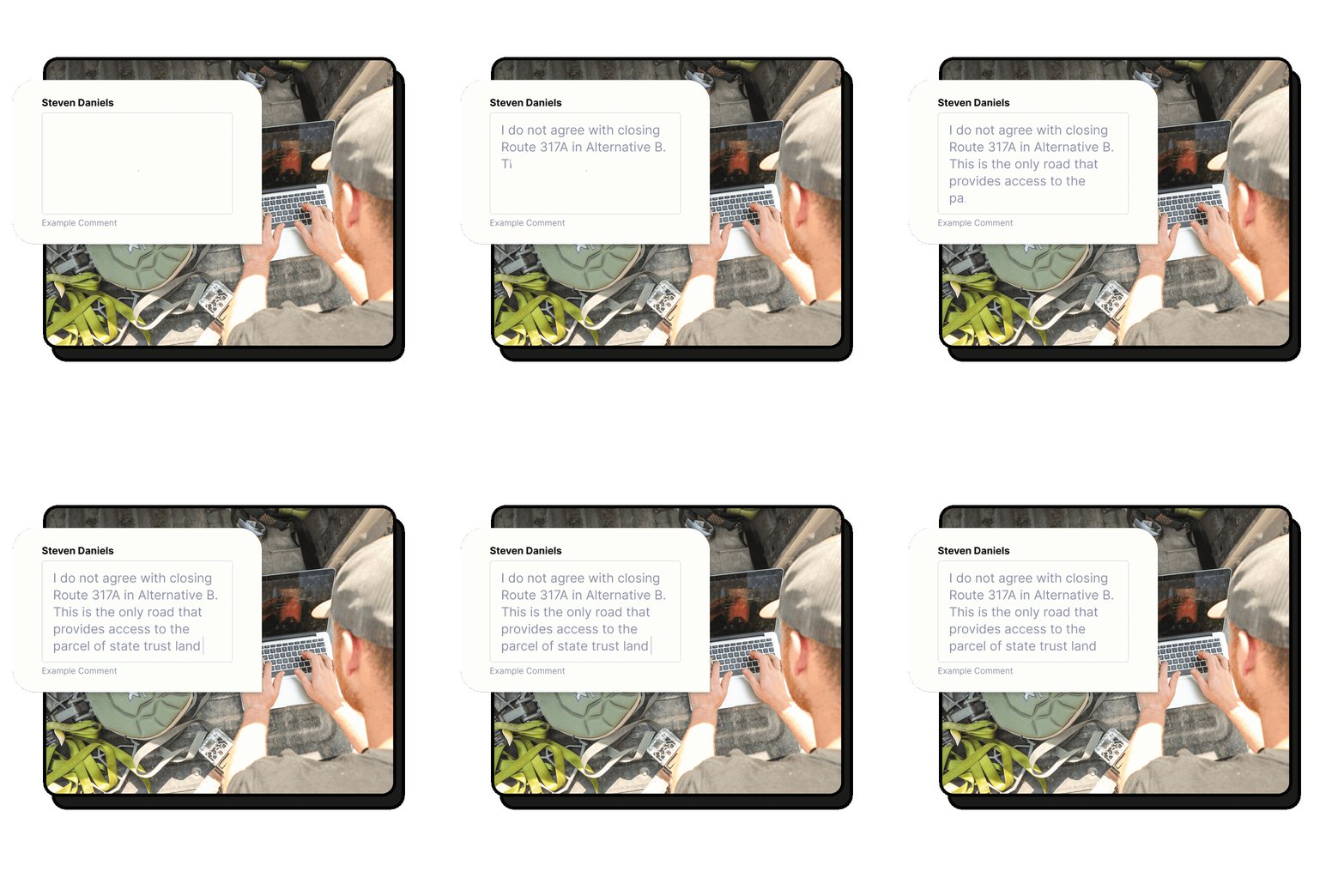
NEPA and related laws require the agencies to conduct a structured process to ensure substantive, specific, or relevant public comments are considered. Each agency defines these terms slightly differently, but in general, comments should:
Remember: these are guidelines, and you don’t have to write “perfect” comments to participate. But if you’re looking for more guidance, check out our How to Write an Effective Public Comment blog.