
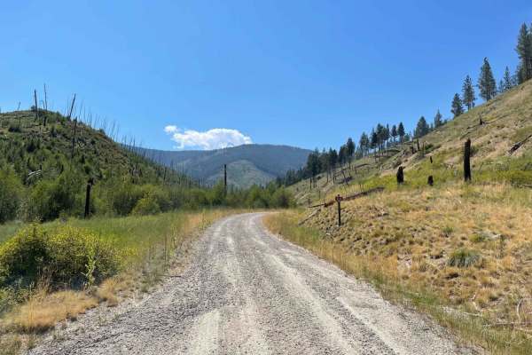
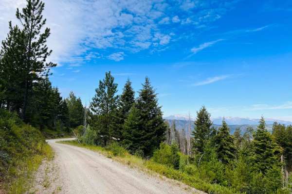
Off-Road Trails
Near Sula, Montana
Off-Road Trails Near Sula, Montana
Discover the best offroad trails near you. Browse trail maps, check difficulty ratings, and find your next adventure — whether you're looking for a quick ride or an all-day expedition.
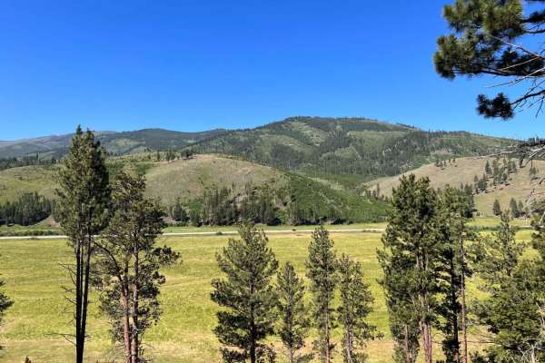
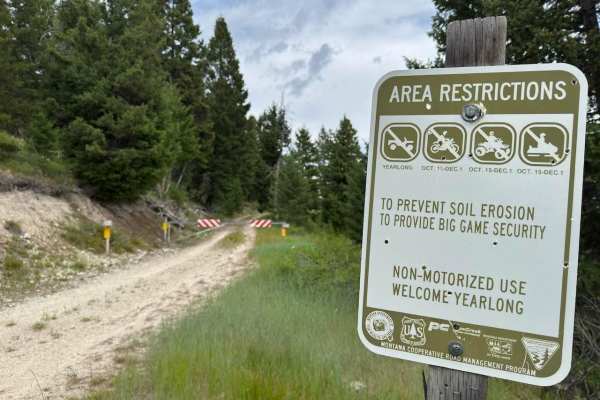
Riemel Trail/ Hiking Trailhead
The trail begins through private property but leads to a beautiful valley with dispersed camping and a hiking trail. The section of the trail that passes the private property going down into the valley is a very narrow cliffside road with no room for oncoming to pass and few, if any, pullouts. Dispe...
Learn more about Riemel Trail/ Hiking Trailhead
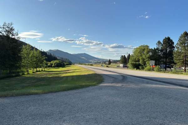
Andrews Creek
Andrews Creek Trail starts from Highway 93 just a couple of miles south of Sula, MT. An easy way to find the beginning of this trail is to look for the Sula Forest Service Ranger District building on the east side of Highway 93. This trail is directly across Highway 93 on the west side. This trail i...
Learn more about Andrews Creek
Bitterroot-Big Hole
This alternate route takes you to Gibbons Pass bypassing Lost Trail Pass. The section north of Gibbons Pass is a steep one-lane road with limited areas to pass and you should be prepared to back up for some distance. The South section is wider with enough room for vehicles to pass.
Learn more about Bitterroot-Big Hole
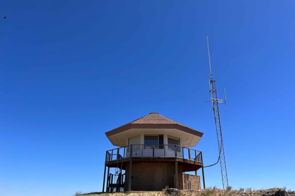
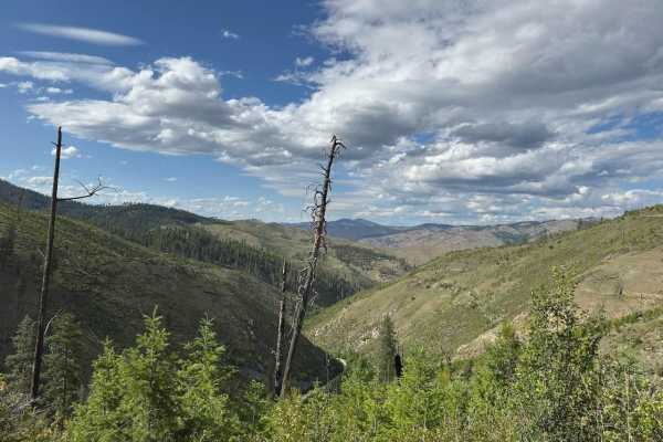
Sula Peak Lookout
This steep, narrow trail leads up to the Sula Peak Lookout Tower. The tower is occasionally open to the public; check for hours and days of operation beforehand. The trail is well maintained, but 4WD low is recommended for the way down as the trail is quite steep, and most of it runs along the cliff...
Learn more about Sula Peak Lookout
Andrews Creek 50-Inch
This trail is the continuation of Andrews Creek Trail. At this point, you will find a closed gate and a sign that shows dirt bikes and four-wheelers are allowed. As you begin, you will find a winding double-track trail that is fairly smooth with a mild amount of small rocks. This trail is mostly fla...
Learn more about Andrews Creek 50-Inch
Andrews Creek Dirt Bike
Andrews Creek Dirt Bike Trail is a moderate difficulty, single-track trail that connects the end of Andrews Creek Trail to Warm Springs Ridge Trail. This trail is one of four exits or entrances to Warm Springs Ridge Trail. Taking this trail will put you near the middle of Warm Springs Ridge Trail, s...
Learn more about Andrews Creek Dirt Bike
Lairds Epic View Draw
This narrow two-track is only for ATV and Moto. It begins off highway 93 and heads past some houses into the hills. Be sure to take the middle two-track at the beginning, or you will end up in a driveway. After some bumps and ruts, you'll get to a locked gate with a narrow pass-through on the uphill...
Learn more about Lairds Epic View Draw
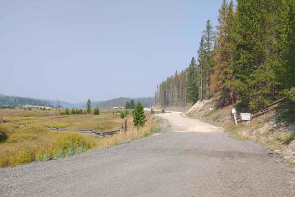
Mink Creek to Highway 43
Mink Creek to Highway 43 is a Forest Service road that takes you from East Fork Road and ends at Highway 43, just a couple of miles west of the Big Hole Battle Field. This road is well-maintained and very easy to drive or ride. The surface of the road consists mostly of packed dirt/gravel and has a...
Learn more about Mink Creek to Highway 43
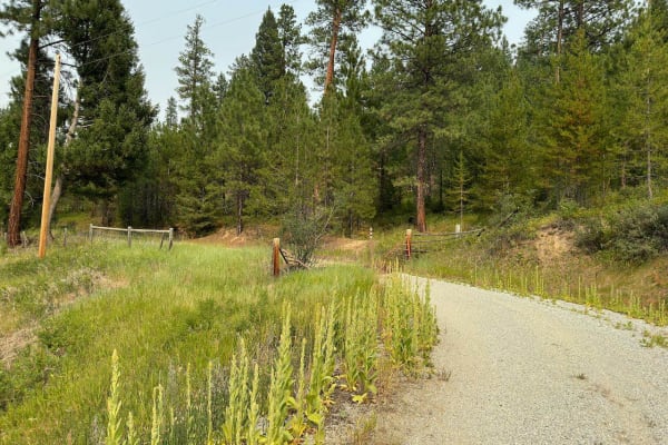
Warm Springs Laird
Warm Springs Laird Starts immediately off of Highway 93 near the Rocky Knob Restaurant. The first mile of this trail goes through a residential area before you reach national forest land. In this first mile, there are multiple speed limit signs of 15 mph put up by the residents, so please go slow he...
Learn more about Warm Springs Laird
Highway Connection 106A
This connector trail is fairly short but it is a neat way to jump onto Gibbons Pass Road from the bottom of Lost Trail Pass. This trail is one full-size vehicle wide in most spots but it does narrow down to more of a SxS width around a couple bends. This trail is mostly dirt so it is actually pretty...
Learn more about Highway Connection 106A
Guide Finger Open
Finally, a trail with an open gate! This dirt trail is rutted in places, narrow, and shows signs of less vehicle traffic. There is a nice dispersed campsite off to the right in the trees early on in the trail. After that, the trail becomes more rutted and appears to become muddy in places in spring ...
Learn more about Guide Finger Open
West Jennings
This trail begins with a steep uphill climb, is narrow, and has a few severe ruts. The trail continues to travel along a hillside with a decent drop-off. There are some beautiful mountain views the higher up the trail goes. It continues to have decent-sized ruts all the way. The trail splits and bec...
Learn more about West Jennings
Gilbert No Creek
This trail starts with loose gravel and then transitions to some rutted hard pack. Gilbert creek does run along the bottom, at least to the first big turn with a grassy open camping spot. Then the trail runs away from the stream and into the hills. There are beautiful views around every corner and a...
Learn more about Gilbert No Creek
Crazy Creek
Crazy Creek Trail starts as a spur trail from the Crazy Creek Warm Springs Trail. This trail serves as an access to the Shook Mountain - Medicine Point dirt bike trail. This is a trail that you won't want to gain too much speed going down, as it has some rocky sections. Although rocky, no rocks are ...
Learn more about Crazy Creek

Medicine Point Trailhead
This narrow trail starts wider but has plenty of trees growing into it that may cause paint damage. The first half is a little loose and rocky, with a few tight corners. The midway point is a significant turnaround/ camping/ trailhead area with excellent views. This open area is the Medicine Point t...
Learn more about Medicine Point Trailhead
Crazy Creek Warm Springs
This trail leads from the private Medicine Hot Springs and the NFS Warm Springs Campground back to the Crazy Creek Campground and Warm Springs Trail, then head up the mountain toward the Bear Creek Saddle, which offers other trails to explore. The Warm Springs Guard station is a reservation-style ca...
Learn more about Crazy Creek Warm Springs
Guide Saddle
This trail is more of an access trail to other networks of trails than an exciting trail to a saddle. The trail starts as gravel and gradually transitions to dirt as it slowly gains some elevation. It is wider overall but narrow enough that a vehicle must pull off to allow another to pass. The views...
Learn more about Guide Saddle
Blue Mountain Connection
This run is a quick and easy connection between the Guild Saddle Trail, which has no offshoots with open gates, and a network of open 4X4 trails. This is a well-maintained easy dirt trail that shows signs of regular use. There are no dispersed campsites on the trail, but there are several other trai...
Learn more about Blue Mountain Connection
Waugh Gulch
This is a narrow switchback trail with views of the valley below. It ends at a tiny dispersed campsite. A few side trails at the beginning of the trail could lead to dispersed camping--no winter maintenance. Bring equipment to potentially clear down trees if traveling in spring. There is also a nice...
Learn more about Waugh Gulch
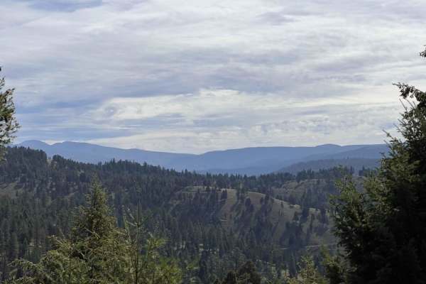
Porcupine Saddle
This is a narrow switchback trail up to the Porcupine Saddle. The trail surface is mostly well maintained, with a few potholes. The beginning of the trail is wider and runs through pine trees before turning into long switchbacks that are narrow and becomes a steep shelf trail. Views out over the val...
Learn more about Porcupine Saddle
ATV trails near Sula, Montana
Explore ATV-friendly trails near you. These trails are accessible for vehicles up to 50 inches wide, perfect for ATVs and smaller off-road machines.
Riemel Trail/ Hiking Trailhead
The trail begins through private property but leads to a beautiful valley with dispersed camping and a hiking trail. The section of the trail that passes the private property going down into the valley is a very narrow cliffside road with no room for oncoming to pass and few, if any, pullouts. Dispe...
Learn more about Riemel Trail/ Hiking Trailhead
Andrews Creek
Andrews Creek Trail starts from Highway 93 just a couple of miles south of Sula, MT. An easy way to find the beginning of this trail is to look for the Sula Forest Service Ranger District building on the east side of Highway 93. This trail is directly across Highway 93 on the west side. This trail i...
Learn more about Andrews Creek
Bitterroot-Big Hole
This alternate route takes you to Gibbons Pass bypassing Lost Trail Pass. The section north of Gibbons Pass is a steep one-lane road with limited areas to pass and you should be prepared to back up for some distance. The South section is wider with enough room for vehicles to pass.
Learn more about Bitterroot-Big Hole
Sula Peak Lookout
This steep, narrow trail leads up to the Sula Peak Lookout Tower. The tower is occasionally open to the public; check for hours and days of operation beforehand. The trail is well maintained, but 4WD low is recommended for the way down as the trail is quite steep, and most of it runs along the cliff...
Learn more about Sula Peak Lookout
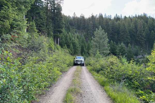
UTV/side-by-side trails near Sula, Montana
Find UTV and side-by-side trails near you. These trails accommodate vehicles up to 60 inches wide, ideal for UTVs, side-by-sides, and wider off-road rigs.
Riemel Trail/ Hiking Trailhead
The trail begins through private property but leads to a beautiful valley with dispersed camping and a hiking trail. The section of the trail that passes the private property going down into the valley is a very narrow cliffside road with no room for oncoming to pass and few, if any, pullouts. Dispe...
Learn more about Riemel Trail/ Hiking Trailhead
Andrews Creek
Andrews Creek Trail starts from Highway 93 just a couple of miles south of Sula, MT. An easy way to find the beginning of this trail is to look for the Sula Forest Service Ranger District building on the east side of Highway 93. This trail is directly across Highway 93 on the west side. This trail i...
Learn more about Andrews Creek
Bitterroot-Big Hole
This alternate route takes you to Gibbons Pass bypassing Lost Trail Pass. The section north of Gibbons Pass is a steep one-lane road with limited areas to pass and you should be prepared to back up for some distance. The South section is wider with enough room for vehicles to pass.
Learn more about Bitterroot-Big Hole
Sula Peak Lookout
This steep, narrow trail leads up to the Sula Peak Lookout Tower. The tower is occasionally open to the public; check for hours and days of operation beforehand. The trail is well maintained, but 4WD low is recommended for the way down as the trail is quite steep, and most of it runs along the cliff...
Learn more about Sula Peak Lookout
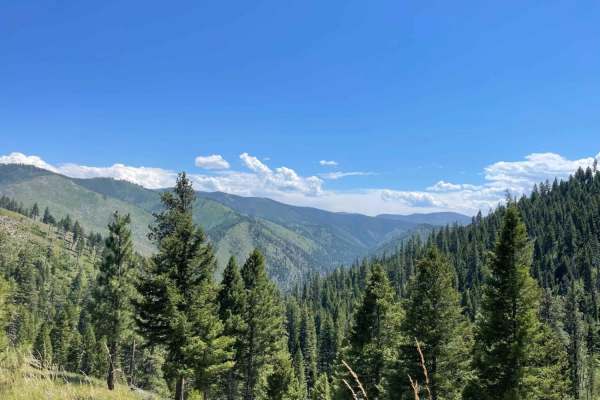
The onX Offroad Difference
onX Offroad combines trail photos, descriptions, difficulty ratings, width restrictions, seasonality, and more in a user-friendly interface. Available on all devices, with offline access and full compatibility with CarPlay and Android Auto. Discover what you're missing today!
Open Trail Map