Trail Overview
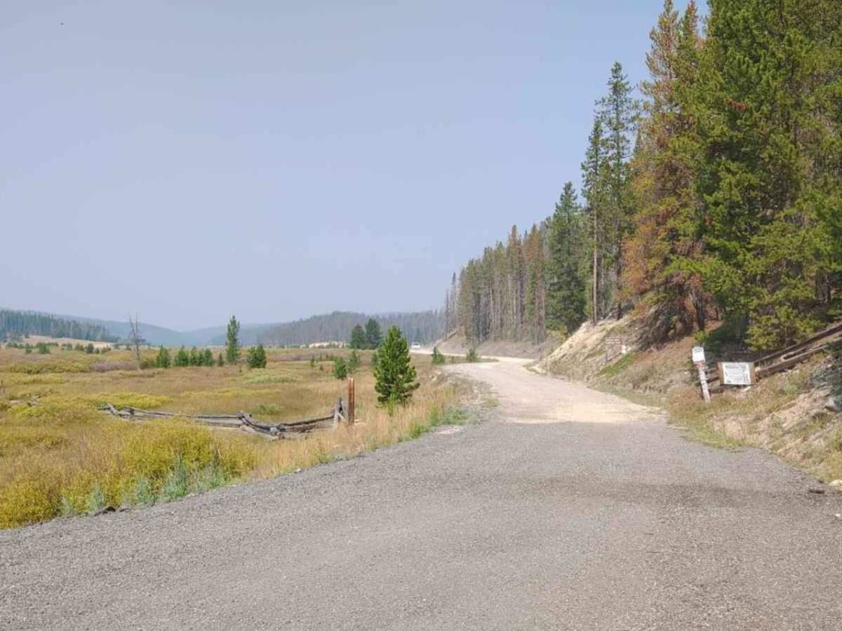
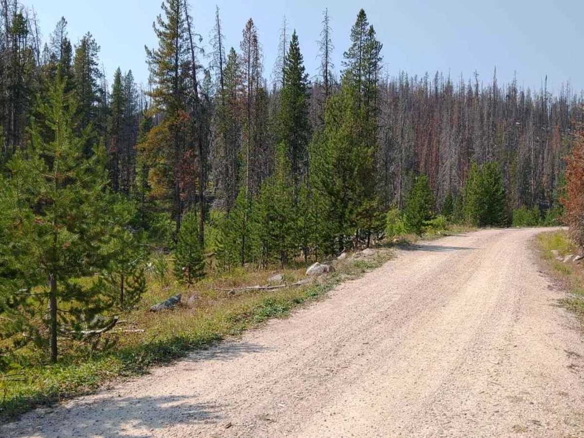
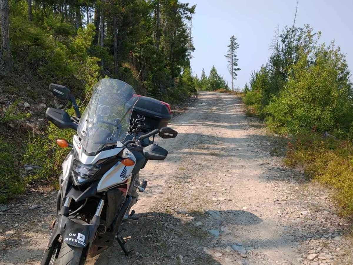
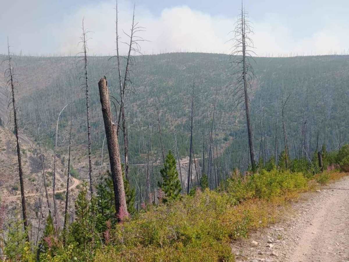
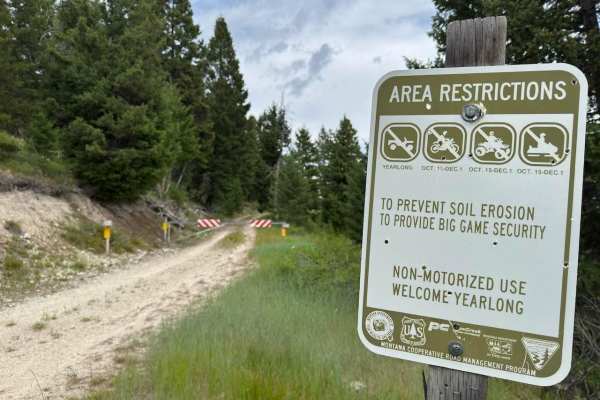
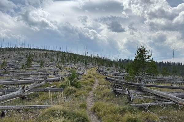
The Bitterroot-Big Hole trail is an ideal route for scenic explorers and history buffs looking to bypass Lost Trail Pass via the historic Gibbons Pass in high-clearance four-wheel-drive vehicles or SxSs. Spanning approximately 17.3 miles, this trail climbs from an elevation of 4,605 feet to a peak of 6,955 feet, offering a cumulative elevation gain of 2,455 feet. The northern section of the route presents the primary challenge, featuring a steep, single-lane dirt road with narrow shelf sections and very few pullouts, requiring drivers to be confident in their ability to back up if they encounter oncoming traffic. In contrast, the southern portion of the pass is wider, providing ample room for vehicles to pass each other comfortably.
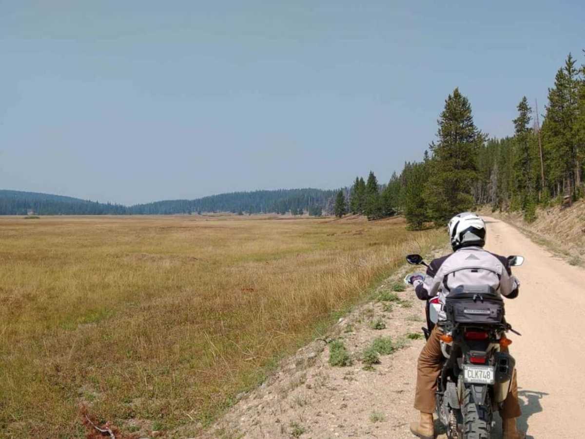
With a technical rating of 3, this route is accessible to stock four-wheel-drive vehicles and SxSs, though drivers must remain alert on the steep northern descent where maximum gradients can reach up to 36 degrees. Steeped in history, this rugged corridor follows the ancient paths used by the Nez Perce and other Native American tribes for centuries. It is the very route traversed by William Clark on his return journey eastward in 1806, and later used by Chief Joseph in 1877 to lead his people over the pass to escape pursuing U.S. Army forces before the Battle of the Big Hole. Today, offroaders can experience these same dramatic mountain vistas, with the trail typically open from late spring through autumn, depending on seasonal snowpack.
History
The trail follows a highly significant historical corridor used for centuries by the Nez Perce and other Native American tribes. In 1806, William Clark and his party traversed this pass on their return journey eastward. Decades later, during the Nez Perce War of 1877, Chief Joseph led his people over Gibbons Pass to escape pursuing U.S. Army forces before the Battle of the Big Hole.