Trail Overview
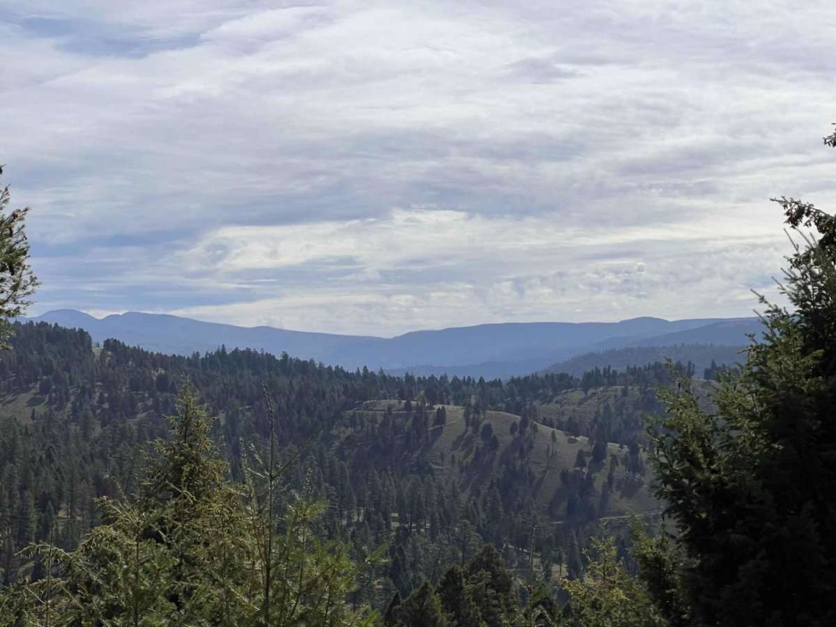
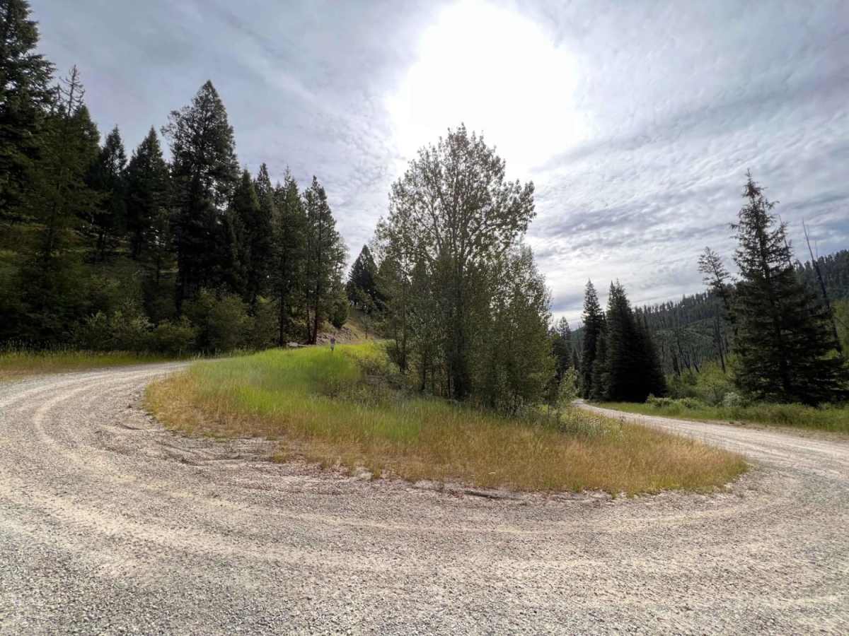
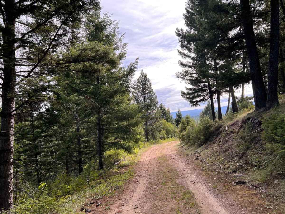
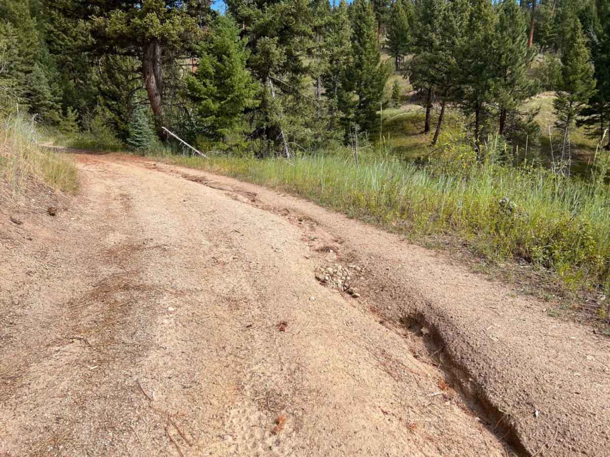
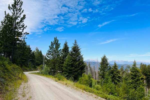
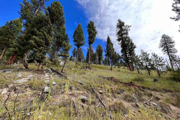
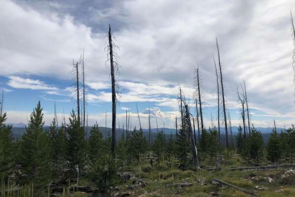
West Jennings is a challenging and scenic 2.8-mile out-and-back trail ideal for experienced offroaders seeking stunning mountain vistas and a technical driving experience in the Bitterroot National Forest. Branching off Forest Development Road Guide-Rye near Guide Saddle, the trail immediately tests drivers with a steep uphill climb on an unpaved, narrow dirt surface. As the route ascends from an elevation of 5,474 feet to its peak at 6,189 feet, drivers must navigate deep ruts and a tight shelf road with significant drop-offs along the hillside. These higher elevations offer expansive mountain views of the surrounding peaks, but operators must remain highly focused on the trail's demanding terrain.
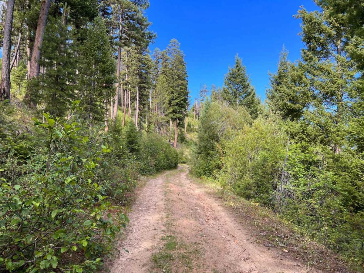
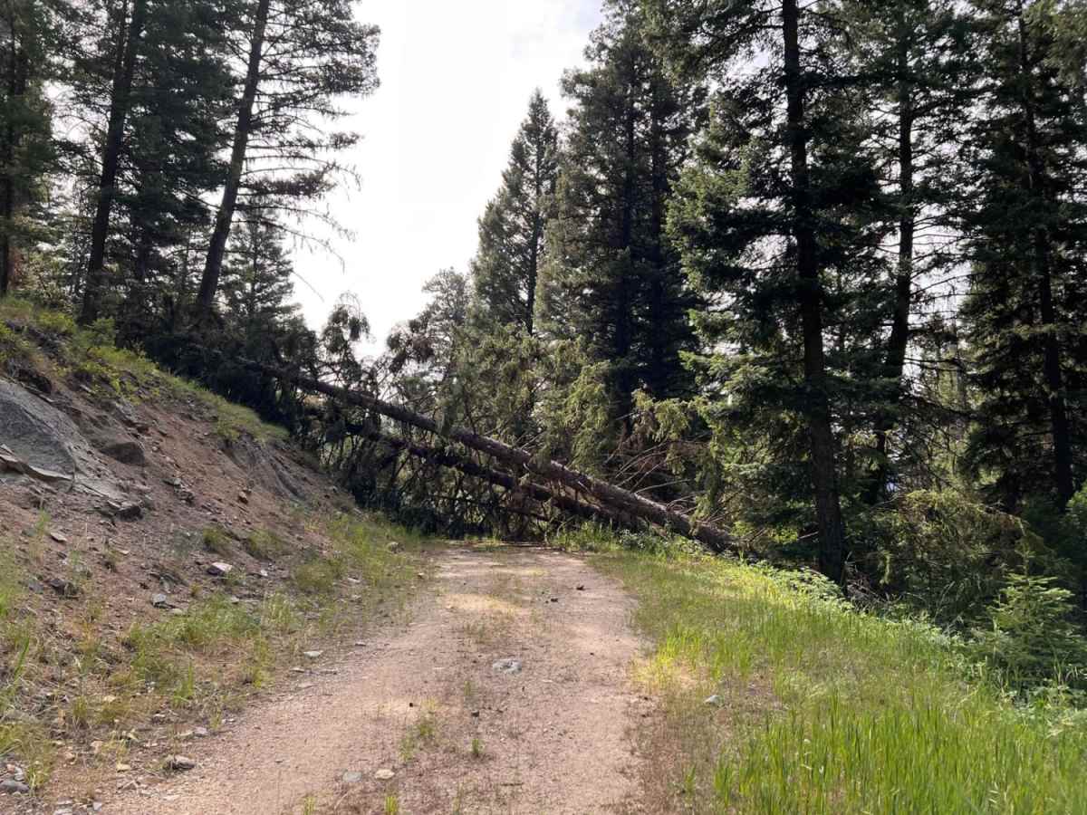
With a technical rating of 5, this route requires high-clearance four-wheel-drive vehicles or capable SxSs to safely manage the steep hill climbs and deep, continuous rutting. The trail becomes increasingly narrow and overgrown with brush after a fork, eventually leading to a scenic dispersed campsite that serves as a great spot to pause. Beyond this point, the route becomes impassable due to several large fallen trees, making it a true dead end. Since there is no cellular service and no winter maintenance, visitors should prepare for self-recovery and carry tools like chainsaws to clear deadfall, particularly during the late spring and summer months when the trail is most accessible.
Difficulty
Deep Ruts, Steep hill climbs, and not many places to allow oncoming to pass. Deadfall may need to be cleared all year.
Access Description
Located within the Bitterroot National Forest, this trail has no vehicle or entry fees but requires vehicles to have proper state off-highway vehicle (OHV) registrations. No winter maintenance is provided, and deep snow can block the route late into spring. Cell service is completely unavailable, and drivers must be prepared to clear deadfall as fallen trees frequently block the path.

 Offroad