Trail Overview
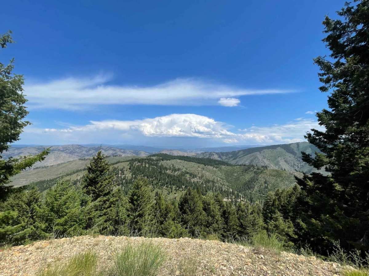
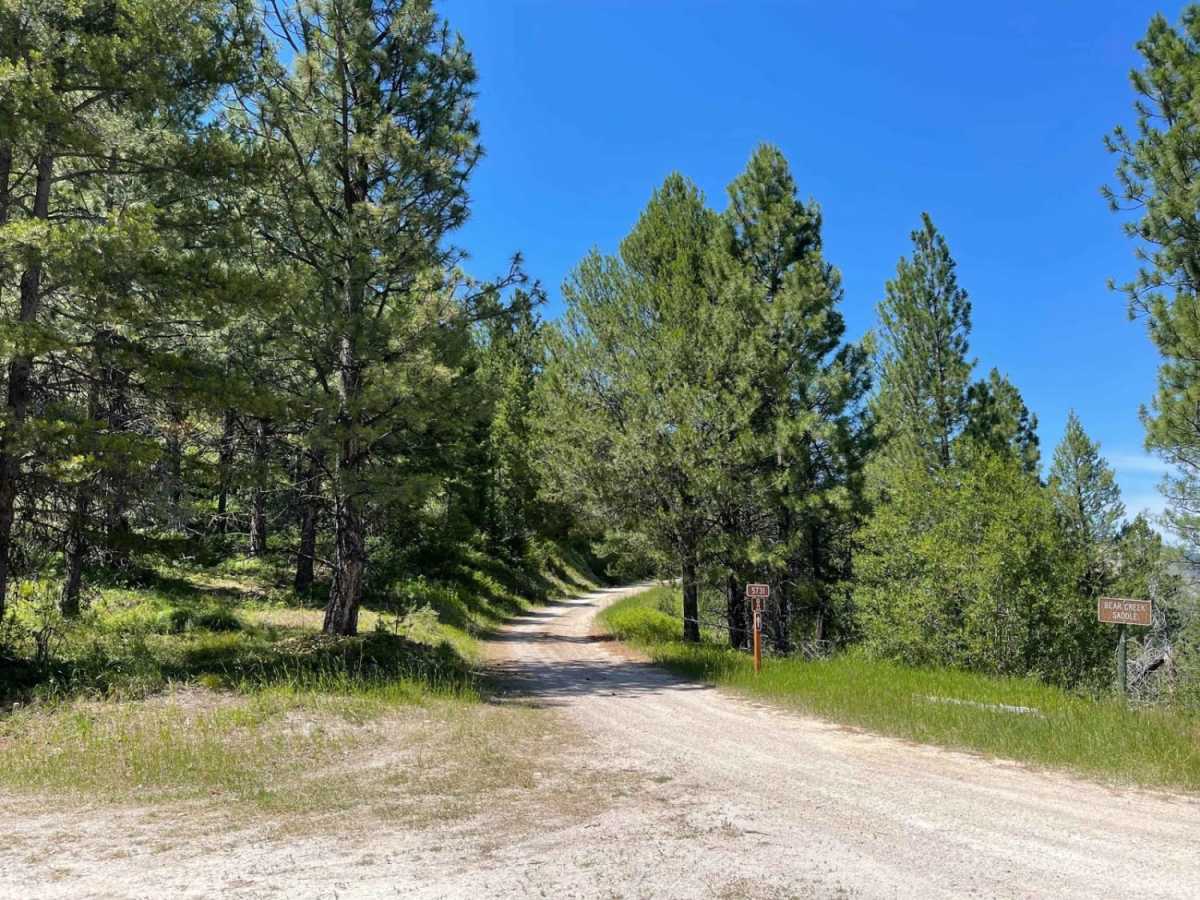
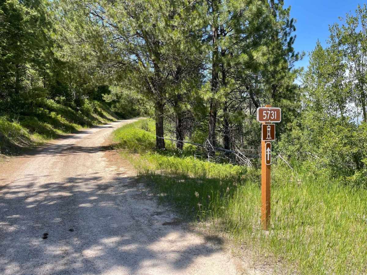
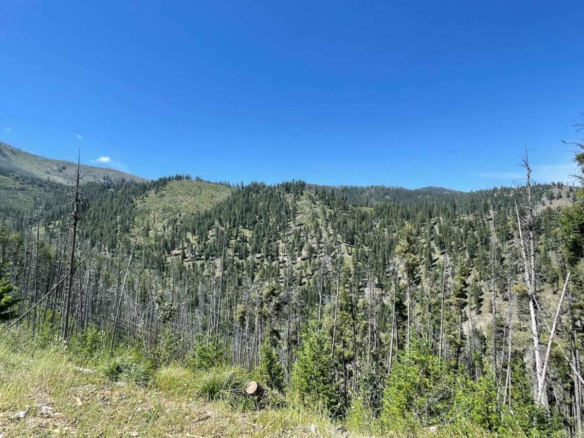
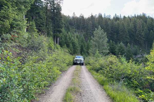
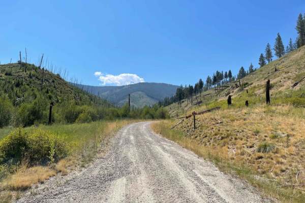
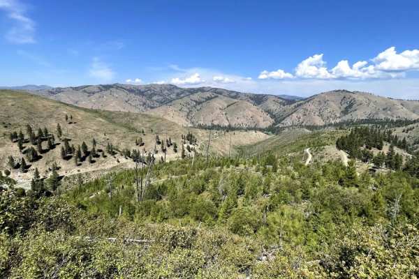
Medicine Point Trailhead is a scenic, moderately challenging 4.8-mile trail in the Bitterroot National Forest that is perfect for four-wheel-drive vehicles, high-clearance rigs, and SxSs looking for a mix of wooded terrain and spectacular mountain views. Starting at an elevation of 5,743 feet, the route climbs over 1,000 feet through a narrow path where overgrowing trees can brush against vehicles, making paint damage a distinct possibility. The first half features loose, rocky soil and several tight corners, requiring careful tire placement as the trail winds upward. At approximately the midway point, travelers will reach a large open clearing that serves as a major turnaround, campsite, and the trailhead for the Medicine Point Lookout hike, providing sweeping panoramic views of the surrounding wilderness.
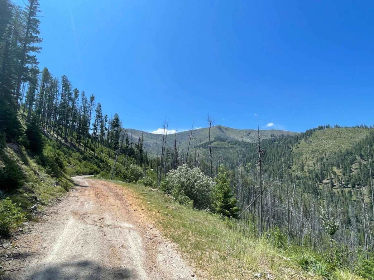
Continuing past the trailhead clearing, the route's difficulty increases as it transitions into a very narrow shelf road with steep drop-offs, downed timber, and dense brush that can make wider vehicles feel uncomfortably close to the edge. This section is less frequented, extremely tight, and lacks pullouts for oncoming traffic, making a spotter helpful for navigating the off-camber trees and obstacles on the shelf side. The trail peaks at 6,782 feet before ending at a decent-sized turnaround that offers additional primitive camping opportunities. Cell service is limited to a single bar near the beginning but becomes a full LTE signal at the higher elevations near the top.


 Offroad