
Off-Road Trails in Sonora
Discover off-road trails in Sonora
Off-Road Trails in Sonora
Discover the best off-road trails in Sonora. Browse trail maps, check difficulty ratings, and find your next adventure — whether you're looking for a quick ride or an all-day expedition.
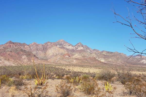
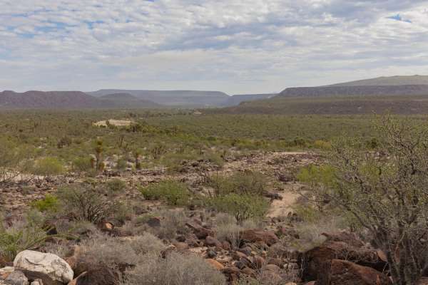
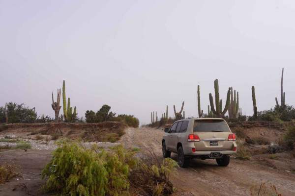
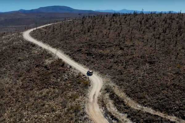
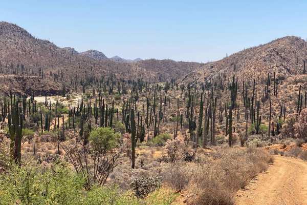
Valle de los Cirios
Traveling from Bahia de los Angeles back to the 1 near Benito Juarez. This route follows some old Baja 1000 tracks at points and terrain varies from rough rocky sections to sand. The route passes by Bahia San Rafael near the midpoint with beach access opportunities. No cell service, fuel or resupply...
Learn more about Valle de los Cirios
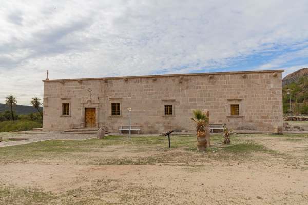
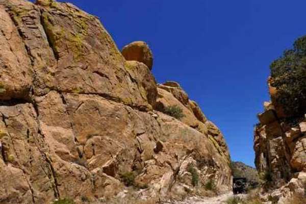
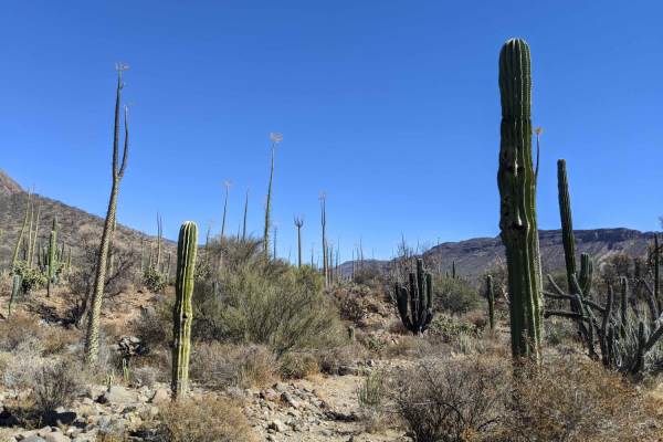
Mision Santa Gertrudis La Magna
This scenic offroad trail leads to Mision Santa Gertrudis La Magna from Valle de Los Cirrios. The trail terrain changes frequently, from sand, rocks, dirt, to pebbles and even a little bit of rock crawling. The trail winds a bit, but there is only one truly challenging section with rock obstacles, s...
Learn more about Mision Santa Gertrudis La Magna
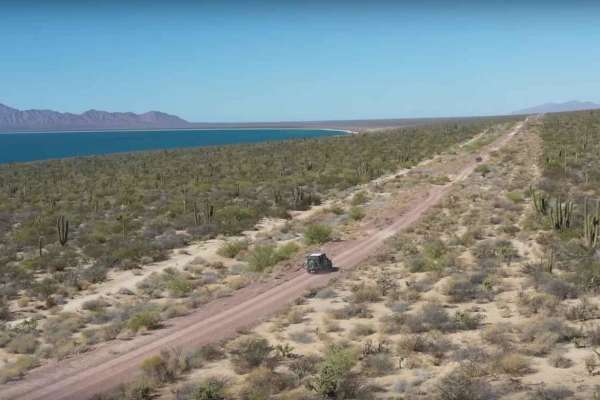
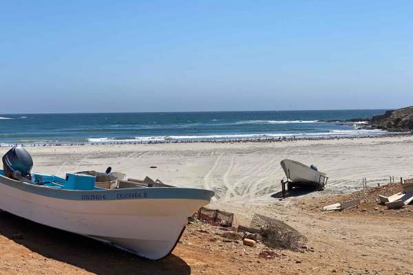
Isla Tiburon Coastal Desert Route Punta Chueca to Puerto Libertad
An off-road adventure starts from the serene and charming fishing village of Punta Chueca, culminating at the highway that leads to Puerto Libertad. This awe-inspiring route spans a considerable distance and treats you to a breathtaking amalgamation of natural desert scenery, and stunning views of t...
Learn more about Isla Tiburon Coastal Desert Route Punta Chueca to Puerto Libertad

12 Mile Trail
This 12-mile route contains off-camber turns, steep, short climbs, river bed washes, rocky paths, and beautiful scenery that contains wildlife, mountains, and several herds of cattle. Additionally, this area is highly used by illegal immigration and caution should be taken when traveling this area a...
Learn more about 12 Mile Trail
El Marmolito
The starting point of this trail is Mina Marmolita, where the Enchanted Valley trail concludes. It's crucial to note that what lies ahead is considerably more challenging and remote compared to the terrain you have already traversed. Solo travel is not advised. The initial stretch of the trail combi...
Learn more about El Marmolito
China Peak
This trail begins on the Middlemarch Road (Abril Mine), climbs through the San Juan Mine at Gordon Camp then continues to the top of China Peak at 7073' elevation. There are a couple loose, steep climbs but the view from the top is great.There is a series of ledges climbing up from the Middlemarch ...
Learn more about China Peak
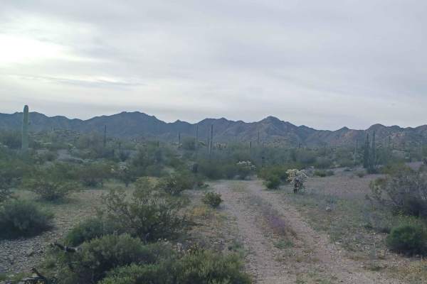
Desert Jungle to San Ignacio
This trail begins pretty mild, dusty, with a few rocky spots and surrounded by cacti. As the trail progresses, it opens up and then narrows again onto a rocky hill. This section is technical and definitely requires high clearance. The other side of the hill quickly transitions into a jungle-like lan...
Learn more about Desert Jungle to San Ignacio
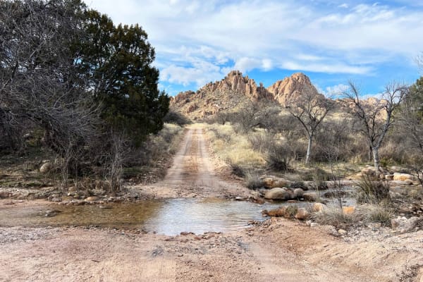
Slavin to West Stronghold
Slavin Forest Road 687 lies within Coronado National Forest. Most of the trail is smooth sandy gravel with incredible views of Council Rocks. Once reaching the gate at Corazon Ranch and turning onto West Stronghold FR 688 the road becomes more technical and narrow with washouts and many creek crossi...
Learn more about Slavin to West Stronghold
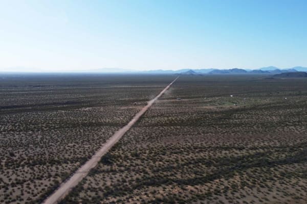
North Pump Station Road
North Pump Station Road is part of Ironwood Forest National Monument and Arizona State Trust Land. This road can be used to complete the long Silverbell Loop around the mountain. It is a smooth well graded dirt road with washboards in some areas and deep rolling washes. There are signs this area wil...
Learn more about North Pump Station Road

Catavina - San Jose del Faro
Remote dirt road route connecting Catavina to the tiny fishing village of San Jose del Faro on the Pacific Coast. This route is popular with the dual-sport touring motorcycle crowd as well as surfers looking to access parts of the famous Seven Sisters surf breaks. This route is easy when dry and can...
Learn more about Catavina - San Jose del Faro
San Juanico to San Ignacio via the Coast.
This route takes you from San Juanico to San Ignacio via the coast road. The terrain varies from slow corrugated roads with some large rocks that could cause flat tires to smooth fast sand roads. This is a quicker route between San Ignacio and San Juanico than the paved road if you're vehicle is abl...
Learn more about San Juanico to San Ignacio via the Coast.
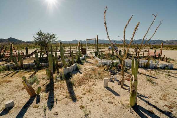
Mision San Borja
This is a dirt road accessing Mission de San Franciso Borja. This can be traveled as an out-and-back to the mission, back from either access point, or as a through route when coming in or out of Bahia de Los Angeles. Air down when leaving pavement and give yourself time for an hour visiting the miss...
Learn more about Mision San Borja
Pipeline Camp Spur
This out-and-back spur trail features exciting steep, long hill climbs with loose rocks: a few taller shelves, and deep rocky wash crossings. There are plenty of narrow bush sections to clear your vehicle of that pesky clear coat all over your paint. There are magnificent vistas along the trail with...
Learn more about Pipeline Camp Spur
Red Springs Pass
Beautiful scenic trail that takes you through the middle of the Tumacacori mountains range. The first leg of the trail heading south from Amado requires high clearance and 4wd to navigate the washes and steep hills. After this section the trail opens up to the mountain pass and great views and poten...
Learn more about Red Springs Pass
San Ignacio to San Juanico Cross Peninisula
Embark on a scenic journey along the broad dirt trail that stretches from the picturesque town of San Ignacio to the idyllic coastal haven of San Juanico. While this route typically accommodates two-wheel drive vehicles, inclement weather patterns prevalent in the area may warrant changes to the ter...
Learn more about San Ignacio to San Juanico Cross Peninisula
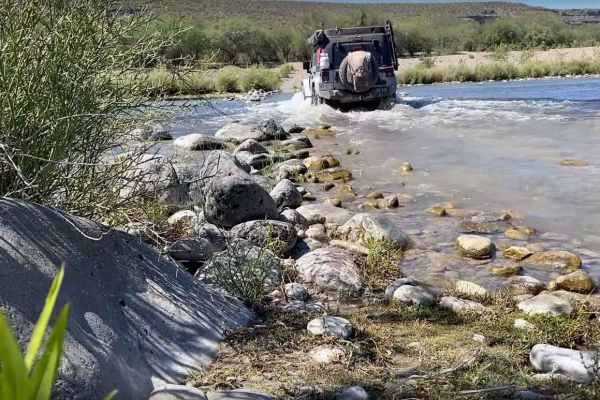
San Juanico to Mulege Transpeninsular Route
Embark on a picturesque offroad adventure through a diverse landscape that starts in the arid desert and meanders along a rugged riverbed, culminating in a breathtaking canyon before arriving at the charming town of Mulege. The trail primarily consists of unpaved, rocky terrain that presents some ch...
Learn more about San Juanico to Mulege Transpeninsular Route
Hidden Camp
Hidden camp is a beautiful road that runs through Bureau of Land Management property, it is an out and back, sections of this road are gravel while others are very overgrown and rocky, but when you get to the end you will have a very remote camp spot big enough for one or two vehicles. It is a prett...
Learn more about Hidden Camp
Coco's Corner
This is the last bit of an iconic trail, a new highway was built to connect Mex 5 to Mex 1, and this is what's left; a hope not to be forgotten trail that passes the original Coco Corner. Coming down from San Felipe you will arrive at the new Coco's Corner which is a relocation of the original, from...
Learn more about Coco's Corner
Enchanted Valley to Mina Marmolito
This trail offers a captivating experience as you journey through an impressive Cardon forest, making it likely the most remarkable sight of its kind. Some Cardon cacti reach over 40 feet in height, leaving a lasting impression. The sheer abundance of these cacti creates a dense forest-like atmosphe...
Learn more about Enchanted Valley to Mina Marmolito
Intermittent
Rough, rocky road between Laguna Chapala (Hwy 1 / Hwy 5 junction) and the Pacific Coast. This passes through an unnamed dry lakebed labeled as Laguna Intermittent. This lakebed and the silt beds nearby would be impassable when wet. The rocky bits are rough and slow, and this road sees very little us...
Learn more about Intermittent
ATV trails in Sonora
Explore ATV-friendly trails in Sonora. These trails are accessible for vehicles up to 50 inches wide, perfect for ATVs and smaller off-road machines.
Mision Santa Gertrudis La Magna
This scenic offroad trail leads to Mision Santa Gertrudis La Magna from Valle de Los Cirrios. The trail terrain changes frequently, from sand, rocks, dirt, to pebbles and even a little bit of rock crawling. The trail winds a bit, but there is only one truly challenging section with rock obstacles, s...
Learn more about Mision Santa Gertrudis La Magna
Isla Tiburon Coastal Desert Route Punta Chueca to Puerto Libertad
An off-road adventure starts from the serene and charming fishing village of Punta Chueca, culminating at the highway that leads to Puerto Libertad. This awe-inspiring route spans a considerable distance and treats you to a breathtaking amalgamation of natural desert scenery, and stunning views of t...
Learn more about Isla Tiburon Coastal Desert Route Punta Chueca to Puerto Libertad
12 Mile Trail
This 12-mile route contains off-camber turns, steep, short climbs, river bed washes, rocky paths, and beautiful scenery that contains wildlife, mountains, and several herds of cattle. Additionally, this area is highly used by illegal immigration and caution should be taken when traveling this area a...
Learn more about 12 Mile Trail
El Marmolito
The starting point of this trail is Mina Marmolita, where the Enchanted Valley trail concludes. It's crucial to note that what lies ahead is considerably more challenging and remote compared to the terrain you have already traversed. Solo travel is not advised. The initial stretch of the trail combi...
Learn more about El Marmolito
UTV/side-by-side trails in Sonora
Find UTV and side-by-side trails in Sonora. These trails accommodate vehicles up to 60 inches wide, ideal for UTVs, side-by-sides, and wider off-road rigs.
Mision Santa Gertrudis La Magna
This scenic offroad trail leads to Mision Santa Gertrudis La Magna from Valle de Los Cirrios. The trail terrain changes frequently, from sand, rocks, dirt, to pebbles and even a little bit of rock crawling. The trail winds a bit, but there is only one truly challenging section with rock obstacles, s...
Learn more about Mision Santa Gertrudis La Magna
Isla Tiburon Coastal Desert Route Punta Chueca to Puerto Libertad
An off-road adventure starts from the serene and charming fishing village of Punta Chueca, culminating at the highway that leads to Puerto Libertad. This awe-inspiring route spans a considerable distance and treats you to a breathtaking amalgamation of natural desert scenery, and stunning views of t...
Learn more about Isla Tiburon Coastal Desert Route Punta Chueca to Puerto Libertad
12 Mile Trail
This 12-mile route contains off-camber turns, steep, short climbs, river bed washes, rocky paths, and beautiful scenery that contains wildlife, mountains, and several herds of cattle. Additionally, this area is highly used by illegal immigration and caution should be taken when traveling this area a...
Learn more about 12 Mile Trail
El Marmolito
The starting point of this trail is Mina Marmolita, where the Enchanted Valley trail concludes. It's crucial to note that what lies ahead is considerably more challenging and remote compared to the terrain you have already traversed. Solo travel is not advised. The initial stretch of the trail combi...
Learn more about El Marmolito
The onX Offroad Difference
onX Offroad combines trail photos, descriptions, difficulty ratings, width restrictions, seasonality, and more in a user-friendly interface. Available on all devices, with offline access and full compatibility with CarPlay and Android Auto. Discover what you're missing today!
Open Trail Map