
Dirt Bike Trails
Near Whispering Pines, Arizona
Explore All Dirt Bike Trails Near Whispering Pines, Arizona
Dirt Bike Trails Near Whispering Pines, Arizona
Discover the best dirt bike trails near you. Browse trail maps, check difficulty ratings, and find your next adventure — whether you're looking for a quick ride or an all-day expedition.
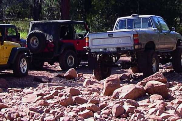
Pyeatt Draw
You can opt out of the most difficult section of this trail by taking the forest road the winds along the wash. An obstacle called "The Filter" causes many drivers to exit at that point. ATVs and UTVs may have a hard time in the wash, but unlicensed vehicles are permitted.
Learn more about Pyeatt Draw
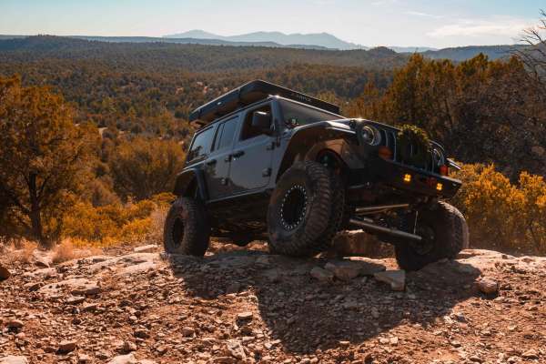
Rocker Knocker
This thrilling trail in Payson, Arizona, takes you through a beautiful, pine tree-lined landscape with breathtaking views of the iconic Mogollon Rim. Designed for adventurous spirits, the route features rugged terrain and challenging obstacles that demand a high-clearance 4x4 vehicle. Along the way,...
Learn more about Rocker Knocker
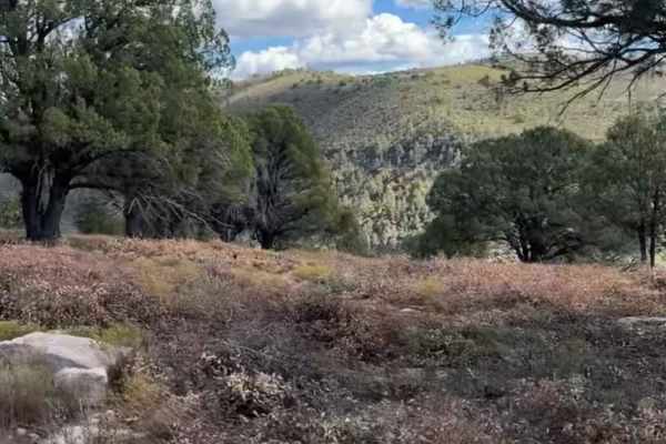
Flowing Springs MT-74
A rocky climb up decomposed red rock with stunning views of the Mogollon Rim. Best traveled in Fall or Spring due to a few creeks that run through the area. This route is best suited to high clearance vehicles and is not stock height friendly. A great half-day drive that will build skills in navigat...
Learn more about Flowing Springs MT-74
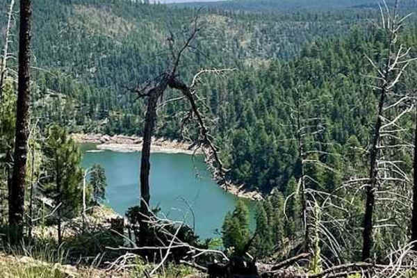
Battleground Ridge
This is a great trail! You can take your time to enjoy the scenery or drive quickly to reach your destination. The road is mostly gravel and dirt, with some deep ruts and mud towards the end. Getting here is easy;the trail is just off Rim Road West from Highway 87. There aren't many camping spots, b...
Learn more about Battleground Ridge
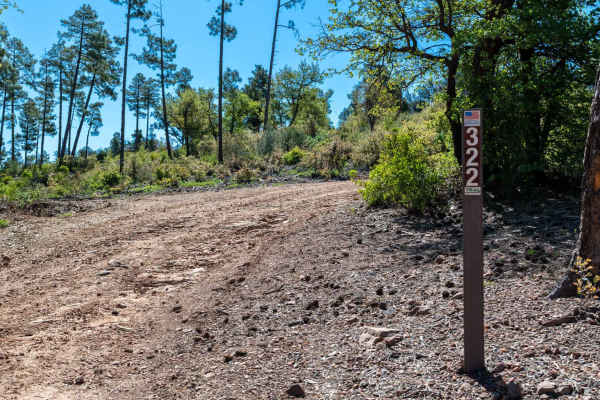
Cedar Mesa - FS 322
This rocky dirt road begins with a climb right out of the gate, featuring some washouts and uneven terrain early on. As you continue, the route gains and loses elevation frequently, with several steep climbs up small hilltops. There are a few great dispersed camp spots along the way offering fantast...
Learn more about Cedar Mesa - FS 322
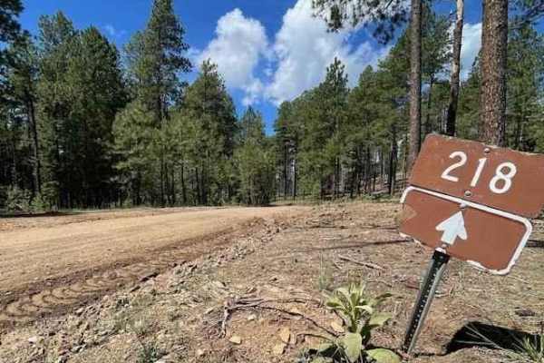
Milk Ranch Point
This trail starts about 3 miles in from where Rim Rd 300 begins off of HWY N 87. The first 6 miles of the trail are on a well-maintained dirt road that is easy to drive on and has enough space for two vehicles. There are some great camping spots with amazing views along the way. After 6 miles, the r...
Learn more about Milk Ranch Point
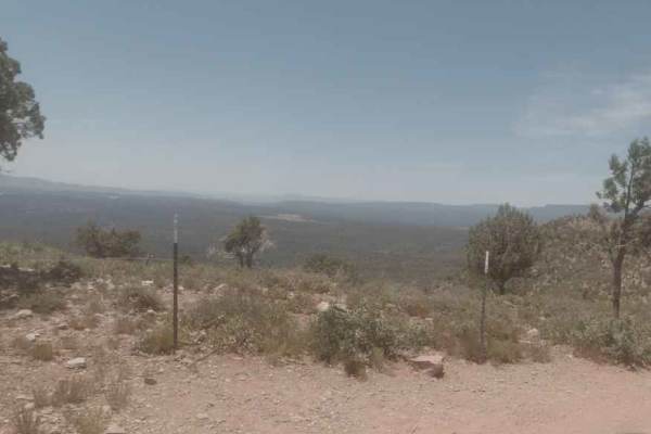
Diamond Point Lookout
This long, dusty trail cuts through the ponderosa pines and junipers common in the shadow of the Mogollon Rim. The main road is well graded and free of obstacles. There are several offshoots if you are looking for a minor challenge. As this trail lowers in elevation, you'll come to Diamond Point Loo...
Learn more about Diamond Point Lookout
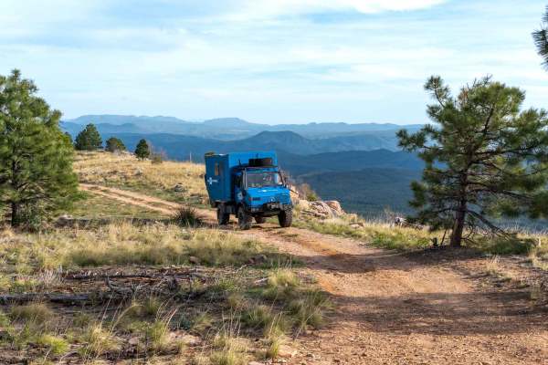
Myrtle Point - FS 300C
This dirt road features several dispersed camp spots along the route and leads out to a beautiful campsite with great views over the rim at the end. Along the way, you’ll encounter multiple large puddle sections that can become very challenging after rain or snow, though there are usually a few driv...
Learn more about Myrtle Point - FS 300C
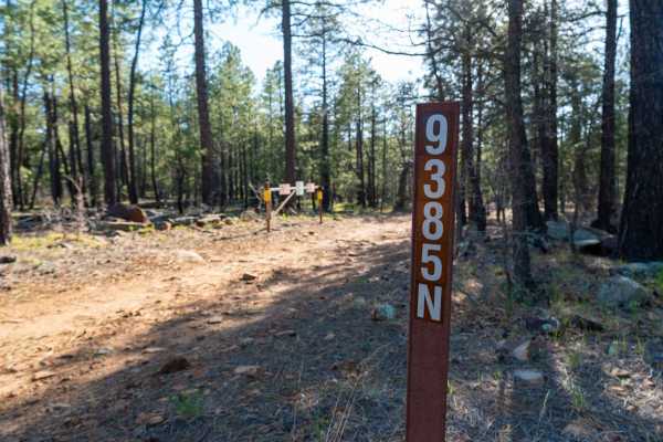
FS 9385N
This trail starts very rocky with long slab rock ledges running across the road, creating an uneven and bumpy surface right from the beginning. After the initial stretch, it transitions into a smoother but still rocky forest road as you pass the parking area for Dickinson Flat, a large open meadow. ...
Learn more about FS 9385N
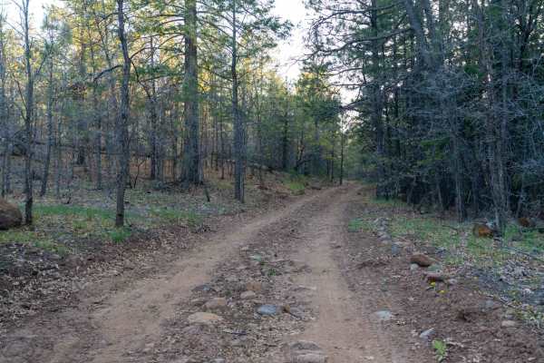
FS 9382L
This trail starts very rutted, creating an uneven and bumpy ride right from the beginning. As you continue, the road smooths out in sections but still winds through tighter tree corridors that can feel narrow in places. Overall, it remains an easy drive as it works its way through a beautiful Ponder...
Learn more about FS 9382L
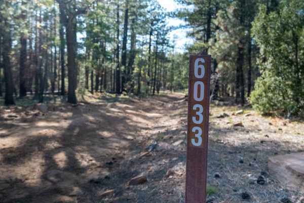
FS 6033
This rocky two-track heads out toward the edge of the rim, starting with sections of exposed rock in the road that are manageable but uneven. About half a mile in, the trail becomes much rockier with larger rocks protruding from the surface, making high clearance necessary. There are a few small led...
Learn more about FS 6033
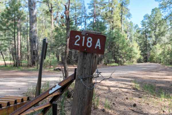
FS 218A
This very easy, graded dirt road winds through the forest as it heads toward Milk Ranch Point. The drive is smooth and straightforward, with a few dispersed camp spots along the main road and larger camp areas located along the spur roads. It’s a relaxed, scenic route that's worth exploring on your ...
Learn more about FS 218A
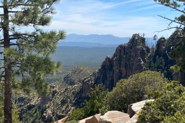
Rim Road West
Epic vistas and endless possibilities! This trail offers little to no technical challenge but makes up for this with some of the most amazing views in the state. This is a great route for beginners and those with 2WD vehicles. Experienced drivers will find adventure here as well by adding in side ro...
Learn more about Rim Road West
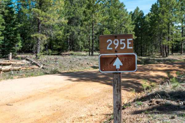
Knoll Lake - FS 295E
This maintained, graded dirt road leads back to the beautiful Knoll Lake and Knoll Lake Campground. The drive is mostly smooth and easy, though there are a few slightly rutted and bumpy sections along with occasional exposed rocks. Dispersed camp spots can be found along the route, making it a conve...
Learn more about Knoll Lake - FS 295E
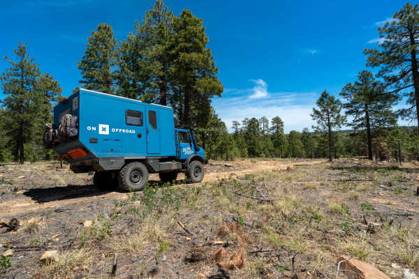
FS 9708H
This open dirt road starts fairly level and easy, with a few camp spots along the way. As you continue, you’ll encounter some exposed rock and small ledges, but nothing overly difficult. The trail winds through the forest with beautiful views, passing a small pond before gradually descending toward ...
Learn more about FS 9708H
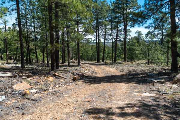
FS 9708J
This rocky and sandy two-track runs parallel to the rim, winding its way through a forest of large ponderosa pines. The trail features a few small rock ledges and becomes overgrown in sections, giving it a lightly traveled feel. As you continue, the road gradually narrows and becomes less defined be...
Learn more about FS 9708J
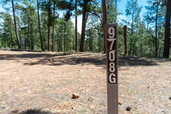
FS 9708G
This trail starts as a wide but rocky two-track that weaves its way back into a forest of Ponderosa Pines. The route gradually loses elevation as you head toward the rim, with a mix of rocky and occasional sandy sections along the way. The road eventually dead-ends just short of the rim, but still o...
Learn more about FS 9708G
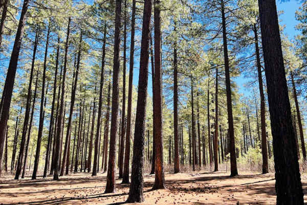
Pivot Rock Canyon
This is a lovely, mostly graded dirt road that connects from Highway 89 over to the Hicks/Duncan Trail. There are a plethora of large open flat campsites to choose from, particularly on either end of the trail. This would be easy access for larger vehicles with trailers and motorhomes. The Pivot Roc...
Learn more about Pivot Rock Canyon
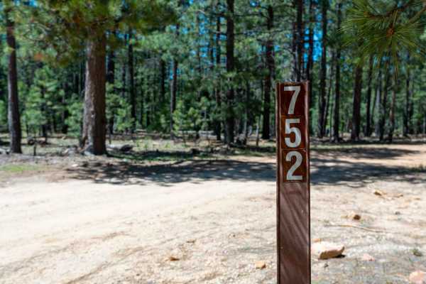
FS 752
This dirt two-track heads back toward Knoll Lake, starting flat and easy before quickly introducing a series of large puddles that can vary greatly depending on recent rain or snow. There are usually drive-arounds, but conditions can change fast if it’s been wet. The trail offers many dispersed camp...
Learn more about FS 752
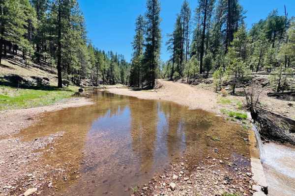
Clover Spur Maintained
This trail runs from the highway all the way to Tom's Creek, where the trail crosses the Tom's Creek water crossing. At that point, the trail heads uphill and turns into a narrow cliff-side shelf road. It would not be easy to pass two vehicles without one needing to back up. The trail drives along a...
Learn more about Clover Spur Maintained
ATV trails near Whispering Pines, Arizona
Explore ATV-friendly trails near you. These trails are accessible for vehicles up to 50 inches wide, perfect for ATVs and smaller off-road machines.
Pyeatt Draw
You can opt out of the most difficult section of this trail by taking the forest road the winds along the wash. An obstacle called "The Filter" causes many drivers to exit at that point. ATVs and UTVs may have a hard time in the wash, but unlicensed vehicles are permitted.
Learn more about Pyeatt Draw
Rocker Knocker
This thrilling trail in Payson, Arizona, takes you through a beautiful, pine tree-lined landscape with breathtaking views of the iconic Mogollon Rim. Designed for adventurous spirits, the route features rugged terrain and challenging obstacles that demand a high-clearance 4x4 vehicle. Along the way,...
Learn more about Rocker Knocker
Flowing Springs MT-74
A rocky climb up decomposed red rock with stunning views of the Mogollon Rim. Best traveled in Fall or Spring due to a few creeks that run through the area. This route is best suited to high clearance vehicles and is not stock height friendly. A great half-day drive that will build skills in navigat...
Learn more about Flowing Springs MT-74
Battleground Ridge
This is a great trail! You can take your time to enjoy the scenery or drive quickly to reach your destination. The road is mostly gravel and dirt, with some deep ruts and mud towards the end. Getting here is easy;the trail is just off Rim Road West from Highway 87. There aren't many camping spots, b...
Learn more about Battleground Ridge
UTV/side-by-side trails near Whispering Pines, Arizona
Find UTV and side-by-side trails near you. These trails accommodate vehicles up to 60 inches wide, ideal for UTVs, side-by-sides, and wider off-road rigs.
Pyeatt Draw
You can opt out of the most difficult section of this trail by taking the forest road the winds along the wash. An obstacle called "The Filter" causes many drivers to exit at that point. ATVs and UTVs may have a hard time in the wash, but unlicensed vehicles are permitted.
Learn more about Pyeatt Draw
Rocker Knocker
This thrilling trail in Payson, Arizona, takes you through a beautiful, pine tree-lined landscape with breathtaking views of the iconic Mogollon Rim. Designed for adventurous spirits, the route features rugged terrain and challenging obstacles that demand a high-clearance 4x4 vehicle. Along the way,...
Learn more about Rocker Knocker
Flowing Springs MT-74
A rocky climb up decomposed red rock with stunning views of the Mogollon Rim. Best traveled in Fall or Spring due to a few creeks that run through the area. This route is best suited to high clearance vehicles and is not stock height friendly. A great half-day drive that will build skills in navigat...
Learn more about Flowing Springs MT-74
Battleground Ridge
This is a great trail! You can take your time to enjoy the scenery or drive quickly to reach your destination. The road is mostly gravel and dirt, with some deep ruts and mud towards the end. Getting here is easy;the trail is just off Rim Road West from Highway 87. There aren't many camping spots, b...
Learn more about Battleground Ridge
The onX Offroad Difference
onX Offroad combines trail photos, descriptions, difficulty ratings, width restrictions, seasonality, and more in a user-friendly interface. Available on all devices, with offline access and full compatibility with CarPlay and Android Auto. Discover what you're missing today!
Open Trail Map