
Dirt Bike Trails
Near Tubac, Arizona
Explore All Dirt Bike Trails Near Tubac, Arizona
Dirt Bike Trails Near Tubac, Arizona
Discover the best dirt bike trails near you. Browse trail maps, check difficulty ratings, and find your next adventure — whether you're looking for a quick ride or an all-day expedition.

486
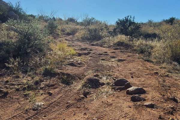
This entire trail is road-width, although designated for dirt bikes only. It starts off Sardina Canyon Road (684) in a wash full of small rocks, and rides north towards some rocky outcroppings, riding past the entrance for 485. The trail surface is constantly full of small loose rocks and shallow ru...
Learn more about 486
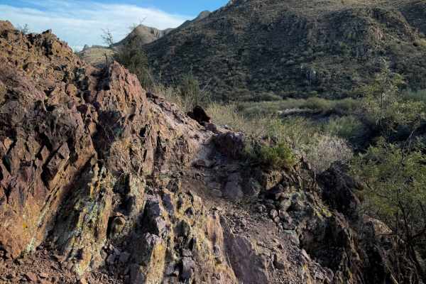
485
This is a fun, rocky, moderate single track through the Red Spring Pass trail system. The locals’ signs refer to it as the “Stage” Trail, as it is the closest trail to the staging area, starting on Sardina Canyon Road and connecting to the easy trail 486. From the west end, it crosses a rocky wash a...
Learn more about 485
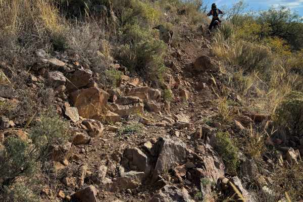
484
This trail within the Red Spring Pass trail system is full of small loose rocks, steep climbs, and short rock ledges that make it more physically demanding to handle the bike through all the rocks for 2.6 miles. From the north entrance at the intersection with 483, the trail starts climbing up the n...
Learn more about 484
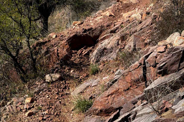
483B
This is a short but intermediate spur trail off of 483 that rides through constantly rocky terrain in the Coronado National Forest. The terrain is rolling desert hills covered in mesquite trees and ocotillos. The trail has sharp turns, little dips across sudden ravines, and frequent embedded boulder...
Learn more about 483B
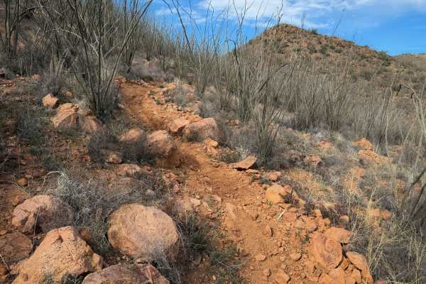
483
This is one of the longer trails through the Red Spring Pass trail system. The entire route is moderate difficulty, with frequent short climbs and descents that are full of loose baby head-sized rocks. Expect ruts, steep spots, and moderate rock obstacles. The south end of the trail is more gradual ...
Learn more about 483
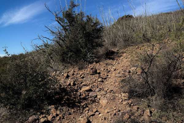
483A
This is a short but moderate spur that connects 482 and 483, which are two of the longer trails in the trail system. The mile-long route is constantly full of loose baby head-sized rocks, with short climbs and descents. The trail winds across the desert hilltops, past ocotillos and mesquite trees. T...
Learn more about 483A
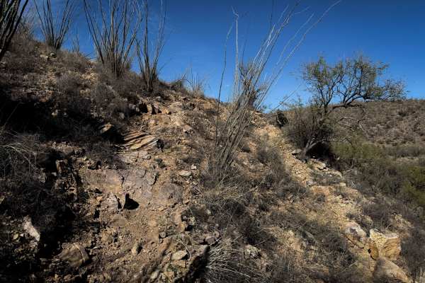
482A
This is a short spur off of the longer 482 single track that takes an alternate route back to Sardina Road (684). The trail has a mix of flowy singletrack through the flat desert terrain, through mesquite trees over the rolling hilltops, and more rugged rocky sections. It dips down into a ravine at ...
Learn more about 482A

482
This is the longest single track in the Red Spring Pass trail system. It goes for 5 miles through a rolling, rugged desert terrain that is constantly full of loose baby heads, with ruts and tight turns through cactus. Expect very loose terrain with sudden ruts, and small climbs and descents that wil...
Learn more about 482
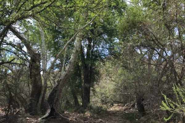
Red Springs Pass
Beautiful scenic trail that takes you through the middle of the Tumacacori mountains range. The first leg of the trail heading south from Amado requires high clearance and 4wd to navigate the washes and steep hills. After this section the trail opens up to the mountain pass and great views and poten...
Learn more about Red Springs Pass

480
This is a short trail through the Red Spring Pass trail system. It starts and ends off of Sardina Canyon Road (684), paralleling the main road as it winds through a rocky desert terrain full of mesquite trees and ocotillos. The middle of the trail rides over the “moonscape,” which is an area of ligh...
Learn more about 480
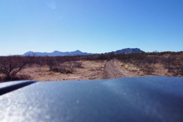
12 Mile Trail
12 Mile Trail offers an engaging moderate off-road experience for four-wheel-drive vehicles and SxSs looking to explore the rugged desert terrain of southern Arizona between Interstate 19 and West Arivaca Road. This point-to-point route traverses rolling hills and sandy washes, presenting a mix of o...
Learn more about 12 Mile Trail
Bull Springs Road
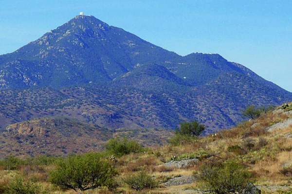
Experienced drivers will find this trail easy, but it has its share of rough sections, and it is extremely remote. You'll cross through ranchland and then hit Coronado National Forest to climb the lower part of the Santa Rita Mountains to 5,000 feet. There are some mines and cool adobe ruins you can...
Learn more about Bull Springs Road
481
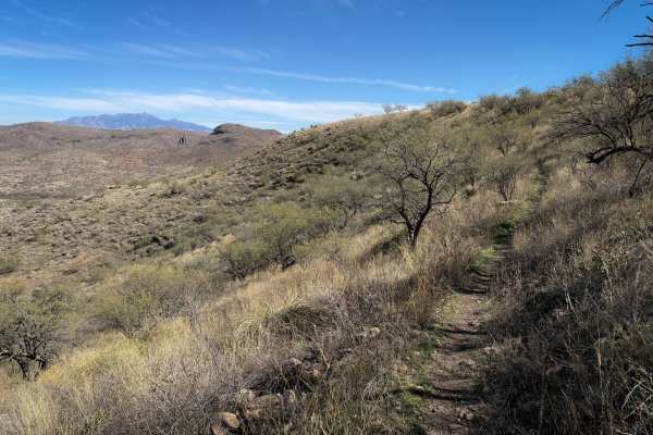
The west end of this trail starts as road-width, winding through the mesquite trees, over a layer of small loose rocks. The trail starts to climb up the rolling desert hill along a fence line, with ruts and baby head rocks, riding past prickly pear cactus and ocotillos. At the top of the hill, the t...
Learn more about 481
Sardina Canyon
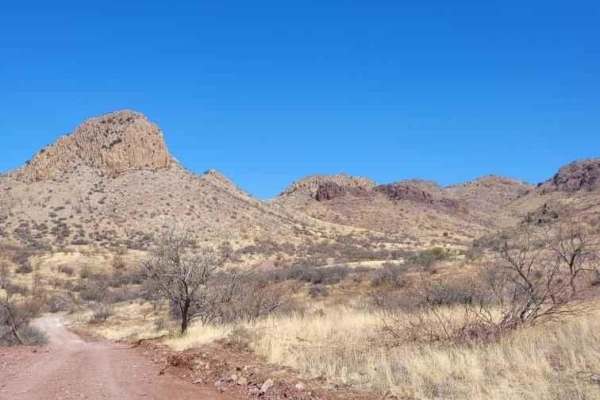
It's a scenic trail with plenty of great views. It's not too bad to travel as it's recently been overhauled by the forest service, but it still has a few steep hills and washes to cross that could become difficult in the monsoon season. Overall, it's a great trail to check out!
Learn more about Sardina Canyon
Whipple Obervatory Rally
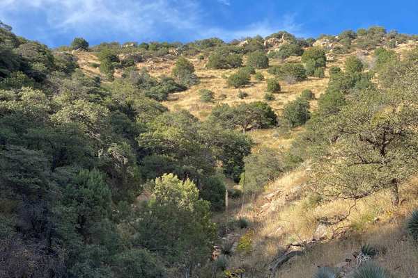
Are you visiting family in Tucson and want to scratch that dirt road itch? Looking for a quick and easy adventure with sweeping views? Do you want to rally your family's crossover by taking the long way to the car wash? Buckle up, because this is the adventure for you!Mount Hopkins is home to the Wh...
Learn more about Whipple Obervatory Rally
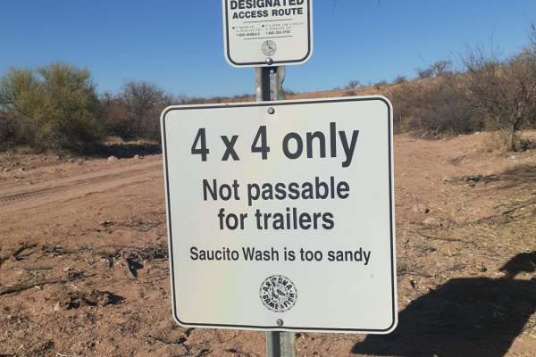
North Tumacacori Trail
Good easy trail with a lot of spurs and views of the Tumacacori Mountains,the Cerro Colorado mountain range as well as Santa Rita mountain range. Also the option of taking a bypass through the saucito wash back to Arivaca Road. Along the trail from the I-19 frontage road headed west you will pass by...
Learn more about North Tumacacori Trail
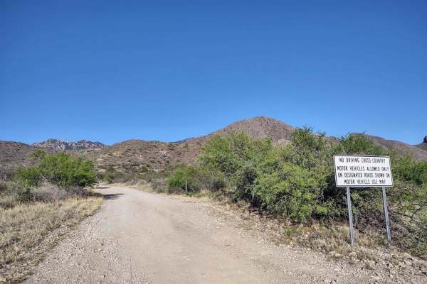
Forest Road 183
Forest Road 183 takes you from the low desert up to nearly 6,000FT in elevation past the hiking trail heads for Elephant Head and Aguas Caliente. The route varies from 2wd high clearance to steep and 4wd high clearance recommended by the terminus at a locked gate and towers. There are campsites all ...
Learn more about Forest Road 183
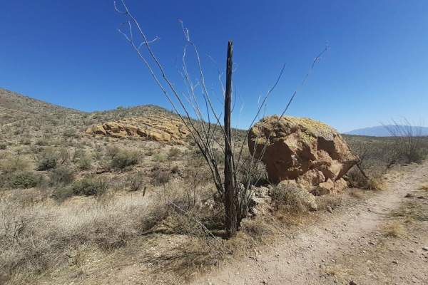
Horseshoe tank trail
Good desert mountain trail with lots of rock/ledge obstacles. Also send washes that could be dangerous during monsoon season. Best to visit in spring or early summer before the rainy season starts. Along the trail there are plenty of scenic views and the trail stops at the historic horseshoe tank. I...
Learn more about Horseshoe tank trail
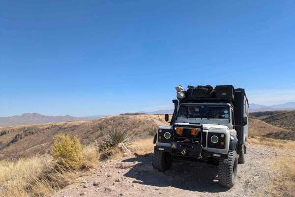
Wise Mesa - FR4151
Accessed through a suburb, this trail at first appears not to be very interesting, but the further you travel, the more scenic the trail becomes. Winding through ranchland, the trail is bumpy, dusty, and rocky but not challenging until you reach the trail down to the small lake where camping is poss...
Learn more about Wise Mesa - FR4151
Cerro Colorado South Access
This is a scenic trail with a few mild obstacles. There is a relatively rocky patch of trail north of Cradle Tank, but other than that, it's not too technical. Definitely a very scenic drive with a lot of mountain views. It can be done in a good 4x4 vehicle with plenty of ground clearance. A couple ...
Learn more about Cerro Colorado South Access
ATV trails near Tubac, Arizona
Explore ATV-friendly trails near you. These trails are accessible for vehicles up to 50 inches wide, perfect for ATVs and smaller off-road machines.
Red Springs Pass
Beautiful scenic trail that takes you through the middle of the Tumacacori mountains range. The first leg of the trail heading south from Amado requires high clearance and 4wd to navigate the washes and steep hills. After this section the trail opens up to the mountain pass and great views and poten...
Learn more about Red Springs Pass
12 Mile Trail
12 Mile Trail offers an engaging moderate off-road experience for four-wheel-drive vehicles and SxSs looking to explore the rugged desert terrain of southern Arizona between Interstate 19 and West Arivaca Road. This point-to-point route traverses rolling hills and sandy washes, presenting a mix of o...
Learn more about 12 Mile Trail
Bull Springs Road
Experienced drivers will find this trail easy, but it has its share of rough sections, and it is extremely remote. You'll cross through ranchland and then hit Coronado National Forest to climb the lower part of the Santa Rita Mountains to 5,000 feet. There are some mines and cool adobe ruins you can...
Learn more about Bull Springs Road
Sardina Canyon
It's a scenic trail with plenty of great views. It's not too bad to travel as it's recently been overhauled by the forest service, but it still has a few steep hills and washes to cross that could become difficult in the monsoon season. Overall, it's a great trail to check out!
Learn more about Sardina Canyon
UTV/side-by-side trails near Tubac, Arizona
Find UTV and side-by-side trails near you. These trails accommodate vehicles up to 60 inches wide, ideal for UTVs, side-by-sides, and wider off-road rigs.
Red Springs Pass
Beautiful scenic trail that takes you through the middle of the Tumacacori mountains range. The first leg of the trail heading south from Amado requires high clearance and 4wd to navigate the washes and steep hills. After this section the trail opens up to the mountain pass and great views and poten...
Learn more about Red Springs Pass
12 Mile Trail
12 Mile Trail offers an engaging moderate off-road experience for four-wheel-drive vehicles and SxSs looking to explore the rugged desert terrain of southern Arizona between Interstate 19 and West Arivaca Road. This point-to-point route traverses rolling hills and sandy washes, presenting a mix of o...
Learn more about 12 Mile Trail
Bull Springs Road
Experienced drivers will find this trail easy, but it has its share of rough sections, and it is extremely remote. You'll cross through ranchland and then hit Coronado National Forest to climb the lower part of the Santa Rita Mountains to 5,000 feet. There are some mines and cool adobe ruins you can...
Learn more about Bull Springs Road
Sardina Canyon
It's a scenic trail with plenty of great views. It's not too bad to travel as it's recently been overhauled by the forest service, but it still has a few steep hills and washes to cross that could become difficult in the monsoon season. Overall, it's a great trail to check out!
Learn more about Sardina Canyon
The onX Offroad Difference
onX Offroad combines trail photos, descriptions, difficulty ratings, width restrictions, seasonality, and more in a user-friendly interface. Available on all devices, with offline access and full compatibility with CarPlay and Android Auto. Discover what you're missing today!
Open Trail Map