
Dirt Bike Trails
Near Story, Wyoming
Explore All Dirt Bike Trails Near Story, Wyoming
Dirt Bike Trails Near Story, Wyoming
Discover the best dirt bike trails near you. Browse trail maps, check difficulty ratings, and find your next adventure — whether you're looking for a quick ride or an all-day expedition.
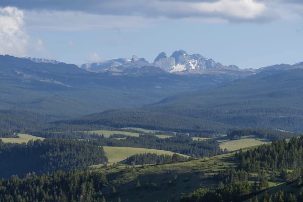
Red Grade Road
Red Grade Road traverses Bighorn National Forest from its eastern boundary near Big Horn, Wyoming to US-14 in the center of the forest, providing access to numerous views of the Cloud Peak Wilderness and additional trails and recreation opportunities. The trail is well-graded dirt with a few rocky a...
Learn more about Red Grade Road
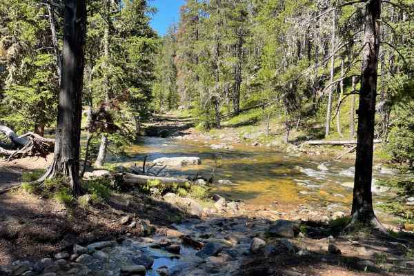
Wyoming Big Horns
Start the day at the red-grade road outside Sheridan, Wyoming. It's not a good idea to ride in this area alone;this is very challenging riding. Start up the dirt road and come to a creek that is about 30 feet across and about 2 feet deep. Crossing on a bike isn't too bad. From there, cruise up some ...
Learn more about Wyoming Big Horns
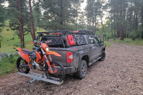
Penrose Trail
Penrose trail is one of the better 50" trails one the East side of the Bighorns. Park in the designated area just west of Story. The trail climbs relentlessly and has several difficult rock gardens to navigate. The reward at the top of Penrose Trail is Penrose Park. One of the best views in the Big...
Learn more about Penrose Trail
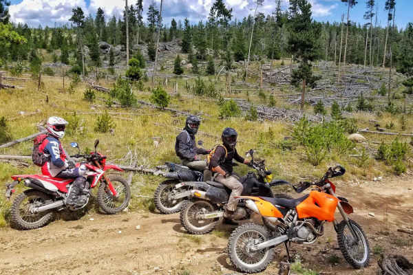
FS 204
This is a short, fun little 50-inch trail that links back to a 4x4 trail. This trail is much less traveled but provides some great views and some fun twisty turns. Some of the trail is prone to serious rutting from spring run-off so use caution on the ruts and avoid after a fresh rain.
Learn more about FS 204

Little Goose
This scenic 15.3-mile route in the Bighorn Mountains is perfect for intermediate offroaders seeking a mix of dense evergreen forests, open meadows, and challenging mountain terrain. Starting at an elevation of 6,929 feet and climbing to a peak of 8,850 feet, this trail offers a cumulative elevation ...
Learn more about Little Goose
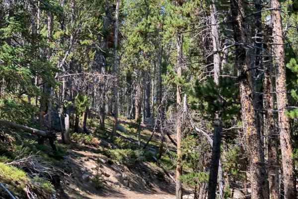
FR 365
This short out and back spur of FR 394 travels through dense forest to the open meadow of Triangle Park where there is a foot trailhead. The road is mostly dirt with scattered rocks and becomes narrower as it progresses. The descent into Triangle Park is moderately steep with loose rocks. This spur ...
Learn more about FR 365
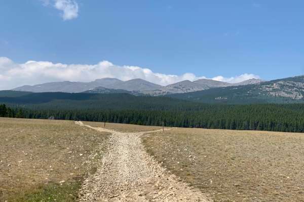
FR 394
FR 349 is an out and back trail that begins at Hunter Campground and ends at the boundary to the Cloud Peak Wilderness. The first 4 miles are mostly one vehicle wide with few pull outs so you may find yourself having to back-up to yield right-of-way. This portion of the trail is rocky but fairly eas...
Learn more about FR 394
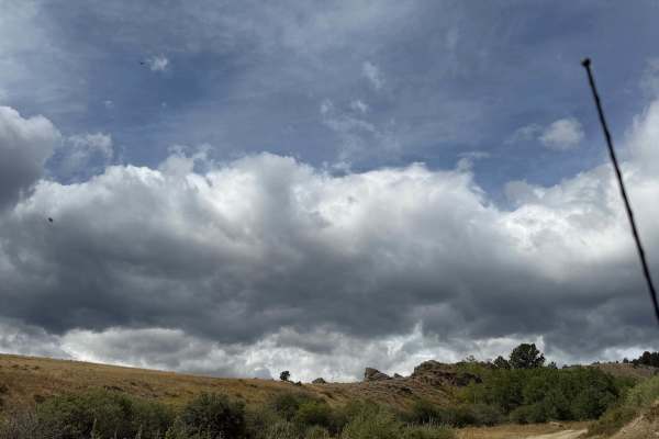
French Creek
Located just outside Buffalo, this out-and-back route begins where the trail turns off the main highway. Continue up the maintained dirt road past a large parking and turnaround area that provides a good place to air down and prepare for the trip.
The beginning of the route passes through private p...
Learn more about French Creek
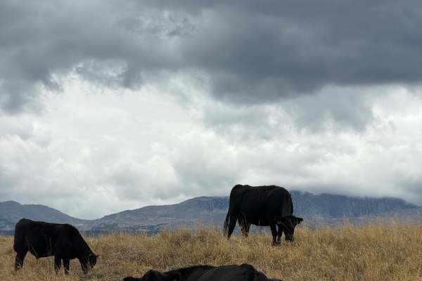
Cull Watt
This road starts at US-16 from Road 403, about 15 minutes west of Buffalo. It begins at a swing-arm barricade next to the 366 marker and the posted mud warning sign, then follows a mellow two-track across open grassland. Expect cattle grazing right alongside the road, so take it slow and give them r...
Learn more about Cull Watt
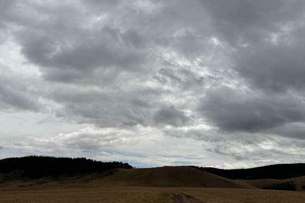
Grouse Mountain Meadow
The road leaves US-16 between Buffalo and Ten Sleep and rolls through a beautiful open meadow, passing a handful of wide-open, quiet dispersed campsites before reaching a green pipe gate. The gate marks the start of the seasonal closure, so be sure to check closure dates before heading out.
Past th...
Learn more about Grouse Mountain Meadow
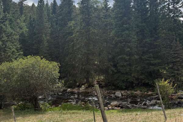
Cabin Road Trail
This is a short, five-minute out-and-back trail located off Highway 16, with a couple of beautiful dispersed campsites along the way. Any standard vehicle should be able to complete it under dry conditions. There is one tiny creek crossing, but no obstacles. The road runs alongside cabins that are o...
Learn more about Cabin Road Trail
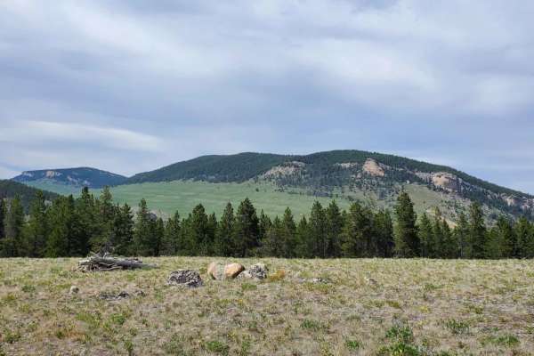
Big Goose/Game Creek
The majority of this trail is gravel and easy going up until the Game Creek turn off. The main entry is used by many people coming into the mountains to camp or fish so being on the lookout for oncoming traffic in the corners is a must. Once on Game Creek Trail the terrain chances to steep and rocky...
Learn more about Big Goose/Game Creek
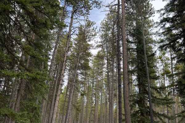
Middle Fork Campground Road
This is a graded gravel road that turns off US-16 in the Bighorn National Forest at the Middle Fork Campground sign and cattle guard. The road runs through dense spruce and lodgepole forest along the Middle Fork of Clear Creek, passing the developed campground sites with picnic tables and fire rings...
Learn more about Middle Fork Campground Road
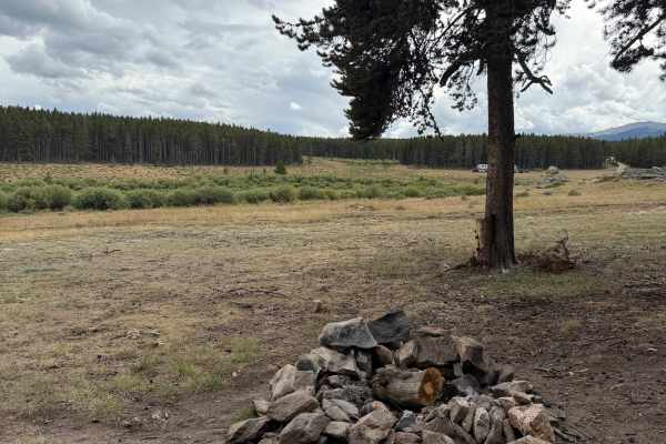
Circle Park
Located about 15 miles from the center of Buffalo, this trail begins directly off Highway 16. The main dirt road is suitable for most vehicles under dry conditions and leads to beautiful dispersed campsites. Several other trails branch off left from Circle Park, offering access to more areas to expl...
Learn more about Circle Park
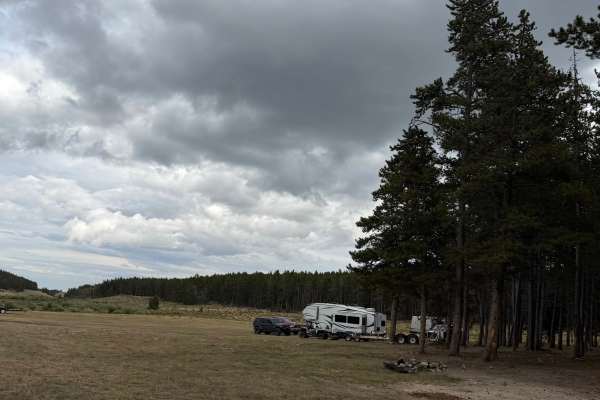
South Clear Creek Trail
This trail begins off Circle Park Road from Highway 16. Take the first left at the initial junction, then stay left when the trail splits again. The route passes through a beautiful open meadow with dispersed campsites, followed by several more shaded campsites tucked into the trees.
The dirt road ...
Learn more about South Clear Creek Trail
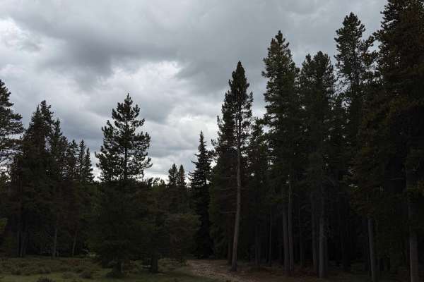
Circle Cut Across
From Highway 16, turn onto Circle Park Road, then turn left toward South Clear Creek. When the road forks, take the right-hand route. If you’re adding this trail to South Clear Creek to create a longer loop, take the same right turn at the fork.
This variation is much more challenging, especially w...
Learn more about Circle Cut Across
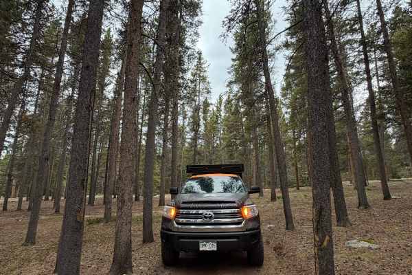
Circle Cut Across Loop
Add this loop to Circle Cut Across for a more technical variation. When you reach the fork near the end of the trail, turn right instead of left. The loop travels through narrow trees and follows a rutted road with loose rock. Four-wheel drive and high clearance are strongly recommended for this add...
Learn more about Circle Cut Across Loop
Kingsbury/Todd Cabin to Hazelton Road
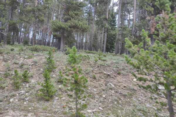
This trail goes through beautiful Bighorn Mountain meadows. There are numerous camping sites...just park your camper anywhere and stay for 2 weeks for free. You won't see neighbors anywhere close, and you're very likely to have moose and elk wander by your campsite. The historical cabin is restored...
Learn more about Kingsbury/Todd Cabin to Hazelton Road
Little Tongue
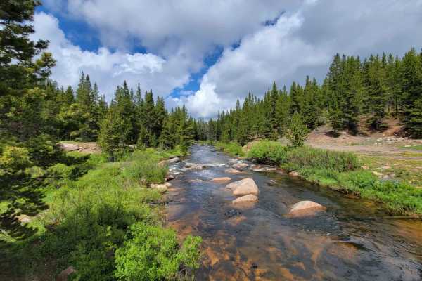
Little Tongue is a short, scenic side spur off Black Mountain in the Bighorn National Forest, offering a moderately challenging trek for four-wheel-drive vehicles and SxSs looking for scenic overlooks and a taste of rocky terrain. Spanning approximately 3.3 miles, this trail features an elevation ra...
Learn more about Little Tongue
SR 280 Boulder Basin
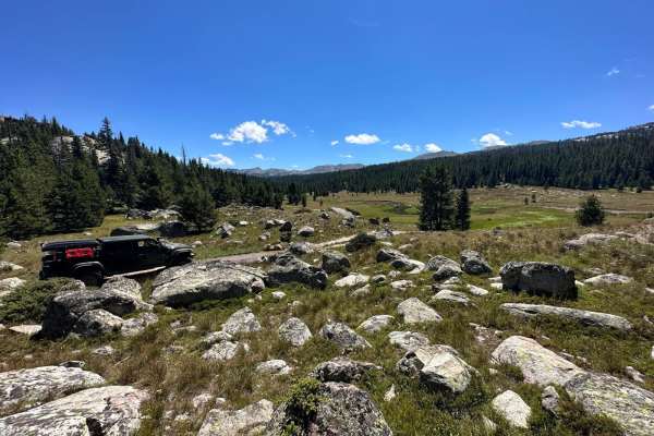
This trail lies between SR 270 and SR 321. The north end of the trail begins in an area where a forest fire previously occurred and continues through mostly forested terrain, with a few open areas along the way. It is primarily dirt with rocky sections, and as the name hints, there are many boulders...
Learn more about SR 280 Boulder Basin
ATV trails near Story, Wyoming
Explore ATV-friendly trails near you. These trails are accessible for vehicles up to 50 inches wide, perfect for ATVs and smaller off-road machines.
Red Grade Road
Red Grade Road traverses Bighorn National Forest from its eastern boundary near Big Horn, Wyoming to US-14 in the center of the forest, providing access to numerous views of the Cloud Peak Wilderness and additional trails and recreation opportunities. The trail is well-graded dirt with a few rocky a...
Learn more about Red Grade Road
Wyoming Big Horns
Start the day at the red-grade road outside Sheridan, Wyoming. It's not a good idea to ride in this area alone;this is very challenging riding. Start up the dirt road and come to a creek that is about 30 feet across and about 2 feet deep. Crossing on a bike isn't too bad. From there, cruise up some ...
Learn more about Wyoming Big Horns
Penrose Trail
Penrose trail is one of the better 50" trails one the East side of the Bighorns. Park in the designated area just west of Story. The trail climbs relentlessly and has several difficult rock gardens to navigate. The reward at the top of Penrose Trail is Penrose Park. One of the best views in the Big...
Learn more about Penrose Trail
FS 204
This is a short, fun little 50-inch trail that links back to a 4x4 trail. This trail is much less traveled but provides some great views and some fun twisty turns. Some of the trail is prone to serious rutting from spring run-off so use caution on the ruts and avoid after a fresh rain.
Learn more about FS 204
UTV/side-by-side trails near Story, Wyoming
Find UTV and side-by-side trails near you. These trails accommodate vehicles up to 60 inches wide, ideal for UTVs, side-by-sides, and wider off-road rigs.
Red Grade Road
Red Grade Road traverses Bighorn National Forest from its eastern boundary near Big Horn, Wyoming to US-14 in the center of the forest, providing access to numerous views of the Cloud Peak Wilderness and additional trails and recreation opportunities. The trail is well-graded dirt with a few rocky a...
Learn more about Red Grade Road
Little Goose
This scenic 15.3-mile route in the Bighorn Mountains is perfect for intermediate offroaders seeking a mix of dense evergreen forests, open meadows, and challenging mountain terrain. Starting at an elevation of 6,929 feet and climbing to a peak of 8,850 feet, this trail offers a cumulative elevation ...
Learn more about Little Goose
FR 365
This short out and back spur of FR 394 travels through dense forest to the open meadow of Triangle Park where there is a foot trailhead. The road is mostly dirt with scattered rocks and becomes narrower as it progresses. The descent into Triangle Park is moderately steep with loose rocks. This spur ...
Learn more about FR 365
FR 394
FR 349 is an out and back trail that begins at Hunter Campground and ends at the boundary to the Cloud Peak Wilderness. The first 4 miles are mostly one vehicle wide with few pull outs so you may find yourself having to back-up to yield right-of-way. This portion of the trail is rocky but fairly eas...
Learn more about FR 394
The onX Offroad Difference
onX Offroad combines trail photos, descriptions, difficulty ratings, width restrictions, seasonality, and more in a user-friendly interface. Available on all devices, with offline access and full compatibility with CarPlay and Android Auto. Discover what you're missing today!
Open Trail Map