Trail Overview
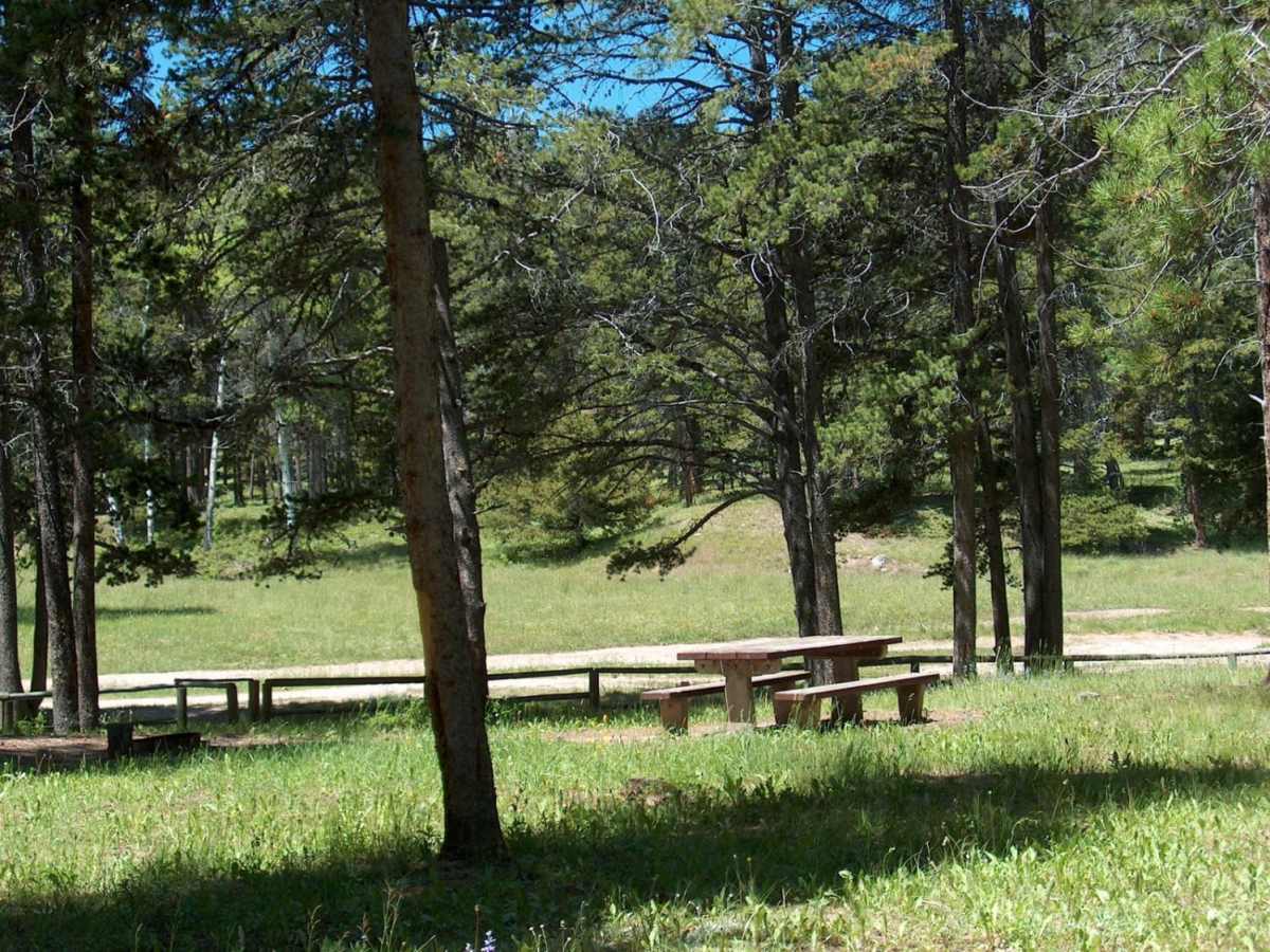
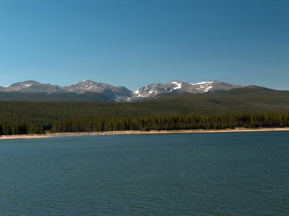
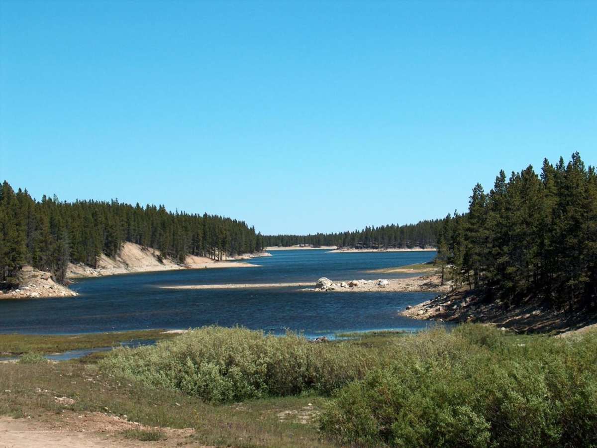
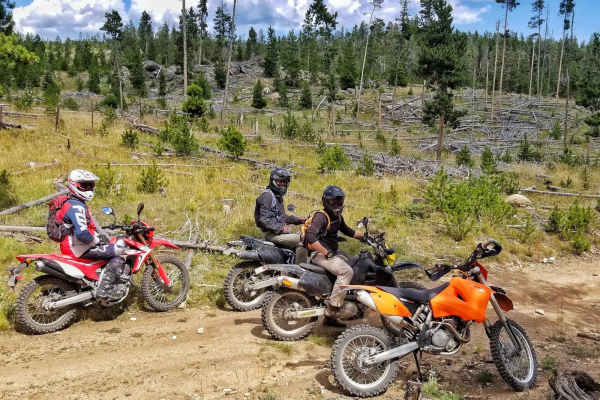
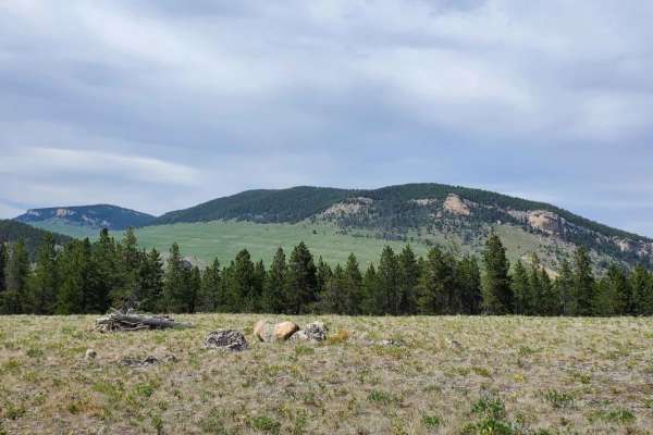
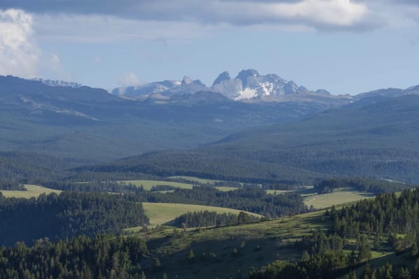
This scenic 15.3-mile route in the Bighorn Mountains is perfect for intermediate offroaders seeking a mix of dense evergreen forests, open meadows, and challenging mountain terrain. Starting at an elevation of 6,929 feet and climbing to a peak of 8,850 feet, this trail offers a cumulative elevation gain of over 2,180 feet, making it both a beautiful and moderately demanding drive. High-clearance four-wheel-drive vehicles, SxSs, and ATVs will navigate a primary surface of dirt, rock, and gravel. The western portion of the loop features a relatively mild path passing by Park Reservoir, which hosts a primitive Forest Service campground and various dispersed camping options. Continuing past Bighorn Reservoir, the track narrows considerably, turning into a rougher, more technical stretch that requires careful tire placement and skid plates to protect against sharp rocks.
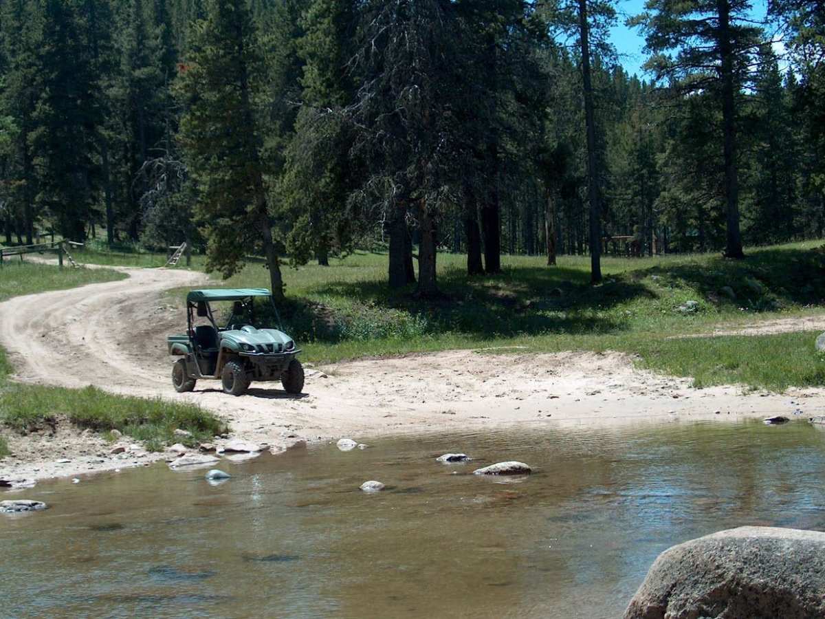
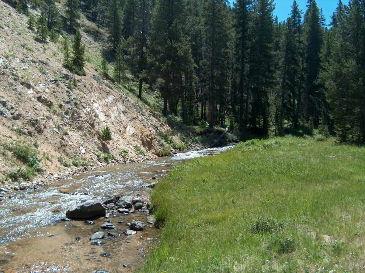
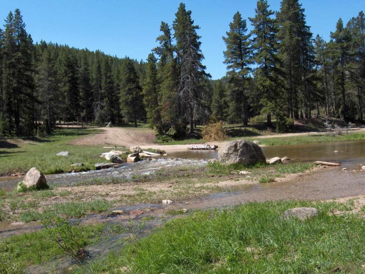
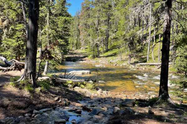
On the eastern side of the loop, the trail burrows through deep timber and wide alpine meadows, presenting multiple creek crossings that can exceed two feet in depth during the spring runoff. Offroaders should watch for signs directing them to Little Goose Falls, a picturesque cascading waterfall accessible by a short foot hike or a challenging, off-camber ATV spur. Drivers should be prepared for off-camber sections, steep grades reaching up to 12 degrees, and muddy patches depending on the season. This route requires a state ORV permit for unlicensed vehicles, and its secondary tracks open up access to over 50 miles of additional motorized trails.
Difficulty
Much of the roadway is fairly easily traveled on an ATV. If driving a full-sized vehicle, you'll want to have above average ground clearance and skid plates for the steep, rocky stretches. There are also a number of fords that can exceed two feet depending on seasonal conditions.

 Offroad