
Dirt Bike Trails
Near Seagate, North Carolina
Explore All Dirt Bike Trails Near Seagate, North Carolina
Dirt Bike Trails Near Seagate, North Carolina
Discover the best dirt bike trails near you. Browse trail maps, check difficulty ratings, and find your next adventure — whether you're looking for a quick ride or an all-day expedition.
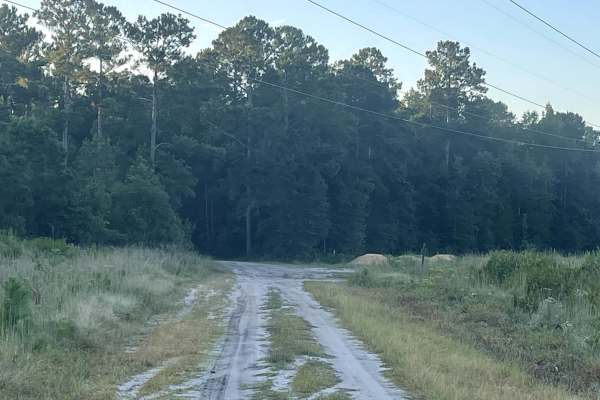
State Route 1553
State Route 1553 is technically an out-and-back trail that provides users with access to a local bike park, making it a great option for those looking to combine a coastal drive with some hiking or mountain biking. The route continues beyond the park’s trailhead, allowing users to follow the state r...
Learn more about State Route 1553
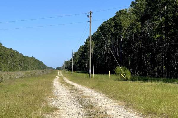
Creek Walker Trail
Creek Walker Trail is an enjoyable out-and-back route that follows alongside the railroad tracks and provides users with a relaxing drive through the area. The trail is generally easy to navigate and is free from major obstacles, making it suitable for most vehicles under normal conditions. Followin...
Learn more about Creek Walker Trail
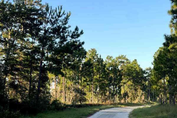
Funston Road
Funston Road is a well-maintained county road that provides users with just over three miles of enjoyable hard-packed dirt and gravel. The trail is free from major obstacles, mud holes, or technical sections, making it suitable for most vehicles under normal conditions. Its relatively smooth surface...
Learn more about Funston Road
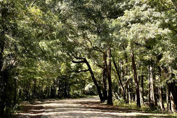
Lee Buck Road
Lee Buck Road is a wonderfully maintained dirt road that takes users through the surrounding coastal landscape and across a scenic swamp area. The trail surface consists primarily of hard-packed silty dirt and is generally smooth and easy to navigate. Lee Buck Road is free from major obstacles, maki...
Learn more about Lee Buck Road
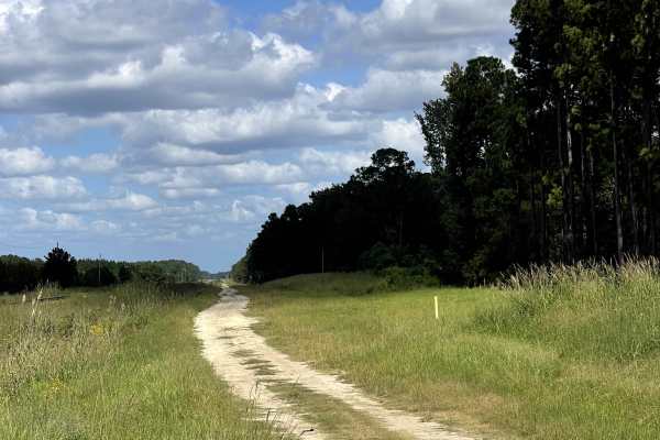
Sidetracks
Sidetracks is a great bidirectional trail that connects users with several neighboring trails, including Governor Road, Lee Buck Road, and Creek Walker. The trail follows a two-track layout and is generally wide enough for vehicles to pull over in designated or wider areas when encountering oncoming...
Learn more about Sidetracks
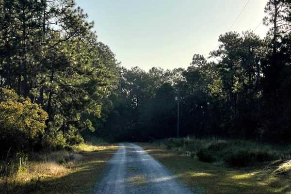
Ranch Road
Ranch Road is a well-maintained, two-lane-wide dirt and gravel road that travels along the border of the Boiling Spring Lakes Preserve. The trail is free from major obstacles and provides an easy, relaxing drive that is suitable for most vehicles under normal conditions. Its wide roadway and maintai...
Learn more about Ranch Road
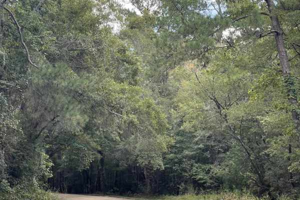
Governor Road
Governor Road is a scenic through trail that begins shortly after the pavement ends and takes users onto a beautiful, well-maintained mixture of sand and dirt. The main trail is wide, smooth, and free from major obstacles or obstructions, making it suitable for most vehicles during normal conditions...
Learn more about Governor Road
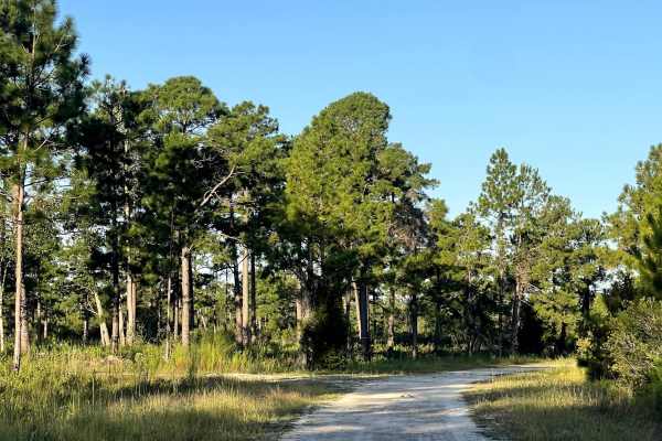
Polaris Road
Polaris Road is a well-maintained, two-lane-wide gravel and dirt county road that follows the border of the Boiling Spring Lakes Preserve. This bi-directional trail loops through the area and pairs well with the neighboring trail network, making it a useful option for users looking to build a longer...
Learn more about Polaris Road
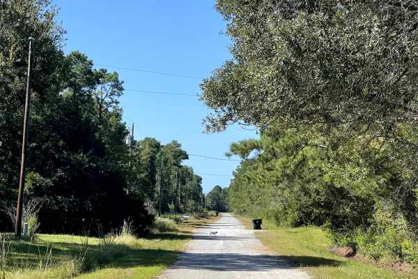
Beech Road
Beech Road is similar to several of the other trails in the surrounding coastal North Carolina network and features a mixture of maintained and overgrown two-track. The maintained portions are relatively easy to navigate, with good visibility of the trail surface and any potential obstacles ahead. A...
Learn more about Beech Road
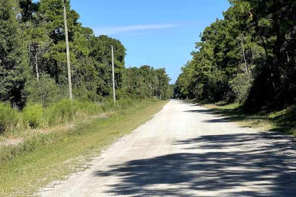
Redwood Road
Redwood Road is similar to nearby Juniper Road and provides users with a wide, well-maintained route through the surrounding coastal North Carolina trail network. The trail consists primarily of maintained hard-packed dirt and is approximately two lanes wide, allowing plenty of room for vehicles to ...
Learn more about Redwood Road
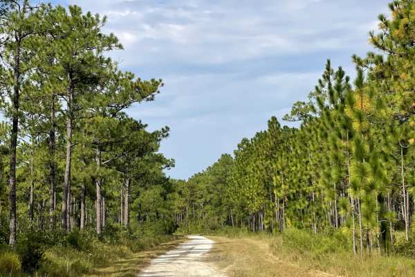
Trumpster Road
Trumpster Road is a well-maintained route that provides users with another easy opportunity to explore the surrounding trail network. The road remains approximately two lanes wide throughout much of its length, providing plenty of room for vehicles to comfortably navigate the route and pass other us...
Learn more about Trumpster Road

Tram Road
Tram Road is a long, well-maintained route that provides users with an easy and enjoyable drive through the surrounding area. The trail remains approximately two lanes wide throughout much of its length, providing plenty of room for vehicles to comfortably navigate the route. The surface is generall...
Learn more about Tram Road
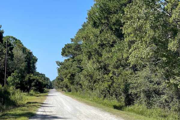
Juniper Road
Juniper Road is similar to many of the other trails in the surrounding coastal North Carolina network, although this route is maintained throughout its entire length. The trail consists primarily of hard-packed dirt and remains approximately two lanes wide, providing plenty of room for vehicles to t...
Learn more about Juniper Road
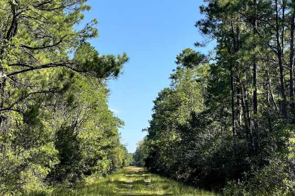
Robin Road
Robin Road is another overgrown two-track trail in the area and is very similar in overall conditions to nearby Drake Road. Unlike Drake Road, Robin Road follows a relatively straight path, making navigation simple and allowing users to enjoy an easy addition to a longer afternoon of exploring the s...
Learn more about Robin Road
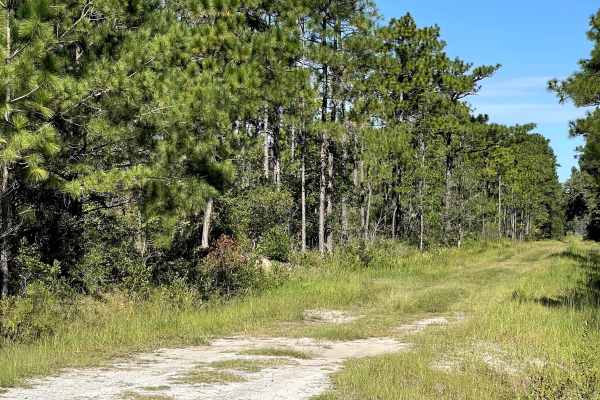
Drake Road
Drake Road is another trail that users can loop together with nearby routes to create an enjoyable afternoon of wheeling and exploring coastal North Carolina. This trail is primarily an overgrown two-track and does not appear to receive the same level of maintenance as some of the surrounding roads....
Learn more about Drake Road
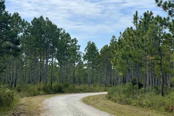
MST 14
MST 14 is another well-maintained route that provides users with continued access to the surrounding state game lands and the extensive network of trails found throughout the area. The trail consists primarily of hard-packed gravel and remains approximately two lanes wide, providing plenty of room f...
Learn more about MST 14
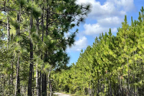
Goose Pond Road
Goose Pond Road is a fun coastal trail that branches off Royal Oak near the local gun club. The trail surface consists of a mixture of loose sand and hard-packed sand, providing users with a more traditional coastal North Carolina off-road experience. During periods of dry weather, the trail is rela...
Learn more about Goose Pond Road
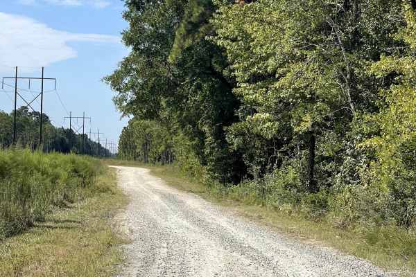
MST 12
This trail serves as an important access route for users traveling to or from the surrounding state game lands trail network. Depending on the direction of travel, users can follow the route toward the main road in Topsail, North Carolina, or use it as the southern entrance into the game lands and b...
Learn more about MST 12
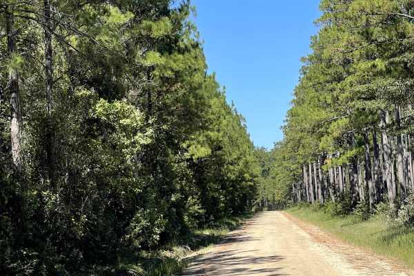
Royal Oak
Royal Oak is a wonderful hard-packed sand and dirt trail that gives users the opportunity to explore the sandy terrain characteristic of coastal North Carolina. The trail is free of major obstacles and should be suitable for most vehicles under normal conditions. Its combination of hard-packed dirt ...
Learn more about Royal Oak
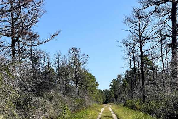
Camelia Road
Camelia Road is accessed from Bordeaux Lane and offers users a mixture of groomed and overgrown two-track trail. Along the groomed sections, visibility is generally good, making it easy to identify approaching obstacles such as mud holes and standing water. The overgrown sections require considerabl...
Learn more about Camelia Road
ATV trails near Seagate, North Carolina
Explore ATV-friendly trails near you. These trails are accessible for vehicles up to 50 inches wide, perfect for ATVs and smaller off-road machines.
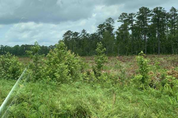
Holston Hunter Trail
This easy off-road trail is located on the western side of the Croatan National Forest. Obstacles include a few potholes, and the trail is mostly gravel. There is one small muddy area that might be trouble for low-clearance vehicles after heavy rains. There is also a water crossing, but it has a con...
Learn more about Holston Hunter Trail
UTV/side-by-side trails near Seagate, North Carolina
Find UTV and side-by-side trails near you. These trails accommodate vehicles up to 60 inches wide, ideal for UTVs, side-by-sides, and wider off-road rigs.
Holston Hunter Trail
This easy off-road trail is located on the western side of the Croatan National Forest. Obstacles include a few potholes, and the trail is mostly gravel. There is one small muddy area that might be trouble for low-clearance vehicles after heavy rains. There is also a water crossing, but it has a con...
Learn more about Holston Hunter Trail
The onX Offroad Difference
onX Offroad combines trail photos, descriptions, difficulty ratings, width restrictions, seasonality, and more in a user-friendly interface. Available on all devices, with offline access and full compatibility with CarPlay and Android Auto. Discover what you're missing today!
Open Trail Map