State Route 1553

Total Miles1.2
Technical Rating
1Easy
Best TimeSpring, Summer, Fall, Winter
Trail TypeFull-Width Road
Accessible By
Open Trail Map

Trail Overview

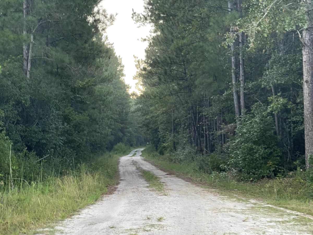
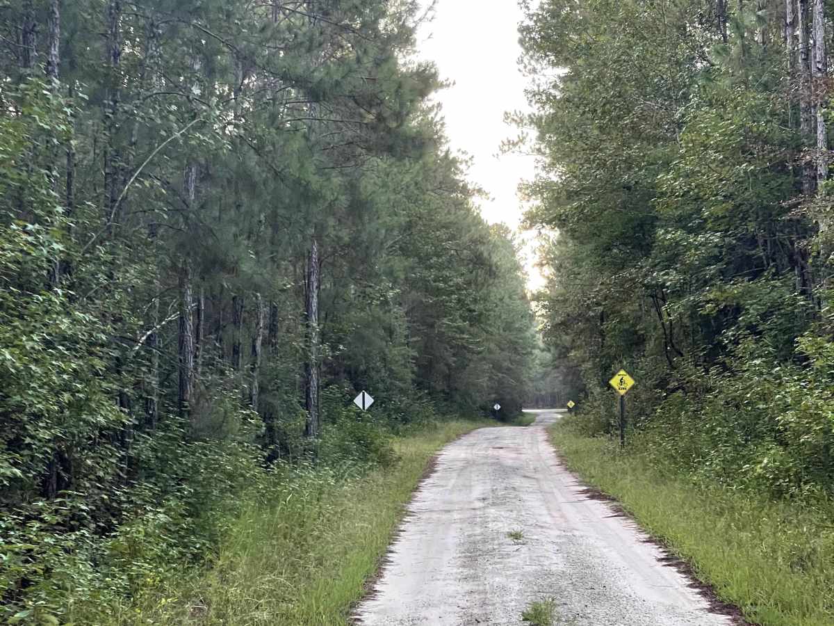
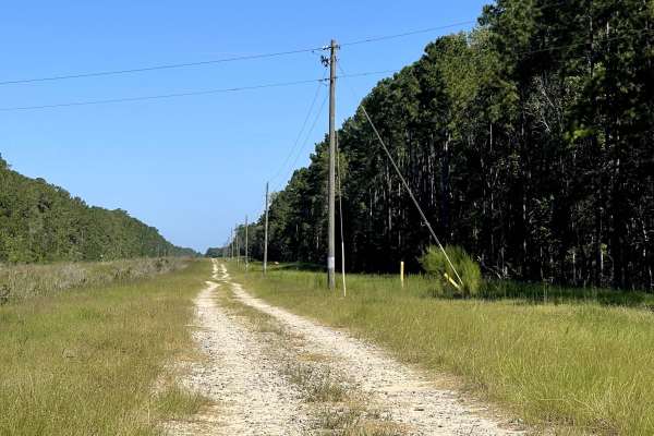
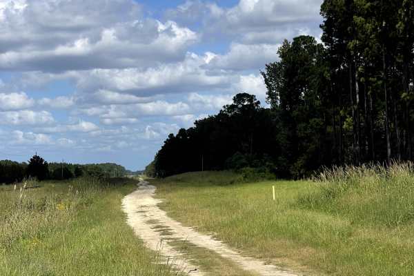
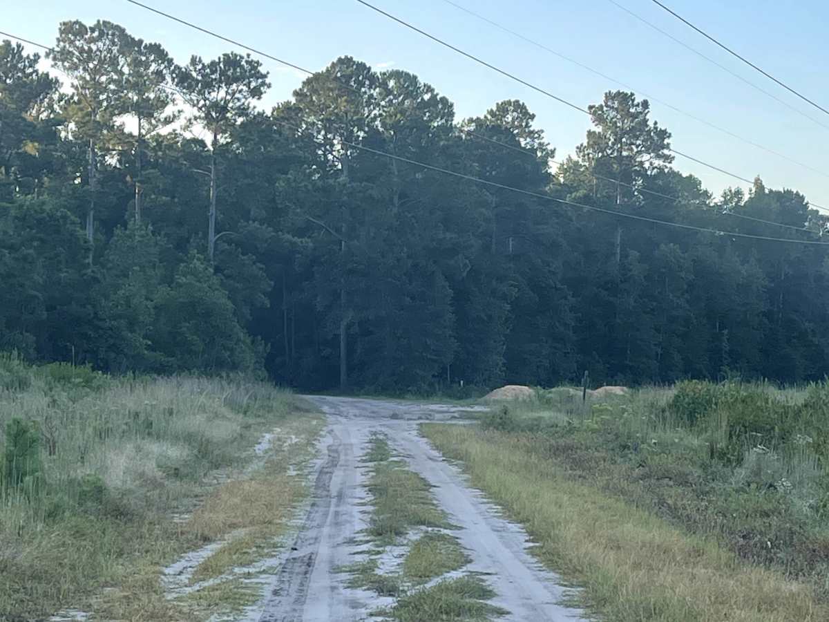
State Route 1553 is technically an out-and-back trail that provides users with access to a local bike park, making it a great option for those looking to combine a coastal drive with some hiking or mountain biking. The route continues beyond the park’s trailhead, allowing users to follow the state route farther into the surrounding area. Eventually, the trail comes to an end beneath a set of high-tension power lines, where a large circular turnaround provides plenty of room to safely turn around before retracing the route. The turnaround also makes for a convenient spot to stop, stretch your legs, and grab a snack before heading back. State Route 1553 is an enjoyable side trip, particularly for users interested in accessing the nearby bike park.

Photos of State Route 1553

Difficulty

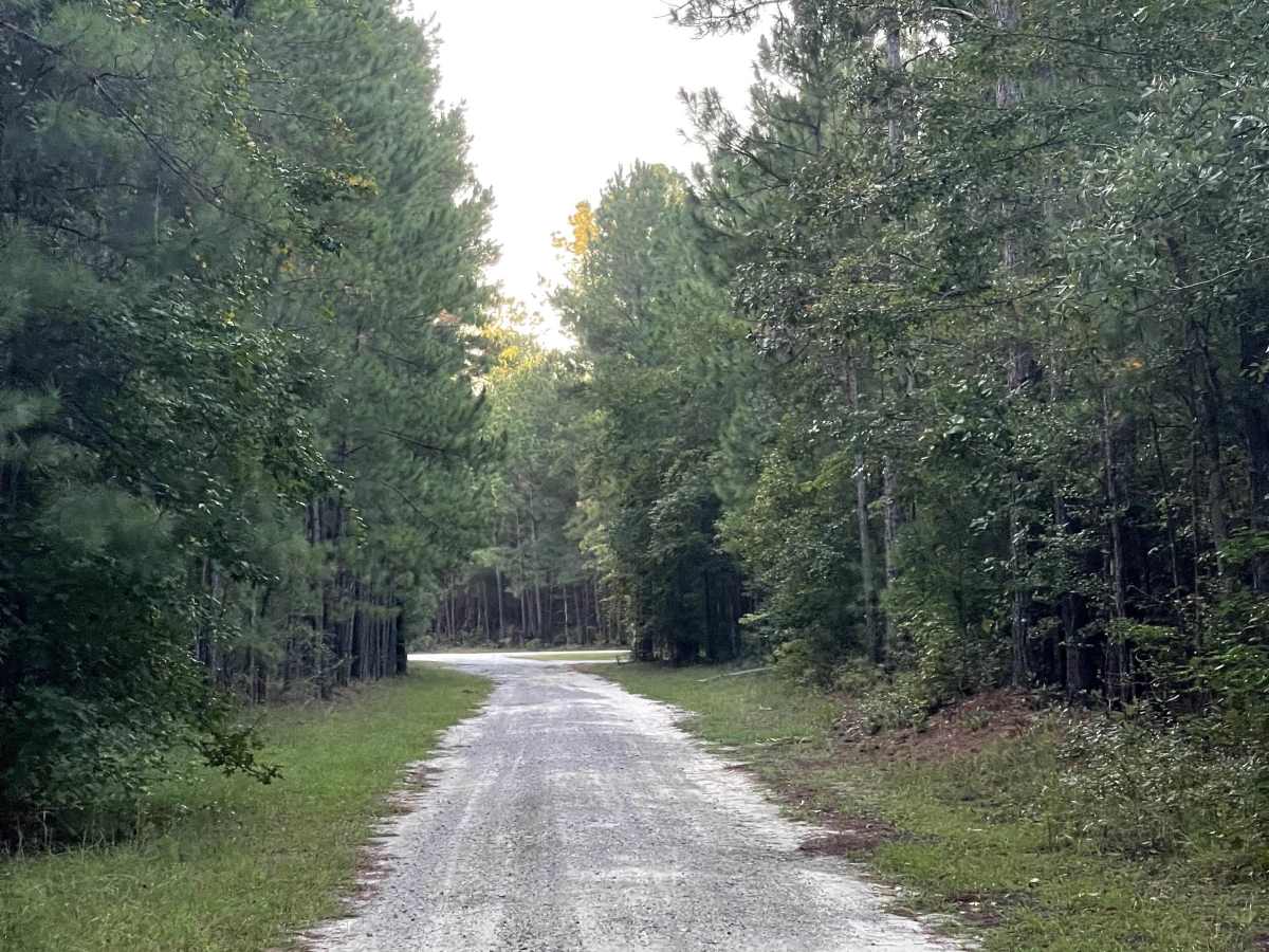
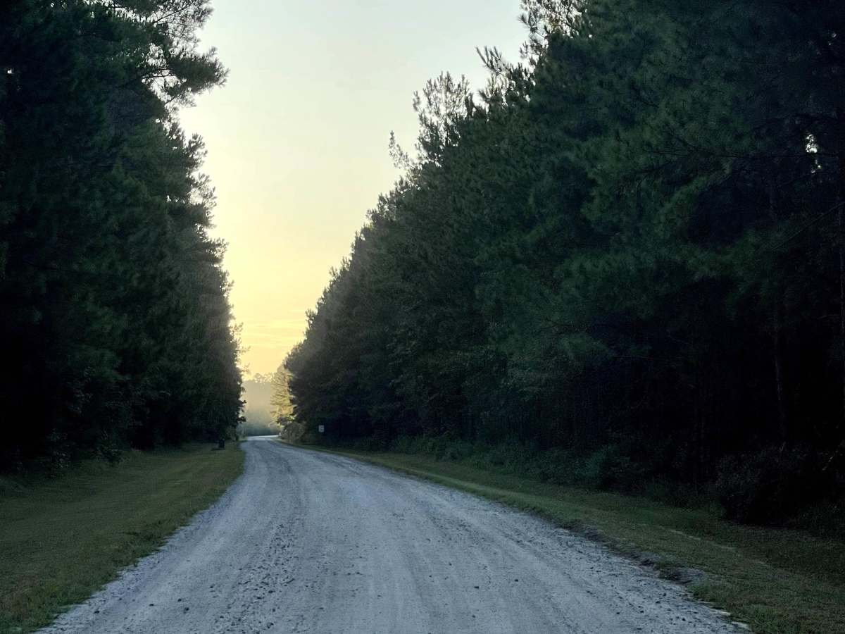
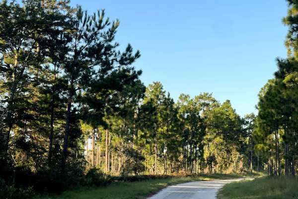
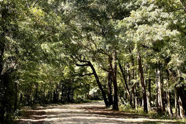
Wide and well-maintained gravel road.

Technical Rating

1

State Route 1553 Trail can be accessed by the following ride types:

  • Single Track
  • High Clearance
  • Full Width

State Route 1553 Map

The onX Offroad Difference

onX Offroad combines trail photos, descriptions, difficulty ratings, width restrictions, seasonality, and more in a user-friendly interface. Available on all devices, with offline access and full compatibility with CarPlay and Android Auto. Discover what you're missing today!

Open Trail Map