
Dirt Bike Trails
Near Running Springs, California
Explore All Dirt Bike Trails Near Running Springs, California
Dirt Bike Trails Near Running Springs, California
Discover the best dirt bike trails near you. Browse trail maps, check difficulty ratings, and find your next adventure — whether you're looking for a quick ride or an all-day expedition.
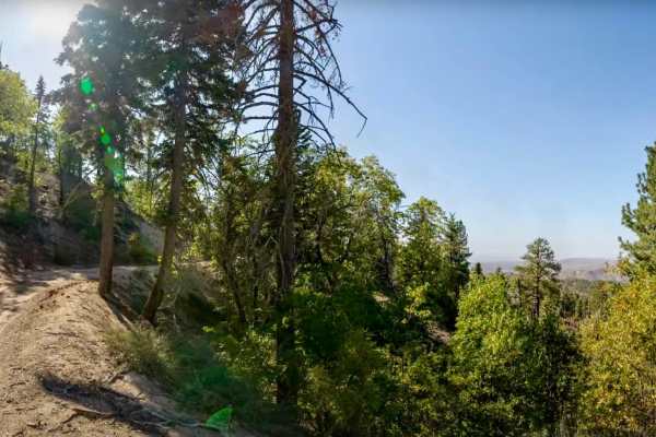
Green Valley Bypass - FS 2N54
Green Valley Bypass (2N54) is a short but scenic forest road that links 3N16 (Holcomb Valley Road) with 2N13 (Snow Slide Road) in the San Bernardino National Forest. At just under 2 miles long, it’s often used as a quick dirt connector, but it’s more than just a shortcut — the trail offers a quiet d...
Learn more about Green Valley Bypass - FS 2N54
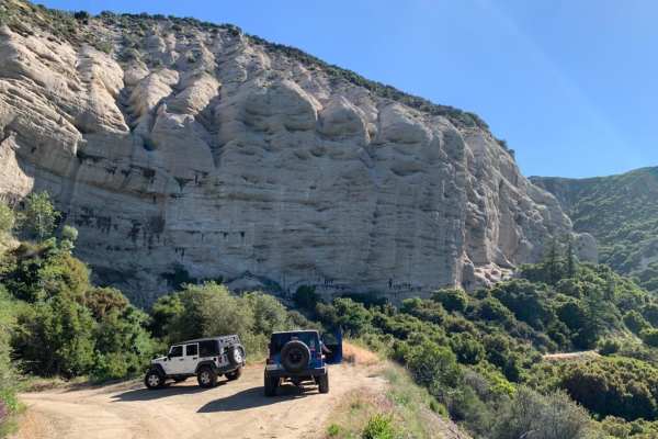
1N09 City Creek Trail
A long overland trail with plenty of recreational activities such as site-specific shooting areas, yellow post campsites and creek crossings. This is a well-maintained dirt road with some minor ruts, rocks and shallow creek crossings. It makes for a great day in the mountains South of Big Bear near ...
Learn more about 1N09 City Creek Trail
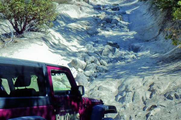
Dishpan Springs
Dishpan Springs is a legendary and highly challenging off-road trail in the San Bernardino National Forest, tailored for experienced drivers with capable, modified vehicles seeking to test their rock crawling skills. Stretching roughly 4.7 miles, this route climbs and descends through rugged mountai...
Learn more about Dishpan Springs
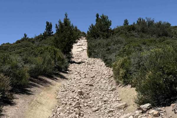
Skyline
Skyline is a difficult route featuring multiple steep, deeply rutted hill climbs with pronounced V-shaped erosion running through the center of the trail. Riders should be prepared for technical terrain, including loose rock and scattered boulders that increase the challenge and require careful line...
Learn more about Skyline
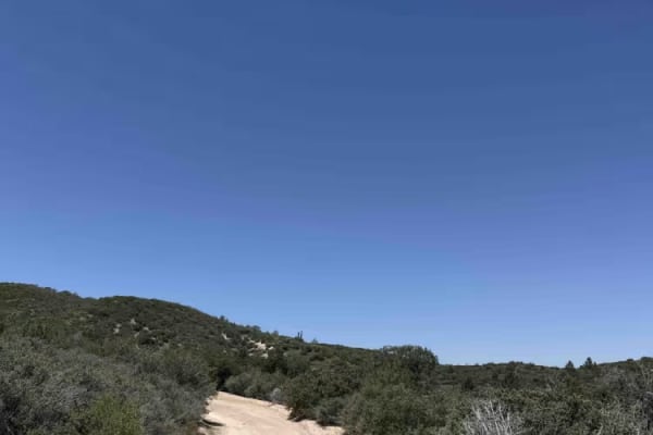
Rouse Ranch
Rouse Ranch is an easy green-rated trail following a mellow dirt road with gentle, winding turns. Riders are treated to expansive views of rolling green hills and relaxed terrain that make this route a good place to slow down and enjoy the scenery.
Expect mostly smooth travel with occasional patches...
Learn more about Rouse Ranch
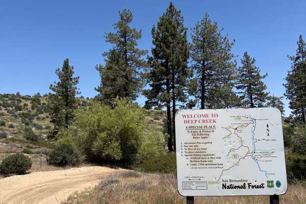
Devils Hole - FS 3N34D
Devils Hole is an easy, flowy hardpack dirt trail with winding turns and opportunities for natural wall rides. Riders can expect a smooth route with a few shallow puddles, occasionally reaching ankle depth, but no major obstacles.
Wildlife is common along the trail, so keep an eye out for snakes and...
Learn more about Devils Hole - FS 3N34D
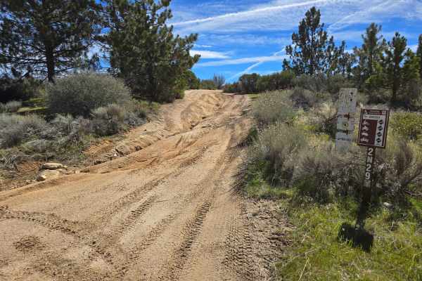
Plantation OHV Road - 2N29Y
2N29Y is an OHV green sticker and street-legal combined-use road. The road ascends from a lower canyon setting in the forest along a ridge line through manzanita and pines. The surface will vary from dirt to loose rocks to exposed bedrock. Off-camber climbing and some V notches will add some excite...
Learn more about Plantation OHV Road - 2N29Y
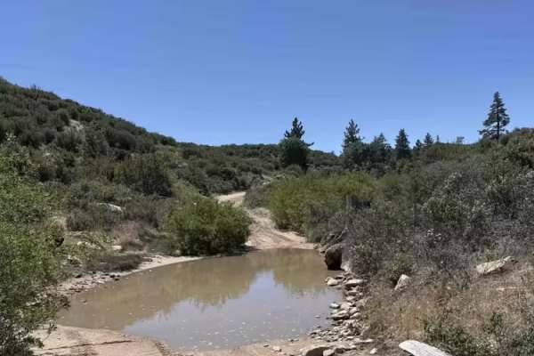
Crab Flats
Crab Flats is a smooth, hardpack dirt road with flowing terrain and minimal technical difficulty. Riders can expect a few shallow water crossings, occasionally reaching shin depth, but otherwise easy travel throughout the route.
Most high-clearance vehicles can navigate this trail, with 2WD typicall...
Learn more about Crab Flats

Alder Creek Road - FSR 1n16
Starting in Highland, 1n16 is a fairly easy dirt road with some parts rutted out, but any 4x4 can make it through the trail easily. Many parts of the trail are single-vehicle wide, but there are plenty of places to pass along the way. Coming from Highland, the trail ends on 1n16, giving you the choi...
Learn more about Alder Creek Road - FSR 1n16
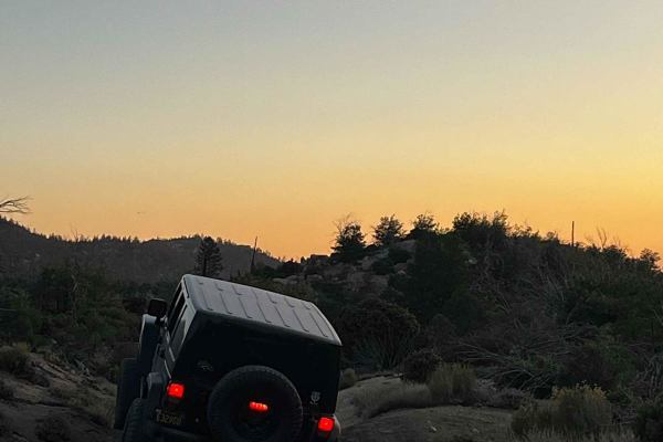
Lower Larga Flats 2N06X
This is a fairly technical trail, but an easier option than the Holcomb Creek (3N93) rock garden that would follow when running from east to west. There are plenty of off-camber areas with large rocks all over the trail and constant tests of how much flex your vehicle has. This is rated as a Black D...
Learn more about Lower Larga Flats 2N06X
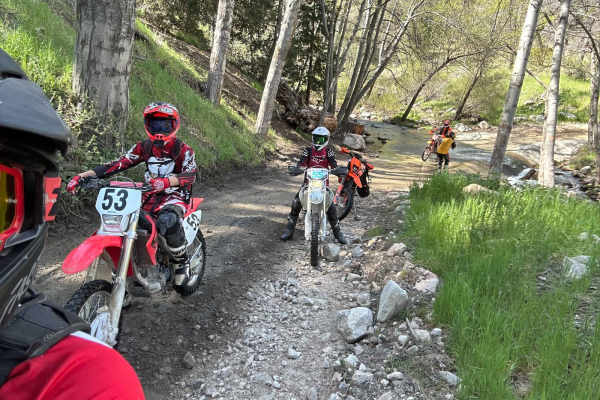
Arrowhead North Loop
This is a fun loop on the north side of Lake Arrowhead. Starting at the Crab Flats OHV staging area, this route loops toward the town of Lake Arrowhead and then through the forest north of the lake. Just after leaving the staging area, there are some great views all the way to Big Bear Mountain. Con...
Learn more about Arrowhead North Loop
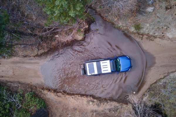
Santa Ana Divide - FS 2N11
Santa Ana Divide (FS 2N11) is a scenic forest ridgeline route just outside Big Bear Lake within the San Bernardino National Forest. The trail offers a relaxed dirt drive through tall pines with occasional openings that reveal surrounding mountain views. The route is mostly smooth and easy to follow,...
Learn more about Santa Ana Divide - FS 2N11
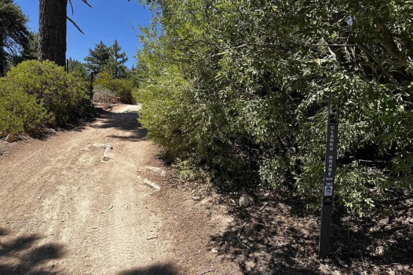
Clark's Grade - FS 1N54
Clarks Grade is an off-road trail in the San Bernardino National Forest. Driving this trail is a journey back to the origins of the Big Bear Lake area since this was one of the first roads into Big Bear. It is a narrow shelf road for most of the way, with few spots to pass. The trail starts down at ...
Learn more about Clark's Grade - FS 1N54
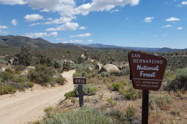
Grapevine Canyon - FS 4N16
This is a point-to-point single-vehicle-width trail that can be combined with nearby trails to form a loop route across a scenic vista area. Occasional turnouts and wider stretches to allow vehicles to pass are present in the southern half of the trail, but the northern half is relatively narrow wit...
Learn more about Grapevine Canyon - FS 4N16
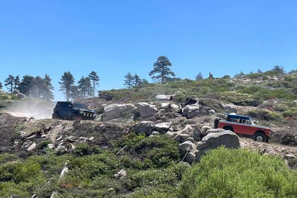
Snow Slide - FS2N13
Freshly reopened after years of closure for restoration, Snow Slide Trail (FS 2N13) is once again welcoming off-road enthusiasts into one of the most scenic corners of the Big Bear area. Tucked away in the San Bernardino National Forest, this trail has quickly reclaimed its reputation as a quiet esc...
Learn more about Snow Slide - FS2N13
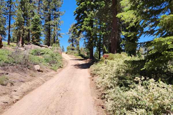
Camp Osito - FS 2N17
Running along the southern ridgeline above Big Bear Lake, Camp Osito Road (FS 2N17) is part of the broader Skyline Drive trail system, offering some of the most panoramic views in the San Bernardino National Forest. It connects directly with Mill Creek Road (FS 2N10) to the west and Knickerbocker Ro...
Learn more about Camp Osito - FS 2N17
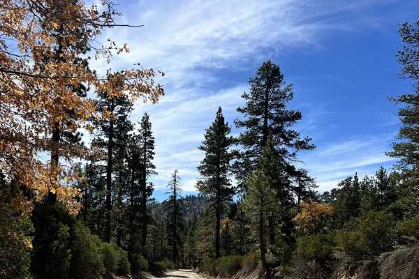
Coxey Road - FS 3N14
Coxey Road (3N14) is a long Forest Service connector route running from the north side of Big Bear Lake near Fawnskin all the way northwest to Lucerne Valley, where it terminates at Bowen Ranch Road. Starting near the lakeside forest communities, the road climbs through dense pine stands, passing ac...
Learn more about Coxey Road - FS 3N14
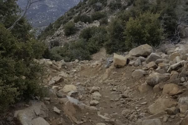
Redonda Ridge - FS 1W17
This is a point-to-point single-track trail that runs along the ridgeline of Redonda and Hawes Peaks, providing spectacular views of the Holcomb Valley area. Once you enter the trail below 3N14 (Coxey Rd) on the north end or at Crab Flats on the south end, there are no alternate exits or bypasses. T...
Learn more about Redonda Ridge - FS 1W17
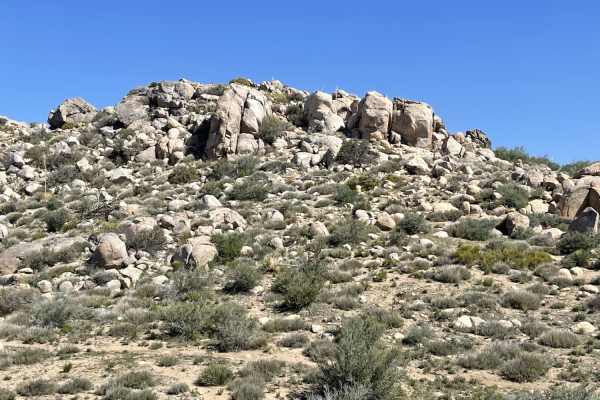
Luna Mountain Crossover
This challenging section of trail has outstanding views. There are steep bouldery shelves that are incredibly rutted out, hill climbs and descents, access to hiking trails, and single-track routes and challenges. This trail will test even a seasoned rider with off-camber sections, loose steep hills,...
Learn more about Luna Mountain Crossover
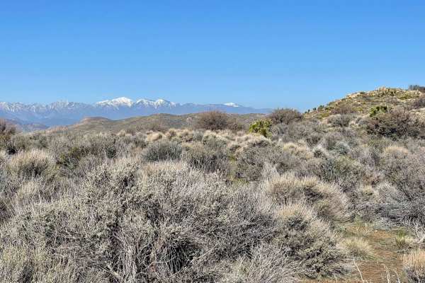
ST 2W16 MOTO
This Single Track Moto trail is an enjoyable, easy route. It is also an excellent Moto-only cutover trail for the White Mountain 4x4 route. There are plenty of Joshua Trees to see and stunning lumpy rock formations. The trail starts out a little moon dusty with some moderate-sized whoops, then veers...
Learn more about ST 2W16 MOTO
ATV trails near Running Springs, California
Explore ATV-friendly trails near you. These trails are accessible for vehicles up to 50 inches wide, perfect for ATVs and smaller off-road machines.
Green Valley Bypass - FS 2N54
Green Valley Bypass (2N54) is a short but scenic forest road that links 3N16 (Holcomb Valley Road) with 2N13 (Snow Slide Road) in the San Bernardino National Forest. At just under 2 miles long, it’s often used as a quick dirt connector, but it’s more than just a shortcut — the trail offers a quiet d...
Learn more about Green Valley Bypass - FS 2N54
Dishpan Springs
Dishpan Springs is a legendary and highly challenging off-road trail in the San Bernardino National Forest, tailored for experienced drivers with capable, modified vehicles seeking to test their rock crawling skills. Stretching roughly 4.7 miles, this route climbs and descends through rugged mountai...
Learn more about Dishpan Springs
Skyline
Skyline is a difficult route featuring multiple steep, deeply rutted hill climbs with pronounced V-shaped erosion running through the center of the trail. Riders should be prepared for technical terrain, including loose rock and scattered boulders that increase the challenge and require careful line...
Learn more about Skyline
Rouse Ranch
Rouse Ranch is an easy green-rated trail following a mellow dirt road with gentle, winding turns. Riders are treated to expansive views of rolling green hills and relaxed terrain that make this route a good place to slow down and enjoy the scenery.
Expect mostly smooth travel with occasional patches...
Learn more about Rouse Ranch
UTV/side-by-side trails near Running Springs, California
Find UTV and side-by-side trails near you. These trails accommodate vehicles up to 60 inches wide, ideal for UTVs, side-by-sides, and wider off-road rigs.
Green Valley Bypass - FS 2N54
Green Valley Bypass (2N54) is a short but scenic forest road that links 3N16 (Holcomb Valley Road) with 2N13 (Snow Slide Road) in the San Bernardino National Forest. At just under 2 miles long, it’s often used as a quick dirt connector, but it’s more than just a shortcut — the trail offers a quiet d...
Learn more about Green Valley Bypass - FS 2N54
Dishpan Springs
Dishpan Springs is a legendary and highly challenging off-road trail in the San Bernardino National Forest, tailored for experienced drivers with capable, modified vehicles seeking to test their rock crawling skills. Stretching roughly 4.7 miles, this route climbs and descends through rugged mountai...
Learn more about Dishpan Springs
Skyline
Skyline is a difficult route featuring multiple steep, deeply rutted hill climbs with pronounced V-shaped erosion running through the center of the trail. Riders should be prepared for technical terrain, including loose rock and scattered boulders that increase the challenge and require careful line...
Learn more about Skyline
Rouse Ranch
Rouse Ranch is an easy green-rated trail following a mellow dirt road with gentle, winding turns. Riders are treated to expansive views of rolling green hills and relaxed terrain that make this route a good place to slow down and enjoy the scenery.
Expect mostly smooth travel with occasional patches...
Learn more about Rouse Ranch
The onX Offroad Difference
onX Offroad combines trail photos, descriptions, difficulty ratings, width restrictions, seasonality, and more in a user-friendly interface. Available on all devices, with offline access and full compatibility with CarPlay and Android Auto. Discover what you're missing today!
Open Trail Map