
Dirt Bike Trails
Near Robbins, Tennessee
Explore All Dirt Bike Trails Near Robbins, Tennessee
Dirt Bike Trails Near Robbins, Tennessee
Discover the best dirt bike trails near you. Browse trail maps, check difficulty ratings, and find your next adventure — whether you're looking for a quick ride or an all-day expedition.
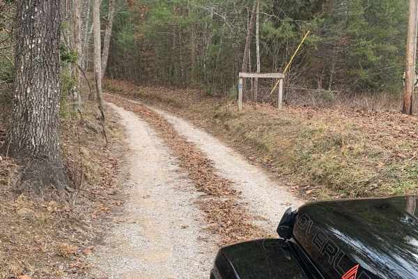
Bandy Creek Trek
This is a combination of dirt, gravel, and single-track in-the-woods roads. There really aren't a lot of difficult obstacles to make a note of other than a few areas that are washed out on Duncan Hollow Road. We had cell service off and on during this drive (Verizon). There weren't any great views a...
Learn more about Bandy Creek Trek
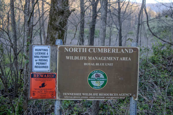
Montgomery Road
Montgomery Road is a maintained gravel road connecting the paved roads in the riding area. It starts off Norma Road and leads up to Log Road 1, where it connects. There is a staging area large enough to turn around or stop with a truck and trailer, and drop off an ATV to use in the riding area. The ...
Learn more about Montgomery Road
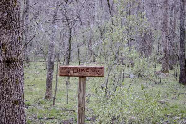
Lowe Cemetary Road
Lowe Cemetery Road is an in-and-out trail consisting mostly of dirt and gravel. The trail has several narrow sections where passing can be difficult, although there are occasional wider areas that allow vehicles to get around each other.
Multiple creek crossings along the trail can become deep depen...
Learn more about Lowe Cemetary Road
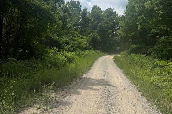
Long Pit Road
This is a connector trail that runs from Massengale Mountain over to Smoky Junction. It is a simple gravel road with the potential for good scenery if you go when the leaves are down. The highlight of this trail is that it ends at Smoky Junction and the local favorite, Hembree Grocery. At the bottom...
Learn more about Long Pit Road
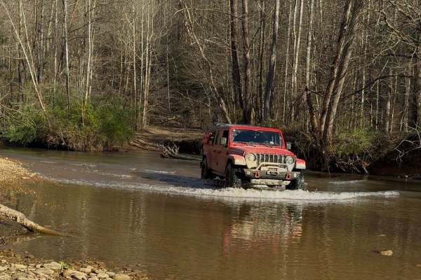
Log Road 1
Log Road 1 is a two-way trail made up mostly of dirt with sections of loose rock throughout. The trail is generally easy to navigate and provides a smooth ride, making it suitable for a wide range of vehicles. There are several scenic spots along the trail where you can safely stop, get out, and exp...
Learn more about Log Road 1
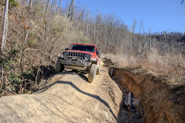
RBS 11
RBS 11 is a two-way trail that connects Log Road 1 to Long Pit Road within the Royal Blue trail system. The trail is primarily dirt and rock, but it presents a noticeable increase in difficulty compared to nearby connector routes. This trail has multiple narrow sections, and depending on the time of...
Learn more about RBS 11
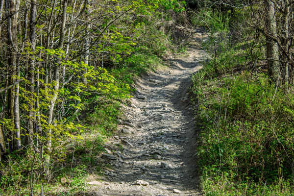
Pipeline Ridge
Pipeline Ridge Trail is a narrow, two-way dirt trail that connects the end of 4 Lane to S7 Trail. This route is a good connector, but it is noticeably tighter and more technical than 4 Lane. There are limited places to pull over and pass, so drivers should stay alert for oncoming traffic and be prep...
Learn more about Pipeline Ridge
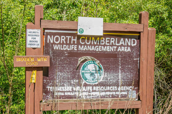
RBW7
RBW 7 is a two-way gravel road that connects off Howard H. Baker Highway and climbs into the mountain area of the Royal Blue Riding Area and North Cumberland Wildlife Management Area.
The road is wide enough for two vehicles to pass in most areas and has several places to pull over, stop, and explo...
Learn more about RBW7
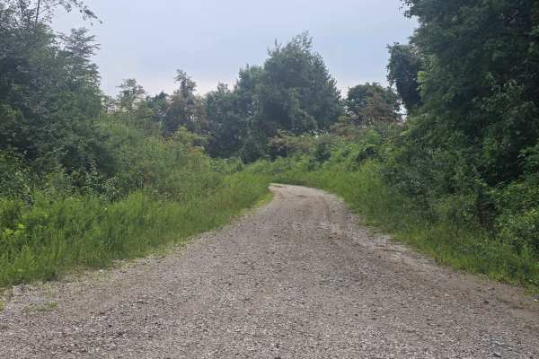
Massingale Mountain Road
This single-lane gravel road is best run from west to east. If you value your paint job this is not the trail for you. The trail is overgrown, the mud holes are hard bottom but can easily be 18 inches or deeper. There is a waterfall, some large washouts, and running water on the trail. There are pul...
Learn more about Massingale Mountain Road
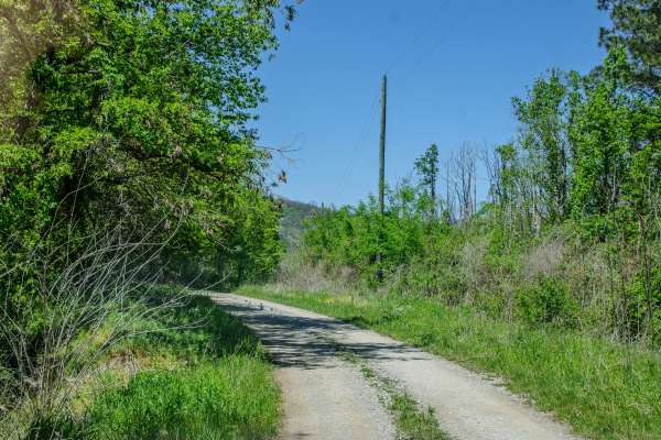
RBW 4
RBW 4 is a two-way gravel road that begins where RBW 7 ends and continues up the mountain toward a gated elk hunting area. This route is wide enough for vehicles to pass in most areas and has no major obstacles along the main road. The gravel surface is generally easy to travel, making this more of ...
Learn more about RBW 4
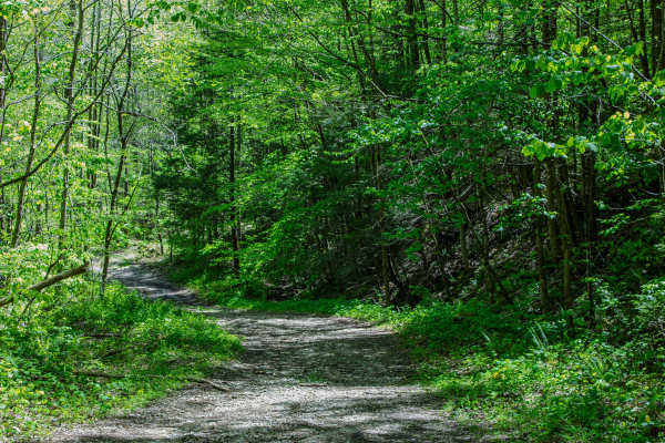
Jake's Branch Road
Jake’s Branch Road is a two-way gravel road that connects from RBS13 to Howard H. Baker Highway. The road is wide and has plenty of room for vehicles to pass, making it one of the easier connector routes in this area. The surface is mostly gravel with a few dips along the way, but there are no serio...
Learn more about Jake's Branch Road
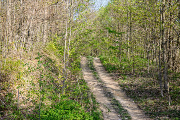
S7
S7 is a short, two-way connector trail that links Pipeline Ridge Trail to S5 Trail. The trail connects near the middle section of S5, giving drivers the option to travel either direction once they reach the end of S7. While it is not a long trail, it is a useful connector for linking routes together...
Learn more about S7
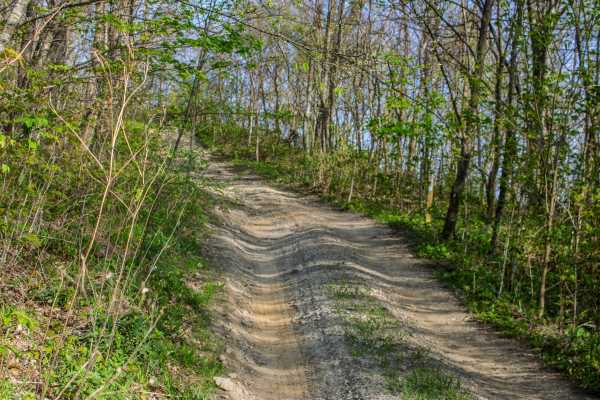
S4
S4 is a two-way trail that connects S5 and S6. The trail is made up mostly of dirt, but it has several sections where mud, standing water, deep ruts, loose rock, and tight trees make it more challenging. There are a few places where vehicles can pull over and pass, but most of the trail is narrow. D...
Learn more about S4
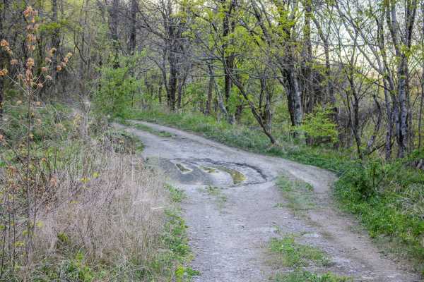
S5
S5 is a two-way trail that connects S6 back to S4 and also provides access to 4 Lane. This trail works well as a primary connector route in the area, giving drivers several options for building a longer loop or moving between nearby trails. The surface is primarily gravel, which makes it more stable...
Learn more about S5
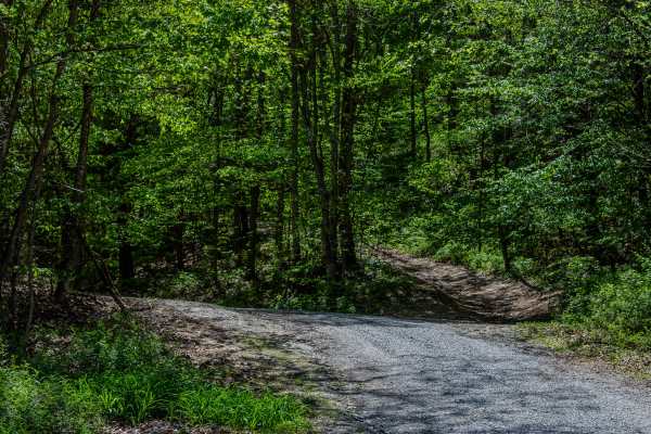
RBS13
RBS13 is a two-way dirt trail that connects Turley Road to Jake’s Branch Road. The trail follows the power line for much of the route, giving it a more open feel in several areas before it briefly turns into the woods and then comes back out into the open. This is a narrow trail with limited places ...
Learn more about RBS13
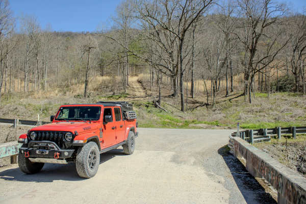
Turley Road
The trail is a two-way route with a mix of dirt, loose rock, and natural terrain features. Drivers can expect steep grades up to 20%, along with sections of loose rock that can make climbs more technical, especially in wet conditions. Water crossings are a key feature, typically reaching up to 12 in...
Learn more about Turley Road
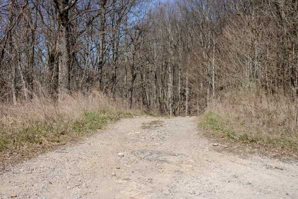
RBS 2
RBS 2 is a connector trail that links the main staging area at the intersection of Grave Gap Trail and Massengale Mountain Trail to Long Pit Road. This is a two-way trail that serves as a key route through this section of the Royal Blue trail system. The trail is primarily dirt and rock, with a gene...
Learn more about RBS 2
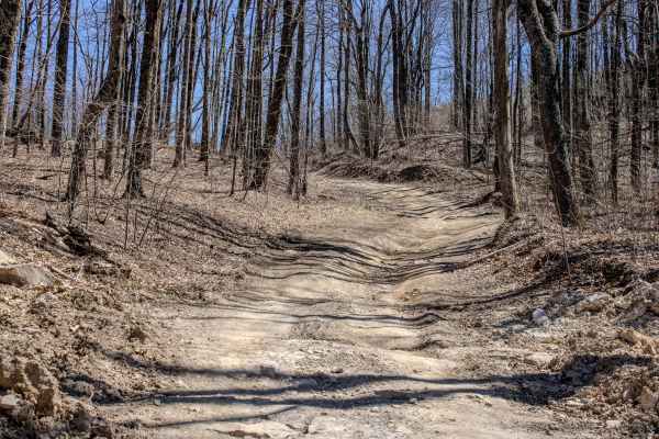
Pine Bald Trail
Pine Bald Trail is a demanding backcountry OHV route intended for experienced riders who are comfortable navigating steep, unmaintained terrain in the Royal Blue Unit of the North Cumberland Wildlife Management Area in Tennessee. Beginning near Wheeler Gap in Campbell County, the trail winds south a...
Learn more about Pine Bald Trail
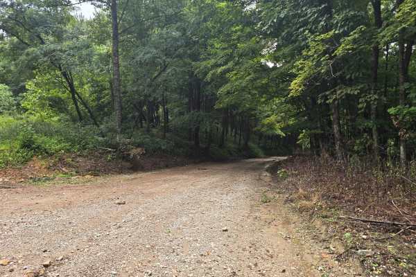
Connector Trail 50
A permit is required for this easy gravel road that takes you to several other parts of the North Cumberland Off-Highway Vehicle Riding Area. This is mostly a single gravel road with plenty of pull-offs and room to pass others. This road is maintained with minimal mud holes or real challenges. Don't...
Learn more about Connector Trail 50
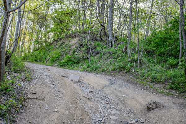
S6
S6 is a two-way dirt trail that connects S2, S4, and S5. This trail works well as a connector route, but it also has enough scenery and small obstacles to make it worth taking your time on. The trail is mostly dirt with several areas where water flows across the trail from nearby springs. These spri...
Learn more about S6
ATV trails near Robbins, Tennessee
Explore ATV-friendly trails near you. These trails are accessible for vehicles up to 50 inches wide, perfect for ATVs and smaller off-road machines.
Bandy Creek Trek
This is a combination of dirt, gravel, and single-track in-the-woods roads. There really aren't a lot of difficult obstacles to make a note of other than a few areas that are washed out on Duncan Hollow Road. We had cell service off and on during this drive (Verizon). There weren't any great views a...
Learn more about Bandy Creek Trek
Montgomery Road
Montgomery Road is a maintained gravel road connecting the paved roads in the riding area. It starts off Norma Road and leads up to Log Road 1, where it connects. There is a staging area large enough to turn around or stop with a truck and trailer, and drop off an ATV to use in the riding area. The ...
Learn more about Montgomery Road
Lowe Cemetary Road
Lowe Cemetery Road is an in-and-out trail consisting mostly of dirt and gravel. The trail has several narrow sections where passing can be difficult, although there are occasional wider areas that allow vehicles to get around each other.
Multiple creek crossings along the trail can become deep depen...
Learn more about Lowe Cemetary Road
Long Pit Road
This is a connector trail that runs from Massengale Mountain over to Smoky Junction. It is a simple gravel road with the potential for good scenery if you go when the leaves are down. The highlight of this trail is that it ends at Smoky Junction and the local favorite, Hembree Grocery. At the bottom...
Learn more about Long Pit Road
UTV/side-by-side trails near Robbins, Tennessee
Find UTV and side-by-side trails near you. These trails accommodate vehicles up to 60 inches wide, ideal for UTVs, side-by-sides, and wider off-road rigs.
Bandy Creek Trek
This is a combination of dirt, gravel, and single-track in-the-woods roads. There really aren't a lot of difficult obstacles to make a note of other than a few areas that are washed out on Duncan Hollow Road. We had cell service off and on during this drive (Verizon). There weren't any great views a...
Learn more about Bandy Creek Trek
Montgomery Road
Montgomery Road is a maintained gravel road connecting the paved roads in the riding area. It starts off Norma Road and leads up to Log Road 1, where it connects. There is a staging area large enough to turn around or stop with a truck and trailer, and drop off an ATV to use in the riding area. The ...
Learn more about Montgomery Road
Lowe Cemetary Road
Lowe Cemetery Road is an in-and-out trail consisting mostly of dirt and gravel. The trail has several narrow sections where passing can be difficult, although there are occasional wider areas that allow vehicles to get around each other.
Multiple creek crossings along the trail can become deep depen...
Learn more about Lowe Cemetary Road
Long Pit Road
This is a connector trail that runs from Massengale Mountain over to Smoky Junction. It is a simple gravel road with the potential for good scenery if you go when the leaves are down. The highlight of this trail is that it ends at Smoky Junction and the local favorite, Hembree Grocery. At the bottom...
Learn more about Long Pit Road
The onX Offroad Difference
onX Offroad combines trail photos, descriptions, difficulty ratings, width restrictions, seasonality, and more in a user-friendly interface. Available on all devices, with offline access and full compatibility with CarPlay and Android Auto. Discover what you're missing today!
Open Trail Map