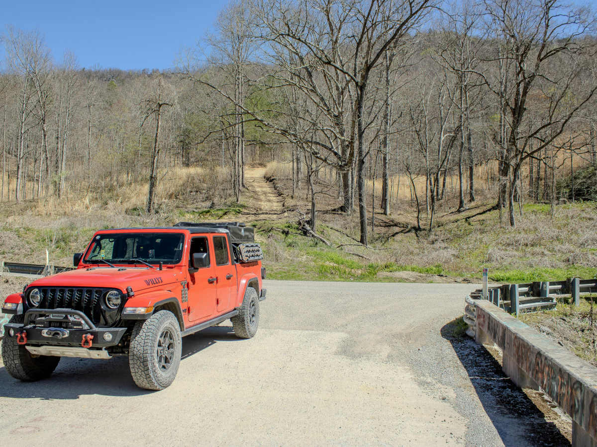
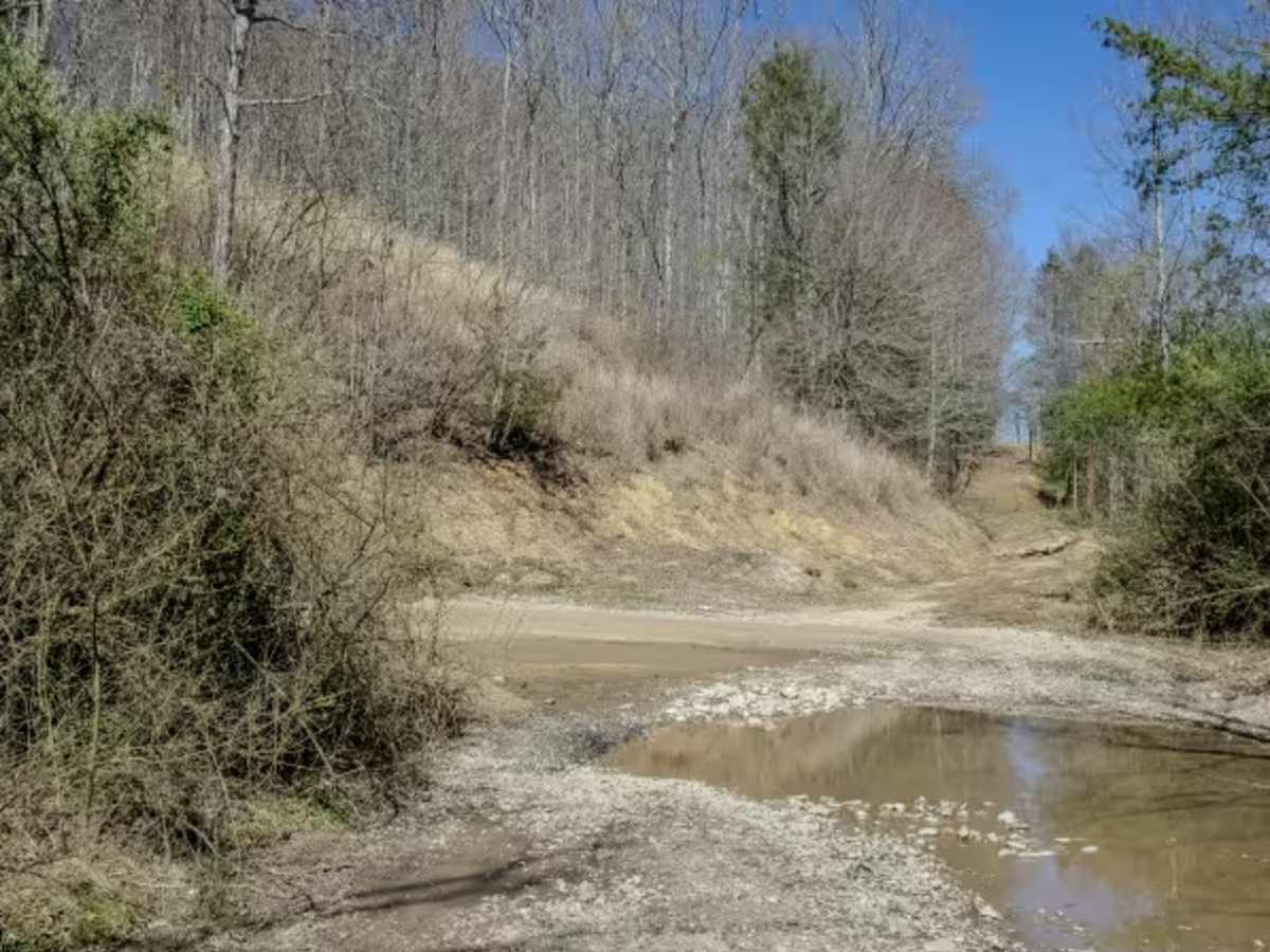
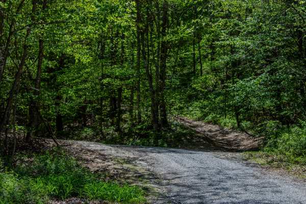
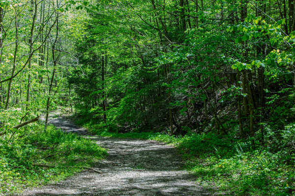
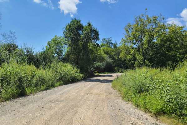
Trail Overview
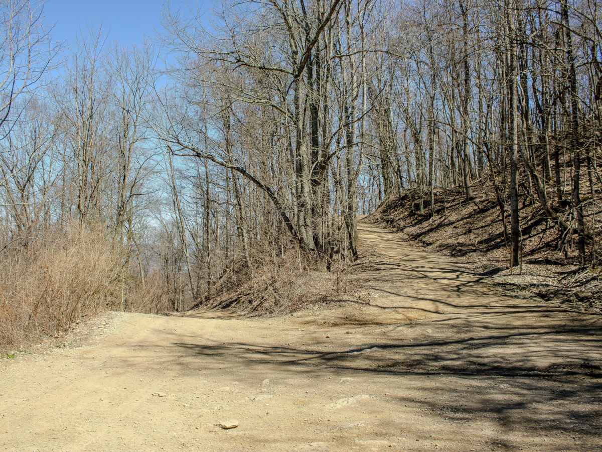
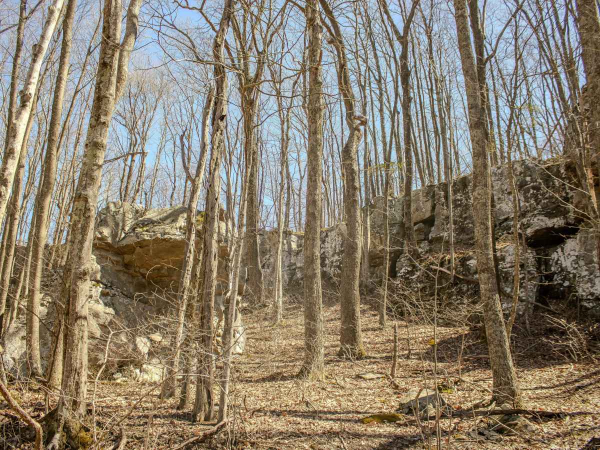
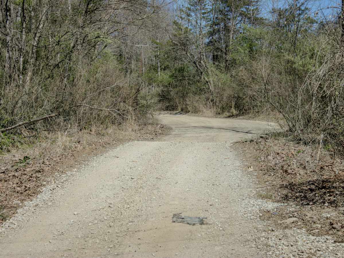
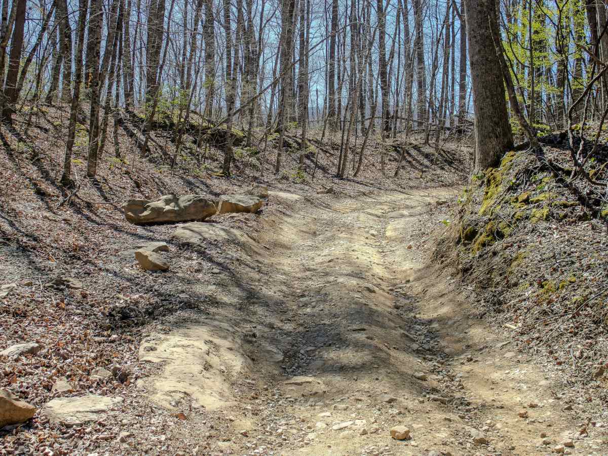
The trail is a two-way route with a mix of dirt, loose rock, and natural terrain features. Drivers can expect steep grades up to 20%, along with sections of loose rock that can make climbs more technical, especially in wet conditions. Water crossings are a key feature, typically reaching up to 12 inches, though levels can temporarily rise after rainfall. Turley Road is a moderate-rated (3/10) connector trail within the Royal Blue Riding Area that links Old Highway 63 to the interior trail system, eventually terminating at Cross Mountain Trail.
Difficulty
Turley Road is rated a 3/10 primarily due to its combination of moderate obstacles rather than any single technical feature. The trail includes steep grades up to 20% that can become more challenging when paired with loose rock, especially on climbs where traction is limited. Water crossings are another factor, typically reaching up to 18 inches, but they can be deeper after rainfall. These crossings are generally straightforward, but drivers should be aware of changing conditions and soft creek bottoms. The trail remains a two-way route, so situational awareness is important when navigating blind sections or narrow areas. While most of the terrain is manageable, the mix of elevation, loose surfaces, and water adds enough variability to require basic off-road experience.