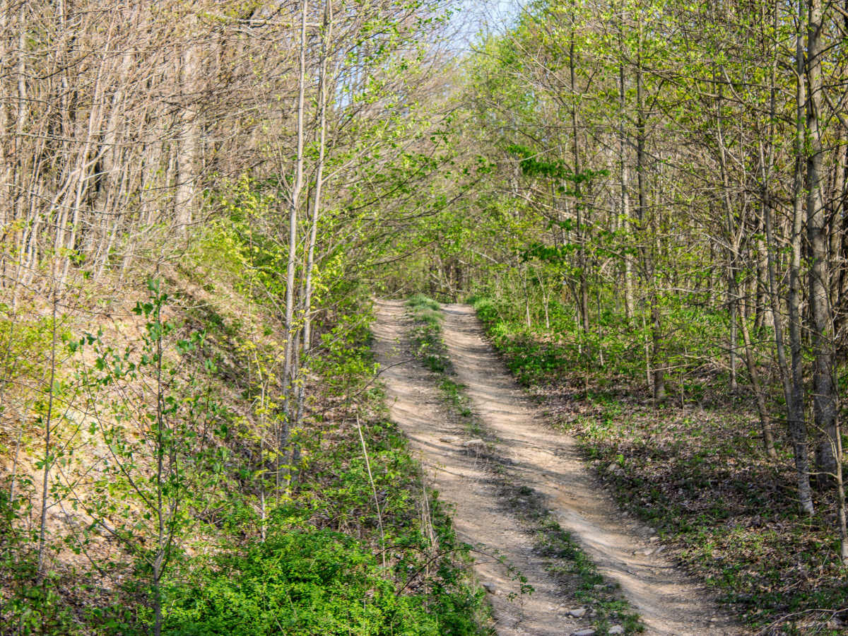
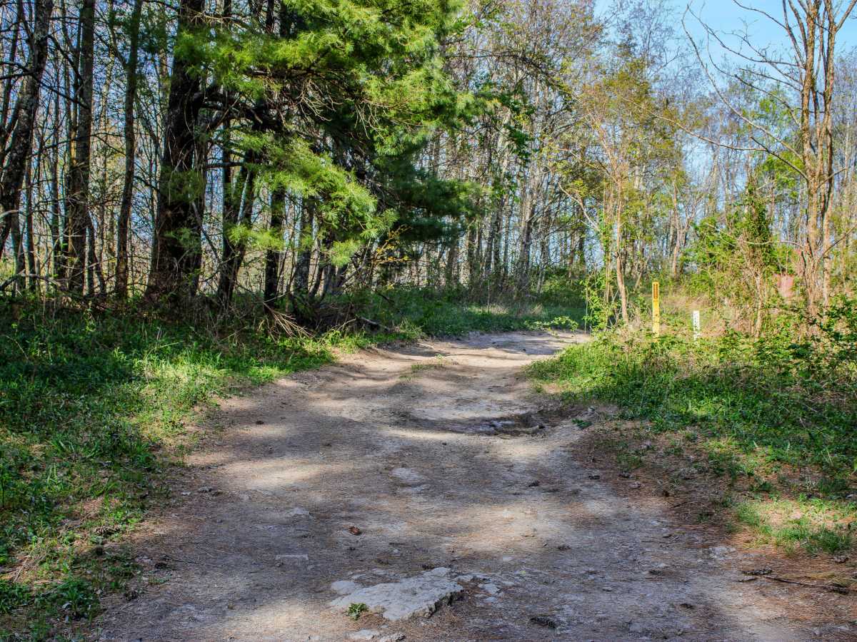
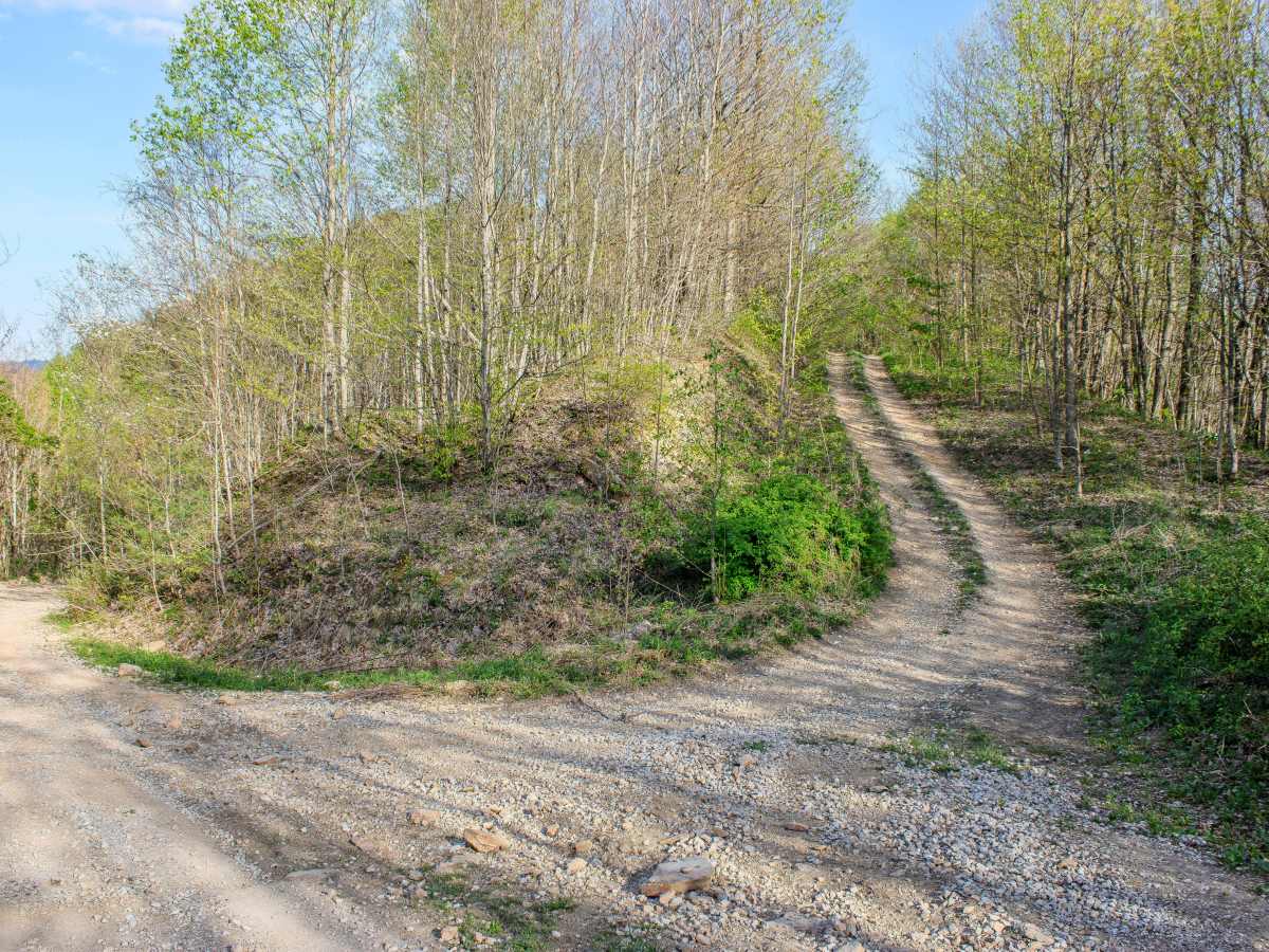
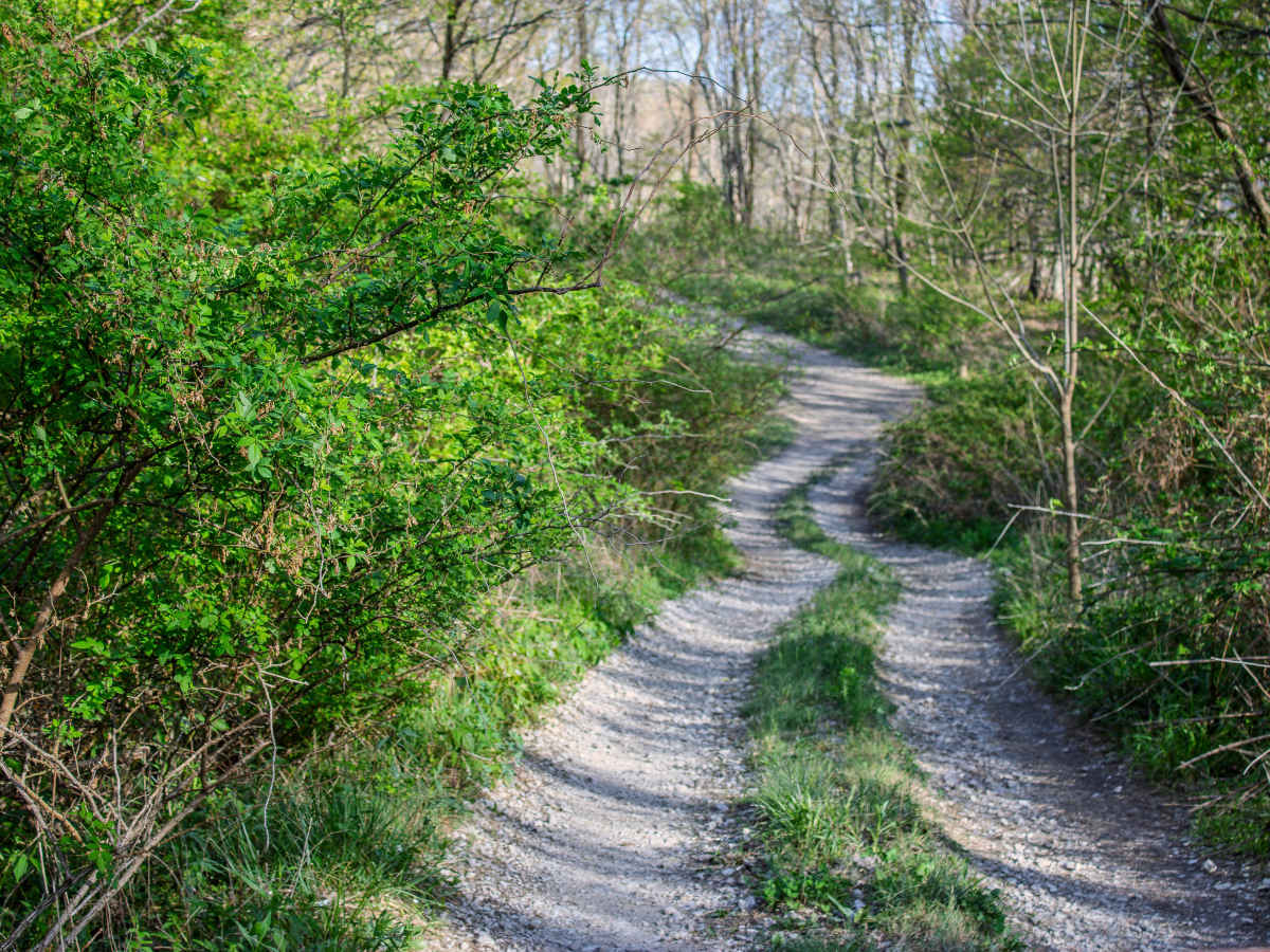
Trail Overview
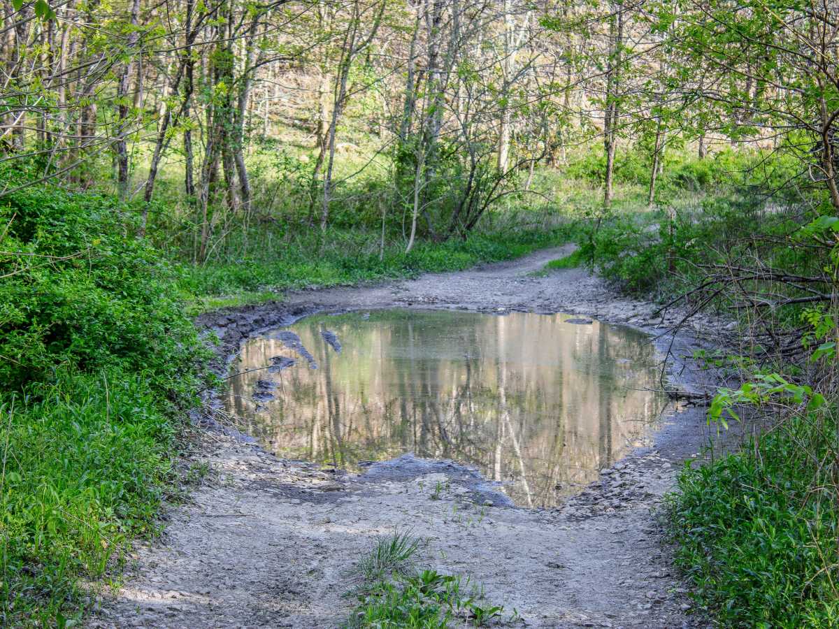
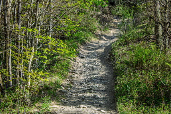
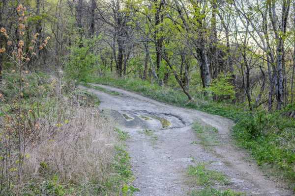
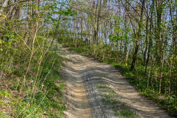
S7 is a short, two-way connector trail that links Pipeline Ridge Trail to S5 Trail. The trail connects near the middle section of S5, giving drivers the option to travel either direction once they reach the end of S7. While it is not a long trail, it is a useful connector for linking routes together in the area. The trail is mostly flat and consists primarily of dirt. There are two areas where water commonly stands on the trail, with depths usually around 8 to 12 inches. These water holes are the main features to watch for, especially after rain, when the depth and softness of the bottom can change. In dry conditions, S7 should be manageable for most high-clearance 4WD vehicles. Drivers should still use caution when entering the standing water, since the base may be soft or uneven.
Difficulty
S7 earns a 3/10 rating because it is mostly flat dirt with limited obstacles. The two standing water areas, which can be around 8 to 12 inches deep, are the primary challenge. The trail does not have steep grades, large rocks, deep ruts, or technical sections based on current trail conditions. Wet weather could make the water holes deeper or slicker, which may slightly increase the difficulty.