Trail Overview
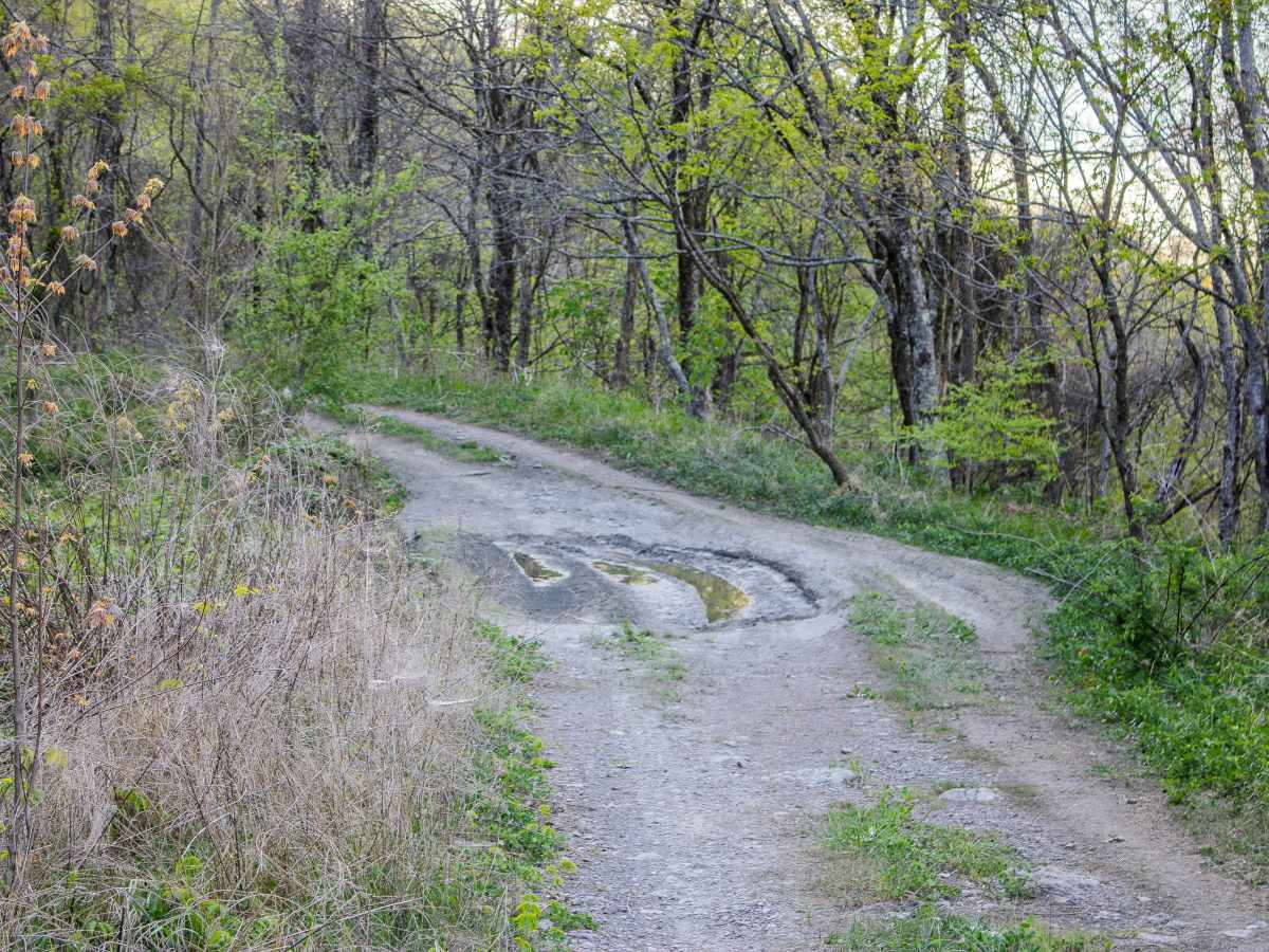
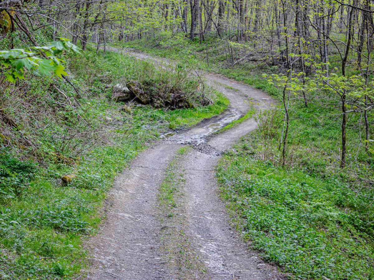
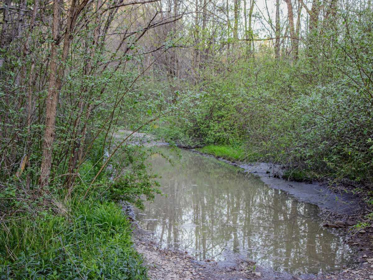
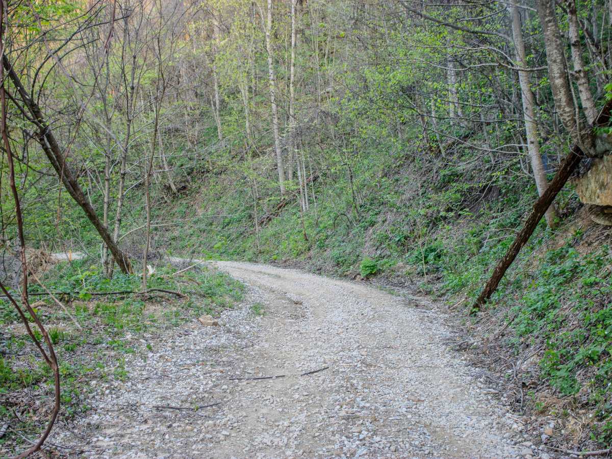
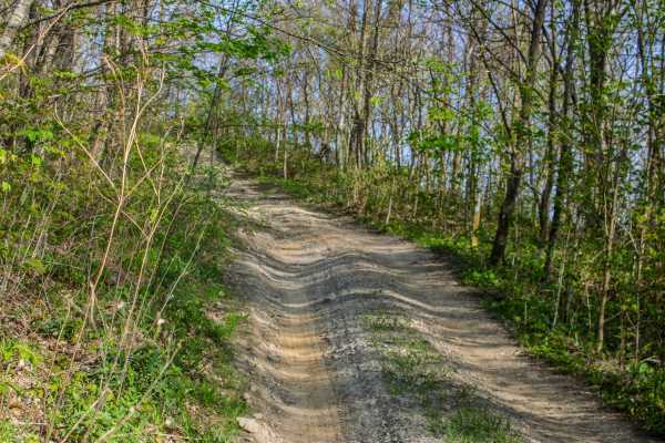
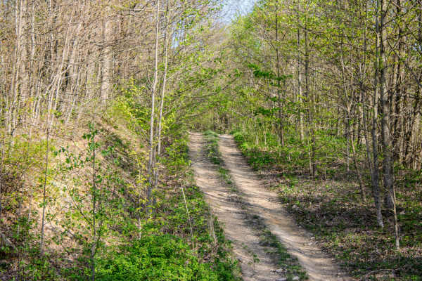
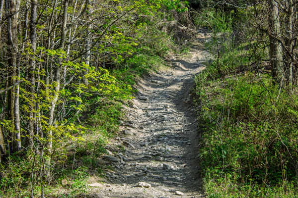
S5 is a two-way trail that connects S6 back to S4 and also provides access to 4 Lane. This trail works well as a primary connector route in the area, giving drivers several options for building a longer loop or moving between nearby trails. The surface is primarily gravel, which makes it more stable than some of the dirt trails nearby, but drivers should still expect changing trail conditions depending on recent weather. Most of S5 is manageable for a high-clearance 4WD vehicle. The gravel surface keeps the trail fairly straightforward, but there may still be areas where loose rock, shallow washouts, or wet spots can affect traction. Since S5 connects several trails, drivers should stay alert for other vehicles traveling in either direction. Passing should be easier than on the tighter trails, but it is still smart to slow down around curves and narrower sections.
Difficulty
S5 earns a 3/10 rating because it is primarily a gravel trail with mostly manageable terrain. The trail does not have major ledges, deep ruts, or steep technical obstacles based on the current description, but loose gravel, changing weather, and connector traffic can still require careful driving. A high-clearance 4WD vehicle is recommended, especially when using S5 as part of a larger route with nearby trails.