
Dirt Bike Trails
Near Pahrump, Nevada
Explore All Dirt Bike Trails Near Pahrump, Nevada
Dirt Bike Trails Near Pahrump, Nevada
Discover the best dirt bike trails near you. Browse trail maps, check difficulty ratings, and find your next adventure — whether you're looking for a quick ride or an all-day expedition.
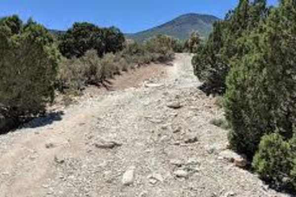
Wheeler Pass
Starting in Cold Creek, the Wheeler Pass trail takes you up and over the Spring Mountains. The trail was the main way to travel from the Indian Springs area to Pahrump in the 1800s. The trail is rough and rocky but passable in a high-clearance 4x4. Fantastic views of the desert floor await as you cl...
Learn more about Wheeler Pass
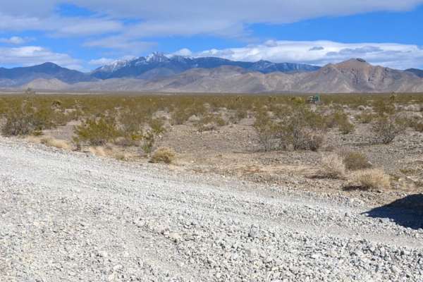
Hughes Cabin-Horse Springs Road
Hughes Cabin-Horse Springs Road is an easy, scenic gravel route perfect for beginners, families, and any high- or low-clearance vehicle looking for a relaxing drive near Pahrump, Nevada. Stretched across approximately 6.2 miles, this wide and well-maintained gravel road steadily climbs 1,586 feet fr...
Learn more about Hughes Cabin-Horse Springs Road

Higley Road/Trail - Powerline Road
This trail starts just outside of a housing development in Pahrump and ends in the foothills (or vice versa). The trail is partially a gravel road nearby the town and becomes a powerline trail shortly after leaving town. The trail is easy peasy and can be traversed by 2WD vehicles under normal weath...
Learn more about Higley Road/Trail - Powerline Road
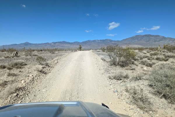
Powerline Trail
This trail continues from Higley Trail in Pahrump farther up into the mountains. We saw several homeless campers with dilapidated RVs and trash everywhere nearby these camps (sad!). There are also lots of weekenders boondocking on BLM land, enjoying responsibly. The trail is narrower than its start...
Learn more about Powerline Trail
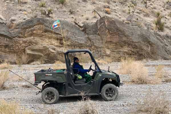
Lower Wheeler Wash
Lower Wheeler Wash is an inviting, scenic desert trail near Pahrump, Nevada, that offers offroaders an easy but highly rewarding journey through striking canyons and unique geologic features. Starting from Wheeler Pass Road and heading southeast on North Wheeler Road, the route covers about 4.2 mile...
Learn more about Lower Wheeler Wash

Bill Bike Trail
This is a fast and flowy single track through Yucca and Joshua Trees in the Pahrump BLM. It goes up and over small hills and in and out of washes and doesn't have very many whoops. It's mostly a smooth trail with some loose rock but is consistently easy and a great place for beginners new to singlet...
Learn more about Bill Bike Trail
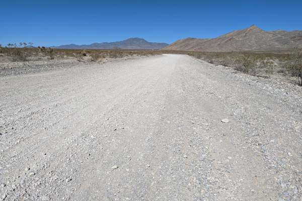
South Wheeler Pass Road
South Wheeler Pass Road is an ideal, scenic route for beginner offroaders and families seeking a gentle introduction to Nevada’s desert landscape, offering stunning panoramic views of the Pahrump Valley and Wheeler Wash. Spanning approximately 7.6 miles, this trail begins at the intersection of High...
Learn more about South Wheeler Pass Road

"Just Found It" Trail
Leisurely gravel and dirt trail that meanders in and out of a wash. Good views of Pahrump, Nevada, and the surrounding valley. Joshua Tree forest with nice stands of Yucca, Barrel, and Cholla Cactus. Spring songbirds and ravens can be heard. Numerous signs of wild horses and burros. Verizon cell ser...
Learn more about "Just Found It" Trail

Carpenter Canyon Road
The trail starts out as a good, wide gravel road. Mostly Creosote bushes at first. About 1 mile in is the BLM Pahrump Fire Station. Shortly after passing the fire station, the road narrows and gets a bit rutty. The first Joshua Trees appear about 2.6 miles in, with Cholla and Barrel Cactus making a ...
Learn more about Carpenter Canyon Road

Horse Springs - Sand Wash Cut Across
A short, up and down, off-road trail on BLM land that is primarily gravel and loose rock. The trail passes through a beautiful Joshua Tree forest. Signs of wild burrows and mustangs in the area. Songbirds and hummingbirds are present in spring. Best suited for smaller size vehicles. Verizon cell ser...
Learn more about Horse Springs - Sand Wash Cut Across

Joshua Tree Trail
This is a fast and narrow single track through a wide-open desert full of yucca and Joshua Trees in the Pahrump BLM. It flows up and over small hills on a dirt surface with loose rock, with some whoops. Watch out for spiky plants on the side of the trail. It's a scenic and fun trail, with views over...
Learn more about Joshua Tree Trail

Sand Wash Road
At the intersection with Hemlock Road, take Sand Wash Road westbound towards Pahrump. This trail is comprised mostly of gravel and is relatively level the whole way. It follows Sand Wash through Blackbrush, Joshua Tree Woodland, Creosote Bush, and Mojave Desert Life Zone communities. Keep an eye out...
Learn more about Sand Wash Road

Hemlock Road
This mostly single-track, out-and-back trail climbs gradually through Joshua Tree, Blackbrush, and Pinyon-Juniper desert life zones. Along the trail, you'll see interesting rock formations, scenic views, wild burro trails (maybe even some wild burros), and an abandoned mine. The trail is mostly dirt...
Learn more about Hemlock Road

Groundsmoke Road
From Hemlock Road, travel NW then NE on Groundsmoke Road. This will take you across BLM land through Joshua Tree and Yucca communities. Eventually, there will be a crossing into Toiyabe National Forest where the trail has uneven and rocky sections. This trail parallels a deep wash and terminates at ...
Learn more about Groundsmoke Road
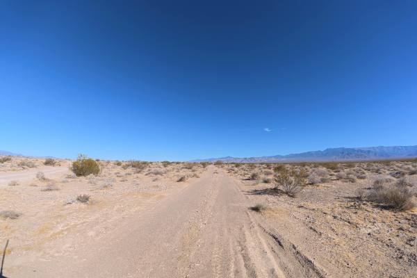
BLM RS2477
BLM RS2477 travels over fine, loose dirt that can become more difficult when wet. Frequent rock gardens contain 2–6-inch rocks, while ruts begin around 6–8 inches deep and whoops reach 12–18 inches tall. Around 1.8 miles, the trail becomes very narrow with heavy overgrown vegetation, making pinstrip...
Learn more about BLM RS2477
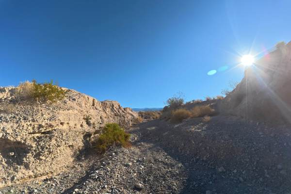
Rocky Road
Rocky Road is noticeably different from surrounding trails, consisting almost entirely of continuous rock gardens with 2–6 inch rocks. Ruts initially range from 2–8 inches deep but increase to approximately 12–20 inches around 0.2 miles. 4WD or AWD is required. Some overgrown vegetation is present, ...
Learn more about Rocky Road
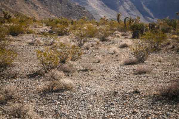
Roosters Course
Ride this fun, fast, and flowy singletrack through rolling desert hills in a Joshua Tree Forest beneath the Spring Mountains. The trail dips in and out of ravines and drops into gravel washes with small loose rocks. It has some small loose climbs out of the ravines but doesn't have any significant o...
Learn more about Roosters Course
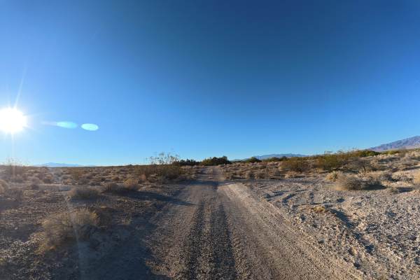
Pahrump Hook
Pahrump Hook travels over fine, loose sand mixed with gravel that can become more difficult when wet. Ruts reach 6–12 inches deep, with washes and whoops up to 14 inches tall. Some sections reach approximately 8° off-camber. The route offers continuous views of the surrounding mountain ranges, with ...
Learn more about Pahrump Hook
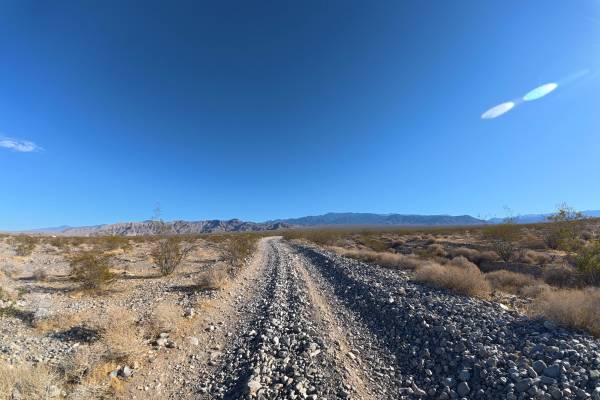
Charleston Peak View Road
Charleston Peak View Road begins very narrow, with little room for vehicles to pass. Ruts reach 6–8 inches deep, and a long stretch of rock gardens contains rocks ranging from 2–8 inches in diameter, although the rocks become smaller after about 0.3 miles. Some overgrown vegetation is present, but p...
Learn more about Charleston Peak View Road
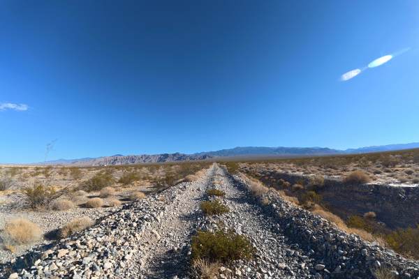
Dirt Mound Road
Dirt Mound Road travels over fine, loose dirt that can become more difficult when wet. The trail is wide enough for vehicles to pass, with ruts ranging from 6–12 inches deep. Some overgrown vegetation is present, although pinstriping is generally avoidable. The route ends with a rock garden containi...
Learn more about Dirt Mound Road
ATV trails near Pahrump, Nevada
Explore ATV-friendly trails near you. These trails are accessible for vehicles up to 50 inches wide, perfect for ATVs and smaller off-road machines.
Wheeler Pass
Starting in Cold Creek, the Wheeler Pass trail takes you up and over the Spring Mountains. The trail was the main way to travel from the Indian Springs area to Pahrump in the 1800s. The trail is rough and rocky but passable in a high-clearance 4x4. Fantastic views of the desert floor await as you cl...
Learn more about Wheeler Pass
Hughes Cabin-Horse Springs Road
Hughes Cabin-Horse Springs Road is an easy, scenic gravel route perfect for beginners, families, and any high- or low-clearance vehicle looking for a relaxing drive near Pahrump, Nevada. Stretched across approximately 6.2 miles, this wide and well-maintained gravel road steadily climbs 1,586 feet fr...
Learn more about Hughes Cabin-Horse Springs Road
Higley Road/Trail - Powerline Road
This trail starts just outside of a housing development in Pahrump and ends in the foothills (or vice versa). The trail is partially a gravel road nearby the town and becomes a powerline trail shortly after leaving town. The trail is easy peasy and can be traversed by 2WD vehicles under normal weath...
Learn more about Higley Road/Trail - Powerline Road
Powerline Trail
This trail continues from Higley Trail in Pahrump farther up into the mountains. We saw several homeless campers with dilapidated RVs and trash everywhere nearby these camps (sad!). There are also lots of weekenders boondocking on BLM land, enjoying responsibly. The trail is narrower than its start...
Learn more about Powerline Trail
UTV/side-by-side trails near Pahrump, Nevada
Find UTV and side-by-side trails near you. These trails accommodate vehicles up to 60 inches wide, ideal for UTVs, side-by-sides, and wider off-road rigs.
Wheeler Pass
Starting in Cold Creek, the Wheeler Pass trail takes you up and over the Spring Mountains. The trail was the main way to travel from the Indian Springs area to Pahrump in the 1800s. The trail is rough and rocky but passable in a high-clearance 4x4. Fantastic views of the desert floor await as you cl...
Learn more about Wheeler Pass
Hughes Cabin-Horse Springs Road
Hughes Cabin-Horse Springs Road is an easy, scenic gravel route perfect for beginners, families, and any high- or low-clearance vehicle looking for a relaxing drive near Pahrump, Nevada. Stretched across approximately 6.2 miles, this wide and well-maintained gravel road steadily climbs 1,586 feet fr...
Learn more about Hughes Cabin-Horse Springs Road
Higley Road/Trail - Powerline Road
This trail starts just outside of a housing development in Pahrump and ends in the foothills (or vice versa). The trail is partially a gravel road nearby the town and becomes a powerline trail shortly after leaving town. The trail is easy peasy and can be traversed by 2WD vehicles under normal weath...
Learn more about Higley Road/Trail - Powerline Road
Powerline Trail
This trail continues from Higley Trail in Pahrump farther up into the mountains. We saw several homeless campers with dilapidated RVs and trash everywhere nearby these camps (sad!). There are also lots of weekenders boondocking on BLM land, enjoying responsibly. The trail is narrower than its start...
Learn more about Powerline Trail
The onX Offroad Difference
onX Offroad combines trail photos, descriptions, difficulty ratings, width restrictions, seasonality, and more in a user-friendly interface. Available on all devices, with offline access and full compatibility with CarPlay and Android Auto. Discover what you're missing today!
Open Trail Map