Bill Beers
Dec 18, 2025
Open
Dusty
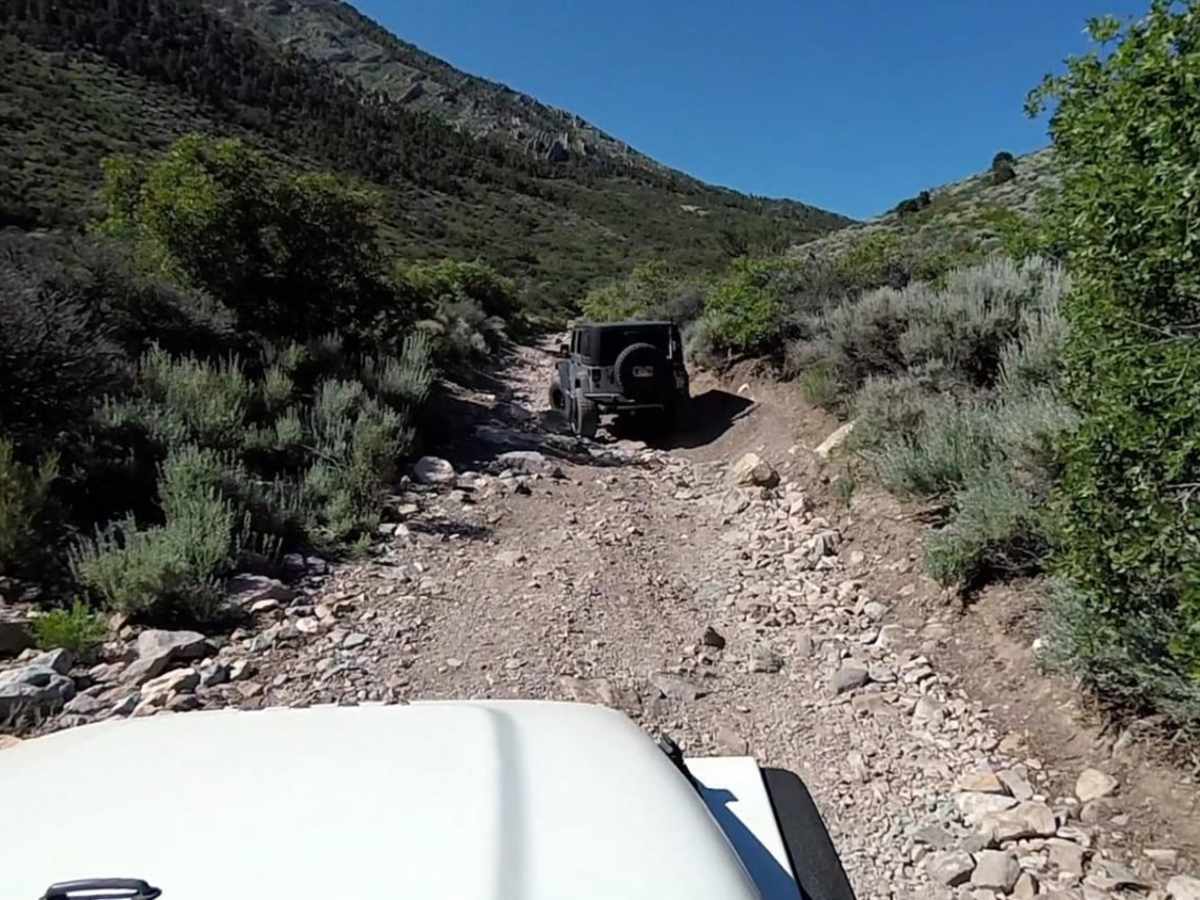
We took a Chev Colorado 4x4, a new Bronco and a couple Jeep Wranglers over the pass from Cold Creek to Pahrump yesterday. The road is rocky and therefore bumpy and slow at times but is completely doable. We encountered a bit of ice on the road just before the summit on the Cold Creek side but nothing to really slow us down.
Mondo B
Oct 08, 2025
2008 Porsche Cayenne
Obstructed
Washout
The pic with the map has a detour as part of the trail is really washed out on the North side of Mtn Charleston. The BLM have put up concrete barriers to block any vehicles passing it. When you pick up the trail again it’s straight up washed out road with bolders and medium size river rock. This section is definitely not a 3. It’s a 5/6 now. You can’t get through the Northern section without high clearance or body armor on your truck. Since last year’s winter storms every number on this app in the West has been wrong. Definitely not a 3. Once you get to the peak the south west section heading towards Pahrump is really well maintained and a 3. Stay away from the North side and you’ll be fine. Damaged my Cayenne on the trail. Just part of doing trails without armor.
Jim Roal
Oct 04, 2025
2023 Husqvarna 701 Enduro
Open
Normal
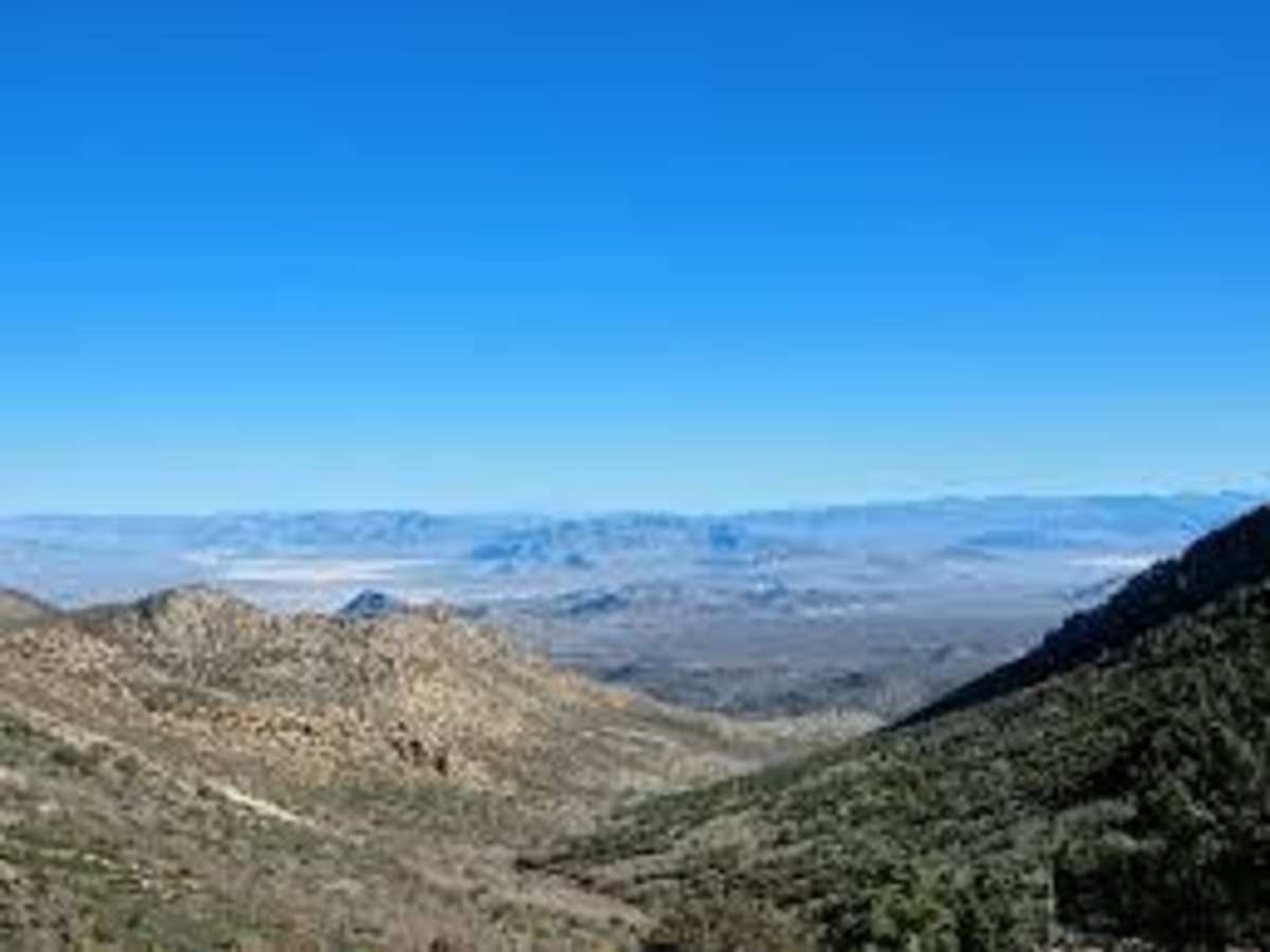
The "gate" (a cable) at Cold Creek was open. The trail condition was normal for Wheeler Pass. This is challenging on a motorcycle since we were riding up from the Cold Creek side and that section is basically a wash full of medium sized rocks (3" - 8"). This may not be very difficult for 4 wheeled vehicles but it is more challenging for motorcycles. Looking towards Pahrump from the pass we got some great fall colors.
Note: The route shown here is missing the detour around Willow Spring. I attached the detour route as an image here. From Willow Spring follow the detour signs back to Wheeler Pass.
Nikolai Chumakov
Sep 27, 2025
Open
Normal
Trail is fairly easy most of the way. If you come from the pahrump side you shouldn’t encounter any boulders until you pass the well. My jeep is stock height with 29” tires. I hit the cross member quite a few times but if I was more careful I’m sure I could have avoided it. My group stopped at the peak and we went back to pahrump instead of driving down Cold Creed side. So basically, a Subaru can make it to the well from the Pahrump side but past that you might have some difficulty getting through.
Mark Rowe
Sep 01, 2025
2021 Toyota 4Runner
Open
Normal
Main trail is closed at Willow Creek. There is a posted detour to go around the closed portion and get back on the main trail.
Michael kasch
Sep 01, 2025
Permanently Closed
The trailer is closed around the Willow creek crossing. There is a detour marked with posted signs. This is near the town of Cold creek.
Dan Wiggins
Jul 20, 2025
Open
Rough/Deteriorated
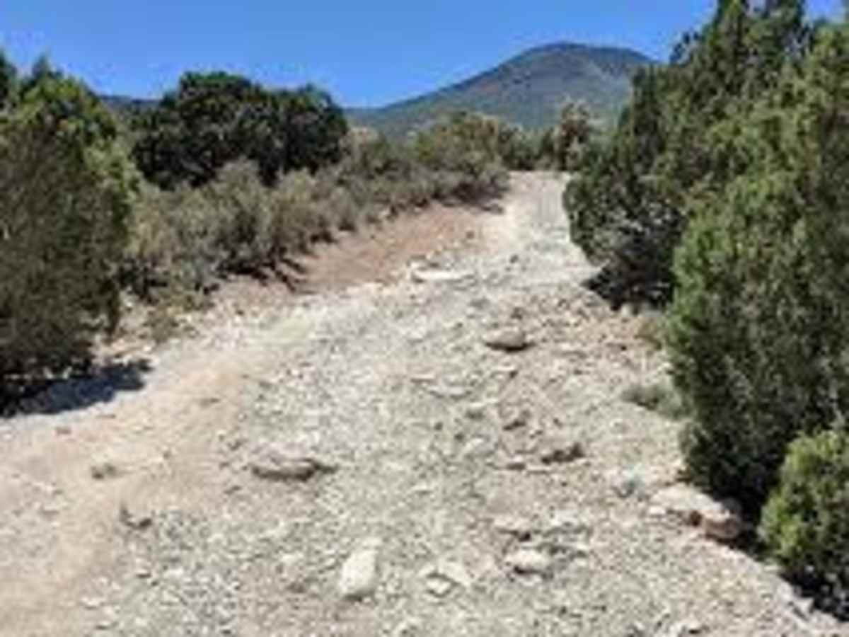
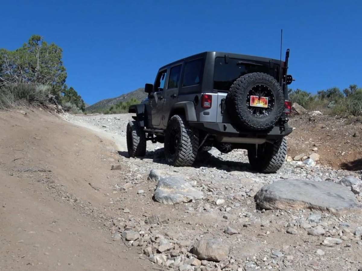
Our party included (2) Power Wagons, and (1) Chevy 1500 with stock suspension. The trail has a lot of deteriorated areas medium boulders to navigate. There are a lot of sharp rocks which can destroy non-rated and older tires. There is a lot of brush which will cause pin striping on both side sides of your vehicle. A lot of has been cut back, but the quantity is great. Overall it was a wonderful trail with some fantastic challenges. The views are stunning. It took us about 6.5-7 hours and started on the Cold Creek side. NOT RECOMMENDED FOR SOLO TRAVELERS.
Wheelin’ Barry
May 30, 2025
Open
Pat Hayhurst
May 16, 2025
2022 Jeep Wrangler
Open
Rough/DeterioratedWashboard
We started on the Pahrump side and headed towards Cold creek. Very easy road going up until we got to the water tank. Could easily pull the teardrop to the well area. From there the trail got narrow and rocky. Not at all impossible but very rocky. Someone was there recently and cut a lot of branches so that was very much appreciated. Once in the pass the trail got easier. The only difficult part was between the pass and the water tank. I didn’t get into 4-low all that often and didn’t use the lockers at all. The east side has a detour but seems to be pretty well marked. Very nice drive and a great day.
cody Newman
Jan 05, 2025
Open
started in Cold Creek, as a lot of other people have noted theirs detour signs up to get you past the washed out section. it gets pretty rough and rocky . it's a fun trail and beautiful. Take it slow, pick your lines and you will be fine. I did the trail in a Jeep Gladiator Rubicon with a 2 inch lift on 33's , my friend did it in a stock Bronco Badlands with no issues.
Adrian A
Nov 10, 2024
Obstructed
Washout
Follow the detour signs to get past the washout from the snow runoff the last few years. Trail was in good shape, no real obstacles but still a fun trail for stock to moderately built rigs. Those with lots of experience or over built rigs might get bored.
Deb A
Oct 19, 2024
Open
NormalDustyRough/Deteriorated
Part of the original trail was washed out last summer. There are now detour signs from each direction at the point of the washout. You can go all the way through each way, but navigate carefully at the detours. (Tim’s map below helped!) There were some very rocky and rough stretches and you will get pinstripes. I can see where it will flood if there is a heavy rain, so be aware of that. Otherwise it was a gorgeous trail!
Tim Hynes
Oct 14, 2024
Open
Normal
Started on the Cold Creek/ HW 95 side and took the trail to Pahrump. Saw some wild horses, had lunch in Pahrump, and topped off gas. (Gas prices are a little less in Pahrump than Vegas)
I marked the detour sign locations with orange arrows on one of my pictures. The blue dashed line was my path for the detour. But there are multiple ways to go, so download the area for offline use. (Hopefully that helps)
Also, I didn’t see anybody the whole day. But if you run across an angry Karen, note the GPS coordinates for us. (Maybe that will help somebody in the future)
Kevin Auger
Oct 13, 2024
2024 Ford Ranger
Obstructed
Washout
One section has been closed for a while now. You’ll need offline maps to help you back on track after the detour (which is on the cold creek side). Cold Creek side of the trail is—in my opinion—more accurately a blue trail, with significant rocks, off-camber switch backs, and narrow sections. Not for the faint of heart! The Pahrump side is much accessible, and has extended sections of wide, soft, and flowing trails.
Joshua Thompson
Aug 02, 2024
2019 Lexus GX
Open
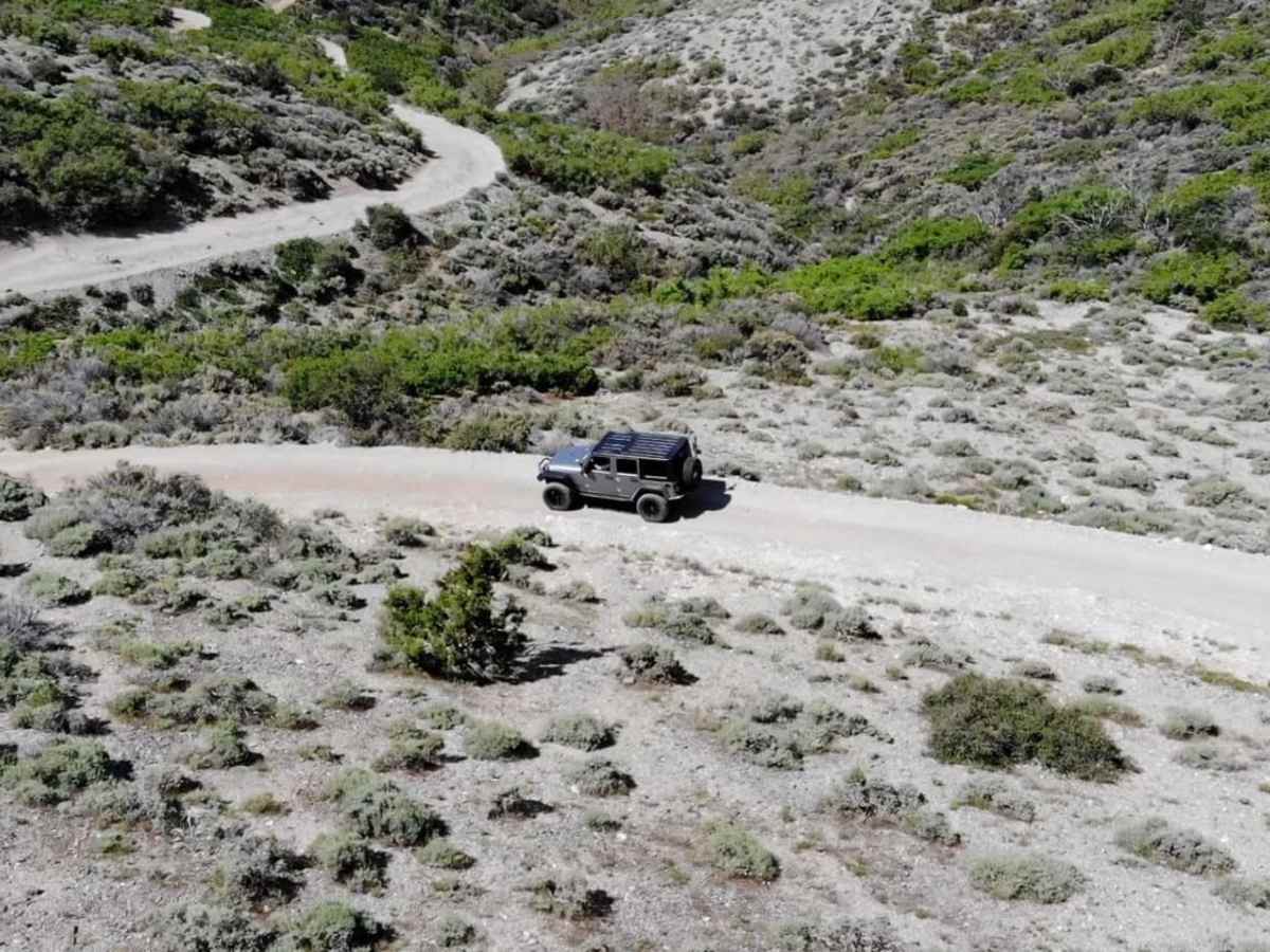
NormalDustyRough/Deteriorated
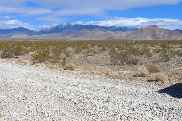
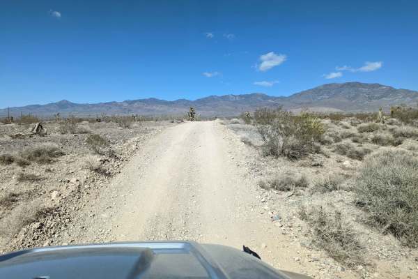
Coming from Pahrump the trail starts on a very wide dirt road. No washboard today. Saw a few SXS in this section. The trail was very tight and there were a few large rocks and trees to avoid as you start your ascent. Nothing technical or difficult. Only needed 4x4 a few times, never needed the center lock or noticed ATRAC kicking in. A thunderstorm came as soon as we hit the peak, so the downhill section on the cold creek side was slick, but easily manageable. Fun trail! Just very slow and bumpy for most of it.