Trail Overview
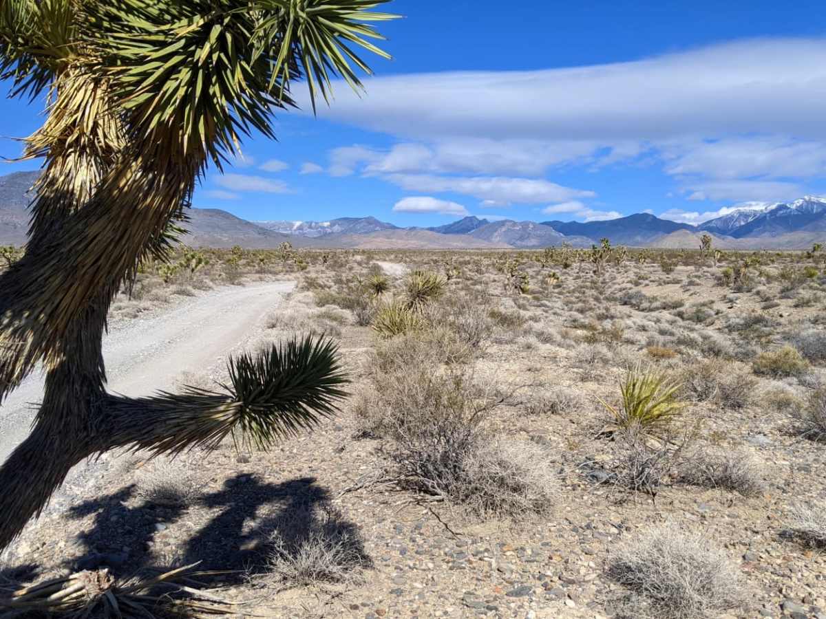
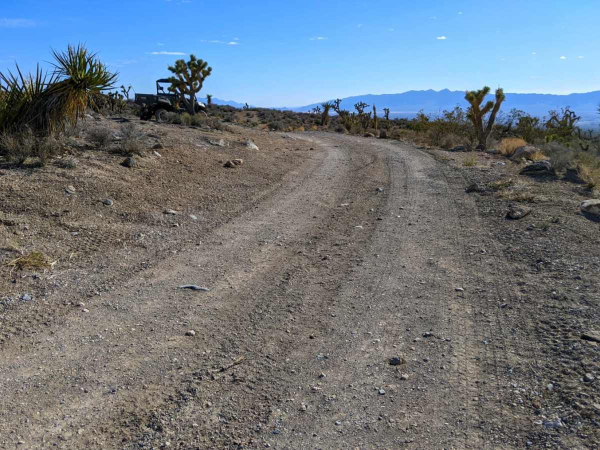
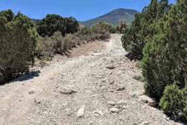
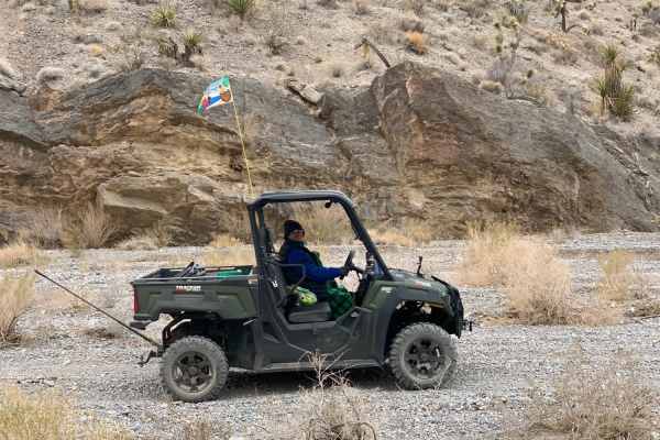
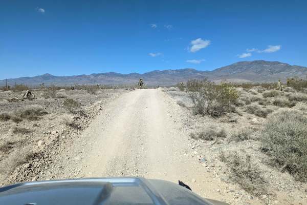
Hughes Cabin-Horse Springs Road is an easy, scenic gravel route perfect for beginners, families, and any high- or low-clearance vehicle looking for a relaxing drive near Pahrump, Nevada. Stretched across approximately 6.2 miles, this wide and well-maintained gravel road steadily climbs 1,586 feet from the valley floor at 2,949 feet to a peak elevation of 4,536 feet. Traversing Bureau of Land Management land, the trail maintains a gentle average gradient of 2.8 degrees with a maximum gradient of 7.4 degrees. Because of the excellent road conditions and a technical difficulty rating of 1, the route requires no special off-road equipment, making it highly accessible for standard four-wheel-drive vehicles, SUVs, and SxSs.
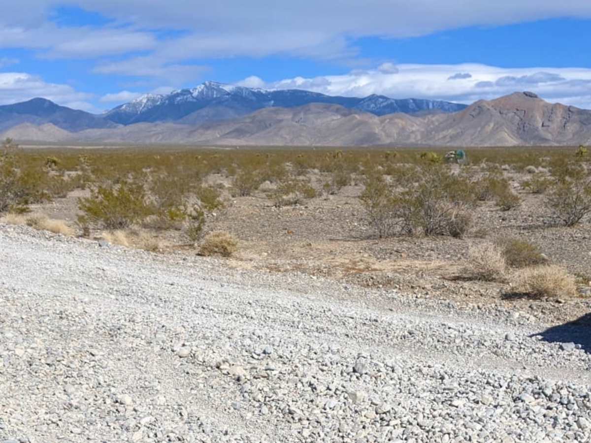
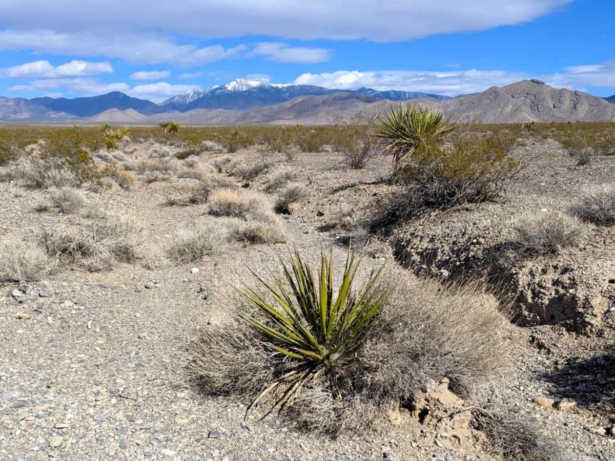
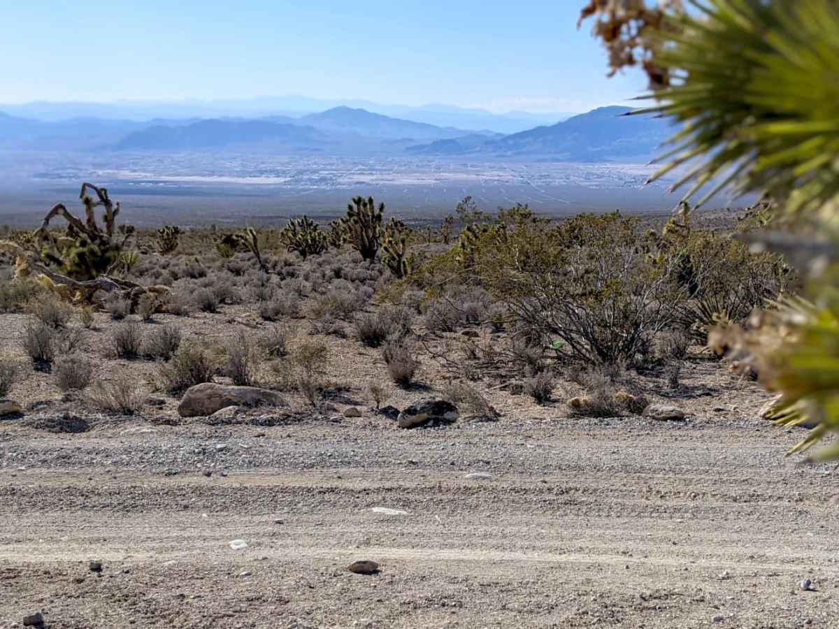
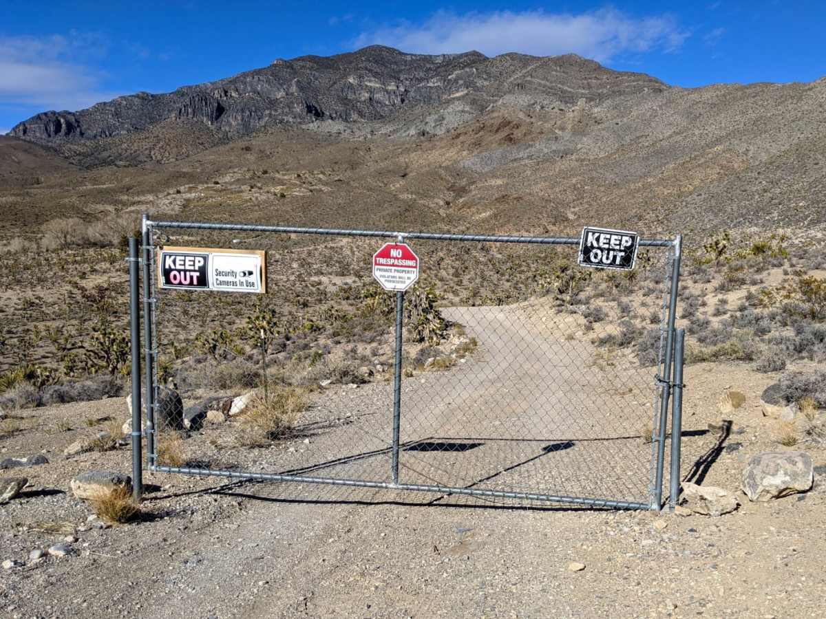
The drive offers sweeping, panoramic views of the Pahrump Valley as it ascends through the Mojave Desert. The surrounding hillsides showcase a classic desert landscape filled with native flora, particularly dense stands of Joshua trees and yuccas. The route eventually ends at a locked gate with a "no trespassing" sign, indicating private property, which requires all drivers to turn around and head back. There are no major obstacles or technical challenges along the way, providing a straightforward, reliable, and picturesque out-and-back journey.
Access Description
The route travels through public land managed by the Bureau of Land Management (BLM). The trail terminates at a locked gate marked with a "no trespassing" sign, indicating private property, which requires all visitors to turn around at that point.


 Offroad