
Dirt Bike Trails
Near Charleston View, California
Explore All Dirt Bike Trails Near Charleston View, California
Dirt Bike Trails Near Charleston View, California
Discover the best dirt bike trails near you. Browse trail maps, check difficulty ratings, and find your next adventure — whether you're looking for a quick ride or an all-day expedition.
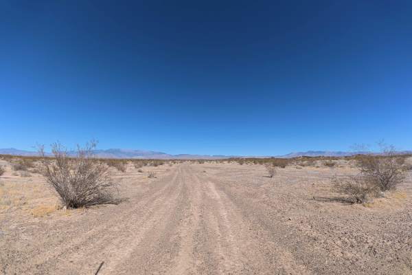
Cali to Sandy Valley
Cali to Sandy Valley begins directly along the California-Nevada border and travels over fine, loose dirt that can become more difficult when wet. The trail branches from an easy Level 2 route and has ruts ranging from approximately 5–8 inches deep. Several large campsites are located along the rout...
Learn more about Cali to Sandy Valley
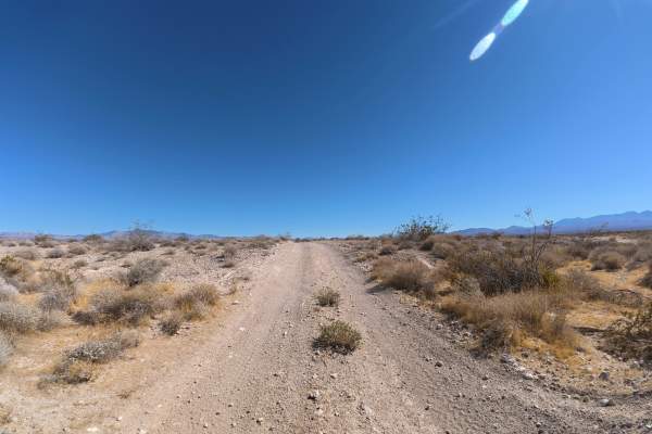
Cathedral South
Cathedral South travels over fine, loose dirt that can become more difficult when wet. The beginning of the trail has frequent washboards and 4–6-inch ruts, creating a consistently bumpy ride.
Despite the rough surface, the route is extremely scenic, offering expansive 360° views of the mountain ra...
Learn more about Cathedral South
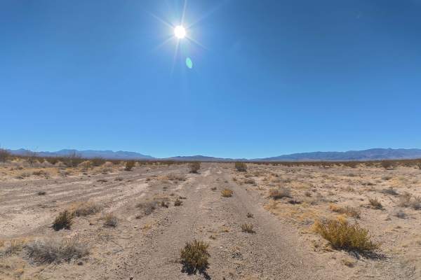
Stump Spring West
Stump Spring West travels west over fine, loose dirt that can become more difficult when wet. The trail is narrow with some overgrown vegetation, although pinstriping is generally avoidable and occasional pullouts allow vehicles to pass. Ruts and washes reach approximately 12 inches, with a few larg...
Learn more about Stump Spring West
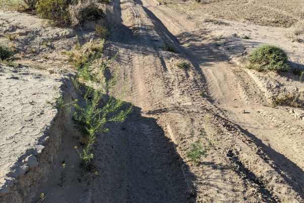
Old Spanish Trail
This is a fun trail from the south end of Pahrump out to Prairie Fire, formerly known as Front Sight Road. From Front Sight Rd you can go right and head towards Prairie Fire, head left towards Tecopa Highway, or go straight across the road to Cathedral Canyon. This is mostly an easy desert trail wit...
Learn more about Old Spanish Trail
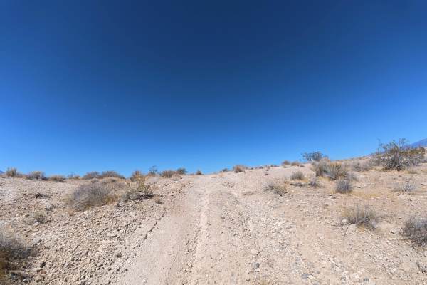
Placemark North
Placemark North travels over fine, loose dirt that can become more difficult when wet. Within the first 0.1 miles, several large washes require 4WD or AWD. Multiple rock ledges reach approximately 8 inches tall. Around 0.4 miles, the trail narrows with overgrown vegetation, although pinstriping is g...
Learn more about Placemark North
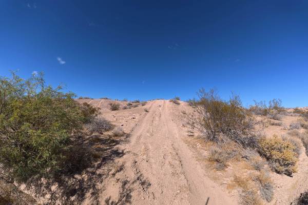
Sand Valley Plant Road
Sand Valley Plant Road travels over fine, loose dirt and sand that can become more difficult when wet. The route has frequent 6–8 inch ruts, whoops up to 14 inches tall, and rock gardens with 2–6 inch rocks. Several washes reach 18 inches deep and require approximately 12 inches of front-end approac...
Learn more about Sand Valley Plant Road
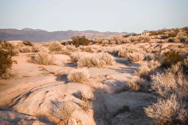
5 Horsepower Trail
This short single track is located in the BLM land southeast of Pahrump, NV as part of a bigger trail system full of fast, fun, and flowy single tracks. Starting from the west end of this trail, the trail departs from a graded jeep road where there is an abandoned red 5 horsepower lawnmower thing wi...
Learn more about 5 Horsepower Trail
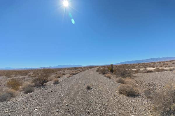
Tecopa Parallel
Tecopa Parallel runs alongside Tecopa Road over fine, loose dirt mixed with gravel that can become more difficult to drive when wet. The trail is wide enough for vehicles to pass and travels directly toward the surrounding mountain range, providing scenic views throughout the route. Camping is abund...
Learn more about Tecopa Parallel
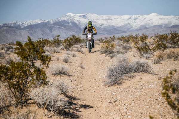
Pants Trail
The Pants Trail is probably one of the more popular trails in this trail system SE of Pahrump, NV. It's a fun and flowy 6-mile trail that has fewer loose rocks than the rest of the trails in the area. This is a faster trail because it's mostly smooth, straight, and flat. From the south trailhead, it...
Learn more about Pants Trail
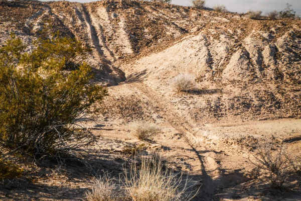
Andy Tk2
The Andy Tk2 trail is a fast and flowy ride through a mix of soft bentonite dirt hills and hardpack single track. The trail flows up and over these hills and into ravines, through a wide open desert landscape full of small bushes and cacti. The south end of the trail begins at the intersection with ...
Learn more about Andy Tk2
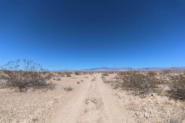
Cathedral Cut-Off
Cathedral Cut-Off travels over fine, loose dirt that can become more difficult when wet. The trail is narrow, although occasional areas allow vehicles to pull aside for passing. Ruts remain around 2–6 inches deep throughout the route, with some sections reaching approximately 5° off-camber. Multiple...
Learn more about Cathedral Cut-Off
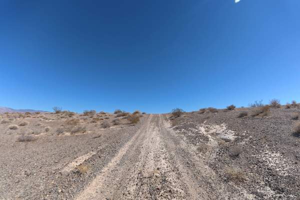
Old Spanish Connection
Old Spanish Connection travels from Front Sight Road through BLM land before connecting with Old Spanish Trail. The route consists of fine, loose dirt that can become more difficult when wet. Ruts remain around 5–6 inches deep, while repeated whoops reach approximately 14–18 inches tall. The trail p...
Learn more about Old Spanish Connection
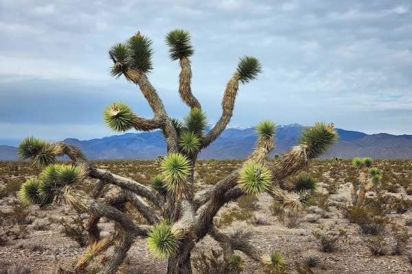
Hafen Spanish to Old Spanish
This trail is between Mountain Springs and Pahrump, just outside of Las Vegas a quick 45-minute drive west on N-160 Blue Diamond Highway. Which will turn into the Pahrump Valley Highway. Turning Left off the highway onto Tecopa we drove about a mile and the trailhead come up on your left. If you con...
Learn more about Hafen Spanish to Old Spanish
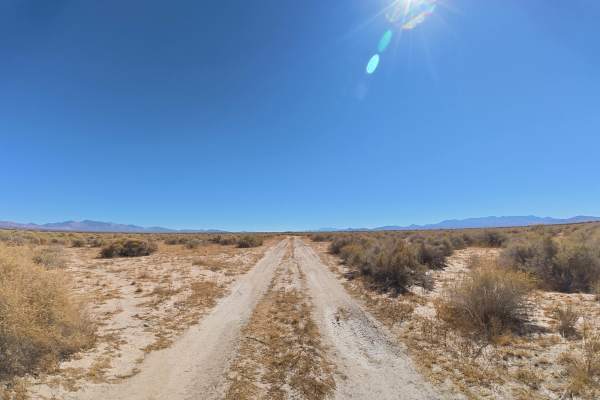
5 Horsepower Cut-Off
5-Horsepower Cut-Off travels over fine, loose dirt and sand that can become more difficult when wet. The trail is narrow but has occasional room to pull aside for passing. Ruts and washes begin around 8–12 inches deep, with several larger wash crossings reaching approximately 18 inches. 4WD or AWD i...
Learn more about 5 Horsepower Cut-Off
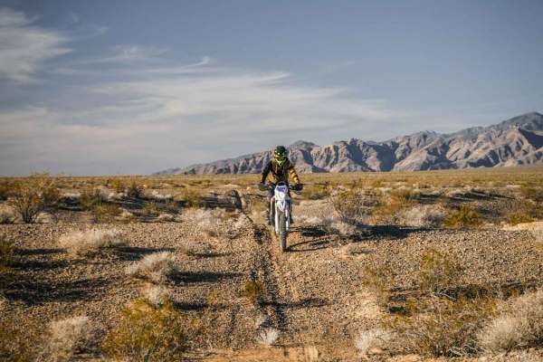
Al's Street
Al's Street is a 5-mile single track on the north side of Tecopa Road in the BLM land southeast of Pahrump, NV. The south end of the trail is accessed off of Front Site Road and starts right at the edge of the pavement. There isn't a staging area right at the trailhead, so you'll most likely want to...
Learn more about Al's Street
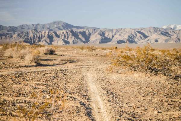
Front Site Overlook
This short trail is a mix of single track and road on BLM land that goes past the Front Site Firearms Training Institute. It's a mix of hard pack dirt with loose rock, graded jeep road, bentonite hills, and softer sandier trail. From the north end, it starts on a jeep road, but the single track peel...
Learn more about Front Site Overlook
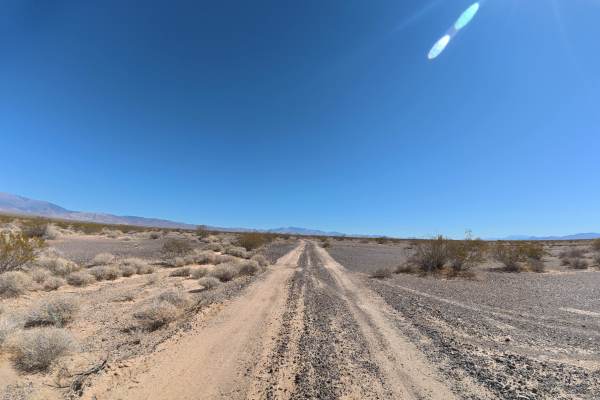
RS South East
RS SouthEast travels over fine, loose dirt that can become more difficult when wet. Ruts remain around 2–5 inches deep, while several rock ledges reach 5–8 inches tall. Some sections reach approximately 8° off-camber. The route offers expansive 360° views of the surrounding mountain ranges and deser...
Learn more about RS South East
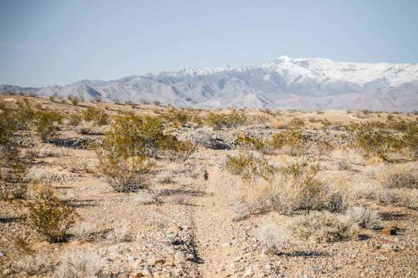
Andy Tk3
This short single track is a fun ride in the Pahrump BLM through a wide-open desert landscape full of Yucca and Joshua Trees. It's a fast and flowy single track that is mostly smooth and easy. It crosses several sudden dips into ravines that you have to watch out for. The south end of this trail com...
Learn more about Andy Tk3
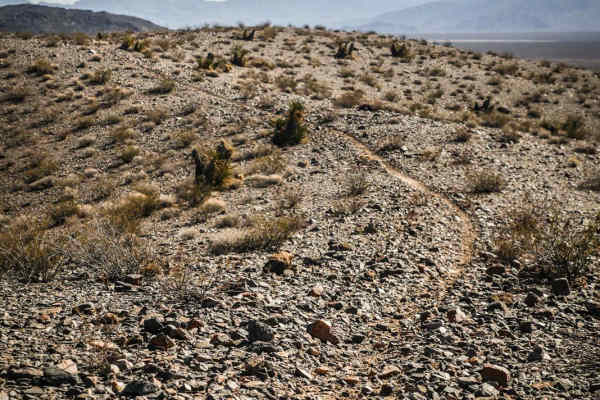
Ridge Trail
The Ridge Trail is a single-track trail starting off of Sandy Valley Fwy, a jeep road that starts off of Tecopa Road, in the BLM area southeast of Pahrump, NV. The northern trailhead starts on soft bentonite dirt with a few whoops. It turns into a rocky wash and steadily starts to gain some elevatio...
Learn more about Ridge Trail
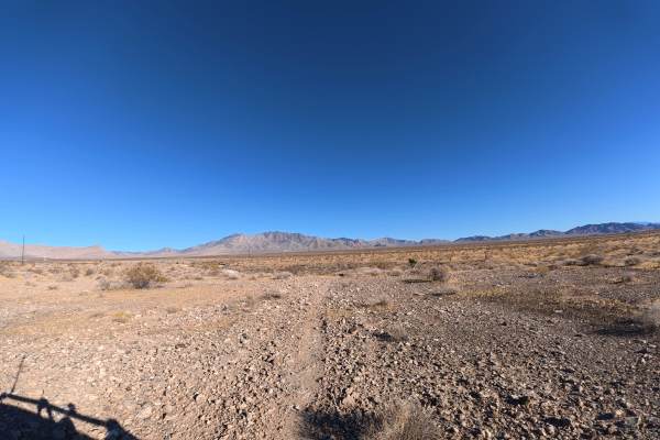
Pants East
Pants East travels over fine, loose dirt that can become more difficult when wet. Frequent rock gardens contain 2–6-inch rocks, while numerous loose, rocky obstacles throughout the route reach 12–24 inches tall. 4WD or AWD is required due to the size and frequency of these obstacles.
Camping is ple...
Learn more about Pants East
ATV trails near Charleston View, California
Explore ATV-friendly trails near you. These trails are accessible for vehicles up to 50 inches wide, perfect for ATVs and smaller off-road machines.
Cali to Sandy Valley
Cali to Sandy Valley begins directly along the California-Nevada border and travels over fine, loose dirt that can become more difficult when wet. The trail branches from an easy Level 2 route and has ruts ranging from approximately 5–8 inches deep. Several large campsites are located along the rout...
Learn more about Cali to Sandy Valley
Cathedral South
Cathedral South travels over fine, loose dirt that can become more difficult when wet. The beginning of the trail has frequent washboards and 4–6-inch ruts, creating a consistently bumpy ride.
Despite the rough surface, the route is extremely scenic, offering expansive 360° views of the mountain ra...
Learn more about Cathedral South
Stump Spring West
Stump Spring West travels west over fine, loose dirt that can become more difficult when wet. The trail is narrow with some overgrown vegetation, although pinstriping is generally avoidable and occasional pullouts allow vehicles to pass. Ruts and washes reach approximately 12 inches, with a few larg...
Learn more about Stump Spring West
Old Spanish Trail
This is a fun trail from the south end of Pahrump out to Prairie Fire, formerly known as Front Sight Road. From Front Sight Rd you can go right and head towards Prairie Fire, head left towards Tecopa Highway, or go straight across the road to Cathedral Canyon. This is mostly an easy desert trail wit...
Learn more about Old Spanish Trail
UTV/side-by-side trails near Charleston View, California
Find UTV and side-by-side trails near you. These trails accommodate vehicles up to 60 inches wide, ideal for UTVs, side-by-sides, and wider off-road rigs.
Cali to Sandy Valley
Cali to Sandy Valley begins directly along the California-Nevada border and travels over fine, loose dirt that can become more difficult when wet. The trail branches from an easy Level 2 route and has ruts ranging from approximately 5–8 inches deep. Several large campsites are located along the rout...
Learn more about Cali to Sandy Valley
Cathedral South
Cathedral South travels over fine, loose dirt that can become more difficult when wet. The beginning of the trail has frequent washboards and 4–6-inch ruts, creating a consistently bumpy ride.
Despite the rough surface, the route is extremely scenic, offering expansive 360° views of the mountain ra...
Learn more about Cathedral South
Stump Spring West
Stump Spring West travels west over fine, loose dirt that can become more difficult when wet. The trail is narrow with some overgrown vegetation, although pinstriping is generally avoidable and occasional pullouts allow vehicles to pass. Ruts and washes reach approximately 12 inches, with a few larg...
Learn more about Stump Spring West
Old Spanish Trail
This is a fun trail from the south end of Pahrump out to Prairie Fire, formerly known as Front Sight Road. From Front Sight Rd you can go right and head towards Prairie Fire, head left towards Tecopa Highway, or go straight across the road to Cathedral Canyon. This is mostly an easy desert trail wit...
Learn more about Old Spanish Trail
The onX Offroad Difference
onX Offroad combines trail photos, descriptions, difficulty ratings, width restrictions, seasonality, and more in a user-friendly interface. Available on all devices, with offline access and full compatibility with CarPlay and Android Auto. Discover what you're missing today!
Open Trail Map