Trail Overview
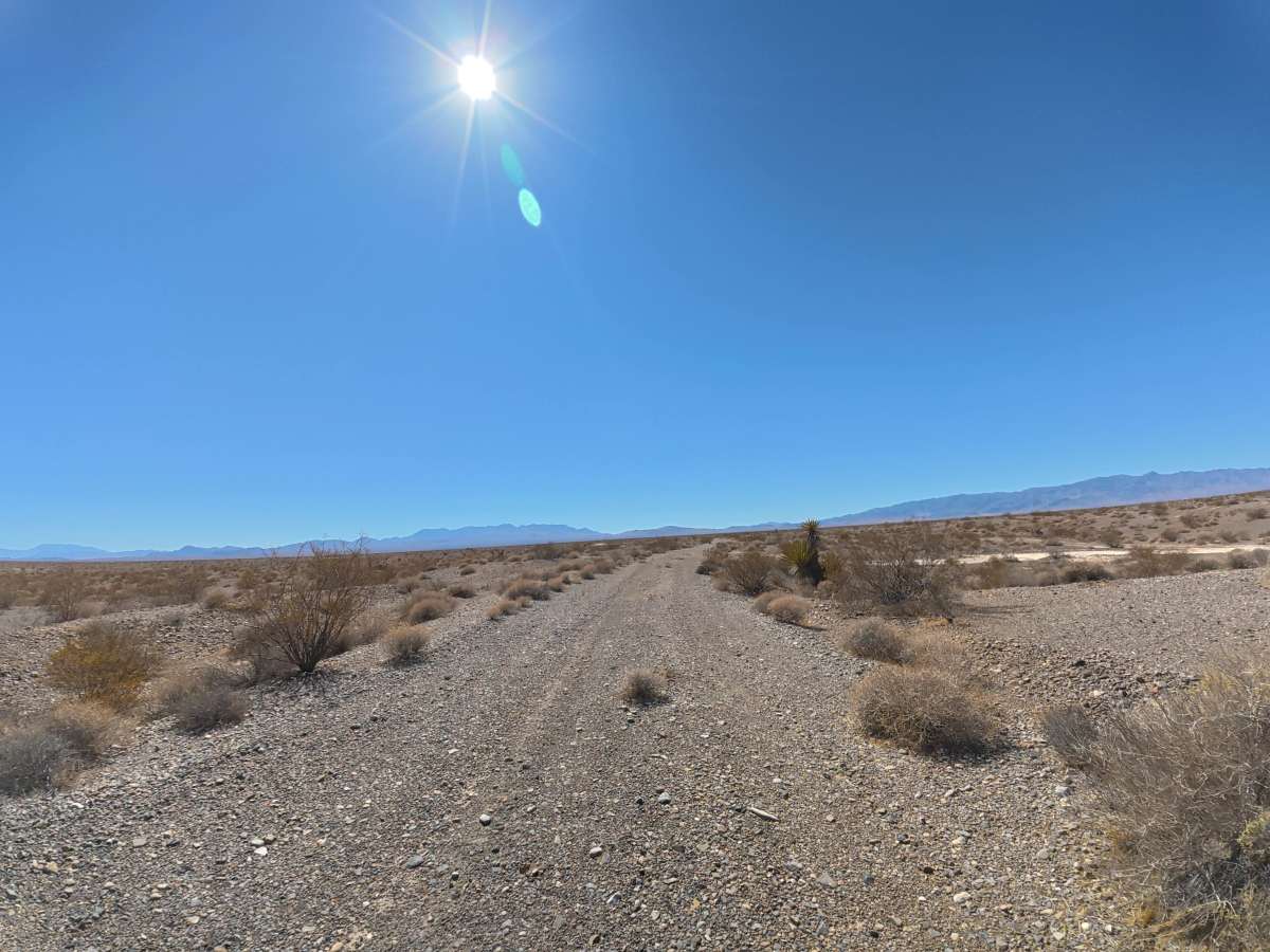
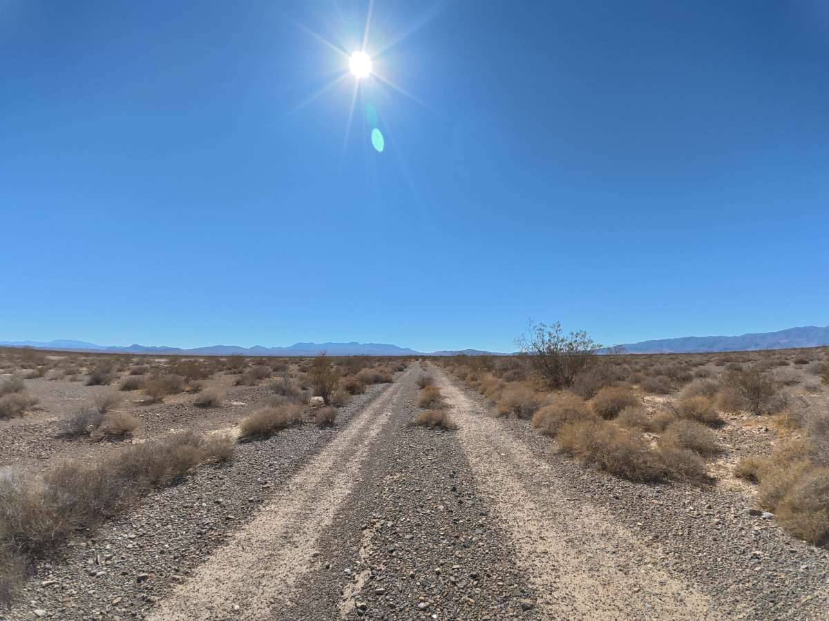
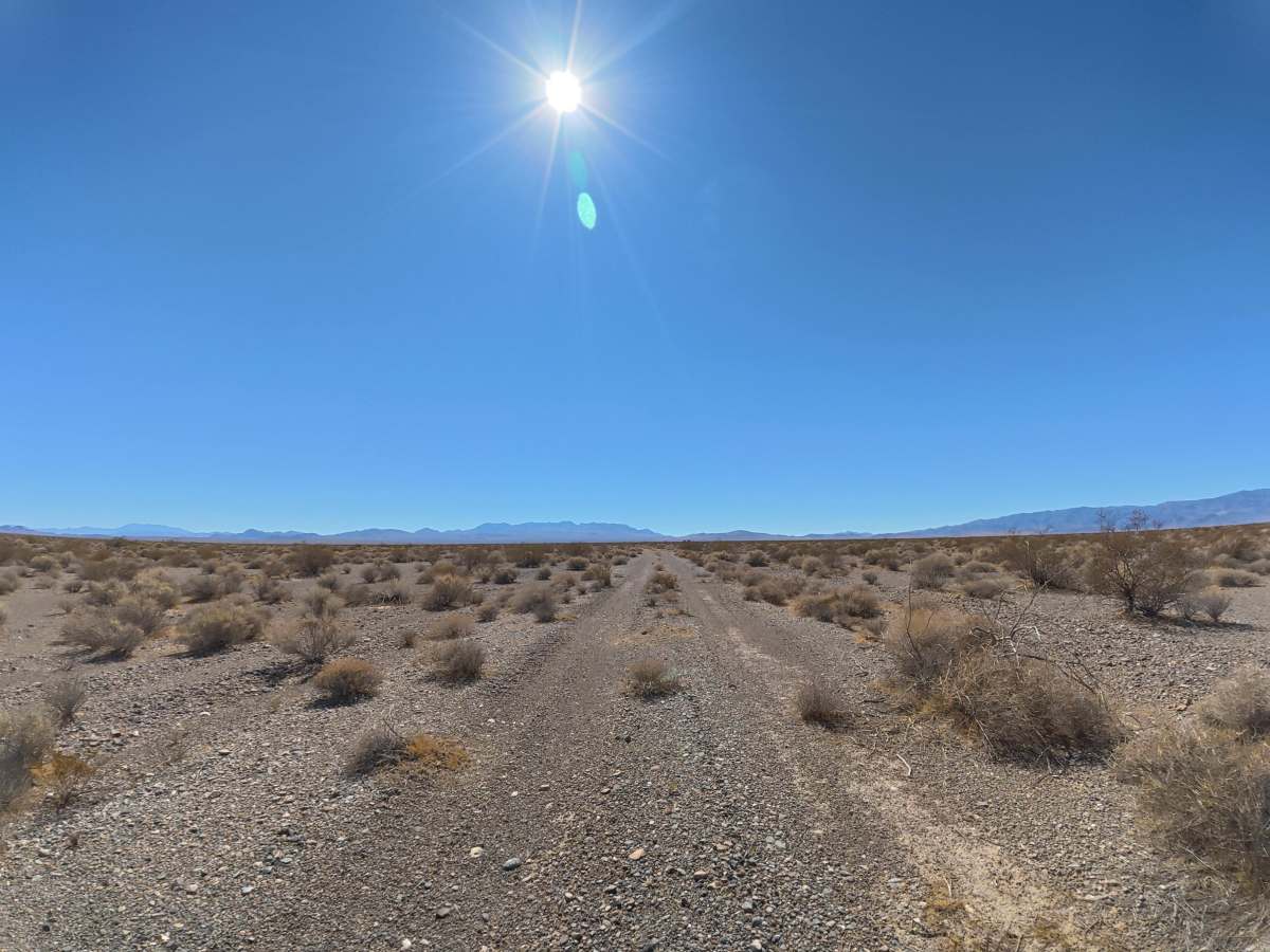
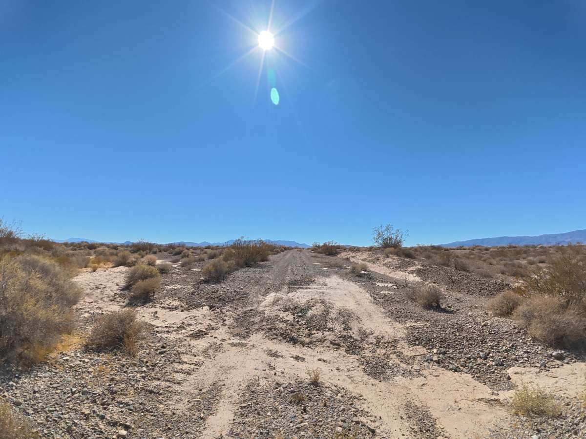
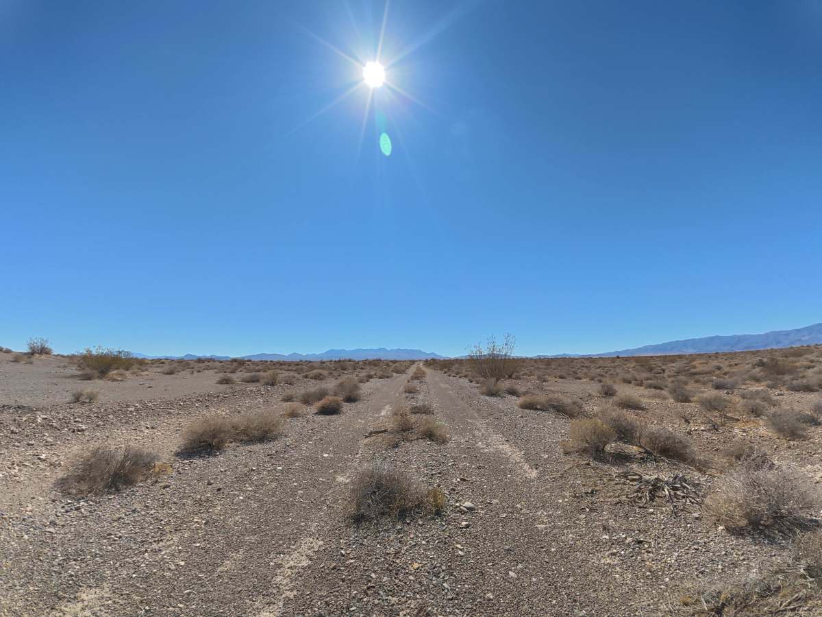
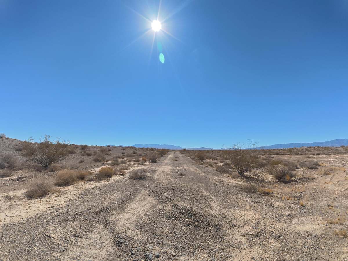
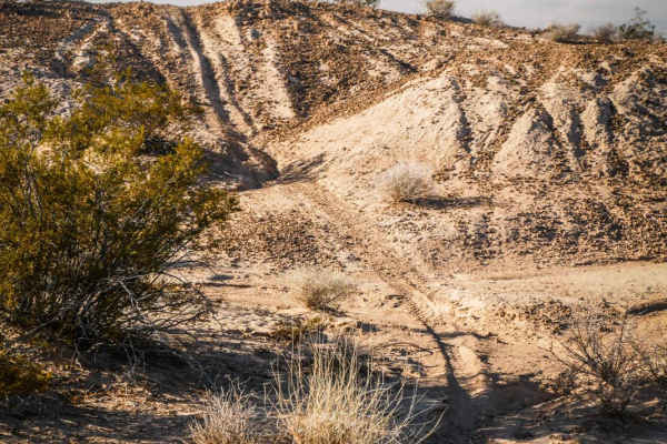
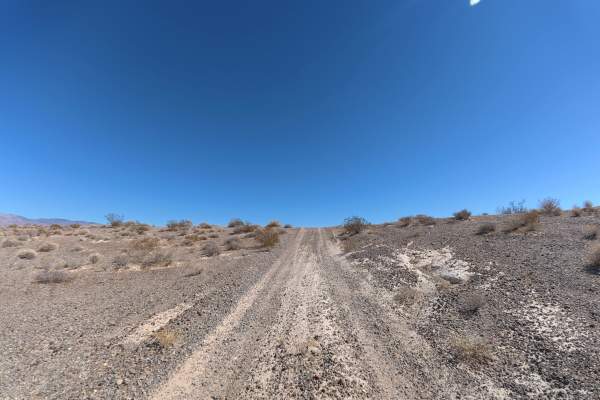
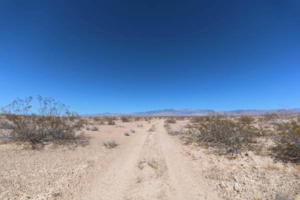
Tecopa Parallel runs alongside Tecopa Road over fine, loose dirt mixed with gravel that can become more difficult to drive when wet. The trail is wide enough for vehicles to pass and travels directly toward the surrounding mountain range, providing scenic views throughout the route. Camping is abundant, with numerous level campsites offering mountain views and room for up to six vehicles each. Around 1.4 miles in, overgrown vegetation becomes more common and may cause pinstriping or scrape the undercarriage if drivers are not careful. The trail eventually connects back with Tecopa Road, providing access to additional trails in the area.
History
The BLM lands south of Pahrump lie along historic travel corridors used by Indigenous peoples for generations and later by Spanish explorers, miners, ranchers, and settlers crossing the Mojave Desert. Portions of the nearby Old Spanish Trail became an important 19th-century trade route connecting settlements in New Mexico with Southern California, leaving the region with a long history of desert travel and exploration.