Trail Overview
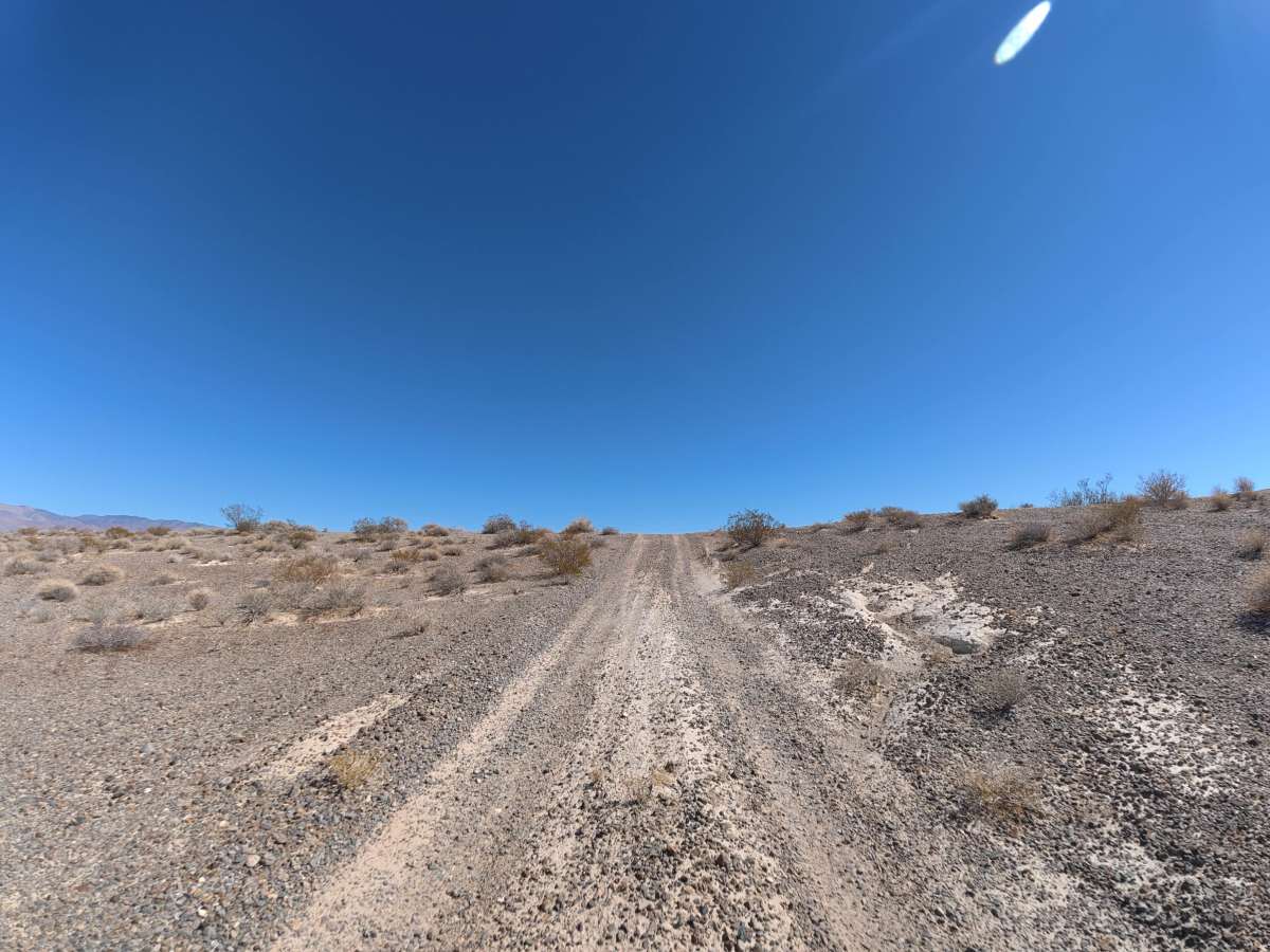
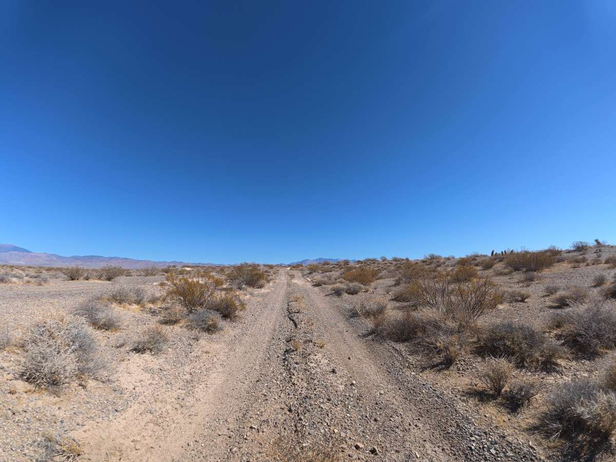
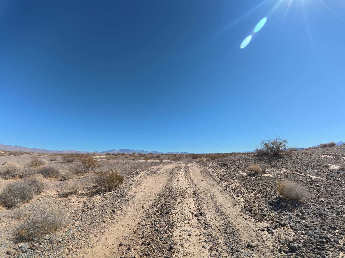
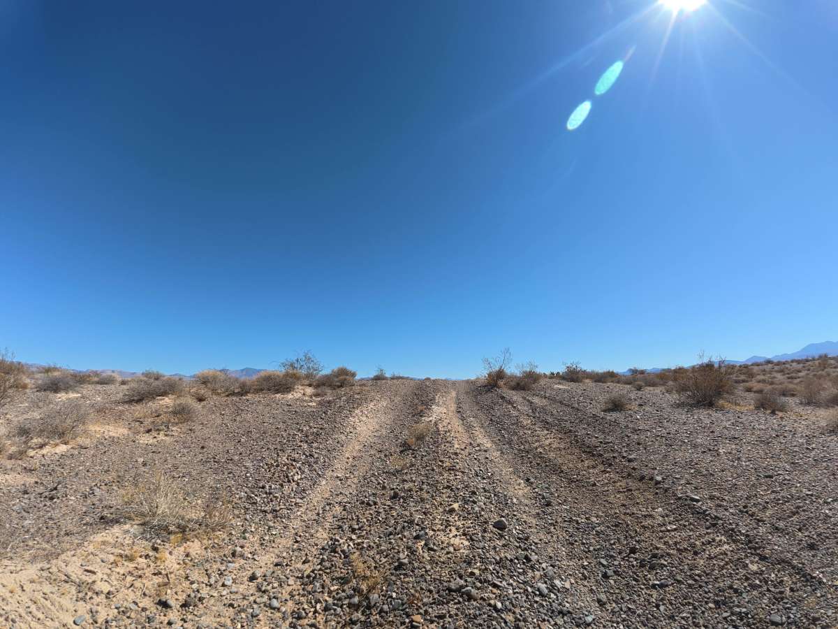
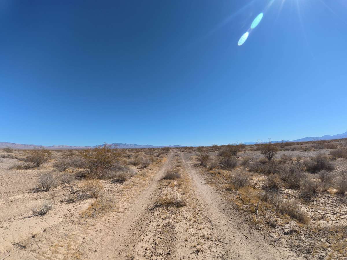
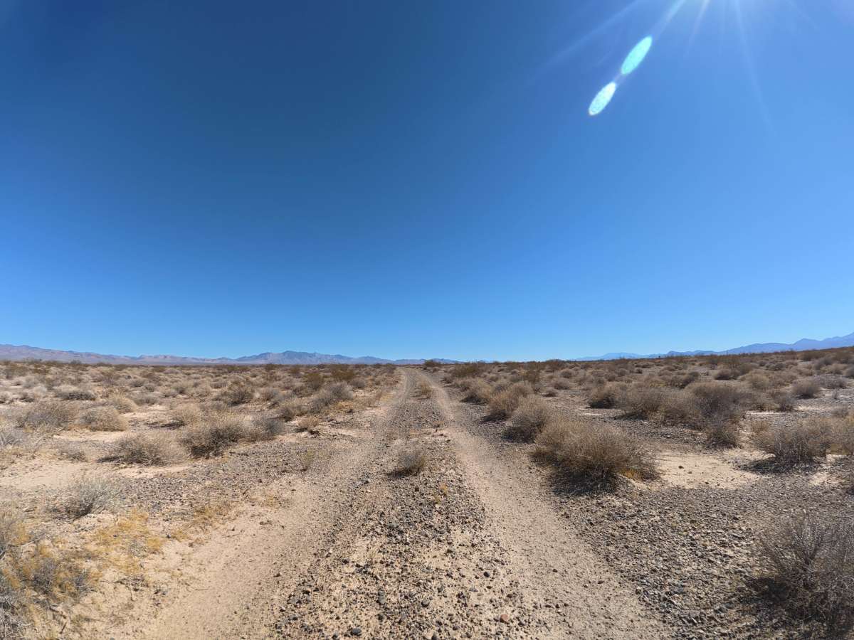
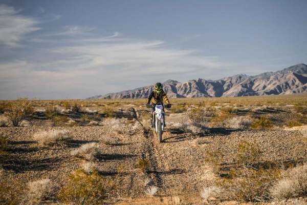
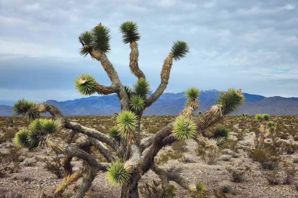
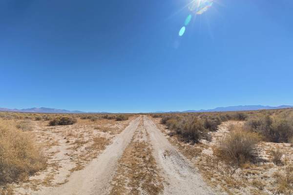
Old Spanish Connection travels from Front Sight Road through BLM land before connecting with Old Spanish Trail. The route consists of fine, loose dirt that can become more difficult when wet. Ruts remain around 5–6 inches deep, while repeated whoops reach approximately 14–18 inches tall. The trail provides scenic views of the surrounding mountains with abundant camping throughout. Multiple level campsites appear within the first 0.1 miles, with many additional sites along the route offering excellent mountain views.
Difficulty
This trail is rated Level 2 because of its loose surface, 5–6-inch ruts, and repeated 14–18-inch whoops. The terrain can be rough and bumpy but does not present major technical obstacles under normal dry conditions.
History
The BLM lands south of Pahrump lie along historic travel corridors used by Indigenous peoples for generations and later by Spanish explorers, miners, ranchers, and settlers crossing the Mojave Desert. Portions of the nearby Old Spanish Trail became an important 19th-century trade route connecting settlements in New Mexico with Southern California, leaving the region with a long history of desert travel and exploration.