Trail Overview
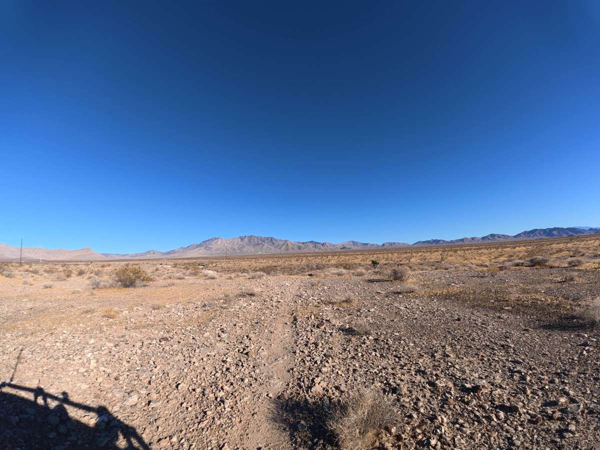
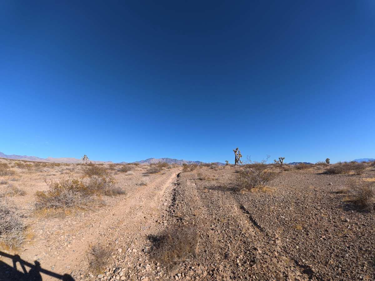
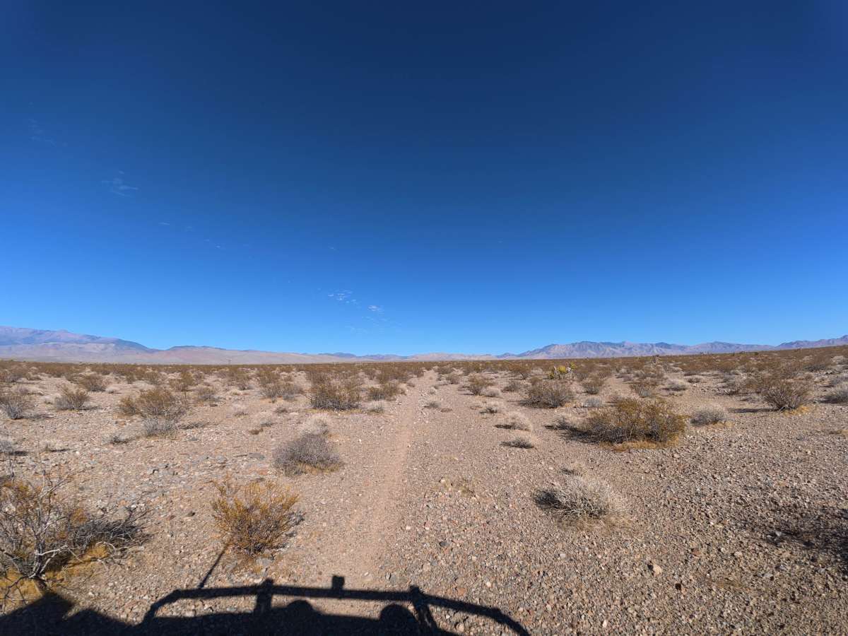
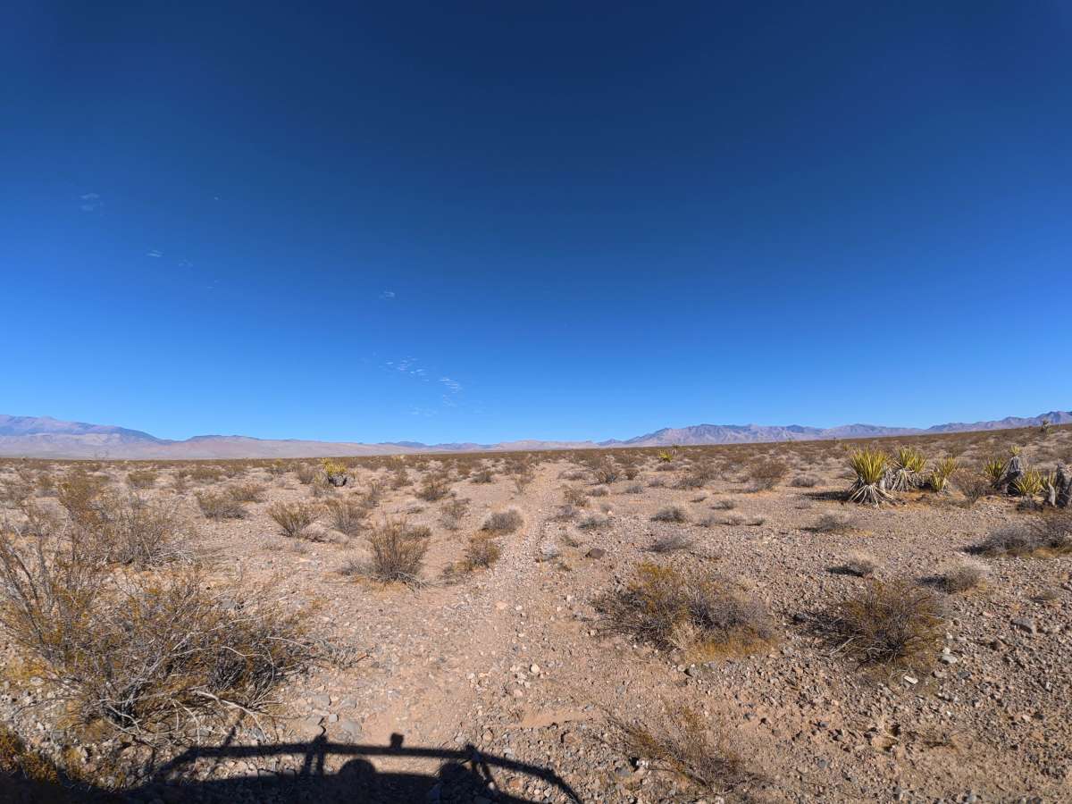
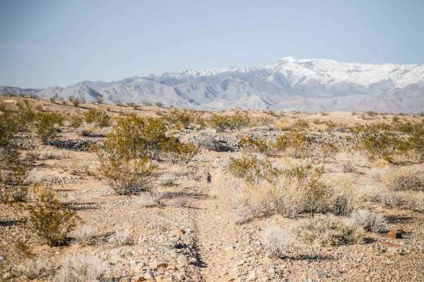
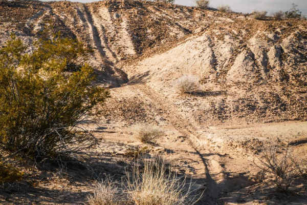
Pants East travels over fine, loose dirt that can become more difficult when wet. Frequent rock gardens contain 2–6-inch rocks, while numerous loose, rocky obstacles throughout the route reach 12–24 inches tall. 4WD or AWD is required due to the size and frequency of these obstacles.
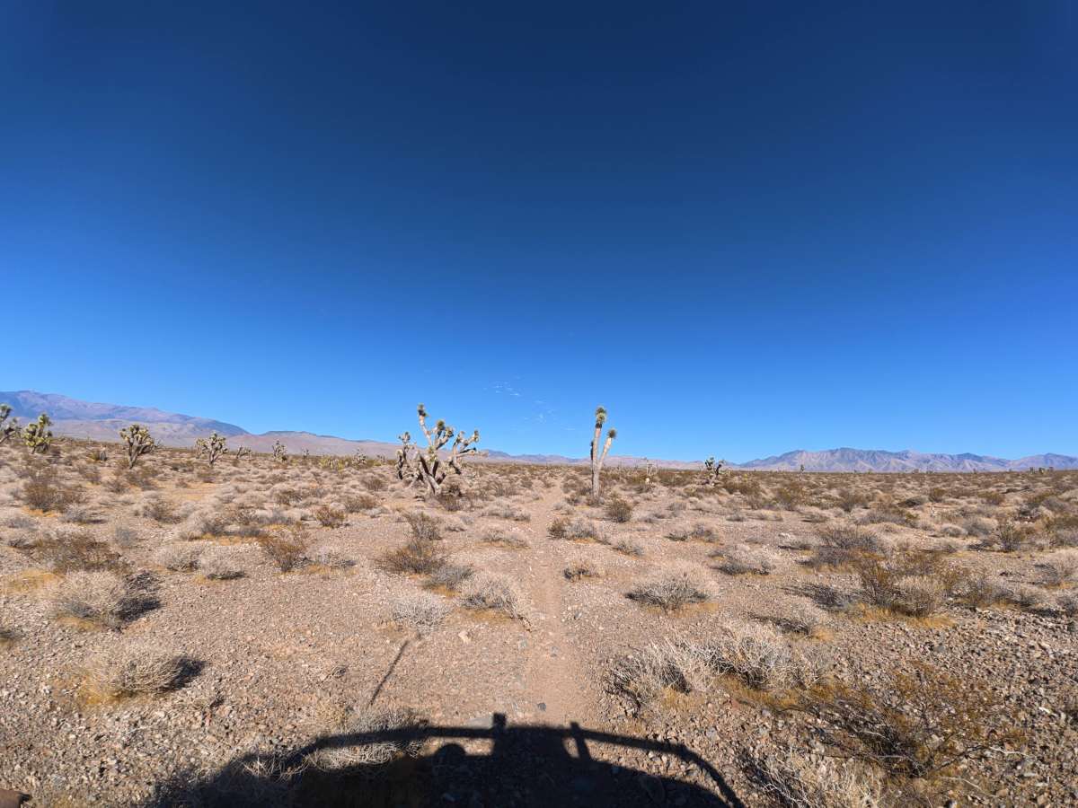
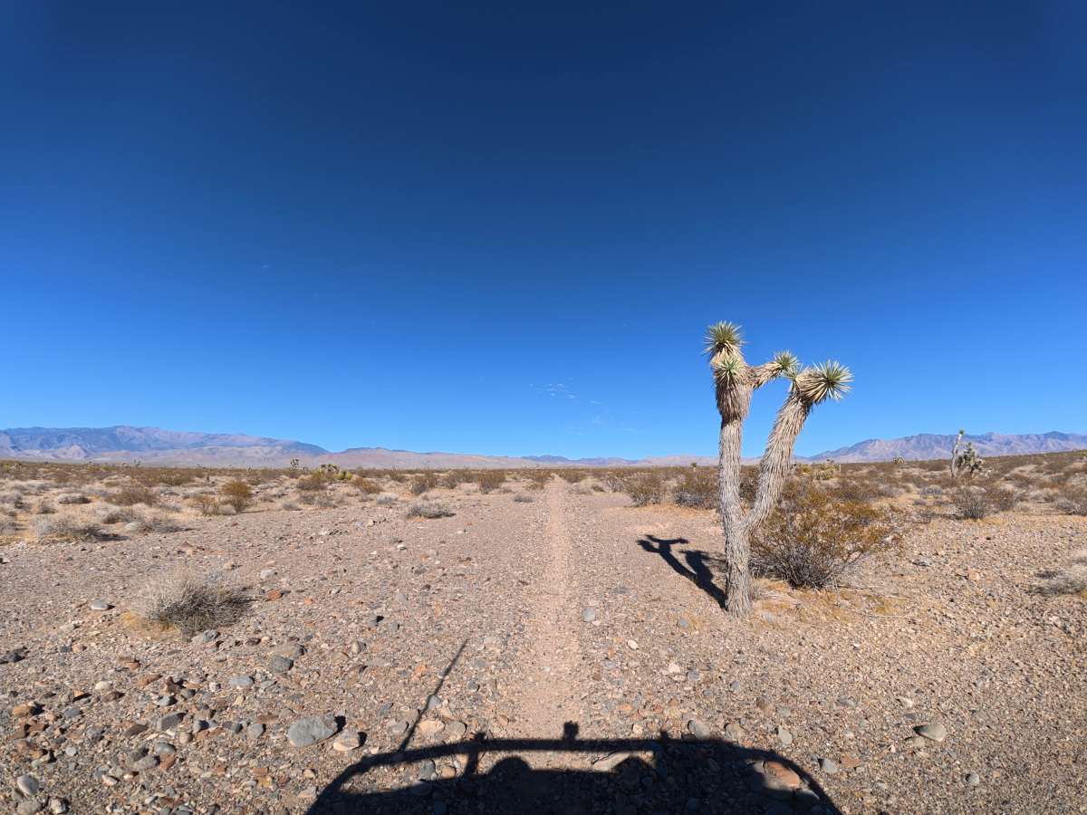
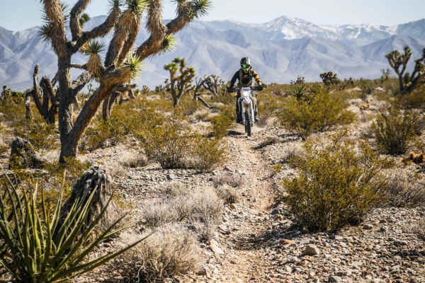
Camping is plentiful throughout, with numerous large, level, and scenic campsites. Unique cacti are also common along the route, with some growing very close to the trail, so drive carefully to avoid damaging them.
Difficulty
This trail is rated Level 4 because of its loose surface, frequent rock gardens, and repeated rocky obstacles reaching 12–24 inches. Careful tire placement and 4WD or AWD are required to navigate the larger obstacles.
History
The BLM lands south of Pahrump lie along historic travel corridors used by Indigenous peoples for generations and later by Spanish explorers, miners, ranchers, and settlers crossing the Mojave Desert. Portions of the nearby Old Spanish Trail became an important 19th-century trade route connecting settlements in New Mexico with Southern California, leaving the region with a long history of desert travel and exploration.