Trail Overview
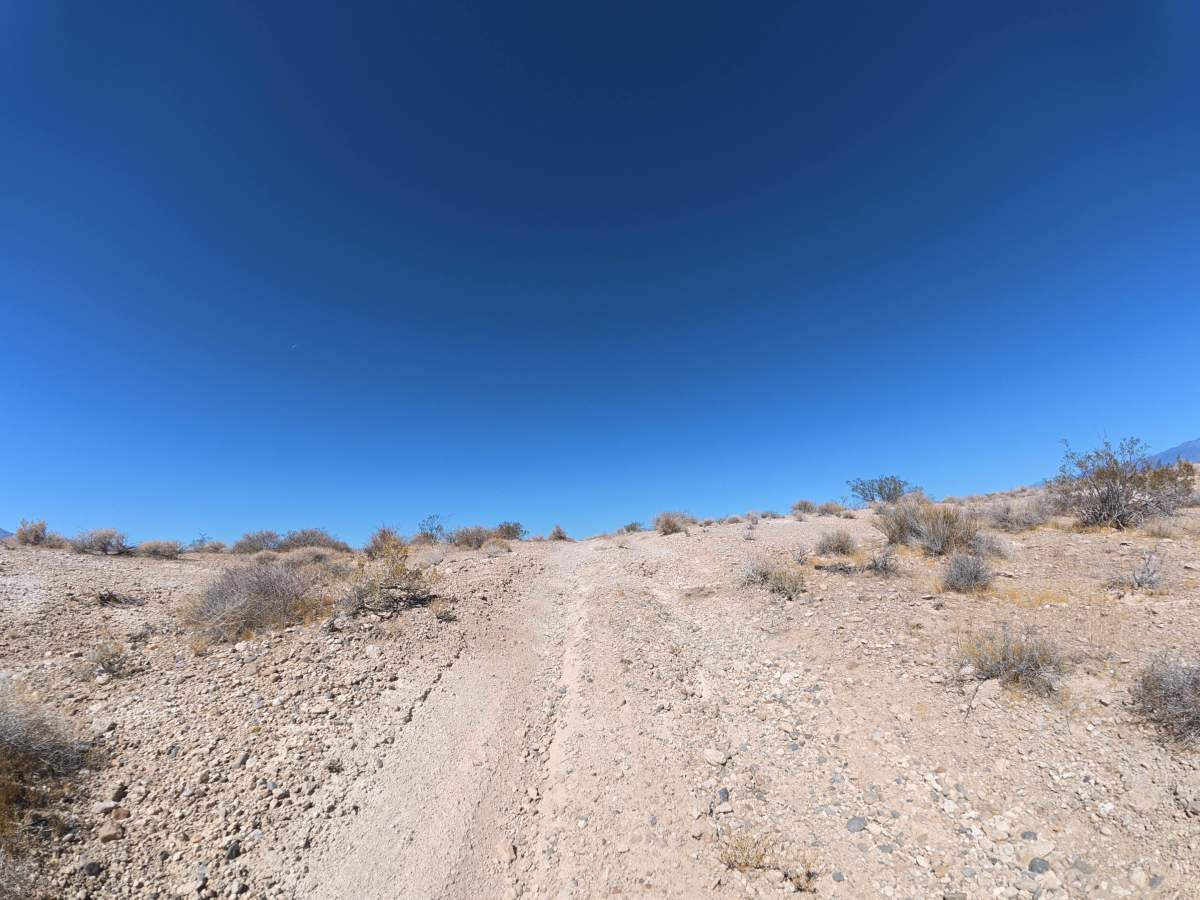
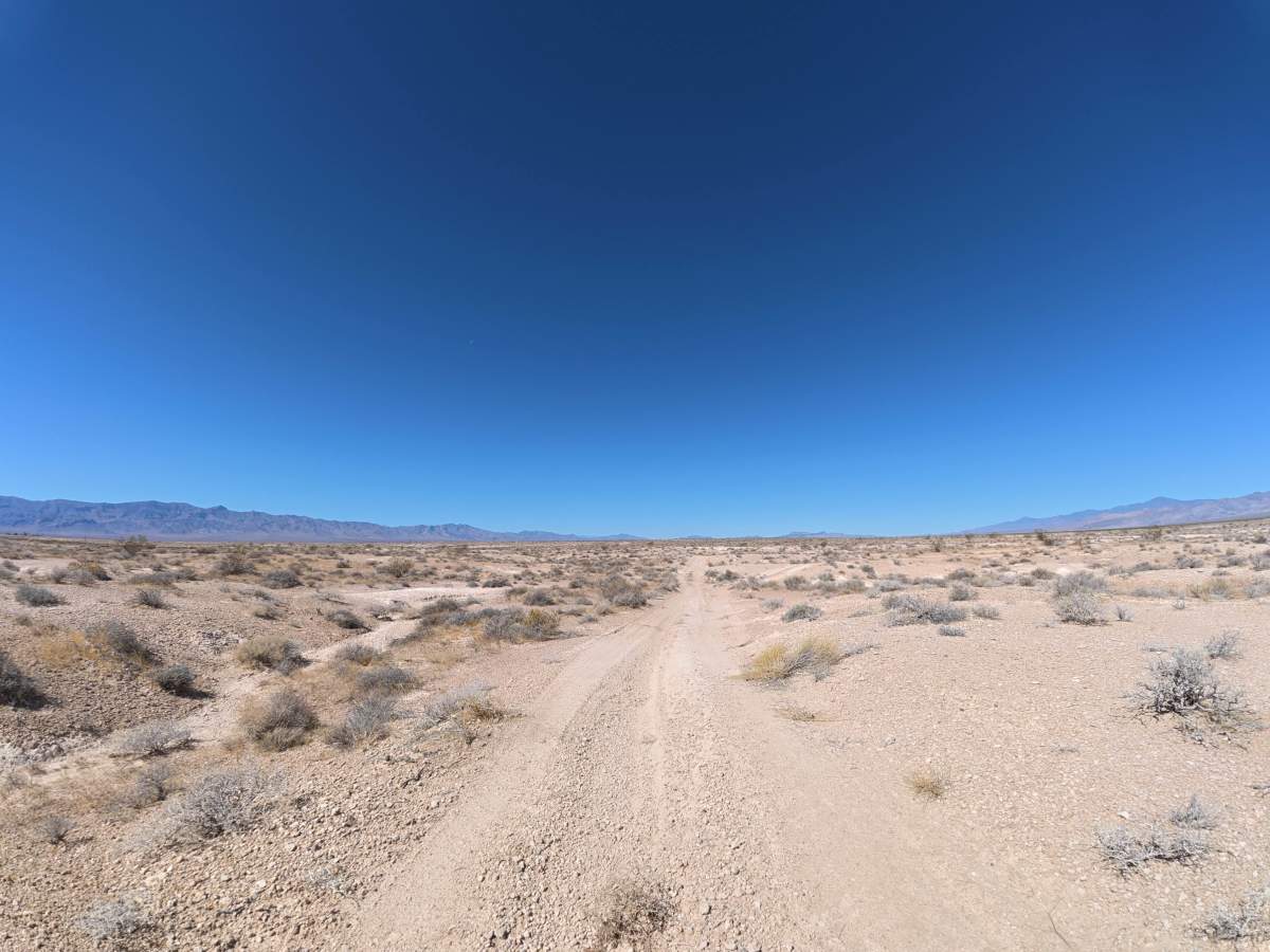
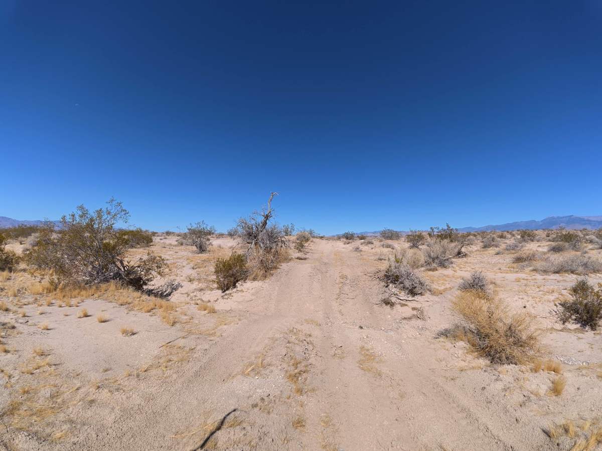
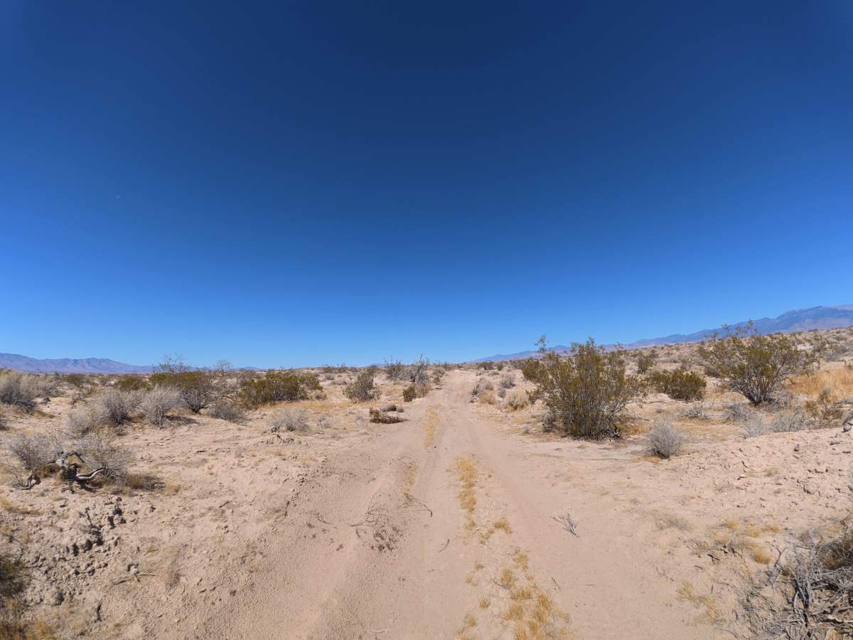
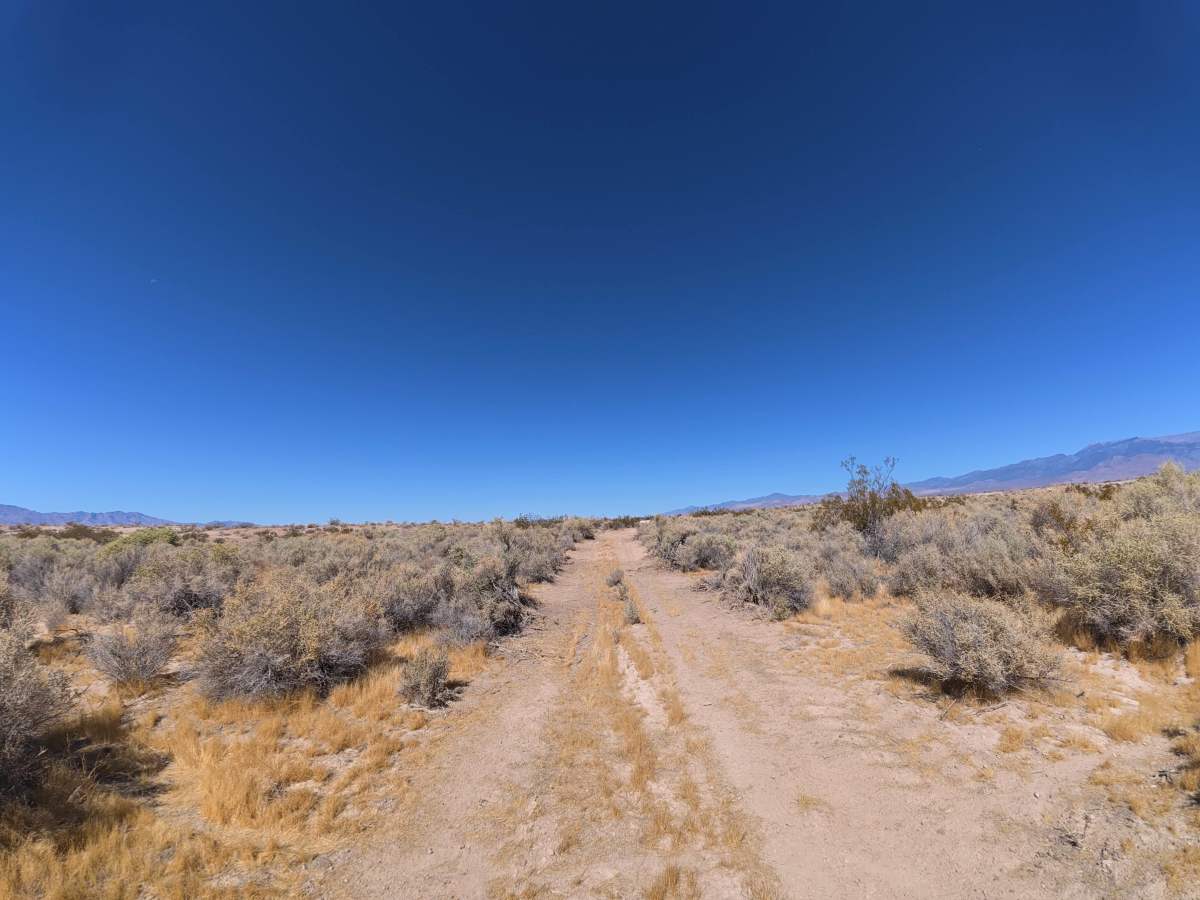
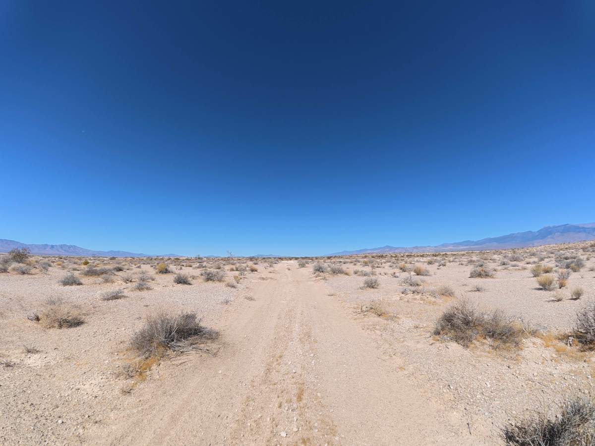
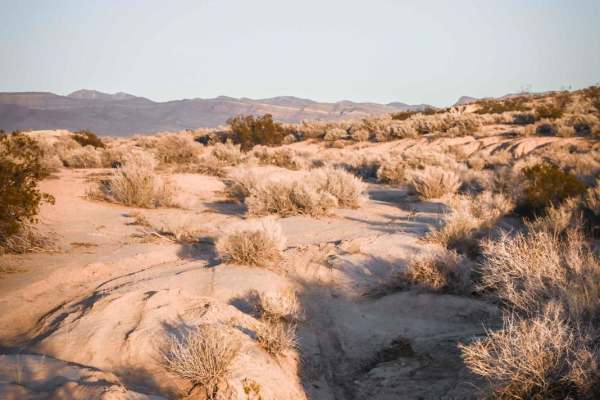
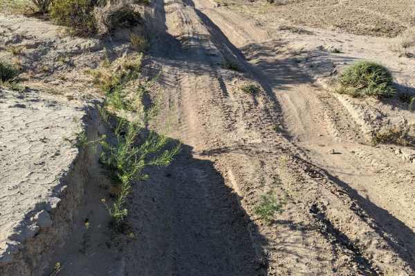
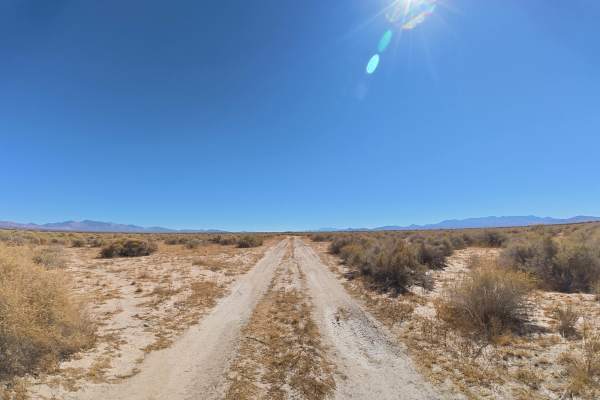
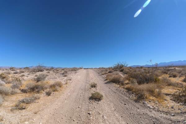
Placemark North travels over fine, loose dirt that can become more difficult when wet. Within the first 0.1 miles, several large washes require 4WD or AWD. Multiple rock ledges reach approximately 8 inches tall. Around 0.4 miles, the trail narrows with overgrown vegetation, although pinstriping is generally avoidable. The route offers scenic views of the surrounding mountains and abundant camping throughout. Numerous large, level campsites can accommodate approximately 10–20 vehicles each. The trail continues until connecting with Old Route 16.
Difficulty
This trail is rated Level 3 because of the large wash crossings, 8-inch rock ledges, loose surface, and narrower, overgrown sections. 4WD or AWD is required to navigate the washes.
History
The BLM lands south of Pahrump lie along historic travel corridors used by Indigenous peoples for generations and later by Spanish explorers, miners, ranchers, and settlers crossing the Mojave Desert. Portions of the nearby Old Spanish Trail became an important 19th-century trade route connecting settlements in New Mexico with Southern California, leaving the region with a long history of desert travel and exploration.