
Dirt Bike Trails
Near North Fort Lewis, Washington
Explore All Dirt Bike Trails Near North Fort Lewis, Washington
Dirt Bike Trails Near North Fort Lewis, Washington
Discover the best dirt bike trails near you. Browse trail maps, check difficulty ratings, and find your next adventure — whether you're looking for a quick ride or an all-day expedition.
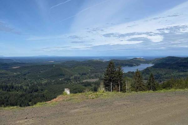
Rock Candy Trail
Rock Candy Trail is a trail system primarily for off-road vehicle and mountain bike riders, as well as hikers. The trail ascends to an open summit with views of the Olympia Mountains and the Puget Sound. Restroom at the trailhead. The trail runs through fast, flowy wooded sections, along with up and...
Learn more about Rock Candy Trail
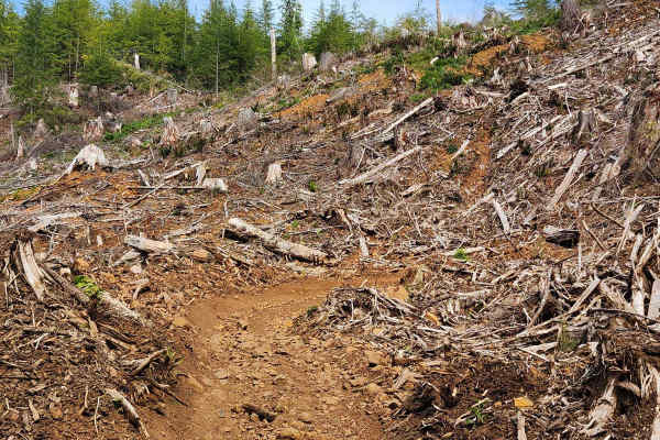
Rock Candy Trail
This section of the "Rock Candy Trail" takes you up an exposed face of Capitol Forest that was recently logged before bringing you back into the forest. Double track trail with tight switchbacks. Some steeper sections. Softball-sized rocks are scattered throughout the trail. When wet, the trail turn...
Learn more about Rock Candy Trail
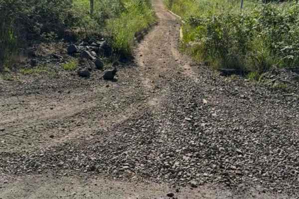
Rock Candy Trail
This trail is great for hiking, mountain biking, and off-road driving, and it's unlikely you'll encounter many other people while exploring. The trail can get muddy during the rainy season. There are many side trails along this route. Trail open to ATVing, E-Bike, Hiking, Motorcycling, and Mountai...
Learn more about Rock Candy Trail
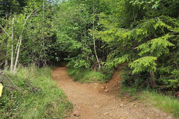
Divide Trail North
This is a short, steep, narrow double-track trail that cuts up the mountain. It starts out with sweeping turns and quickly turns to tight switchbacks. Expect lots of switchbacks, roots, rocks, and blind corners. Keeping momentum is key on this trail. About halfway up, there is a forest road that you...
Learn more about Divide Trail North
Rock Candy West
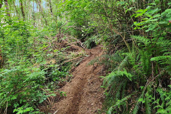
This trail starts as a double track but quickly becomes a narrow single track. This tight winding single track crosses over a small creek with several steeper sections with rocks and roots, and a couple of very narrow sections with technical obstacles. The trail is less frequently traveled, so low-h...
Learn more about Rock Candy West
Main Road Rock Candy
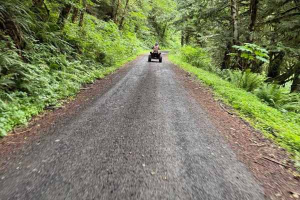
This road will take you to the Rock Candy Trailhead and will pass other parking on the way there. This is a Washington Department of Natural Resources road in a state forest that is open to all uses, including all motorsports, unless it is gated or signed as a non-motorized or motorcycle-only road.
Learn more about Main Road Rock Candy
West Waddell Basin Trail
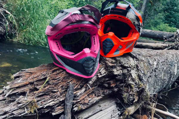
This is a great beginners' trail and still fun for novices. It follows a little bit of the creek and has a nice little spot to have a quick snack while sitting next to the creek. This will lead to other trails that lead into the capitol forest and also lead into East Waddell Basin Trail and back to ...
Learn more about West Waddell Basin Trail
Capitol Forest Tour
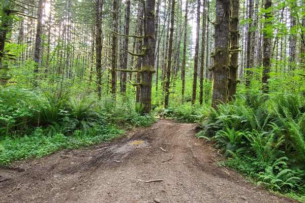
This is an easy trail if you stay on the main tracks--mostly gravel roads, with some asphalt mixed in. There are plenty of places to venture off the main track and find mud, tight technical spots, and some camp areas. It gets tight and slippery back there; I advise going with another vehicle or havi...
Learn more about Capitol Forest Tour
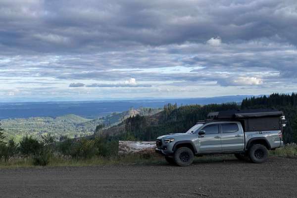
C-8000
The C-8000 Trail serves as a popular access route into and out of Capitol Forest from the east side and is well-suited for a variety of outdoor recreation activities. Open year-round, the trail can be enjoyed in all seasons, including winter when snow adds to the experience. The road is wide and wel...
Learn more about C-8000
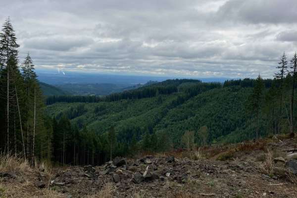
East Waddell Basin
Easternmost trail that runs between Middle Waddell, the Southernmost staging area, and Rock Candy, the Northernmost staging area. The trail runs through fast flowy wooded sections, along with up and down switchbacks in the trees and out in the clear cuts. The trail is mostly composed of clay dirt, w...
Learn more about East Waddell Basin
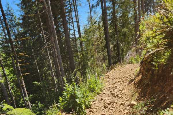
Slide
Short enduro-style trail that takes you through thick forest and onto the exposed mountainside. Rocks are scattered throughout the trail, making it challenging for new riders but perfect for a beginner-intermediate rider looking for a little more challenge. Sections of fast flow and slower technical...
Learn more about Slide

Larch Trail East
Larch Trail East connects the Rock Candy side of Capitol Forest with the intersection of Twin Peaks and Larch Trail West. Trail is flowy and weaves through forest and along an exposed ridge. Beautiful views of Capitol Forest in several places. Trail is easy enough for a beginner but can be ridden qu...
Learn more about Larch Trail East
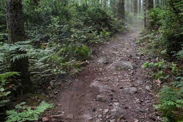
Derailleur
Derailleur is a 1.6-mile moderately easy singletrack trail that makes a loop off of Mission Creek Trail. It winds tightly through a dense forest with flowy but frequent curves, offering a fun and rhythmic ride. Some brushy areas reduce visibility, and riders should watch for a few larger root obstac...
Learn more about Derailleur
Twin Peaks Trail
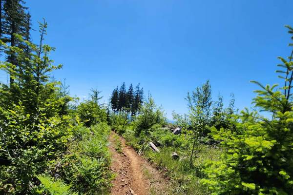
The Twin Peaks trail takes you up and down the mountains of Capitol Forest. Through thick treed forest, over exposed dirt and rocky terrain. The trail is an intermediate enduro-style trail. A mix of flow and slightly more technical terrain for a rider looking for a little more challenge without gett...
Learn more about Twin Peaks Trail
North Rim Trail #1
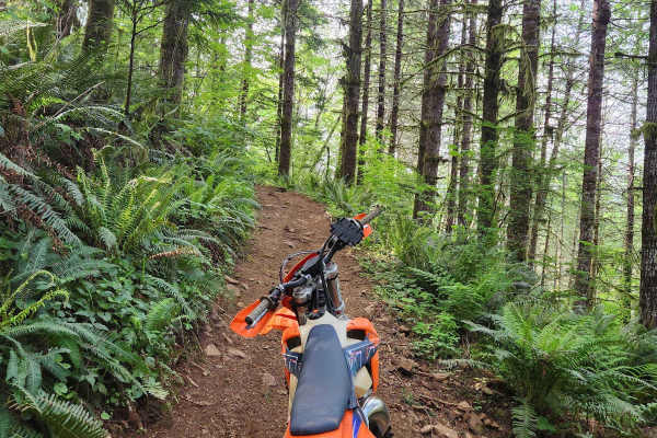
The North Rim Trail is a 3-part trail system. #1 starts right off the Rock Candy Staging area. This trail offers lots of diverse terrain to navigate. Switchbacks through the woods, dry rocky sections, fast flowy double track, jumps, and whoops. The trail can be wet and muddy in the rainy months. Thi...
Learn more about North Rim Trail #1
North Rim Trail #2
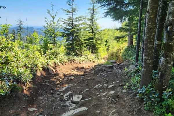
North Rim Trail #2 connects sections #1 and #3. Like those two trails, this trail has diverse terrain, some challenging obstacles, but is passable by most riders with basic skills. Not recommended for new riders. The trail weaves through thick forest and pops out into a clear-cut with beautiful view...
Learn more about North Rim Trail #2
NF 7720000
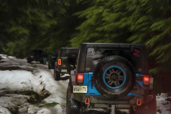
This is a forest road leading from Wilkeson up into the mountains. The trail starts off nice and wide (approx 3 car widths) and continues up varying paths that wiggle down to a single lane. There is a variety of terrain in this section from dirt, gravel, loose rock, and mud. At this point in the sea...
Learn more about NF 7720000
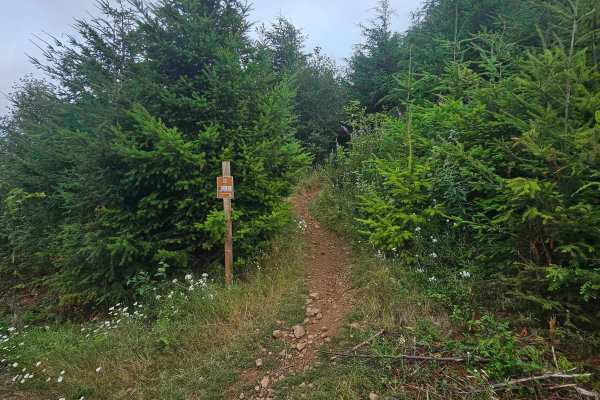
Loki
Loki is an easy but narrow single track trail. Trail can become overgrown depending on the time of year. A few small root obstacles but easy enough for new riders if trail brush has been cut back. There are several popular mountain bike trails throughout Loki, so beware of cyclists. Stay on designat...
Learn more about Loki

1.9 Mile
1.9 Mile is a primitive dirt bike trail weaving through dense pine trees and tight brush, with sharp turns and blind corners. It features small loose rocks and a few roots scattered across the path, as it winds through a logged area with piles of dead trees. The trail narrows into an overgrown grass...
Learn more about 1.9 Mile
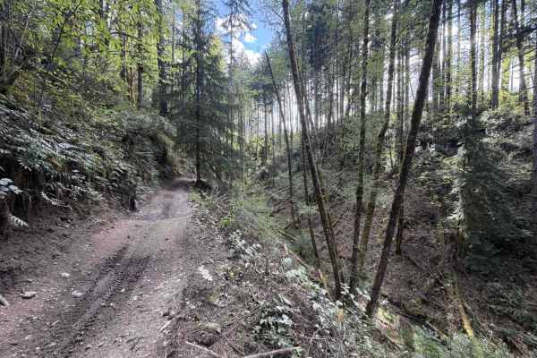
Mission Creek
This section of mission creek has some steep exposure that is clearly marked with caution signs. Keep in mind, Tahuya ORV park is 48” max width. The trail follows the river and weaves between the trees. You can expect exposed roots, tight trees, large rocks and whoops. The trail crosses a road a cou...
Learn more about Mission Creek
ATV trails near North Fort Lewis, Washington
Explore ATV-friendly trails near you. These trails are accessible for vehicles up to 50 inches wide, perfect for ATVs and smaller off-road machines.
Rock Candy Trail
Rock Candy Trail is a trail system primarily for off-road vehicle and mountain bike riders, as well as hikers. The trail ascends to an open summit with views of the Olympia Mountains and the Puget Sound. Restroom at the trailhead. The trail runs through fast, flowy wooded sections, along with up and...
Learn more about Rock Candy Trail
Rock Candy Trail
This section of the "Rock Candy Trail" takes you up an exposed face of Capitol Forest that was recently logged before bringing you back into the forest. Double track trail with tight switchbacks. Some steeper sections. Softball-sized rocks are scattered throughout the trail. When wet, the trail turn...
Learn more about Rock Candy Trail
Rock Candy Trail
This trail is great for hiking, mountain biking, and off-road driving, and it's unlikely you'll encounter many other people while exploring. The trail can get muddy during the rainy season. There are many side trails along this route. Trail open to ATVing, E-Bike, Hiking, Motorcycling, and Mountai...
Learn more about Rock Candy Trail
Divide Trail North
This is a short, steep, narrow double-track trail that cuts up the mountain. It starts out with sweeping turns and quickly turns to tight switchbacks. Expect lots of switchbacks, roots, rocks, and blind corners. Keeping momentum is key on this trail. About halfway up, there is a forest road that you...
Learn more about Divide Trail North
UTV/side-by-side trails near North Fort Lewis, Washington
Find UTV and side-by-side trails near you. These trails accommodate vehicles up to 60 inches wide, ideal for UTVs, side-by-sides, and wider off-road rigs.
Main Road Rock Candy
This road will take you to the Rock Candy Trailhead and will pass other parking on the way there. This is a Washington Department of Natural Resources road in a state forest that is open to all uses, including all motorsports, unless it is gated or signed as a non-motorized or motorcycle-only road.
Learn more about Main Road Rock Candy
Capitol Forest Tour
This is an easy trail if you stay on the main tracks--mostly gravel roads, with some asphalt mixed in. There are plenty of places to venture off the main track and find mud, tight technical spots, and some camp areas. It gets tight and slippery back there; I advise going with another vehicle or havi...
Learn more about Capitol Forest Tour
C-8000
The C-8000 Trail serves as a popular access route into and out of Capitol Forest from the east side and is well-suited for a variety of outdoor recreation activities. Open year-round, the trail can be enjoyed in all seasons, including winter when snow adds to the experience. The road is wide and wel...
Learn more about C-8000
NF 7720000
This is a forest road leading from Wilkeson up into the mountains. The trail starts off nice and wide (approx 3 car widths) and continues up varying paths that wiggle down to a single lane. There is a variety of terrain in this section from dirt, gravel, loose rock, and mud. At this point in the sea...
Learn more about NF 7720000
The onX Offroad Difference
onX Offroad combines trail photos, descriptions, difficulty ratings, width restrictions, seasonality, and more in a user-friendly interface. Available on all devices, with offline access and full compatibility with CarPlay and Android Auto. Discover what you're missing today!
Open Trail Map