
Dirt Bike Trails
Near Mountain City, Georgia
Explore All Dirt Bike Trails Near Mountain City, Georgia
Dirt Bike Trails Near Mountain City, Georgia
Discover the best dirt bike trails near you. Browse trail maps, check difficulty ratings, and find your next adventure — whether you're looking for a quick ride or an all-day expedition.
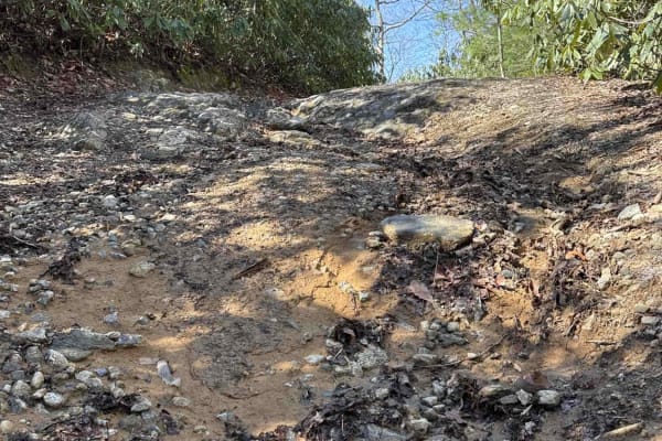
Darnell Creek - FR 150
Darnell Creek Trail takes you along the Darnell Creek. There are several hiking trails to breathtaking waterfalls along the river. The Darnell Shooting Range is 3 miles up the road. The trail is a gravel forestry road with some soft sand spots that can turn into mud holes after heavy rain and 2-3 fe...
Learn more about Darnell Creek - FR 150
Dan Gap - FS 155E
Dan Gap - FS 155E winds its way up Dan Ridge and runs north along its crest. This 1/10 trail is mostly gravel end to end, with a few tight turns and the occasional large rock. A few pull-offs along the route make for great dispersed campsites, and as you run the ridge north, the terrain drops away o...
Learn more about Dan Gap - FS 155E
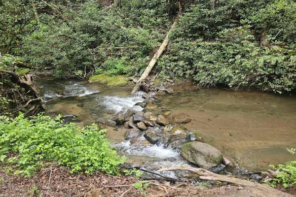
Tuckaluge Creek Road/153
This trail is an easy gravel ride that connects you to 155A. This trail can be completed in 2WD when dry, but it can get slick on the uphills after rain. There are 2 campsites along the trail. One of the campsites has a stream where can collect water or swim. There is more to this trail, but there i...
Learn more about Tuckaluge Creek Road/153

Sandy Ford
Sandy Ford is a short trail that holds an amazing surprise at the end. The road is regularly maintained; the biggest obstacle is a creek crossing that gets up to 18 inches deep but is passable by any truck or SUV. There are dispersed campsites along the route and if you're lucky to find it empty, th...
Learn more about Sandy Ford
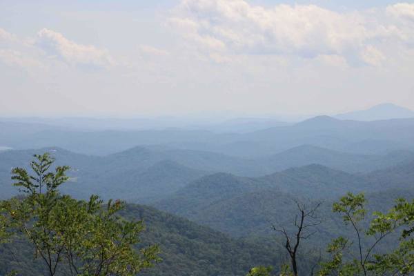
Steel Knob/Chestnut Mountain
Steel Knob/Chestnut Mountain is an out-and-back trail that takes you to the peak of Chestnut Mountain at an elevation of 3881ft. You will need high clearance 4WD to make it to peak. This trail can be tight at times so be prepared for possible pinstriping. Rocks and ledges are plenty and can be trick...
Learn more about Steel Knob/Chestnut Mountain
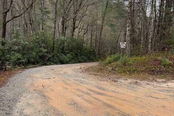
Billingsley Creek - FS 86B
Billingsley Creek - FS 86B branches off of the Georgia Traverse in the Chattahoochee National Forest. It is a gravel road with some 12-18" ruts. At the beginning, there are several large campsites right on Billingsley Creek. Please tread lightly, as the signage makes it clear others haven't done so ...
Learn more about Billingsley Creek - FS 86B
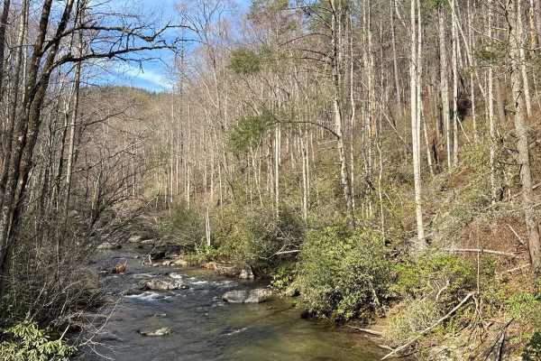
Tallulah River Trail - FR 70
Tallulah River Trail takes you from Persimmon Road to the Deep Gap/Beech Creek Trailhead in North Carolina. That trail takes you along the Tallulah River. There are several beautiful Campgrounds next to the water. You will cross Tatecity, a small mountain community, on your way. The trail is a grave...
Learn more about Tallulah River Trail - FR 70
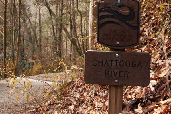
Woodall Shoals - Road 757
This trail leading to Woodall Shoals is the second-to-last rafting takeout along the Chattooga River. This maintained gravel road leads to the trailhead that leads to a perfect location to cool off in an Appalachian Mountain river. Make sure to only swim in the pools! Currents are very swift and kno...
Learn more about Woodall Shoals - Road 757
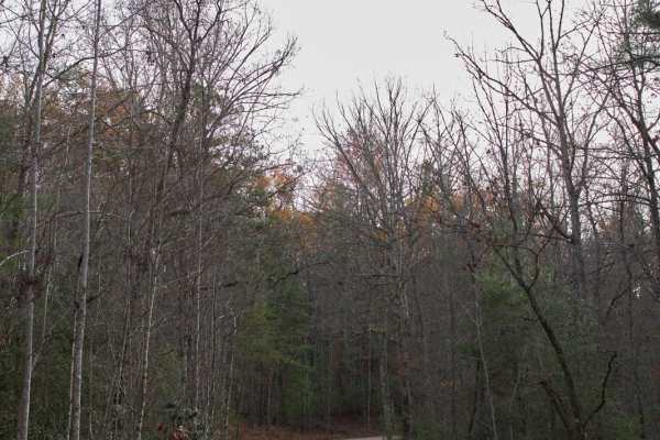
Chattooga River - FSR 769
This trail follows along one the the many Chattooga River plateau's that overlook the Wild and Scenic River. This is a maintained trail that is mostly gravel with many washboard sections. Camping is allowed in designated areas only which occur that the ends of many of the spur trails. This is a grea...
Learn more about Chattooga River - FSR 769
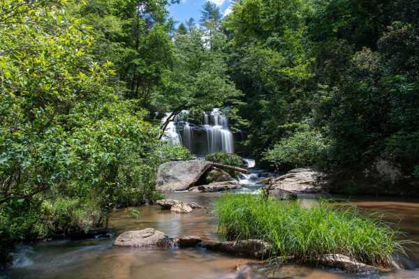
Long Creek Falls - FSR 757
This is the 4x4 segment of Turkey Ridge Road or FSR 757 to Long Creek Falls. This is a technical route that leads down to Long Creek Falls and an overlook over the Chattoga River. After rains the trail gets very muddy and slippery due to the red clay base road. During the Fall and Winter months the ...
Learn more about Long Creek Falls - FSR 757
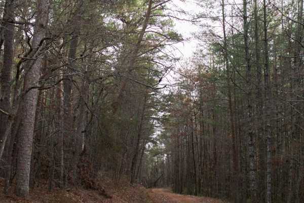
Fall Creek - FSR 722
This trail follows along one the the many Chattoga River plateau's that overlook the Wild and Scenic River. This is a maintained trail that is mostly gravel with many washboard sections. Camping is allowed in designated areas only which occur that the ends of many of the spur trails. This is a great...
Learn more about Fall Creek - FSR 722
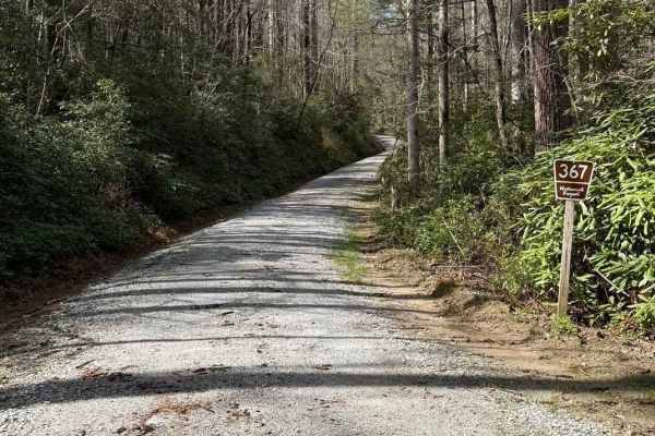
Little Yellow Mountain - FS 367
Little Yellow Mountain is a well-maintained gravel road that branches off of Blue Valley Road and connects to Clear Creek Road. It is wide enough for two vehicles most of the way. There are several campsites and minimal cell service. About halfway through, you will be treated to Brook Creek Falls vi...
Learn more about Little Yellow Mountain - FS 367
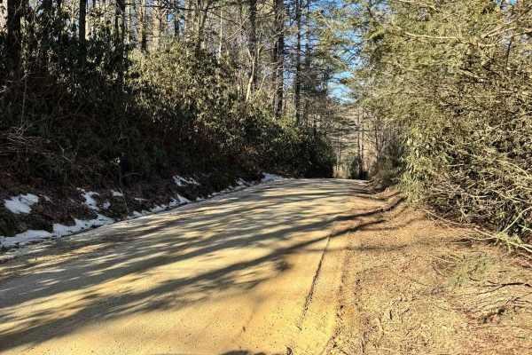
Blue Valley Road
Blue Valley Road winds through the scenic Blue Valley Experimental Forest near Highlands, North Carolina. Starting with a brief stretch of pavement, the road quickly transitions to gravel, passing scattered homes before opening into a serene stretch of dispersed campsites. From here, the road offers...
Learn more about Blue Valley Road
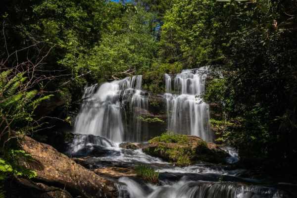
Long Creek Falls - RD 755
Long Creek Falls - RD 755 is an easy, scenic 2.9-mile gravel road perfect for beginners and scenic cruisers, leading directly to the trailhead of one of the Chattooga River's most iconic waterfalls. This route begins off the main highway and winds through the beautiful Blue Ridge Mountains, offering...
Learn more about Long Creek Falls - RD 755
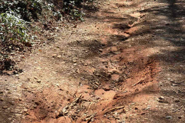
Crow Creek - FS 27
The Crow Creek trail, also known as FS 27, takes you from the West Seed Lake Road along the Crow Creek to a hiking trail to the Crow Creek Falls and primitive campsites along the creek. It is a gravel forestry road with some soft sand spots that can turn into 2-foot deep mud holes after heavy rain. ...
Learn more about Crow Creek - FS 27
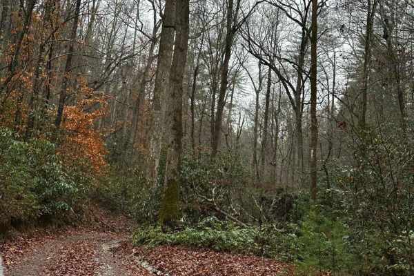
Falls Branch Road - FSR 2
Falls Branch Road is an out-and-back trail that takes roughly 1 Hour to complete. The trail is mostly single-vehicle wide with a few spots to pass if needed. The trail has a few ruts and rocks that could be tricky when wet. Overall, 4WD should not be needed unless wet. The trail ends in an area that...
Learn more about Falls Branch Road - FSR 2
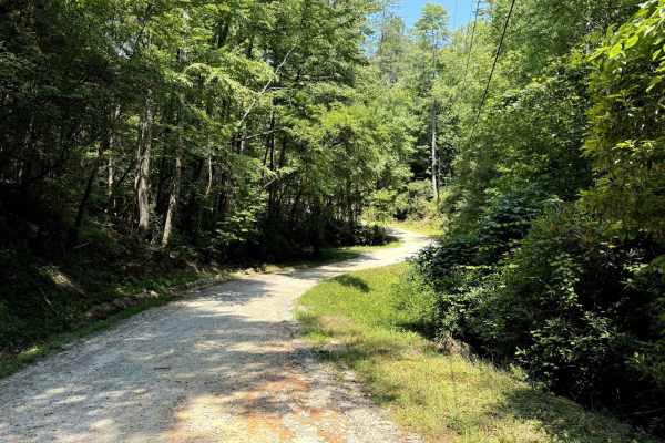
West Seed Lake Road
A beautiful gravel road along the west side of Seed Lake. The road is well-maintained and usually wide enough for two cars to pass. The Lake Seed Recreation Area offers a swimming area for kids and adults and several picnic sites with tables and fire pits. Restrooms with changing rooms are available...
Learn more about West Seed Lake Road
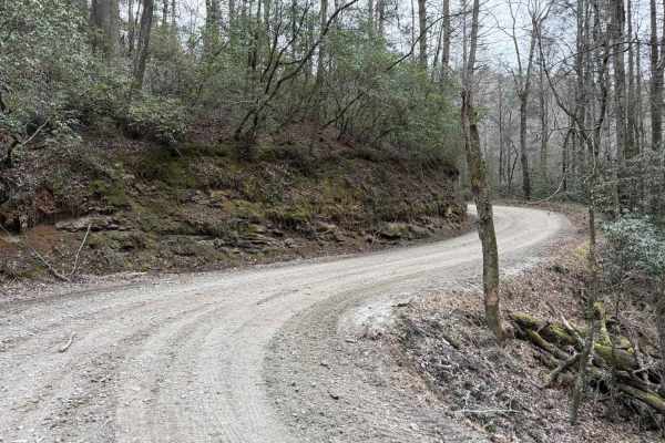
Bear Gap Road
The Bear Gap Road connects the Orchard Road at the east end and the Low Gap Road at the west end of the trail. The road takes you along the Tallulah River and gives you access to some hiking trails to local waterfalls. It is a gravel forestry road with some soft sand spots that can turn into mud hol...
Learn more about Bear Gap Road
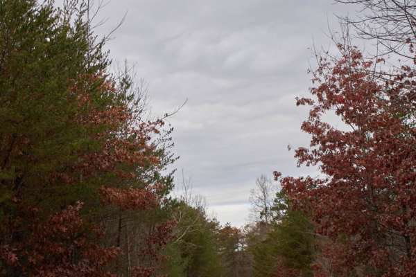
Lake Tugaloo (Bull Sluice Road)
Lake Tugaloo is a gravel road that descends through the scenic Chattahoochee National Forest to the shores of Lake Tugaloo on the Georgia-South Carolina border. Perfect for stock SUVs, overland rigs, and vehicles towing trailers, this roughly 3.9-mile trail offers a smooth but winding drive. The pat...
Learn more about Lake Tugaloo (Bull Sluice Road)
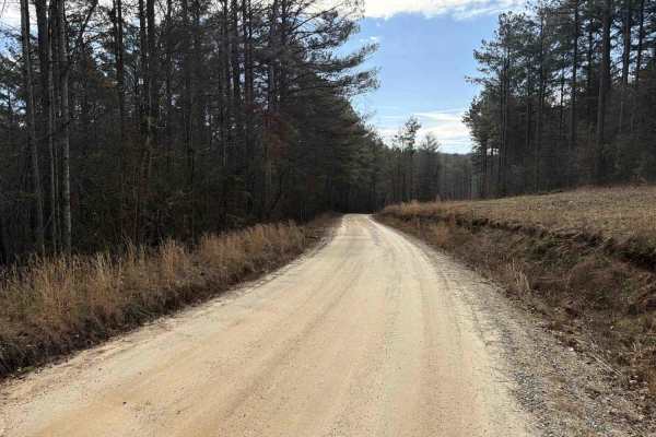
COL Hough Road
COL Hough Road connects US Route 23 at the east end and the Bear Gap Road at the west end of the trail. It is a gravel forestry road with some soft sand spots that can turn into 2-foot deep mud holes after heavy rain. The road is not always wide enough for two vehicles to pass. 4WD and High-Clearanc...
Learn more about COL Hough Road
ATV trails near Mountain City, Georgia
Explore ATV-friendly trails near you. These trails are accessible for vehicles up to 50 inches wide, perfect for ATVs and smaller off-road machines.
Darnell Creek - FR 150
Darnell Creek Trail takes you along the Darnell Creek. There are several hiking trails to breathtaking waterfalls along the river. The Darnell Shooting Range is 3 miles up the road. The trail is a gravel forestry road with some soft sand spots that can turn into mud holes after heavy rain and 2-3 fe...
Learn more about Darnell Creek - FR 150
Tuckaluge Creek Road/153
This trail is an easy gravel ride that connects you to 155A. This trail can be completed in 2WD when dry, but it can get slick on the uphills after rain. There are 2 campsites along the trail. One of the campsites has a stream where can collect water or swim. There is more to this trail, but there i...
Learn more about Tuckaluge Creek Road/153
Steel Knob/Chestnut Mountain
Steel Knob/Chestnut Mountain is an out-and-back trail that takes you to the peak of Chestnut Mountain at an elevation of 3881ft. You will need high clearance 4WD to make it to peak. This trail can be tight at times so be prepared for possible pinstriping. Rocks and ledges are plenty and can be trick...
Learn more about Steel Knob/Chestnut Mountain
Billingsley Creek - FS 86B
Billingsley Creek - FS 86B branches off of the Georgia Traverse in the Chattahoochee National Forest. It is a gravel road with some 12-18" ruts. At the beginning, there are several large campsites right on Billingsley Creek. Please tread lightly, as the signage makes it clear others haven't done so ...
Learn more about Billingsley Creek - FS 86B
UTV/side-by-side trails near Mountain City, Georgia
Find UTV and side-by-side trails near you. These trails accommodate vehicles up to 60 inches wide, ideal for UTVs, side-by-sides, and wider off-road rigs.
Darnell Creek - FR 150
Darnell Creek Trail takes you along the Darnell Creek. There are several hiking trails to breathtaking waterfalls along the river. The Darnell Shooting Range is 3 miles up the road. The trail is a gravel forestry road with some soft sand spots that can turn into mud holes after heavy rain and 2-3 fe...
Learn more about Darnell Creek - FR 150
Dan Gap - FS 155E
Dan Gap - FS 155E winds its way up Dan Ridge and runs north along its crest. This 1/10 trail is mostly gravel end to end, with a few tight turns and the occasional large rock. A few pull-offs along the route make for great dispersed campsites, and as you run the ridge north, the terrain drops away o...
Learn more about Dan Gap - FS 155E
Tuckaluge Creek Road/153
This trail is an easy gravel ride that connects you to 155A. This trail can be completed in 2WD when dry, but it can get slick on the uphills after rain. There are 2 campsites along the trail. One of the campsites has a stream where can collect water or swim. There is more to this trail, but there i...
Learn more about Tuckaluge Creek Road/153
Sandy Ford
Sandy Ford is a short trail that holds an amazing surprise at the end. The road is regularly maintained; the biggest obstacle is a creek crossing that gets up to 18 inches deep but is passable by any truck or SUV. There are dispersed campsites along the route and if you're lucky to find it empty, th...
Learn more about Sandy Ford
The onX Offroad Difference
onX Offroad combines trail photos, descriptions, difficulty ratings, width restrictions, seasonality, and more in a user-friendly interface. Available on all devices, with offline access and full compatibility with CarPlay and Android Auto. Discover what you're missing today!
Open Trail Map