Trail Overview
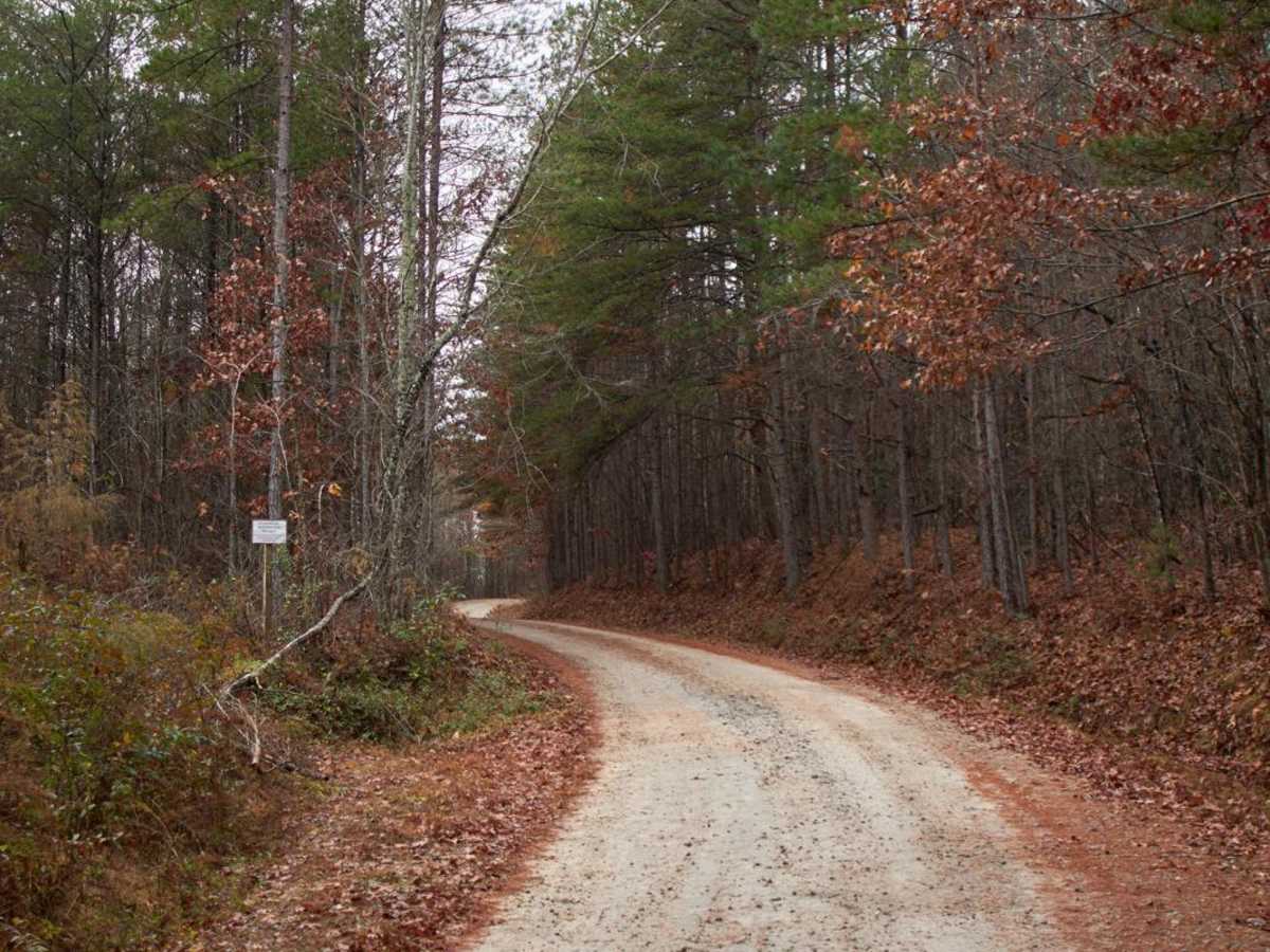
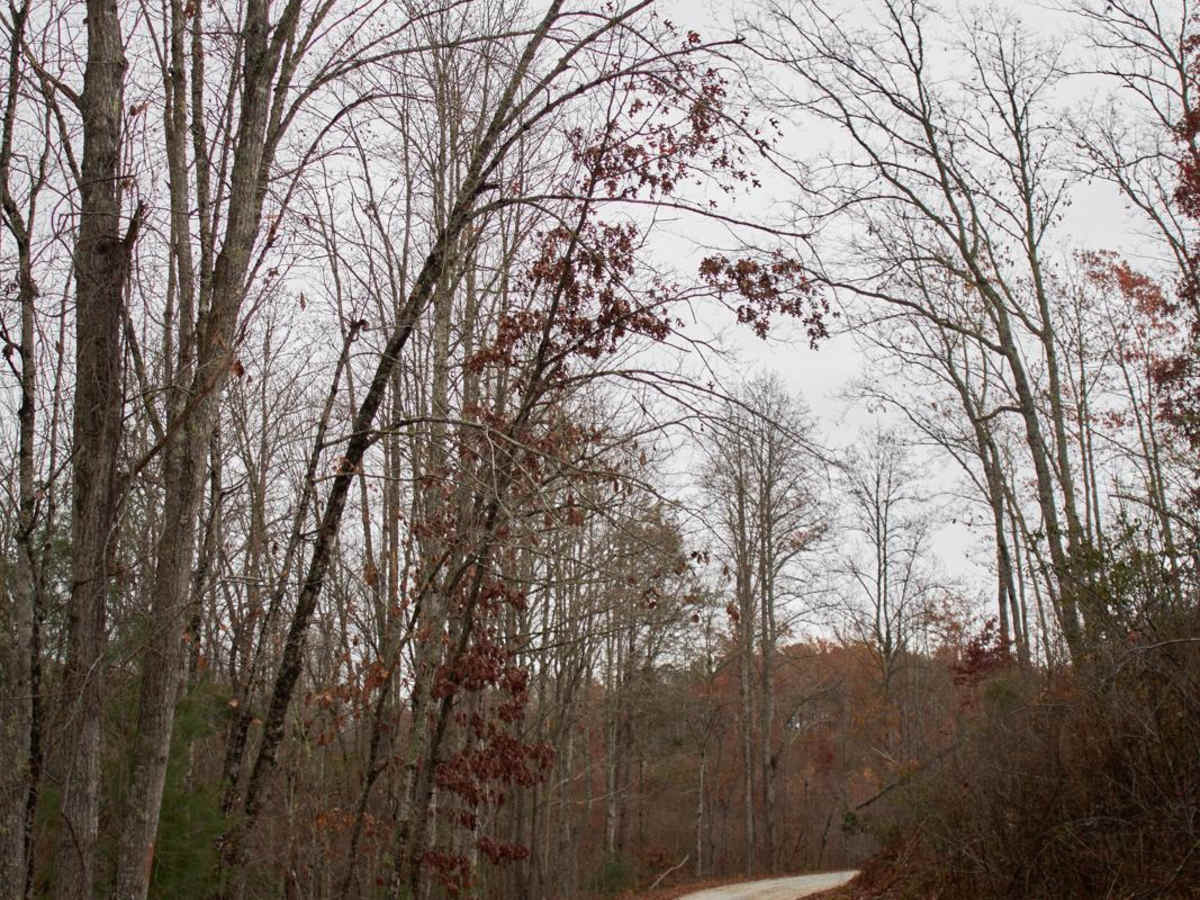
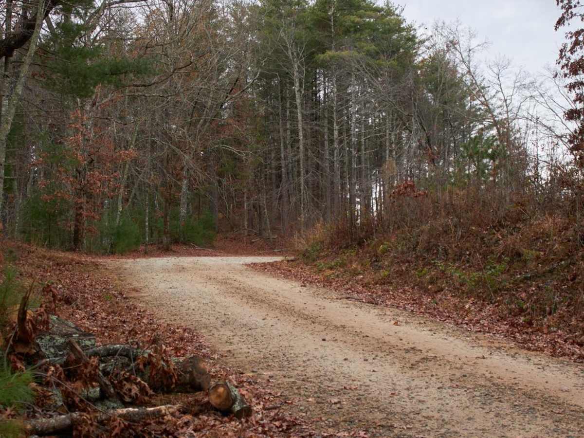
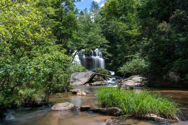
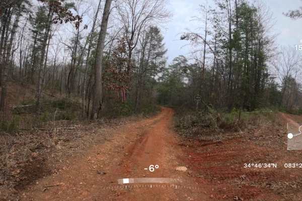
Long Creek Falls - RD 755 is an easy, scenic 2.9-mile gravel road perfect for beginners and scenic cruisers, leading directly to the trailhead of one of the Chattooga River's most iconic waterfalls. This route begins off the main highway and winds through the beautiful Blue Ridge Mountains, offering stunning vistas and frequent sightings of local wildlife, including whitetail deer and hawks. The road features a maintained gravel surface with an average grade of less than 3 degrees, making it highly accessible for standard passenger vehicles, SUVs, and SxSs. Rising from 1,486 feet to a peak elevation of 1,664 feet, the drive accumulates just 187 feet of climbing over its duration, with minor washboards or small washouts being the only minor obstacles to expect after busy summer seasons.
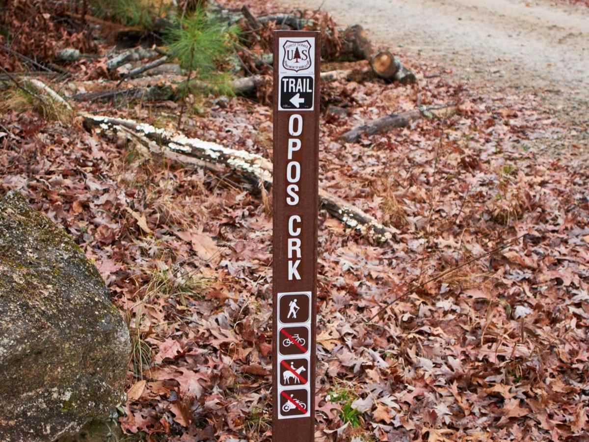
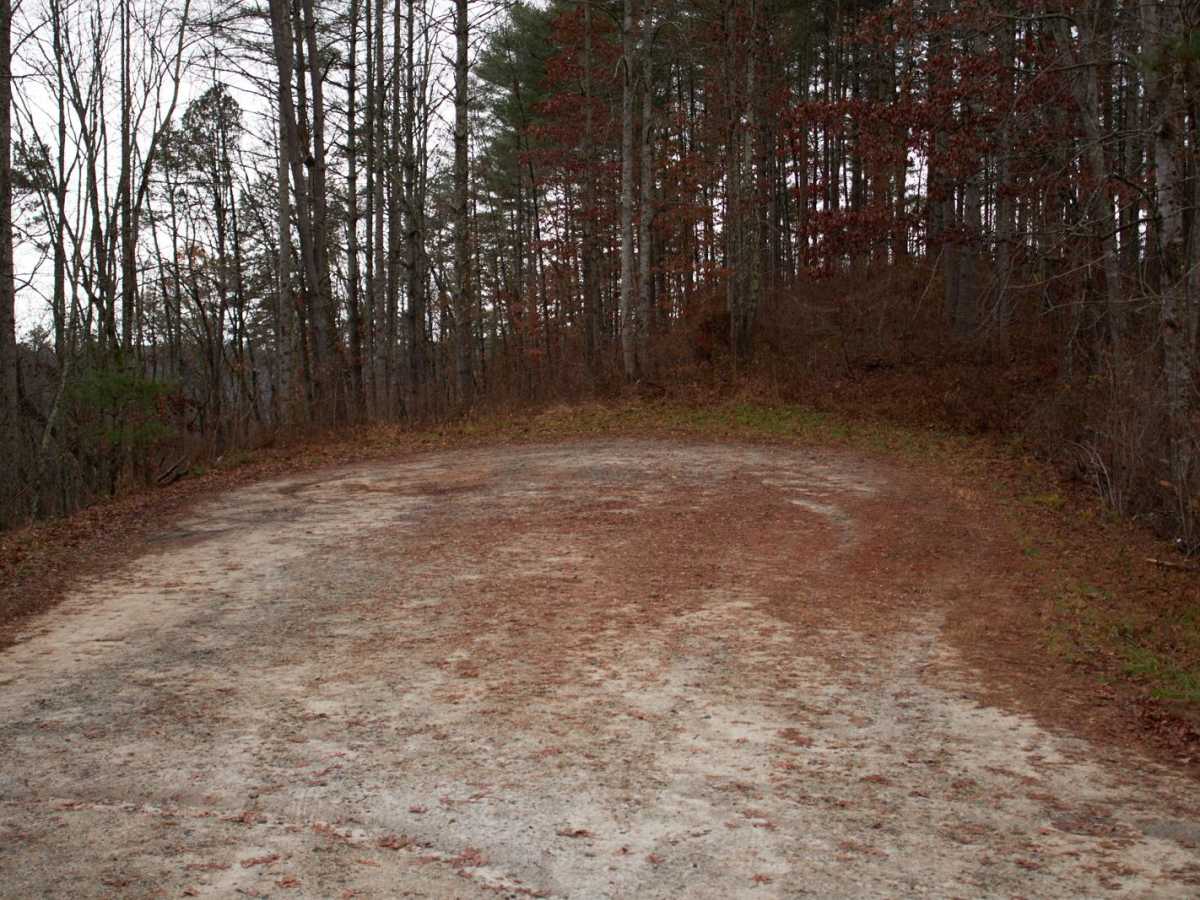
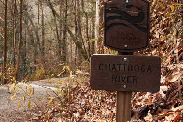
At the end of this main route, offroaders will reach a large parking area serving as the primary trailhead for the hike to Long Creek Falls, which is normally a four-mile round-trip excursion. For those equipped with high-clearance four-wheel-drive vehicles, an additional rugged spur trail continues past this point, allowing drivers to bypass over a mile of the foot travel required to reach the water. The surrounding area offers incredible views of the wild and scenic Chattooga River corridor, situated on the border of South Carolina and Georgia. Whether planning a day hike to the spectacular cascading falls or simply seeking a relaxing mountain drive with expansive forest views, this route delivers a highly rewarding, low-difficulty Appalachian experience.
Access Description
The road is managed by the United States Forest Service as part of the Andrew Pickens Ranger District within Sumter National Forest. No permits or day-use fees are required to access this route or the parking area at the trailhead. Drivers must remain on designated roads, and vehicles must be street-legal or comply with South Carolina off-highway vehicle regulations.



 Offroad