Trail Overview
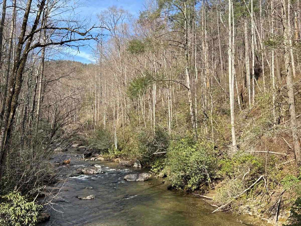
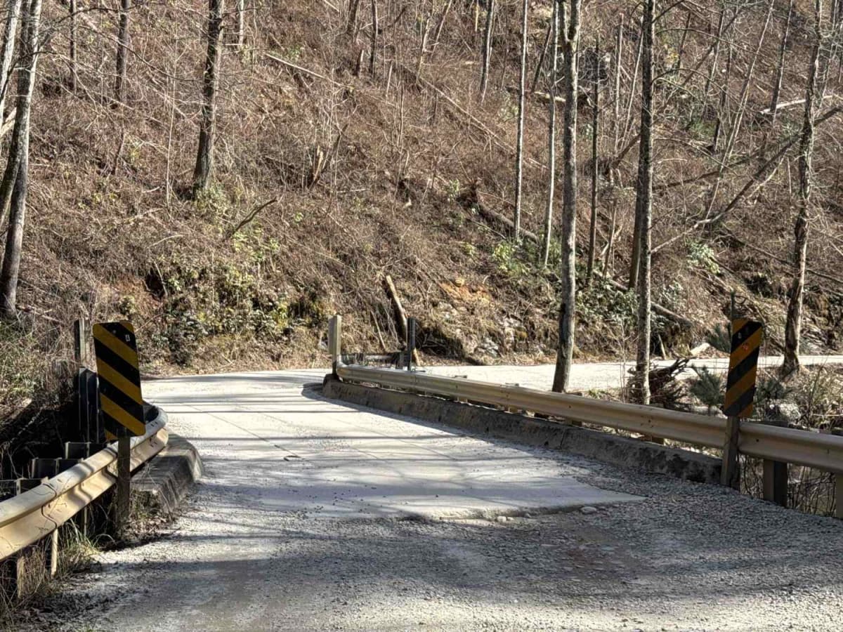
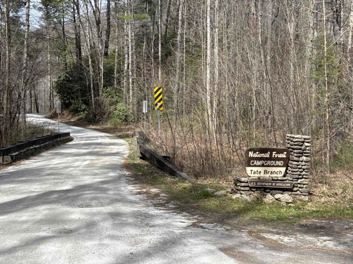
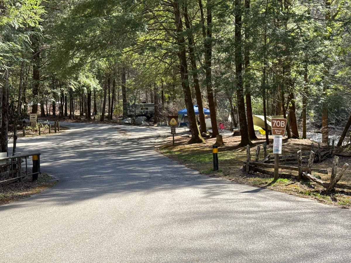
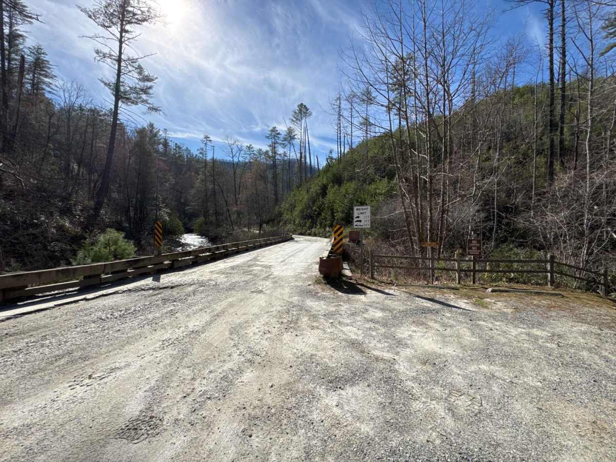
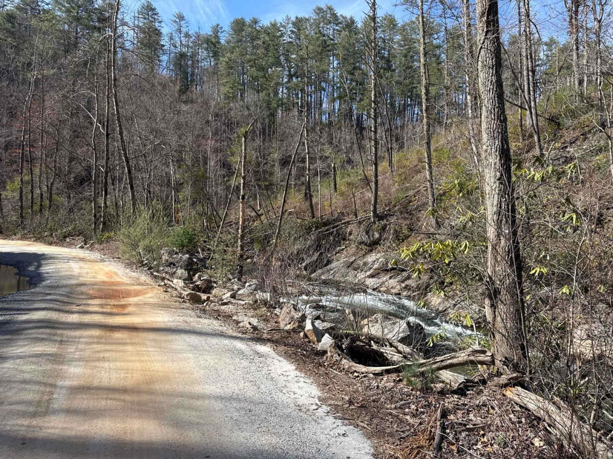
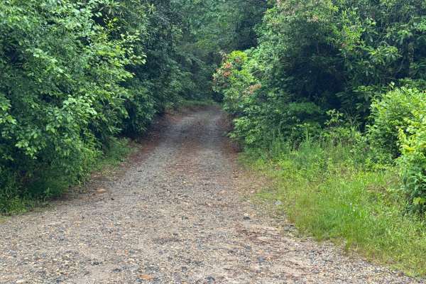
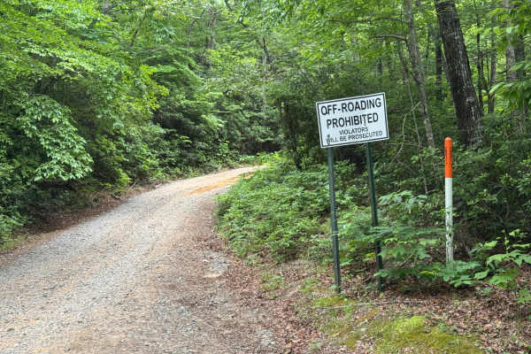
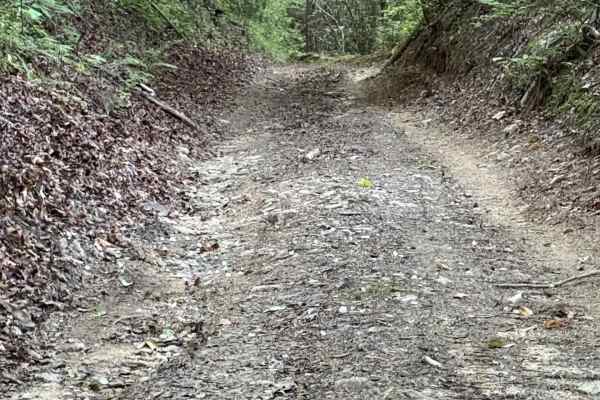
Tallulah River Trail takes you from Persimmon Road to the Deep Gap/Beech Creek Trailhead in North Carolina. That trail takes you along the Tallulah River. There are several beautiful Campgrounds next to the water. You will cross Tatecity, a small mountain community, on your way. The trail is a gravel forestry road with some soft sand spots that can turn into mud holes after heavy rain. The road is not always wide enough for two vehicles to pass. 4WD and high clearance are recommended, especially during Winter. All vehicles must be street-legal. The Chattahoochee-Oconee National Forest provides the finest outdoor recreation opportunities and natural resources in Georgia. Featuring nearly 867,000 acres across 26 counties, thousands of miles of clear-running streams and rivers, approximately 850 miles of recreation trails, and dozens of campgrounds, picnic areas, and other recreation activity opportunities, these lands are rich in natural scenery, history, and culture. The Chattachoochee-Oconee National Forest offers a variety of activities such as camping, OHV riding, boating, and target shooting. While many of these activities are free, passes or permits may be required at certain recreation sites to help maintain, manage, and improve the facilities: https://www.fs.usda.gov/conf
History
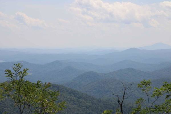
Georgia's only national forest offers 867,000 acres of scenery, history, and culture to explore.