Charlies Creek - FS 72

Total Miles2.5
Technical Rating
3Easy
Best TimeSpring, Summer, Fall, Winter
Trail TypeFull-Width Road
Accessible By
Open Trail Map

Trail Overview

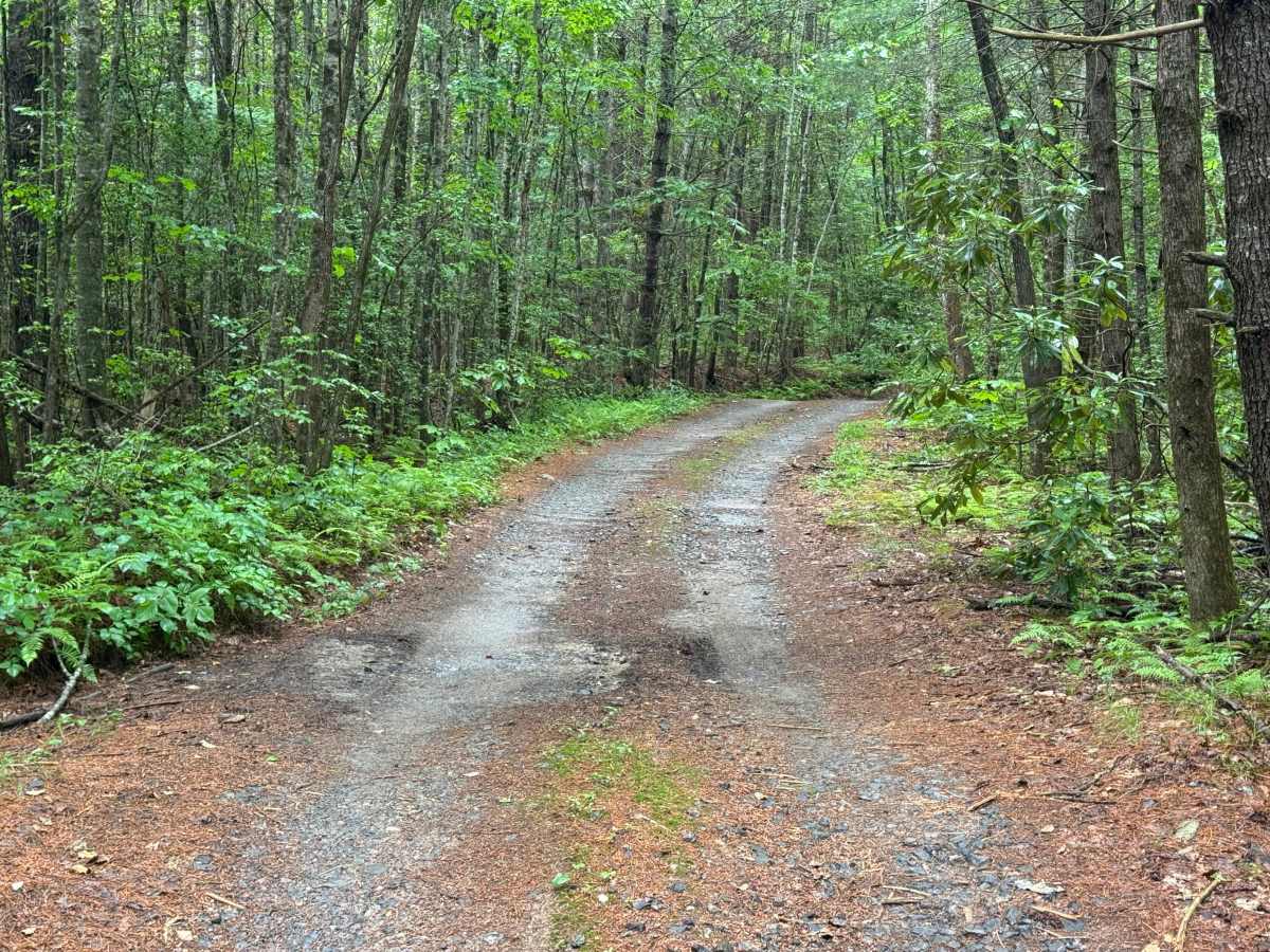
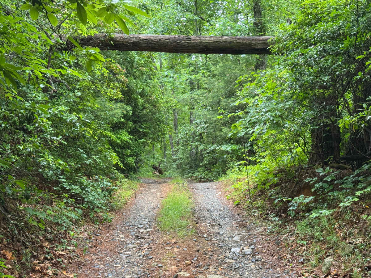
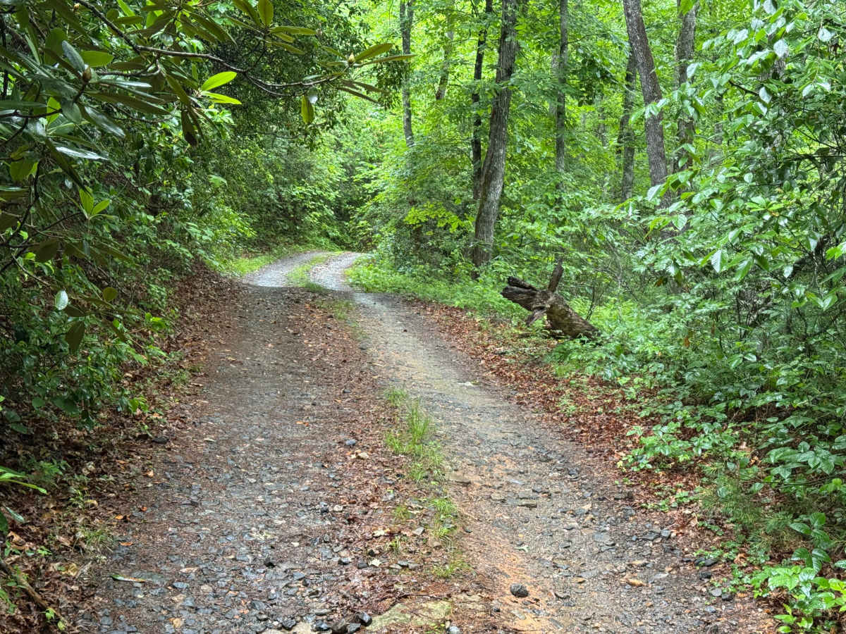
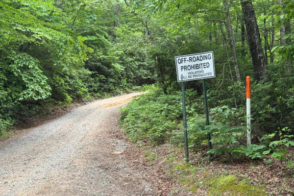
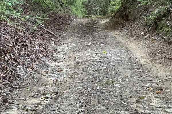
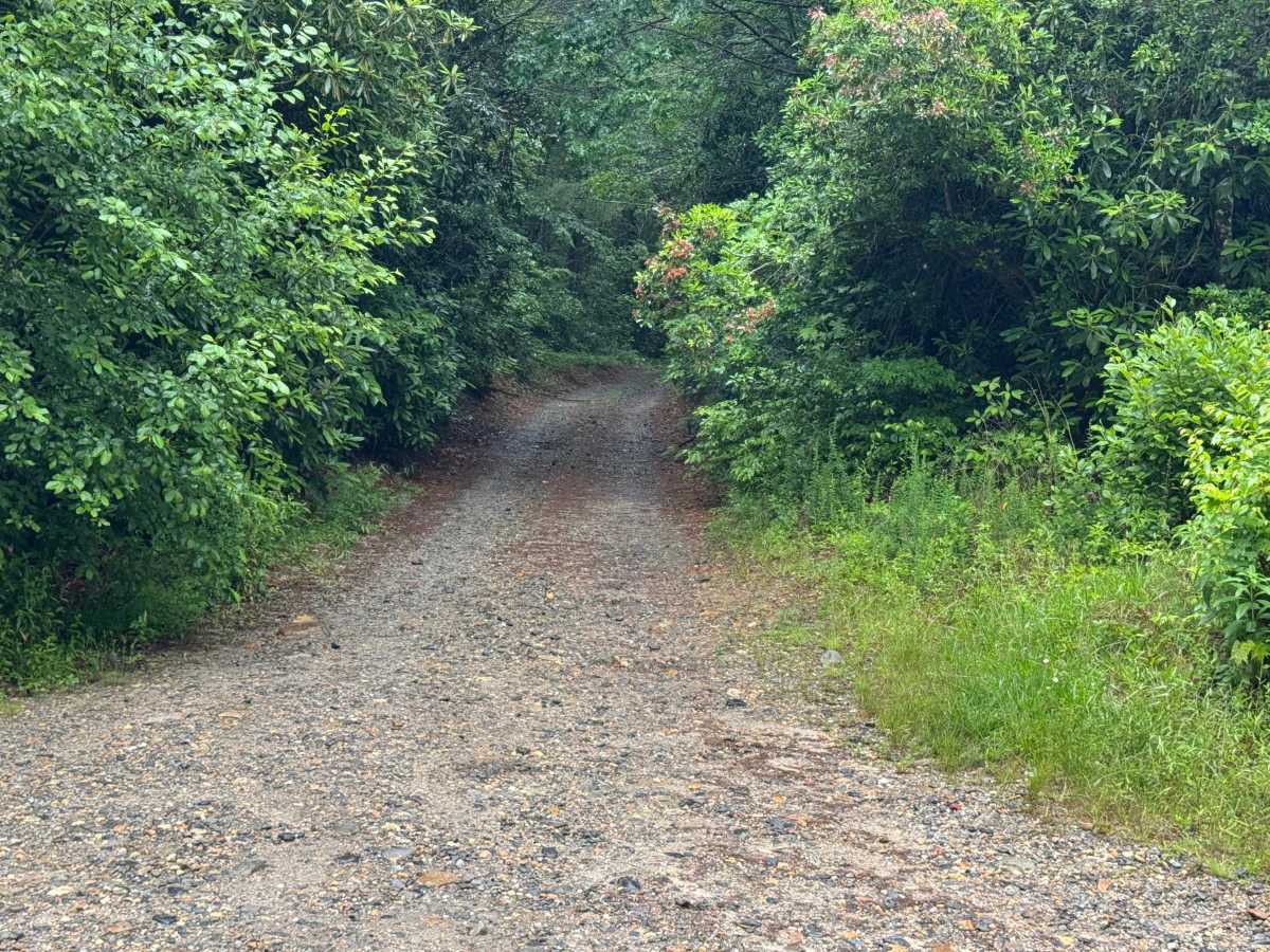
Charlies Creek (FS 72) is a 1.2-mile out-and-back route that follows a narrow single-lane forest road with few places to pass over a packed dirt surface. The road is not maintained and travels through heavily forested terrain with a moderate difficulty rating. Tight vegetation crowds the route, while numerous mudholes, particularly after rainfall, create the primary driving challenge. Some mudholes can be deep, although most have solid bottoms, requiring careful line selection and steady vehicle control. The route ends at an open area where there is a possible campsite before returning along the same alignment. Access is restricted to highway-legal vehicles only.

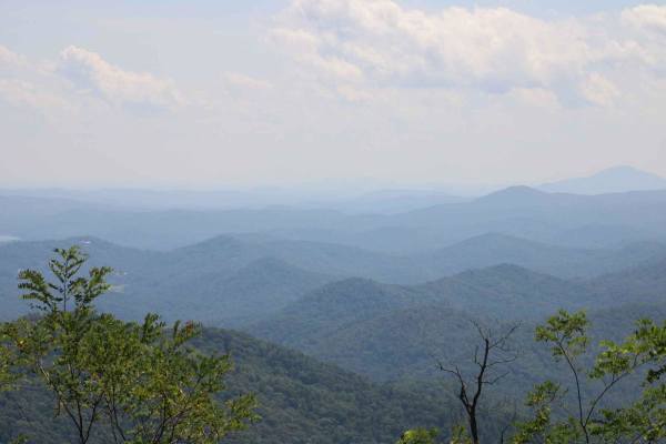
Photos of Charlies Creek - FS 72

Difficulty

Narrow single lane wide with few places to pass. Numerous mudholes that can get deep during wet weather.

Technical Rating

3

Charlies Creek - FS 72 Trail can be accessed by the following ride types:

  • High Clearance
  • Full Width

Charlies Creek - FS 72 Map

The onX Offroad Difference

onX Offroad combines trail photos, descriptions, difficulty ratings, width restrictions, seasonality, and more in a user-friendly interface. Available on all devices, with offline access and full compatibility with CarPlay and Android Auto. Discover what you're missing today!

Open Trail Map