Charlies Creek Road

Total Miles4.2
Technical Rating
5Moderate
Best TimeSpring, Summer, Fall, Winter
Trail TypeFull-Width Road
Accessible By
Open Trail Map

Trail Overview

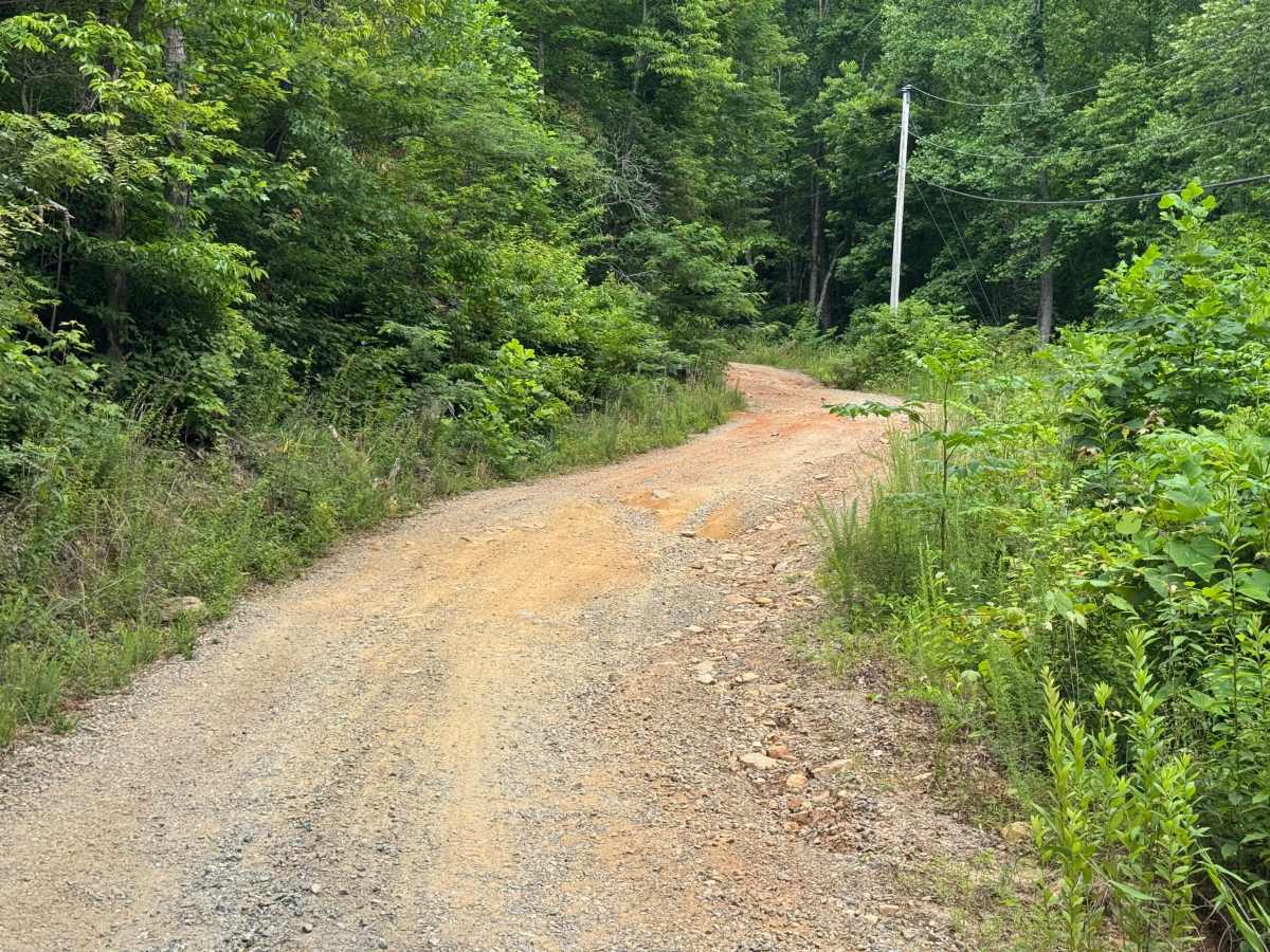
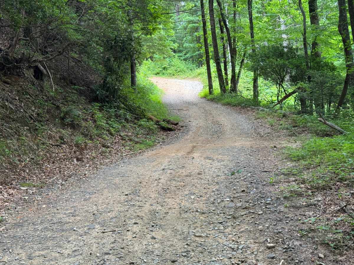
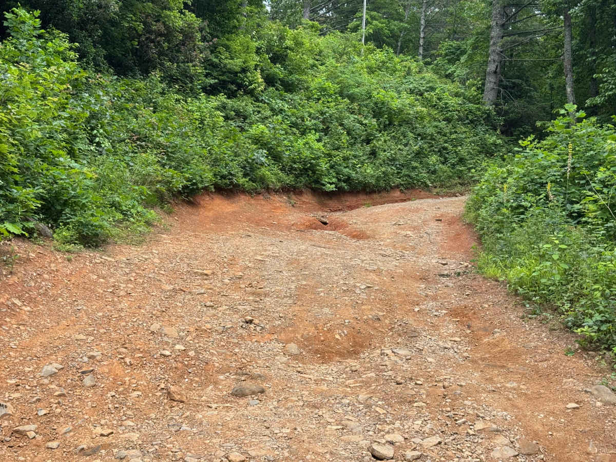
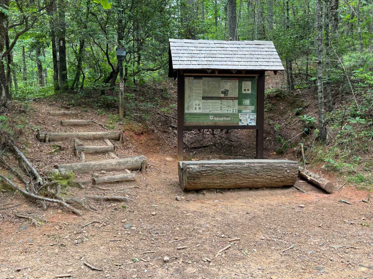
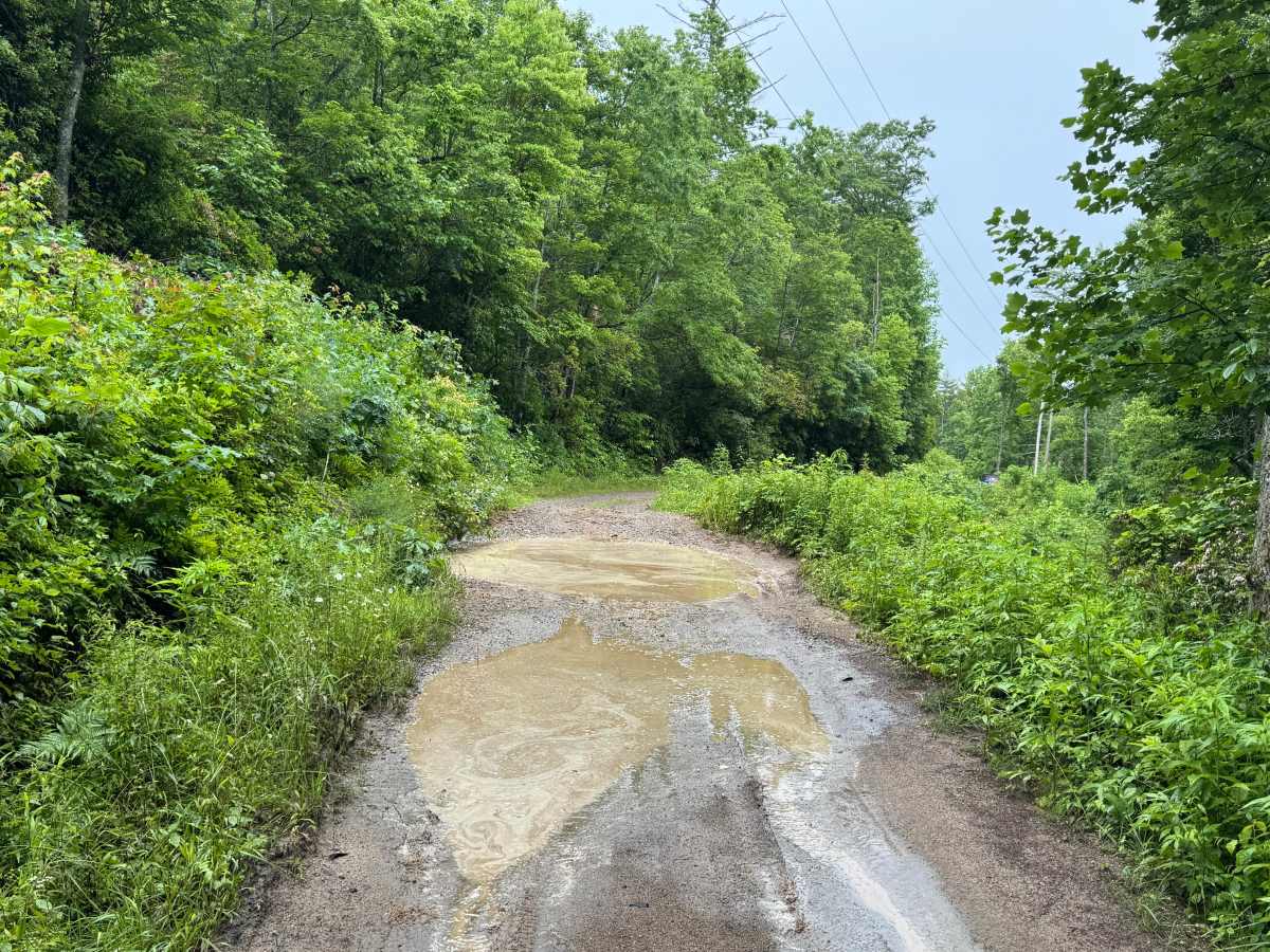
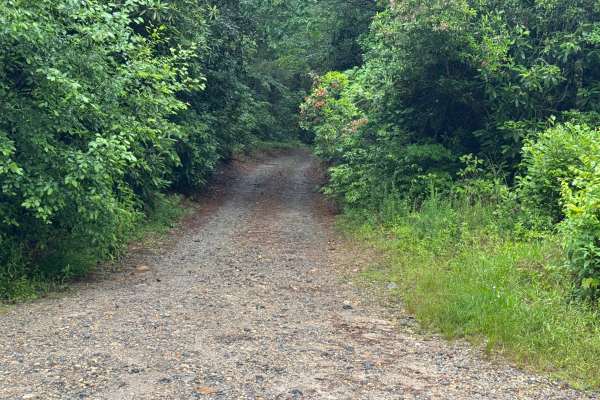
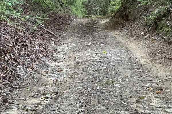
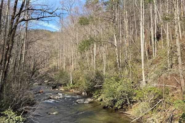
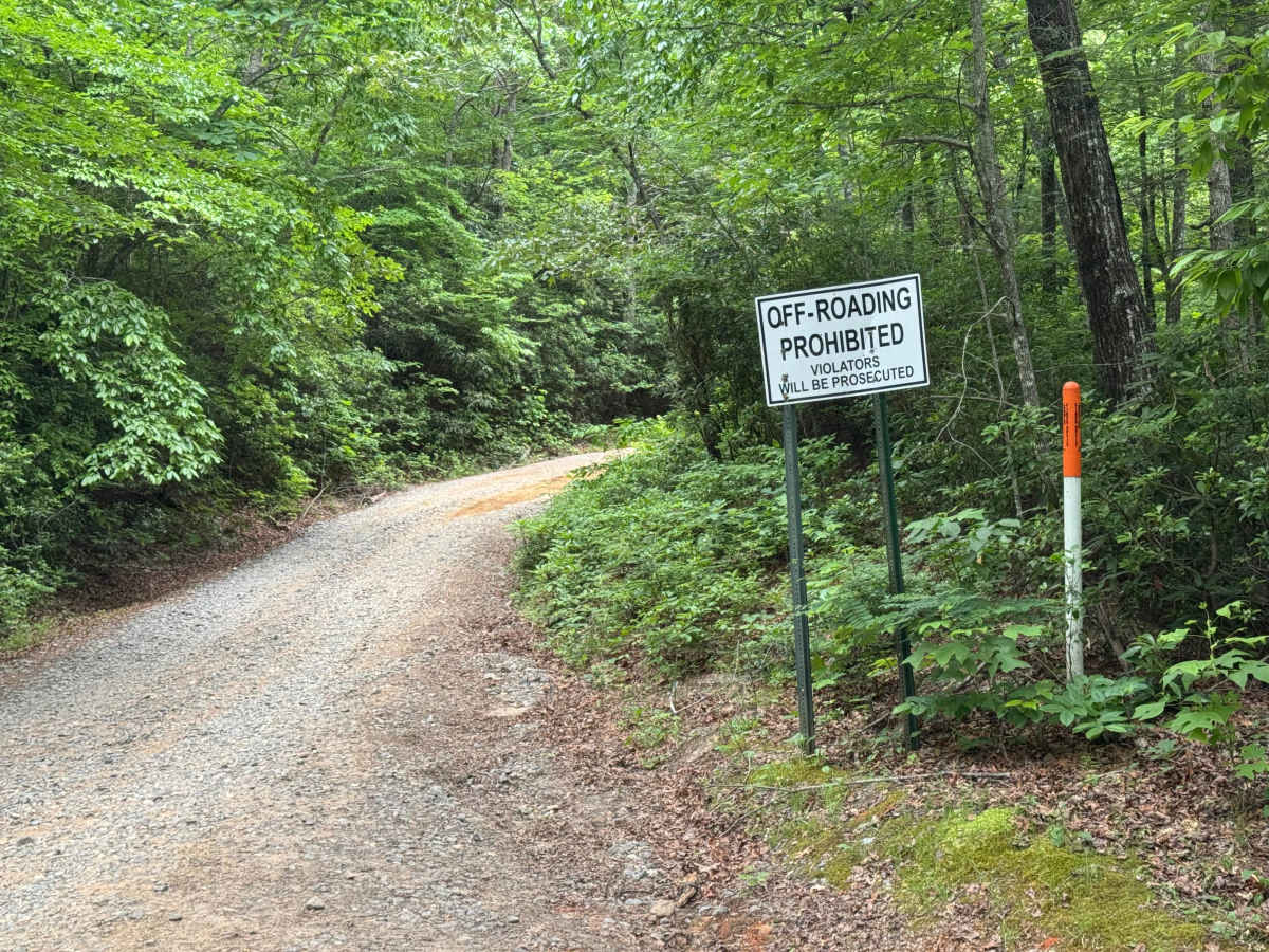
Charlies Creek Road is a 4.1-mile point-to-point route that follows a narrow single-lane road with few places to pass over a surface of packed dirt and rocks. The road is not maintained and passes through heavily forested terrain with an easy difficulty rating despite several notable obstacles. The route crosses the Appalachian Trail and includes three significant moving water crossings, along with a varied trailbed consisting of rock, mud, and packed soil. Deep water crossings, mudholes, and slick muddy sections require careful judgment, particularly after periods of rain when moving water may be deeper than expected. The eastern end begins along Upper Hightower Road, while the western end terminates at the Tallulah River crossing. Access is restricted to highway-legal vehicles only.

Photos of Charlies Creek Road

Difficulty

Generous single-lane road with places to pass easily, three significant moving water crossings, and several muddy spots. Wet weather increases difficulty significantly.

Technical Rating

5

Charlies Creek Road Trail can be accessed by the following ride types:

  • High Clearance
  • Full Width

Charlies Creek Road Map

The onX Offroad Difference

onX Offroad combines trail photos, descriptions, difficulty ratings, width restrictions, seasonality, and more in a user-friendly interface. Available on all devices, with offline access and full compatibility with CarPlay and Android Auto. Discover what you're missing today!

Open Trail Map