
Dirt Bike Trails
Near Mosheim, Tennessee
Explore All Dirt Bike Trails Near Mosheim, Tennessee
Dirt Bike Trails Near Mosheim, Tennessee
Discover the best dirt bike trails near you. Browse trail maps, check difficulty ratings, and find your next adventure — whether you're looking for a quick ride or an all-day expedition.

Green Mountain Road
This is a windy gravel mountain road. It winds along the edge of the mountain with mild elevation changes. Beautiful drive with a couple of good spots to catch a view, although there are no official lookouts. The road is well-maintained and makes a great "Sunday drive". The view is very pretty in th...
Learn more about Green Mountain Road
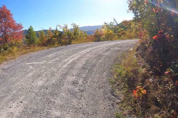
Round Knob Road - FS88
This is a 4.2-mile out-and-back single-lane forest service road on the Tennessee side of the Cherokee National Forest, southeast of Greeneville, Tennessee, leading up to the Bald Mountains region. It is accessed from Greeneville, TN via Greystone Road and eventually turns into Round Knob Road. The r...
Learn more about Round Knob Road - FS88
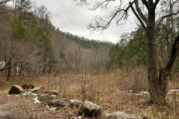
Paint Pond Trail
This is a short out-and-back trail with multiple primitive campsites and fire rings. The campsite on the south end has room for multiple vehicles with rooftop tents and plenty of room for ground tents with three fire rings. The three campsites on the north end of the trail are large enough for two v...
Learn more about Paint Pond Trail
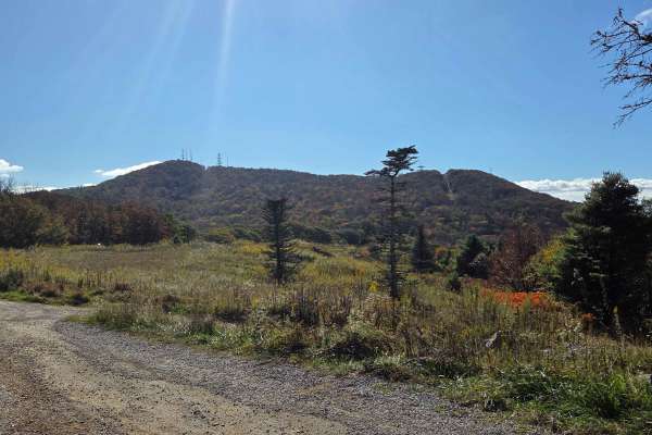
Viking Mountain Road
Turning to gravel 5 miles in, Viking Mountain Road is a 3.5-mile out-and-back single-lane forest service road on the Tennessee side of the Cherokee National Forest, southeast of Greeneville, Tennessee, leading up to the Bald Mountains region. On pavement, it is accessed from Greeneville, Tennessee v...
Learn more about Viking Mountain Road
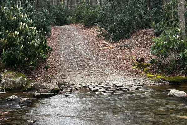
Horse Creek
Horse Creek is one of the many hidden gems of East Tennessee. This is an epic trail filled with multiple water crossings, rock ledges, steep grades, and scenic views. You will encounter a few switchbacks that are pretty tight toward the top of the mountain. This is an out-and-back trail that will ta...
Learn more about Horse Creek
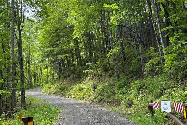
Wolf Creek Road
Wolf Creek Road is a 6.1-mile gravel road kept in good shape by the Cherokee National Forest. It's mostly one lane, but there are plenty of wide spots to pass. You can access it from Round Mountain Road to the south or Upper Shut-In Road from the north on the North Carolina side. The road climbs thr...
Learn more about Wolf Creek Road
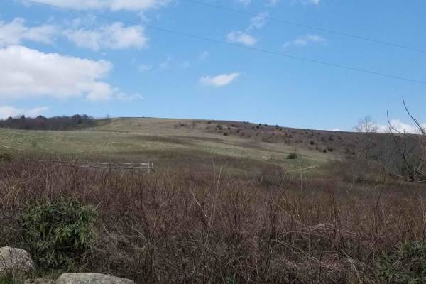
Max Patch Road
This is an 8.7-mile gravel forest service road that can be entered from the south via the Fines Creek area, just east of Interstate 40 in Clyde, North Carolina. Traveling north, the road becomes gravel and leads to a variety of scenic destinations such as Hurricane Creek, Max Patch, Round Mountain, ...
Learn more about Max Patch Road

Rich Mountain Summit
Rich Mountain Summit is the legal continuation of Rich Mountain Trail which has seasonal closures typically from December 20 through late March and is considered an 'out and back' experience. The Rich Mountain Summit Trail begins by taking a 90-degree right turn and passing through a Forest Service ...
Learn more about Rich Mountain Summit
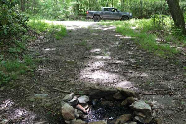
Brown Gap Road
This route will take you from the higher elevations back towards Hartford. It generally a mild road, but a few sections include ruts and mud holes that might be more challenging during rainy weather. Be on the lookout for wildlife as you travel this road. Bear are common in the area and it's great g...
Learn more about Brown Gap Road
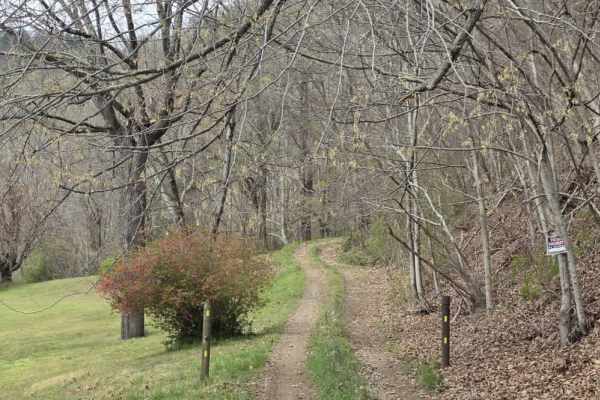
Green Knob
Green Knob is a slow-moving, highly technical trail that demands focus from start to finish. While the primary surface is gravel, the route is extremely rocky with constant obstacles that prevent maintaining any real speed. The trail is very tight, with heavy overgrowth and closely spaced trees that...
Learn more about Green Knob
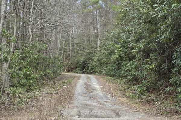
Granny Lewis
Granny Lewis is an easy out-and-back trail that follows closely along Granny Lewis Creek, offering a relaxed drive with frequent water views and a quiet forest setting. The route is primarily smooth and consistent, making it accessible for most drivers under normal conditions. The surface includes o...
Learn more about Granny Lewis
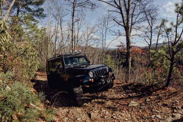
No Business Knob
No Business Knob is a tight but simple trail located in Cherokee National Forest. You will most likely get pinstripes from the branches lining the trail in an SUV or truck. The trail is just under 10 miles round-trip and traverses the side of the mountain range. Expect steep drop-offs on the side of...
Learn more about No Business Knob
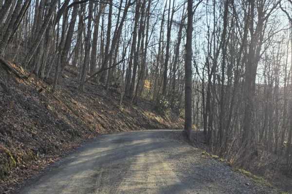
Sutton
Sutton is a short out-and-back dirt route that offers a mostly easy drive with a brief change in terrain character. The trail begins as a graded path with a smooth, manageable surface before transitioning after a hairpin turn into a narrower, rocky two-track. In this section, rocks begin to protrude...
Learn more about Sutton
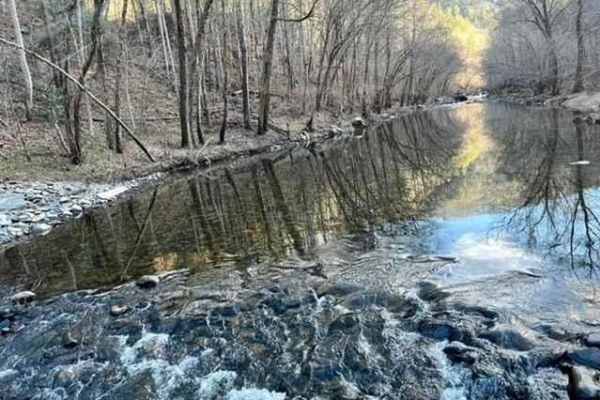
Hurricane Creek
Hurricane Creek is a one-way trail you enter from the westbound lane of Interstate 40. The trail gets tight in many areas;there is not enough room to turn around. You will encounter steep drops on one side, with a steep bank on the other. There are water crossings and tight, twisty, rocky trails. Th...
Learn more about Hurricane Creek
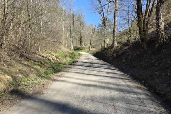
Mount Sterling Road
Mount Sterling Road is an easy gravel route that offers a straightforward drive with occasional exposure and light local traffic. The road is generally well-maintained with gentle grades, making it suitable for most drivers under normal conditions. While much of the route is wide enough for two vehi...
Learn more about Mount Sterling Road
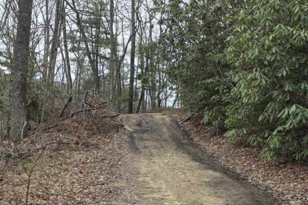
Upper Briar Creek - FS 4354
Upper Briar Creek (FS 4354) is a moderately easy trail that offers a mix of terrain features and gradually becomes more rugged as you progress. The route begins as a single-lane trail with scattered ruts, protruding rocks, and occasional sandy sections. Several mud holes are present throughout, whic...
Learn more about Upper Briar Creek - FS 4354
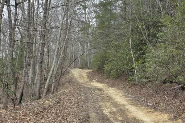
Upper Briar Creek Spur - FS 4354A
Upper Briar Creek Spur (FS 4354A) is a moderately technical trail that begins with immediate obstacles and maintains a more rugged character throughout. Early in the route, a downed tree creates a low-clearance hazard that can be especially problematic for lifted vehicles, requiring careful approach...
Learn more about Upper Briar Creek Spur - FS 4354A

Ephraim Road - FS 5583
Ephraim Road (FS 5583) is primarily an easy forest road that offers a straightforward drive with a gradual change in terrain as you progress. The route begins as a well-maintained gravel road with gentle grades and a predictable surface, making it accessible for most vehicles under normal conditions...
Learn more about Ephraim Road - FS 5583
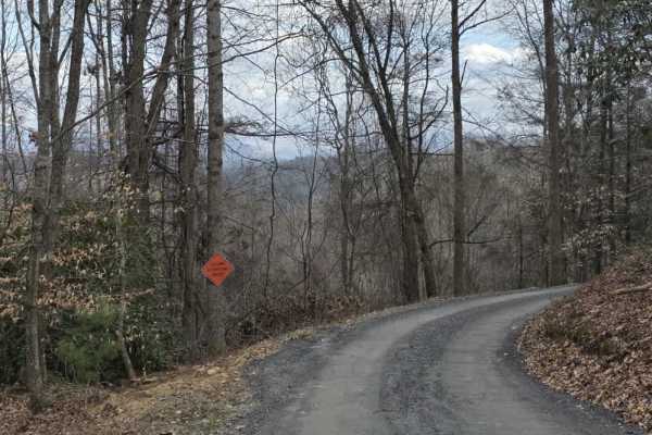
White Oak Flats Spur
White Oak Flats Spur is an easy, graded gravel route that provides a smooth and predictable driving experience. The road is wide and well-maintained, allowing for comfortable travel and easy passing in most areas. The surface is consistent throughout, offering good traction and minimal variation, ma...
Learn more about White Oak Flats Spur
White Oak Flats
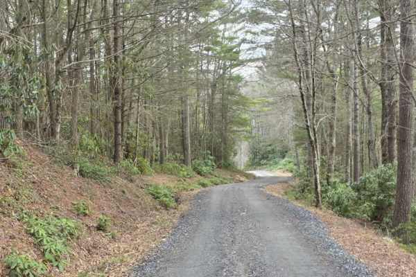
White Oak Flats is a mostly easy gravel route with a short but more technical section at the beginning. The first approximately 0.4 miles features a narrower two-track with a rocky descent that requires more attention to line choice and vehicle control. While still manageable, this section introduce...
Learn more about White Oak Flats
ATV trails near Mosheim, Tennessee
Explore ATV-friendly trails near you. These trails are accessible for vehicles up to 50 inches wide, perfect for ATVs and smaller off-road machines.
Green Mountain Road
This is a windy gravel mountain road. It winds along the edge of the mountain with mild elevation changes. Beautiful drive with a couple of good spots to catch a view, although there are no official lookouts. The road is well-maintained and makes a great "Sunday drive". The view is very pretty in th...
Learn more about Green Mountain Road
Paint Pond Trail
This is a short out-and-back trail with multiple primitive campsites and fire rings. The campsite on the south end has room for multiple vehicles with rooftop tents and plenty of room for ground tents with three fire rings. The three campsites on the north end of the trail are large enough for two v...
Learn more about Paint Pond Trail
Viking Mountain Road
Turning to gravel 5 miles in, Viking Mountain Road is a 3.5-mile out-and-back single-lane forest service road on the Tennessee side of the Cherokee National Forest, southeast of Greeneville, Tennessee, leading up to the Bald Mountains region. On pavement, it is accessed from Greeneville, Tennessee v...
Learn more about Viking Mountain Road
Horse Creek
Horse Creek is one of the many hidden gems of East Tennessee. This is an epic trail filled with multiple water crossings, rock ledges, steep grades, and scenic views. You will encounter a few switchbacks that are pretty tight toward the top of the mountain. This is an out-and-back trail that will ta...
Learn more about Horse Creek
UTV/side-by-side trails near Mosheim, Tennessee
Find UTV and side-by-side trails near you. These trails accommodate vehicles up to 60 inches wide, ideal for UTVs, side-by-sides, and wider off-road rigs.
Green Mountain Road
This is a windy gravel mountain road. It winds along the edge of the mountain with mild elevation changes. Beautiful drive with a couple of good spots to catch a view, although there are no official lookouts. The road is well-maintained and makes a great "Sunday drive". The view is very pretty in th...
Learn more about Green Mountain Road
Paint Pond Trail
This is a short out-and-back trail with multiple primitive campsites and fire rings. The campsite on the south end has room for multiple vehicles with rooftop tents and plenty of room for ground tents with three fire rings. The three campsites on the north end of the trail are large enough for two v...
Learn more about Paint Pond Trail
Viking Mountain Road
Turning to gravel 5 miles in, Viking Mountain Road is a 3.5-mile out-and-back single-lane forest service road on the Tennessee side of the Cherokee National Forest, southeast of Greeneville, Tennessee, leading up to the Bald Mountains region. On pavement, it is accessed from Greeneville, Tennessee v...
Learn more about Viking Mountain Road
Horse Creek
Horse Creek is one of the many hidden gems of East Tennessee. This is an epic trail filled with multiple water crossings, rock ledges, steep grades, and scenic views. You will encounter a few switchbacks that are pretty tight toward the top of the mountain. This is an out-and-back trail that will ta...
Learn more about Horse Creek
The onX Offroad Difference
onX Offroad combines trail photos, descriptions, difficulty ratings, width restrictions, seasonality, and more in a user-friendly interface. Available on all devices, with offline access and full compatibility with CarPlay and Android Auto. Discover what you're missing today!
Open Trail Map