Trail Overview
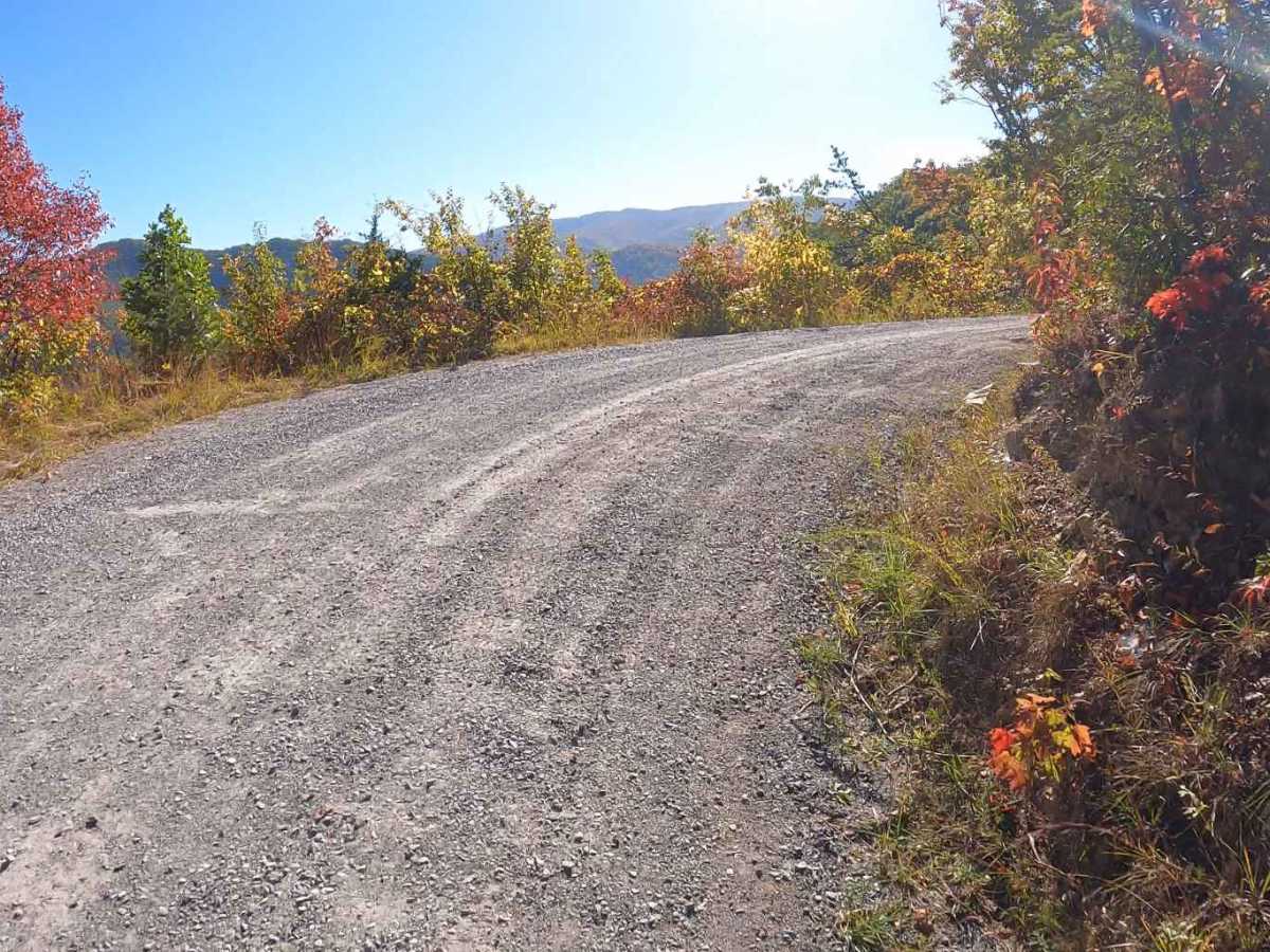
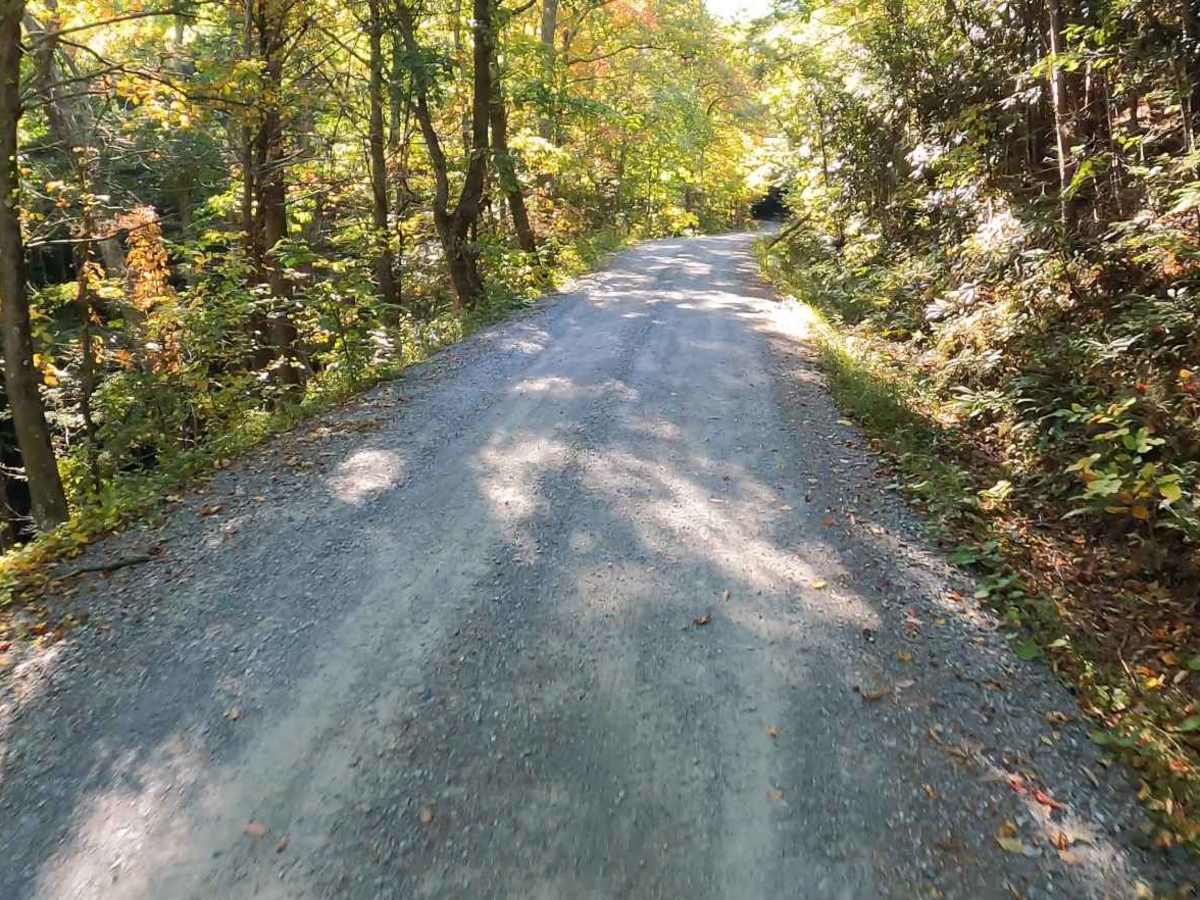
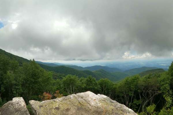
This is a 4.2-mile out-and-back single-lane forest service road on the Tennessee side of the Cherokee National Forest, southeast of Greeneville, Tennessee, leading up to the Bald Mountains region. It is accessed from Greeneville, TN via Greystone Road and eventually turns into Round Knob Road. The road leads up to Round Knob at an elevation of 3,251 feet as well as to the Round Knob picnic area. At the picnic area, a pavilion with a fireplace provides an excellent group gathering area. The road is wide, graded, and well-maintained until the picnic area, at which point it becomes much narrower and less maintained. From the beginning of Round Knob Road and until the picnic area, it is easily navigated by passenger cars, but past the picnic area, it becomes muddy, rutted, and more steep requiring high clearance 4x4 vehicles. The top affords some views but is not completely clear of trees.
Difficulty
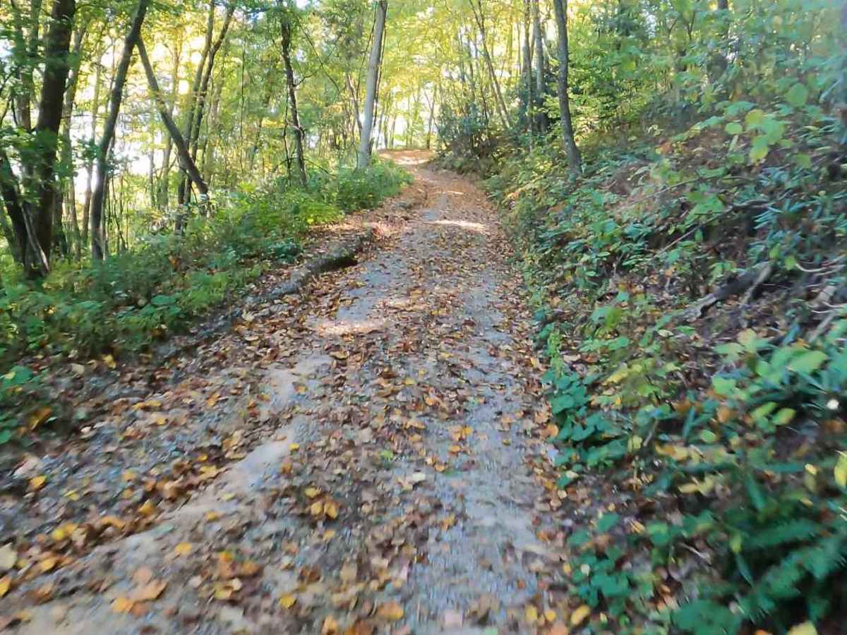
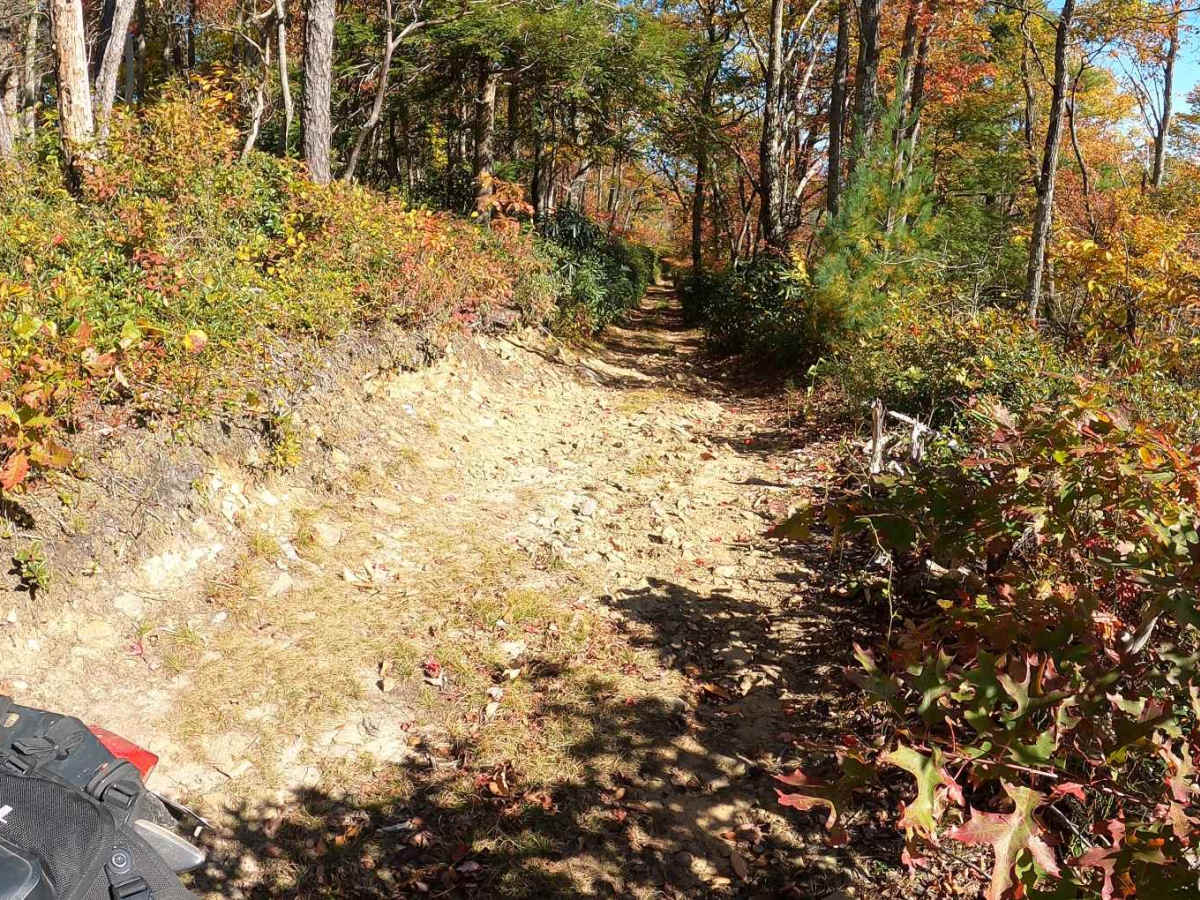
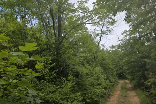
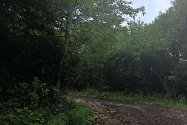
The road is wide, graded, and well-maintained until the picnic area, at which point it becomes much narrower and less maintained. From the beginning of Round Knob Road and until the picnic area, it is easily navigated by passenger cars, but past the picnic area, it becomes very narrow, muddy, rutted, and more steep, requiring high clearance 4x4 vehicles. The top affords some views but is not completely clear of trees.



 Offroad