
Dirt Bike Trails
Near Morrison, Colorado
Explore All Dirt Bike Trails Near Morrison, Colorado
Dirt Bike Trails Near Morrison, Colorado
Discover the best dirt bike trails near you. Browse trail maps, check difficulty ratings, and find your next adventure — whether you're looking for a quick ride or an all-day expedition.
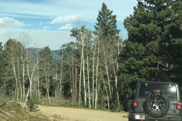
Santa Fe Trail
This is an easy, one-way trail with a few places to pass and some rocky and washed-out sections. You'll find a handful of dispersed campsites and great views of Idaho Springs. The end of the trail is a gate leading to private property, and there is plenty of room to turn around.
Learn more about Santa Fe Trail
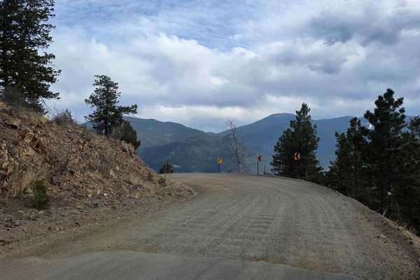
Virginia Canyon Road
Virginia Canyon Road is a simple dirt road with scenic views and lots of leftover mining equipment. While the road is generally plenty wide, there are occasionally times when you will share the road with mining company trucks hauling large vehicles and taking up space. This may require some maneuver...
Learn more about Virginia Canyon Road
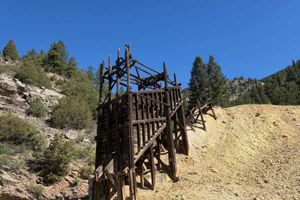
Virginia Canyon Road 279
Virginia Canyon Road 279 is a wide, generally well-maintained gravel road climbing above Idaho Springs. The route offers expansive views across the surrounding mountains and down toward town while passing through a mix of pine forest, exposed hillsides, and historic mining areas. Remnants of old woo...
Learn more about Virginia Canyon Road 279
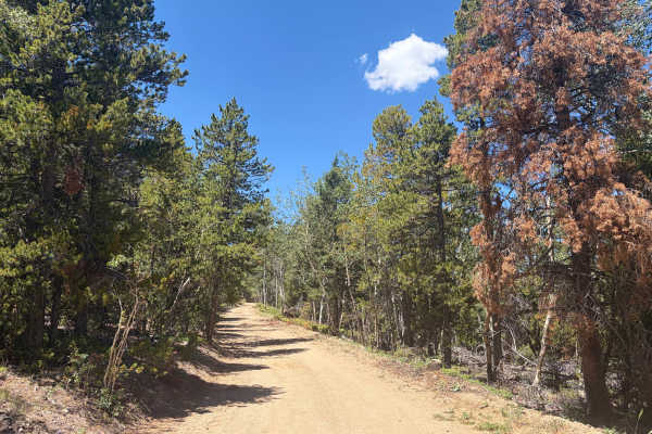
Church Placer Road
Church Placer Road is an easy gravel route through forest, aspen groves, open meadows, and mountain terrain. The road is generally smooth and wide enough for full-size vehicles, with only a few rocky sections, loose gravel, light washboarding, and a cattle guard along the way. There are no major obs...
Learn more about Church Placer Road
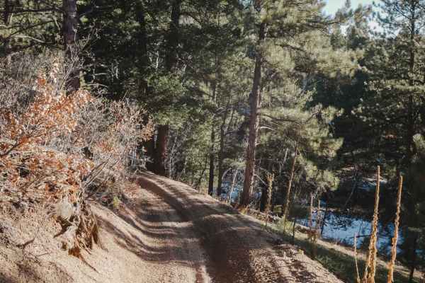
787 ATV Trail
787 is one of the longer ATV trails in the Rampart Range Recreation Area at almost 8 miles long. It starts at the most northern staging area on Rampart Range Road right off State Highway 67, at the same trailhead as the Beginners Trail. This one is made up of tons of tight little curves. It zig-zags...
Learn more about 787 ATV Trail
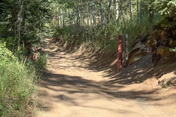
Lower Barbour Fork Road
This is a tight trail that winds through Arapaho National Forest. There are some technical spots with rutted, off-camber, rocky terrain and a few steep climbs. This trail is mostly dirt road, which has soft sand in some spots. There are not many pull-off areas to allow vehicles to pass, and if ther...
Learn more about Lower Barbour Fork Road
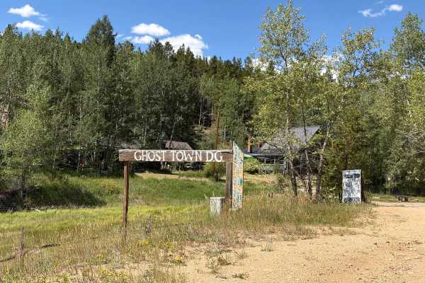
Upper Russell Gulch Road
Upper Russell Gulch Road is an easy gravel route through a historic mountain community. The road is wide, smooth, and suitable for most vehicles in dry conditions. The route passes forested hillsides, old utility structures, and several historic buildings. There are no major obstacles, though driver...
Learn more about Upper Russell Gulch Road
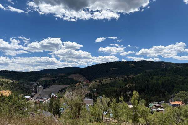
Barrett Street
Barrett Street begins as a paved road before quickly transitioning to gravel as it climbs above Central City. The route is generally smooth and easy to travel, with broad views of town, several scenic pullouts, and a few short offshoot trails worth exploring. Watch for loose gravel, local traffic, a...
Learn more about Barrett Street
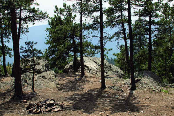
Slaughterhouse Gulch
Slaughterhouse Gulch is an exciting and challenging loop trail tailored for intermediate to advanced offroaders seeking a scenic, forested adventure with plenty of technical obstacles. Located near Bailey, Colorado, this 8.4-mile loop requires a high-clearance, four-wheel-drive vehicle capable of ha...
Learn more about Slaughterhouse Gulch
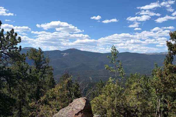
Bellevue Mountain Drive
Bellevue Mountain Drive is an easy gravel route that climbs through pine and aspen forest to a communications tower near the top. The main attraction is the broad mountain and valley views from the upper section. The road begins wide and smooth but narrows in places as it climbs. Full-size trucks an...
Learn more about Bellevue Mountain Drive
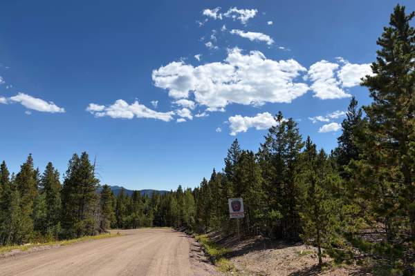
Virginia Canyon Road - FS 279
Virginia Canyon Road - FS 279 is another portion of the lower Virginia Canyon Road, broken up by Two Brothers Road; it gets a little confusing. This is an easy scenic drive through a quiet rural area with cabins, forest, and mountain views. The route can be driven point-to-point or combined with nea...
Learn more about Virginia Canyon Road - FS 279
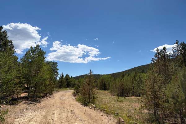
Pewabic Mine Road
Pewabic Mine Road is a varied mountain route that moves through dense forest, open meadows, and historic mining areas. The road is mostly smooth gravel with a few rougher, rockier sections. The route is generally wide and easy to follow, with no major obstacles in dry conditions. Drivers will pass o...
Learn more about Pewabic Mine Road
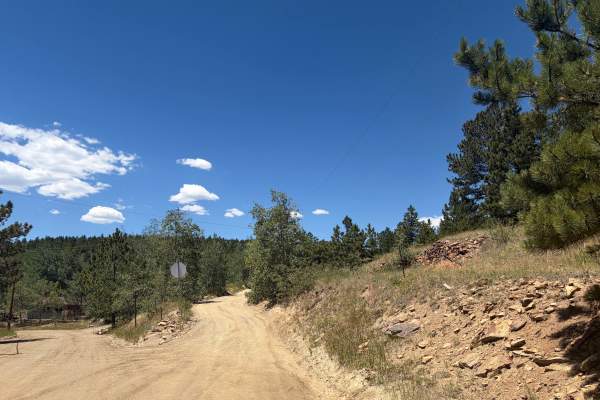
Alps Hill Road
Alps Hill Road is an easy gravel route winding through aspen groves, open meadows, and areas bordered by private property. The road is generally smooth and suitable for full-size vehicles, with only a few scattered rocky sections and no major obstacles in dry conditions. Stay on the established road...
Learn more about Alps Hill Road
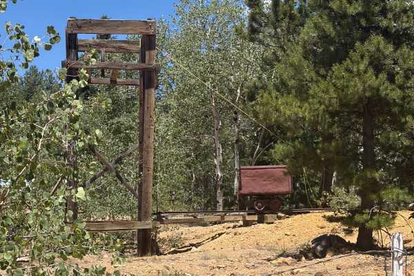
Roy Smith Road
Roy Smith Road is a varied mountain route through pine and aspen forest with occasional open views. The road is suitable for full-size trucks and SUVs but becomes narrow and rough in places. Expect short hill climbs, loose larger rocks, erosion, and several uneven humps and dips. Most obstacles are ...
Learn more about Roy Smith Road
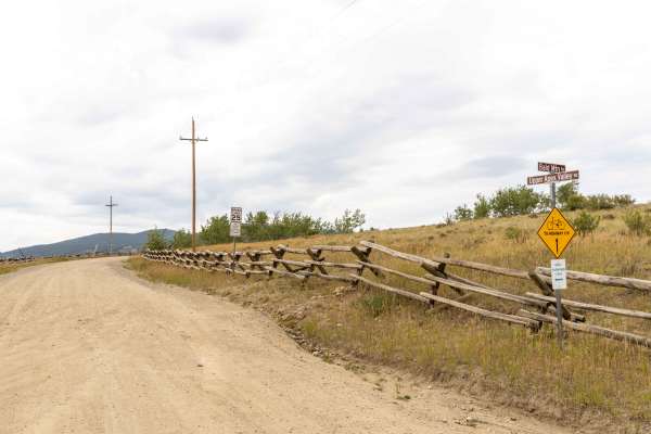
Apex Road
Apex Road is a scenic, historic route perfect for beginners and intermediate offroaders looking to explore Colorado's rich mining heritage while enjoying beautiful mountain vistas. Starting from Central City and heading north to Tolland, this trail transitions from a smooth, graded gravel road in th...
Learn more about Apex Road
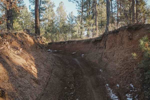
673 Barr ATV Trail
Barr Trail is a fun ATV Trail in the Rampart Range Recreation Area that starts at the Flatrocks Trailhead off Rampart Range Road. It steadily descends 1,200 feet over 3.6 miles all the way to the tiny town of Sprucewood, where you can ride your ATV to get lunch at the Sprucewood Inn. It'll be a long...
Learn more about 673 Barr ATV Trail
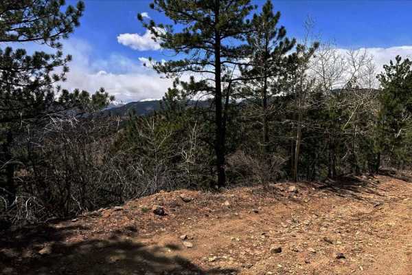
Chinook Road
Vehicle Requirements: High clearance 4WD with low-range capability is essential. Lockers are strongly recommended for boulder navigation. Minimum 33" tires advised. Critical Warnings: Single-lane only with extremely limited passing opportunities. No turnaround spots when approaching from south - com...
Learn more about Chinook Road
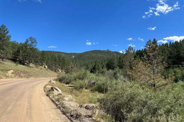
West Pine Creek Road
This is a graded dirt road that is accessible to all street-legal vehicles. While driving, be mindful of the soft shoulders. This road links Jarre Canyon Road to the north with South Platte River Roads within Pike National Forest. Note that camping is not permitted along this road, which predominant...
Learn more about West Pine Creek Road
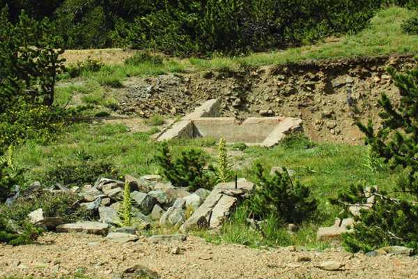
Yankee Hill Road
Yankee Hill Road is an 8-mile, moderately challenging offroad trail spanning from near Alice to Nevadaville. The route climbs from 9,350 feet to 10,978 feet, winding through dense evergreen forests with views of surrounding peaks, including Mount Pisgah. High-clearance 4WD vehicles with low range ar...
Learn more about Yankee Hill Road
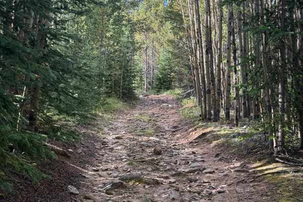
Devils Canyon Spur - FS 2461B
This is an offshoot of Devils Canyon Road with a few dispersed camping spots tucked back along the trail that aren’t visible from the main route. The trail starts fairly easy, but it gradually becomes more challenging as you make your way toward the bottom. The final section is steep and heavily rut...
Learn more about Devils Canyon Spur - FS 2461B
ATV trails near Morrison, Colorado
Explore ATV-friendly trails near you. These trails are accessible for vehicles up to 50 inches wide, perfect for ATVs and smaller off-road machines.
Santa Fe Trail
This is an easy, one-way trail with a few places to pass and some rocky and washed-out sections. You'll find a handful of dispersed campsites and great views of Idaho Springs. The end of the trail is a gate leading to private property, and there is plenty of room to turn around.
Learn more about Santa Fe Trail
Virginia Canyon Road 279
Virginia Canyon Road 279 is a wide, generally well-maintained gravel road climbing above Idaho Springs. The route offers expansive views across the surrounding mountains and down toward town while passing through a mix of pine forest, exposed hillsides, and historic mining areas. Remnants of old woo...
Learn more about Virginia Canyon Road 279
Church Placer Road
Church Placer Road is an easy gravel route through forest, aspen groves, open meadows, and mountain terrain. The road is generally smooth and wide enough for full-size vehicles, with only a few rocky sections, loose gravel, light washboarding, and a cattle guard along the way. There are no major obs...
Learn more about Church Placer Road
787 ATV Trail
787 is one of the longer ATV trails in the Rampart Range Recreation Area at almost 8 miles long. It starts at the most northern staging area on Rampart Range Road right off State Highway 67, at the same trailhead as the Beginners Trail. This one is made up of tons of tight little curves. It zig-zags...
Learn more about 787 ATV Trail
UTV/side-by-side trails near Morrison, Colorado
Find UTV and side-by-side trails near you. These trails accommodate vehicles up to 60 inches wide, ideal for UTVs, side-by-sides, and wider off-road rigs.
Virginia Canyon Road 279
Virginia Canyon Road 279 is a wide, generally well-maintained gravel road climbing above Idaho Springs. The route offers expansive views across the surrounding mountains and down toward town while passing through a mix of pine forest, exposed hillsides, and historic mining areas. Remnants of old woo...
Learn more about Virginia Canyon Road 279
Church Placer Road
Church Placer Road is an easy gravel route through forest, aspen groves, open meadows, and mountain terrain. The road is generally smooth and wide enough for full-size vehicles, with only a few rocky sections, loose gravel, light washboarding, and a cattle guard along the way. There are no major obs...
Learn more about Church Placer Road
Lower Barbour Fork Road
This is a tight trail that winds through Arapaho National Forest. There are some technical spots with rutted, off-camber, rocky terrain and a few steep climbs. This trail is mostly dirt road, which has soft sand in some spots. There are not many pull-off areas to allow vehicles to pass, and if ther...
Learn more about Lower Barbour Fork Road
Upper Russell Gulch Road
Upper Russell Gulch Road is an easy gravel route through a historic mountain community. The road is wide, smooth, and suitable for most vehicles in dry conditions. The route passes forested hillsides, old utility structures, and several historic buildings. There are no major obstacles, though driver...
Learn more about Upper Russell Gulch Road
The onX Offroad Difference
onX Offroad combines trail photos, descriptions, difficulty ratings, width restrictions, seasonality, and more in a user-friendly interface. Available on all devices, with offline access and full compatibility with CarPlay and Android Auto. Discover what you're missing today!
Open Trail Map