
Dirt Bike Trails
Near Morrison Bluff, Arkansas
Explore All Dirt Bike Trails Near Morrison Bluff, Arkansas
Dirt Bike Trails Near Morrison Bluff, Arkansas
Discover the best dirt bike trails near you. Browse trail maps, check difficulty ratings, and find your next adventure — whether you're looking for a quick ride or an all-day expedition.
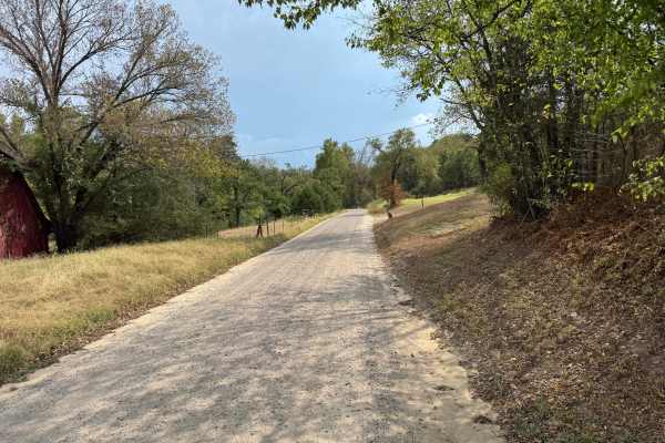
St. Louis Valley
This through route provides a connection between Shoal Creek and Arkansas Highway 22. The road is generally wide enough for two vehicles to pass and consists primarily of maintained gravel and packed dirt. Surrounding terrain transitions from more open rural areas into dense mixed forest dominated b...
Learn more about St. Louis Valley
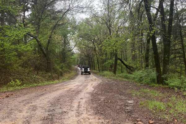
Shoal Creek - FS 1604
Shoal Creek Road is an easy, well-maintained gravel route that follows Shoal Creek and provides access to dispersed camping and nearby trail systems. It’s a great entry-level drive with scenic creek crossings and access to more adventurous trails at the far end. Maintained gravel road getting to Sho...
Learn more about Shoal Creek - FS 1604
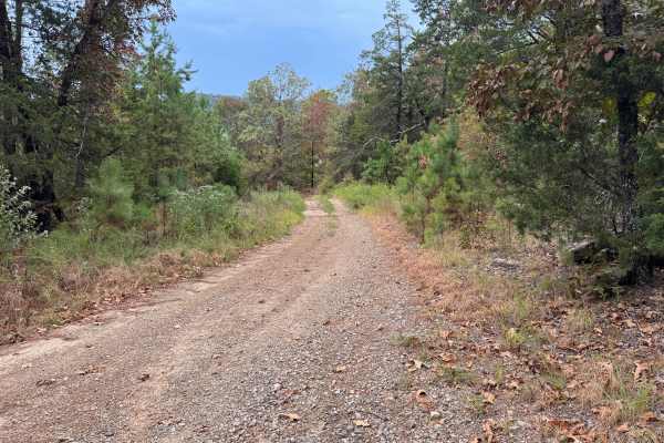
Hickory Grove
This through route connects Canada 1680 with St. Louis Valley, traveling through a heavily forested landscape of mature pines, hardwoods, younger trees, and dense understory vegetation. The surface varies between packed red dirt, gravel, and sections with loose rock, with several areas that collect ...
Learn more about Hickory Grove
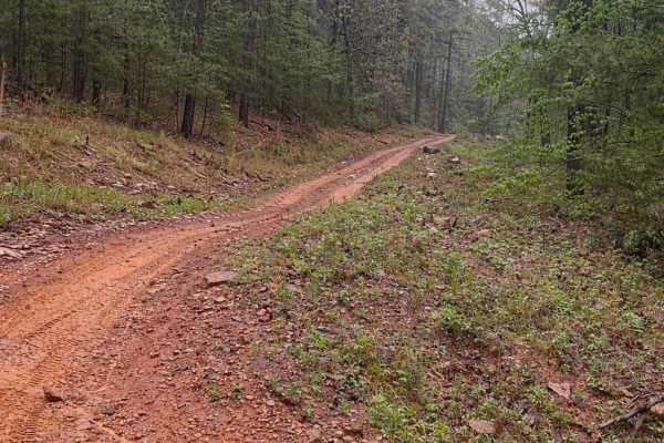
FS 9066D
This trail is a short but punchy hill climb that offers a solid challenge with loose rock, shelves, and steep grades in a classic Ozark hardwood forest setting. The route features a steady climb with multiple technical sections, including rock shelves and ledges that require careful tire placement, ...
Learn more about FS 9066D
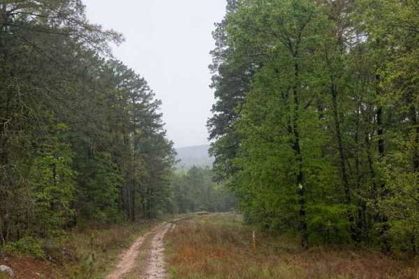
Horne Road
Horne Road is a fun, moderately challenging ridge-top trail that offers a steady descent down to a county road. While not extremely technical, it provides enough obstacles and terrain variety to keep drivers engaged from start to finish. The trail begins along a scenic ridge top with a gradual desce...
Learn more about Horne Road
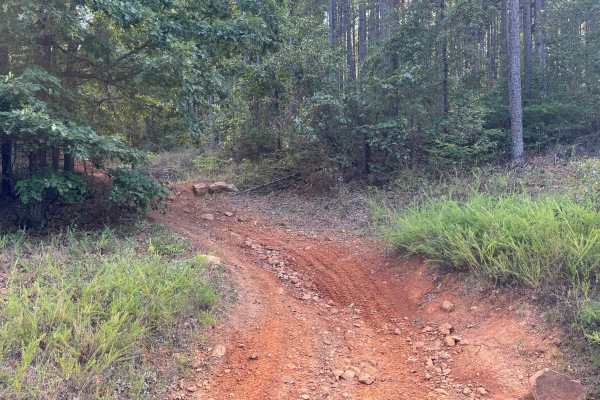
Huckleberry Mountain Orange
This route travels through steep, rugged terrain and is considerably rougher than many of the surrounding forest roads. The roadway climbs and descends through dense pine and hardwood forest, with mature trees, younger growth, shrubs, vines, and other understory vegetation surrounding the narrow cor...
Learn more about Huckleberry Mountain Orange
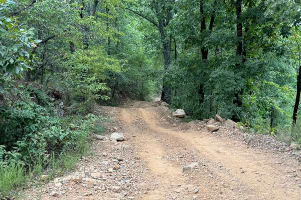
96076D & 96021D
These two trails combine to make essentially one direct shot up to (or down from) Huckleberry Mountain. Starting from Huckleberry Mountain going north, the trail starts with a steep descent along a narrow trail with many water break humps as you travel downhill. Please take caution going either dire...
Learn more about 96076D & 96021D
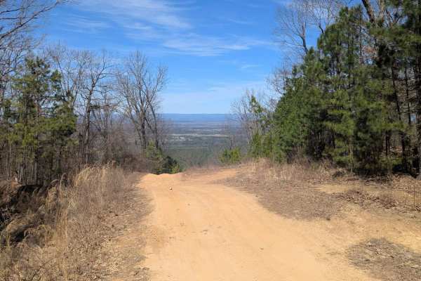
52 Humps
At only 1 miles long, the trail offers scenic views at the top, small rocky ledges, small ruts, and (its namesake) 52 rain humps put in to control erosion. Whether ran top to bottom or the other way, the trail is a fun one. When wet, the trail can be very tricky. There is a spot of two of clay that ...
Learn more about 52 Humps
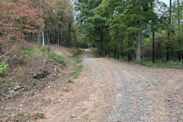
FS 96058A
This through route connects Spiderweb (FS 1622B) with Little Bigger Road through the Mount Magazine Ranger District of the Ozark National Forest. Forest Service maps identify FS 1622B as part of the road network near Sorghum Hollow. The route follows a graded gravel and dirt surface, with loose grav...
Learn more about FS 96058A
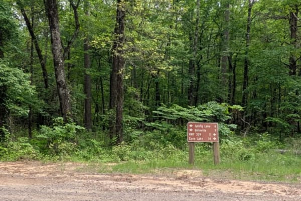
Spring Lake Northern Access Road
Spring Lake Northern Access Road is a wide, well-maintained route that winds through scenic farmland, offering a peaceful and open drive. However, the trail surface is severely corrugated, particularly on the ascents and descents, making cautious driving essential to avoid vehicle damage. While the ...
Learn more about Spring Lake Northern Access Road
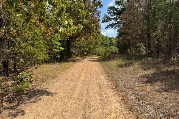
Pine Grove
This large loop route travels through the forest on a mixture of maintained gravel, packed dirt, and narrower two-track. The surroundings consist primarily of pine and hardwood forest, with younger pines, grasses, brush, and dense understory growing along the road. Several sections become tightly en...
Learn more about Pine Grove
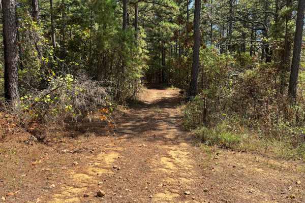
Piney Ridge
The trail consists primarily of packed dirt with scattered gravel and small rocks, while pine needles and fallen leaves cover much of the surface beneath the tree canopy. Mature pines and hardwoods surround the route, with thick brush, younger trees, and low-hanging branches growing close to the tra...
Learn more about Piney Ridge
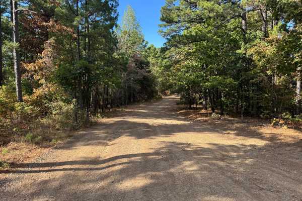
Huckleberry Pond
This out-and-back route travels past Huckleberry Pond before continuing to Buzzard's Rock, where a short walk from the end of the motorized route leads to an expansive overlook across the forested valleys and ridgelines surrounding Mount Magazine. The surface varies between compacted dirt, fine grav...
Learn more about Huckleberry Pond
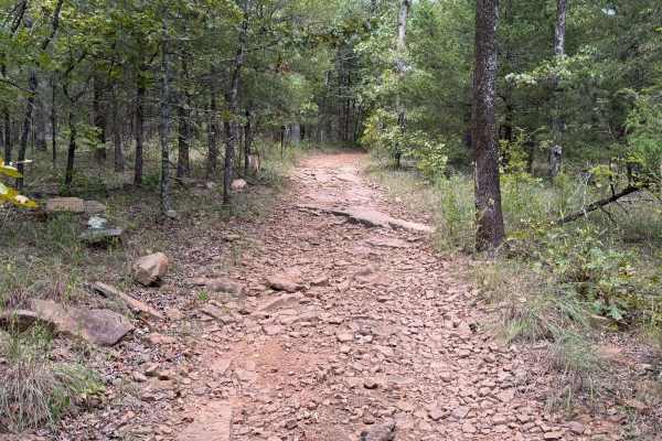
Huckleberry Mountain - Trail 2611
This is a seasonal-only trail (June - March) OHV (ATV, UTV, MC) that circles Huckleberry Mountain and is very tight-winding at times through thick forest. This is a very popular trail with several overlooks to walk out to. Views include the Arkansas River, Lake Dardanelle, and the Arkansas Nuclear O...
Learn more about Huckleberry Mountain - Trail 2611
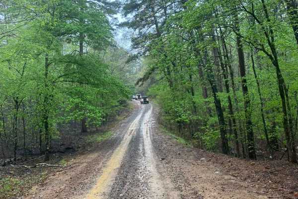
Little Bigger Road
Little Bigger Road is an easy, well-maintained gravel road that serves as a primary access route into deeper trail systems near Mount Magazine, making it ideal for reaching more technical trails without much effort. It had been raining all night, so conditions were pretty wet, but the road held up w...
Learn more about Little Bigger Road
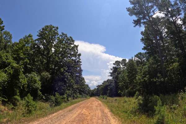
Rich Mountain Byway
This is a pretty short, basic, run-of-the-mill dirt road that leads to some very nice scenic areas. The road is smooth for the most part, with no ruts or mud holes, making it more of a Sunday drive down a backroad. There are plenty of deer along this road, so use caution, and a bunch of rabbits may ...
Learn more about Rich Mountain Byway
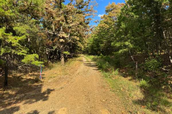
Put Up
This route follows a narrow forest road through a mixture of mature pine and hardwood woodland. The surface varies between compacted dirt, fine gravel, scattered loose rock, and sections where grass and other vegetation have become established between the tire tracks. Young pines, mature oaks, shrub...
Learn more about Put Up
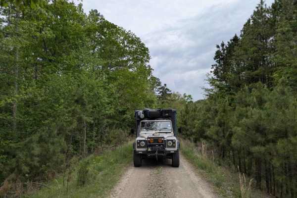
Bramlett R
Bramlett is a rugged two-track trail that starts bumpy, briefly smooths out, and then deteriorates into a rocky, winding path featuring several mud pits and a steep, off-camber section when approached from the north. Drivers will also encounter large off-camber humps, scattered rocks, and a few stre...
Learn more about Bramlett R
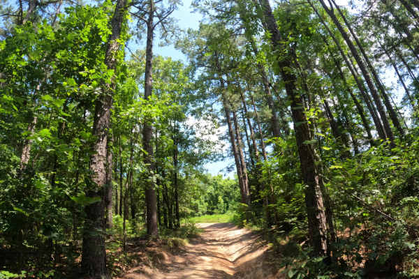
Churchman
Starting, this trail had me at 15 degrees off camber. You’ll find water holes, ruts, and mud holes. It was a mixture of sand, rocks, dirt roads, and mud. It wasn’t too demanding. The trail does get pretty slim in some areas, but for the most part very manageable. It was scenic, and trees give off lo...
Learn more about Churchman
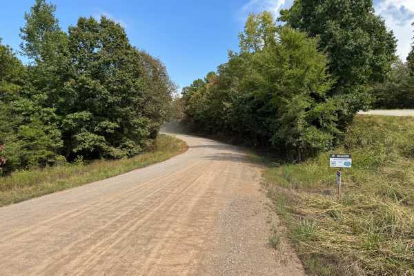
Red Bench
This through route connects St. Louis Valley Road with Arkansas Highway 309 and travels through the Mount Magazine Wildlife Management Area. The road is primarily a maintained gravel surface with sections of packed dirt and loose gravel. Most of the route is wide enough for two vehicles to pass comf...
Learn more about Red Bench
ATV trails near Morrison Bluff, Arkansas
Explore ATV-friendly trails near you. These trails are accessible for vehicles up to 50 inches wide, perfect for ATVs and smaller off-road machines.
St. Louis Valley
This through route provides a connection between Shoal Creek and Arkansas Highway 22. The road is generally wide enough for two vehicles to pass and consists primarily of maintained gravel and packed dirt. Surrounding terrain transitions from more open rural areas into dense mixed forest dominated b...
Learn more about St. Louis Valley
Shoal Creek - FS 1604
Shoal Creek Road is an easy, well-maintained gravel route that follows Shoal Creek and provides access to dispersed camping and nearby trail systems. It’s a great entry-level drive with scenic creek crossings and access to more adventurous trails at the far end. Maintained gravel road getting to Sho...
Learn more about Shoal Creek - FS 1604
Hickory Grove
This through route connects Canada 1680 with St. Louis Valley, traveling through a heavily forested landscape of mature pines, hardwoods, younger trees, and dense understory vegetation. The surface varies between packed red dirt, gravel, and sections with loose rock, with several areas that collect ...
Learn more about Hickory Grove
FS 9066D
This trail is a short but punchy hill climb that offers a solid challenge with loose rock, shelves, and steep grades in a classic Ozark hardwood forest setting. The route features a steady climb with multiple technical sections, including rock shelves and ledges that require careful tire placement, ...
Learn more about FS 9066D
UTV/side-by-side trails near Morrison Bluff, Arkansas
Find UTV and side-by-side trails near you. These trails accommodate vehicles up to 60 inches wide, ideal for UTVs, side-by-sides, and wider off-road rigs.
St. Louis Valley
This through route provides a connection between Shoal Creek and Arkansas Highway 22. The road is generally wide enough for two vehicles to pass and consists primarily of maintained gravel and packed dirt. Surrounding terrain transitions from more open rural areas into dense mixed forest dominated b...
Learn more about St. Louis Valley
Shoal Creek - FS 1604
Shoal Creek Road is an easy, well-maintained gravel route that follows Shoal Creek and provides access to dispersed camping and nearby trail systems. It’s a great entry-level drive with scenic creek crossings and access to more adventurous trails at the far end. Maintained gravel road getting to Sho...
Learn more about Shoal Creek - FS 1604
Hickory Grove
This through route connects Canada 1680 with St. Louis Valley, traveling through a heavily forested landscape of mature pines, hardwoods, younger trees, and dense understory vegetation. The surface varies between packed red dirt, gravel, and sections with loose rock, with several areas that collect ...
Learn more about Hickory Grove
FS 9066D
This trail is a short but punchy hill climb that offers a solid challenge with loose rock, shelves, and steep grades in a classic Ozark hardwood forest setting. The route features a steady climb with multiple technical sections, including rock shelves and ledges that require careful tire placement, ...
Learn more about FS 9066D
The onX Offroad Difference
onX Offroad combines trail photos, descriptions, difficulty ratings, width restrictions, seasonality, and more in a user-friendly interface. Available on all devices, with offline access and full compatibility with CarPlay and Android Auto. Discover what you're missing today!
Open Trail Map