Trail Overview
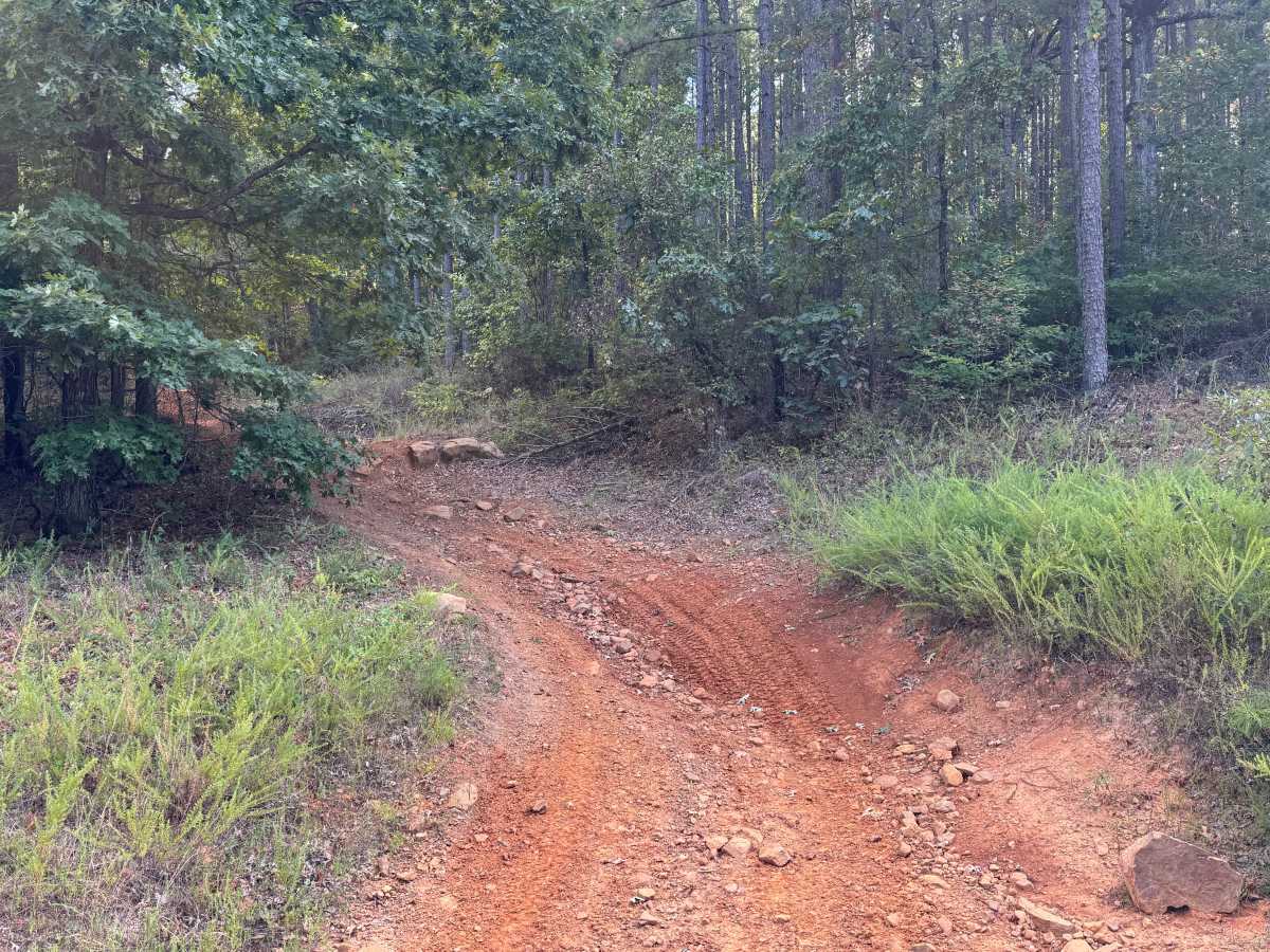
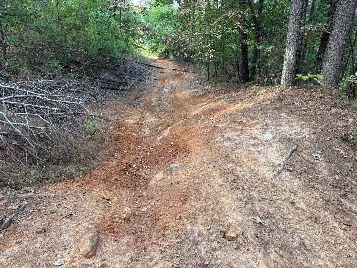
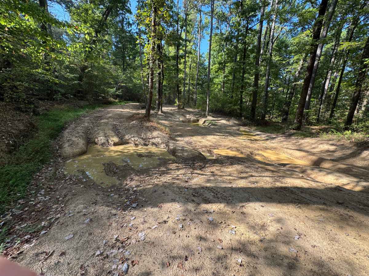
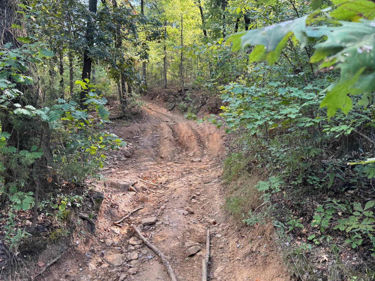
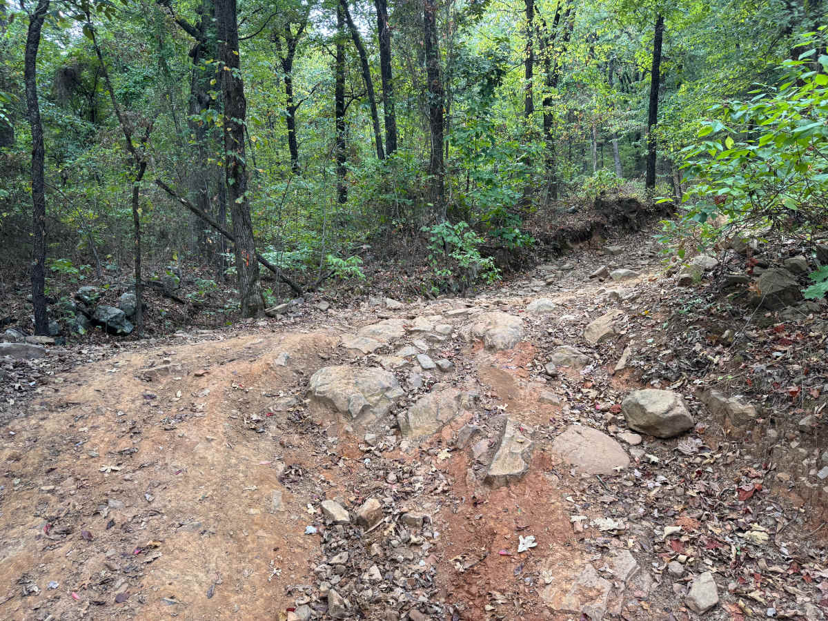
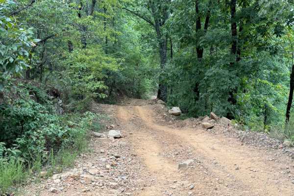
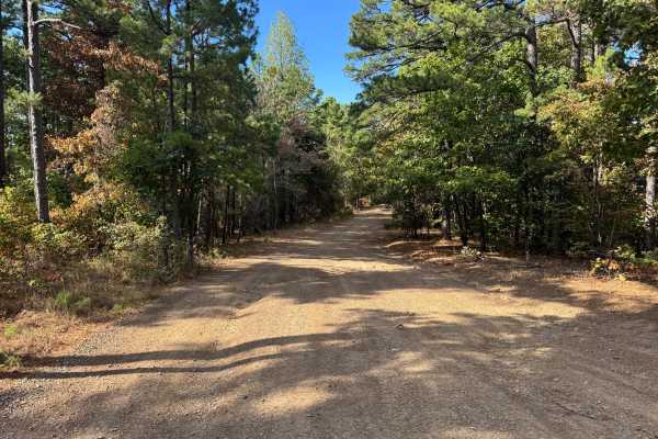
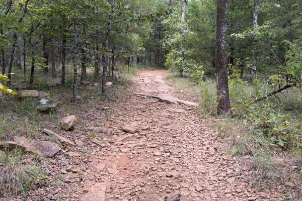
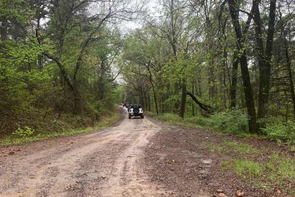
This route travels through steep, rugged terrain and is considerably rougher than many of the surrounding forest roads. The roadway climbs and descends through dense pine and hardwood forest, with mature trees, younger growth, shrubs, vines, and other understory vegetation surrounding the narrow corridor. The surface changes between native red and tan dirt, loose gravel, exposed bedrock, embedded rock, and larger protruding rocks. Natural water erosion has carved deep channels and ruts into several sections, while other areas contain uneven rocky shelves and heavily washed terrain. The steep hills combined with the irregular surface create considerable changes in elevation and require substantial suspension articulation in places. Low areas may also retain muddy standing water following rainfall. The route is generally only one vehicle wide with almost no room for opposing vehicles to pass, and downed trees, branches, and wildlife may also be encountered.
Difficulty
Steep grades, deep erosion ruts, rocky climbs, and exposed rocks up to 18 inches tall require careful tire placement, good ground clearance, and substantial suspension articulation. Loose terrain on the climbs can also create traction challenges.
History
The Mount Magazine area has a long history of transportation, forestry, and recreation. During the Great Depression, federal programs including the Civilian Conservation Corps and Works Progress Administration developed roads and recreation infrastructure around the mountain. Cove Lake was constructed as part of the Mount Magazine land-use project and was completed in 1938, while CCC crews based at nearby Blue Mountain performed forestry work and improved roads throughout the area. Many of today's routes travel through the same national forest landscape that was extensively managed and developed during this period.