Trail Overview
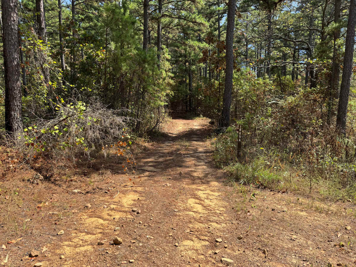
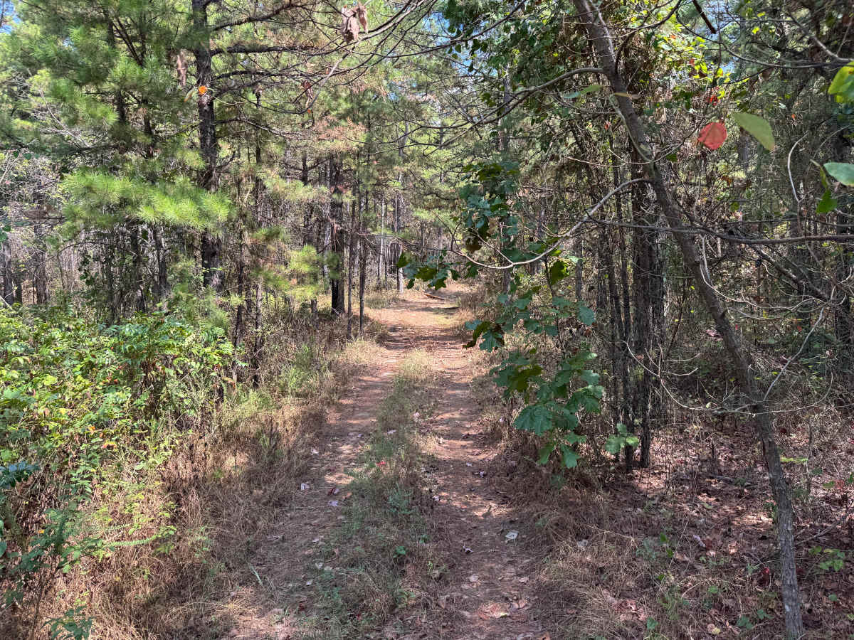
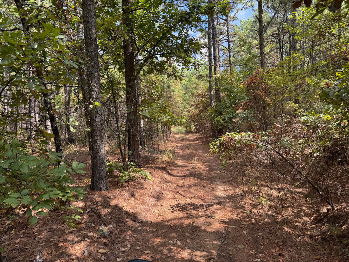
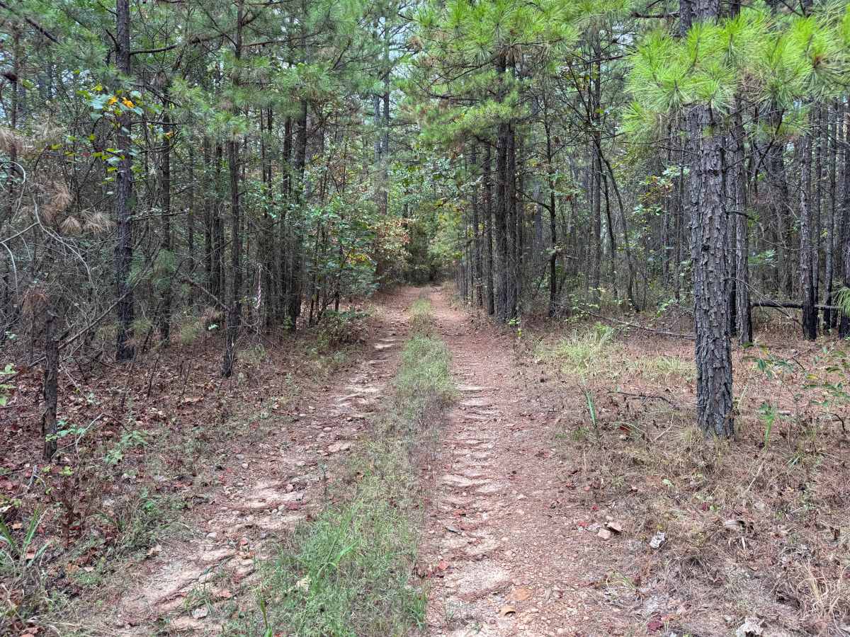
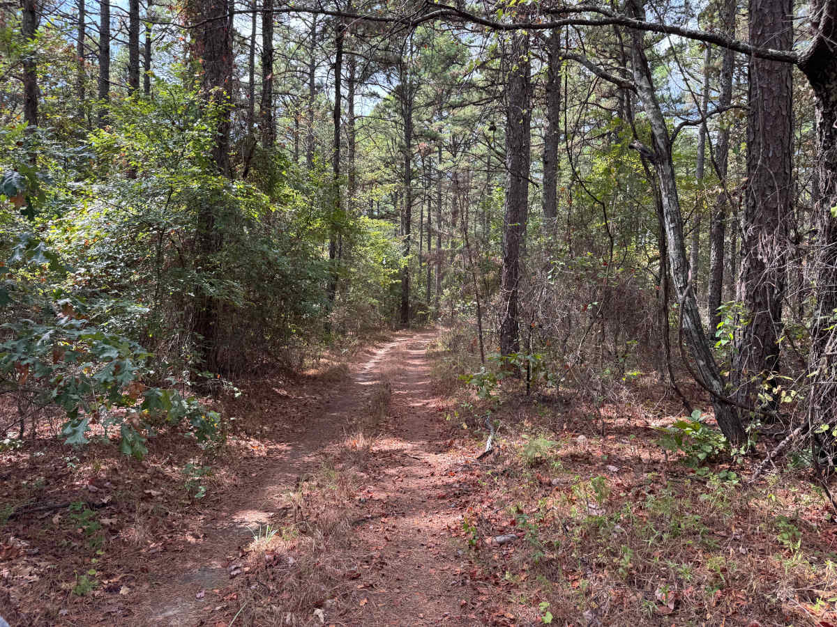
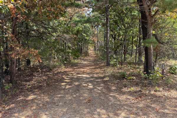
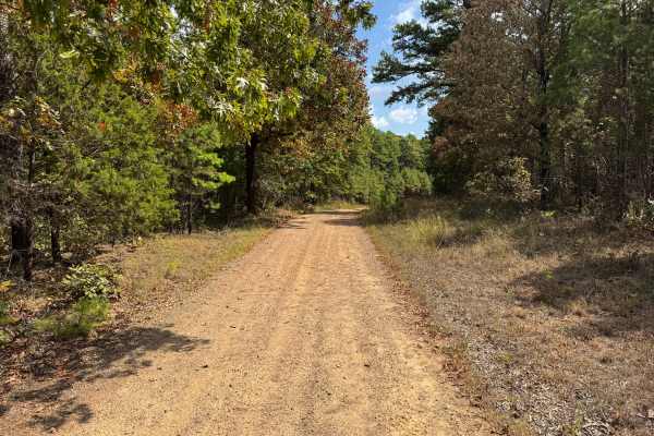
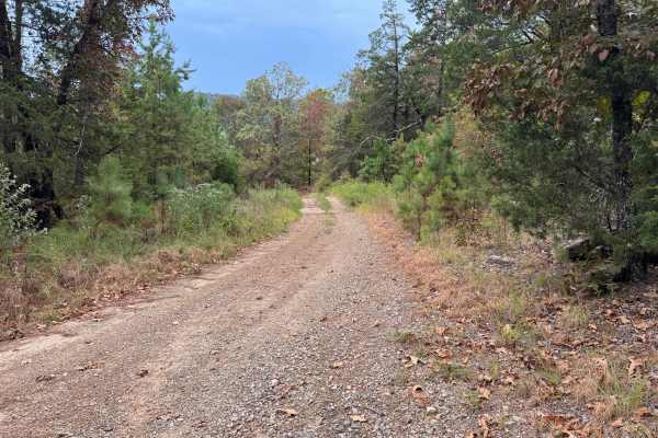
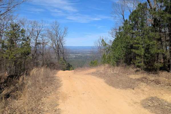
The trail consists primarily of packed dirt with scattered gravel and small rocks, while pine needles and fallen leaves cover much of the surface beneath the tree canopy. Mature pines and hardwoods surround the route, with thick brush, younger trees, and low-hanging branches growing close to the travel path. Pinstriping and scratches to vehicle paint are very likely in the tighter sections. The route is generally one vehicle wide with limited areas available for vehicles to pass. Expect typical dips and whoops along the way as the trail winds through the forest. Wildlife is also common, including deer, birds such as roadrunners, and spiders. Large spider webs are common throughout the area and may stretch completely across the trail, resulting in vehicles driving directly through them.
Difficulty
The route has typical dips, whoops, scattered gravel, and small rocks with no major obstacles. It's narrow and overgrown sections have a high potential for pinstriping and scratches to your vehicle's paint.
History
The Mount Magazine area has a long history of transportation, forestry and recreation. During the Great Depression, federal programs including the Civilian Conservation Corps and Works Progress Administration developed roads and recreation infrastructure around the mountain. Cove Lake was constructed as part of the Mount Magazine land-use project and was completed in 1938, while CCC crews based at nearby Blue Mountain performed forestry work and improved roads throughout the area. Many of today's routes travel through the same national forest landscape that was extensively managed and developed during this period.

 Offroad