Trail Overview
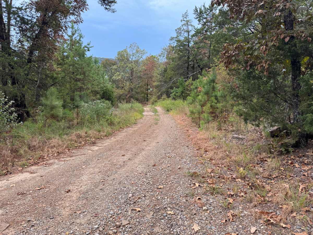
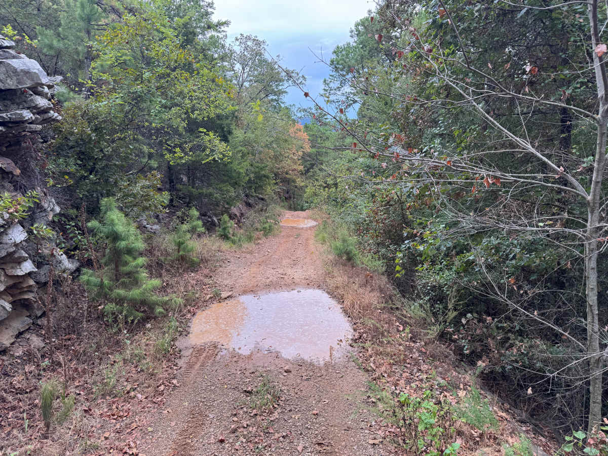
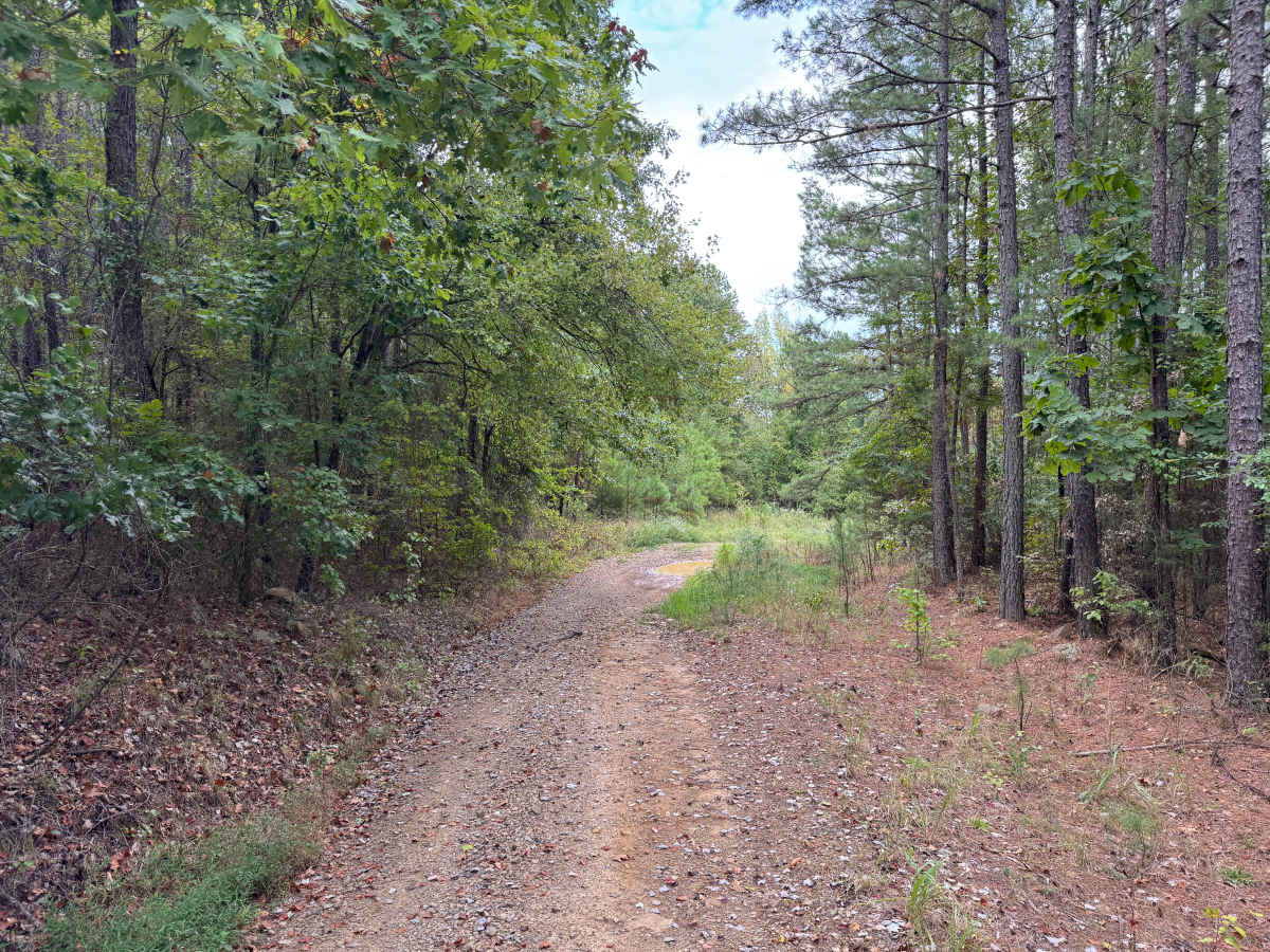
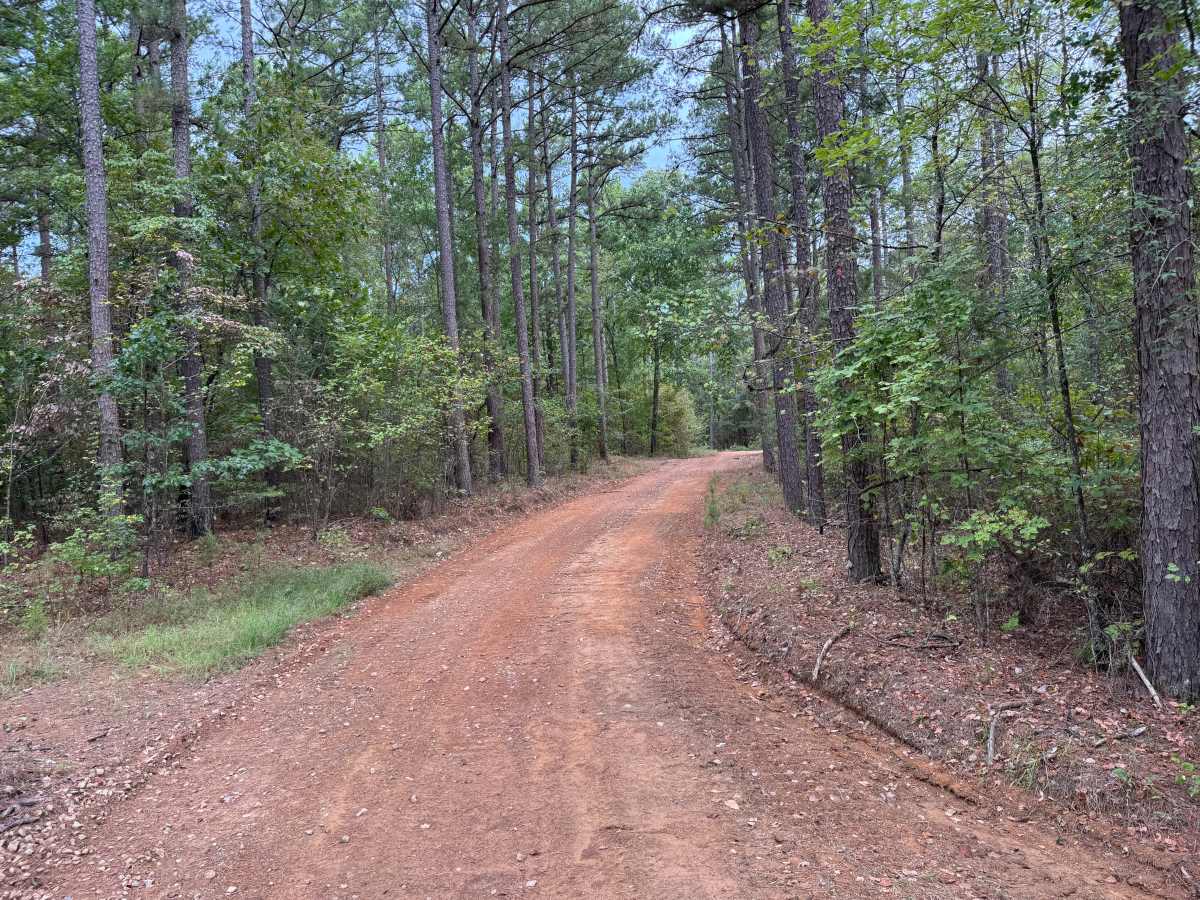
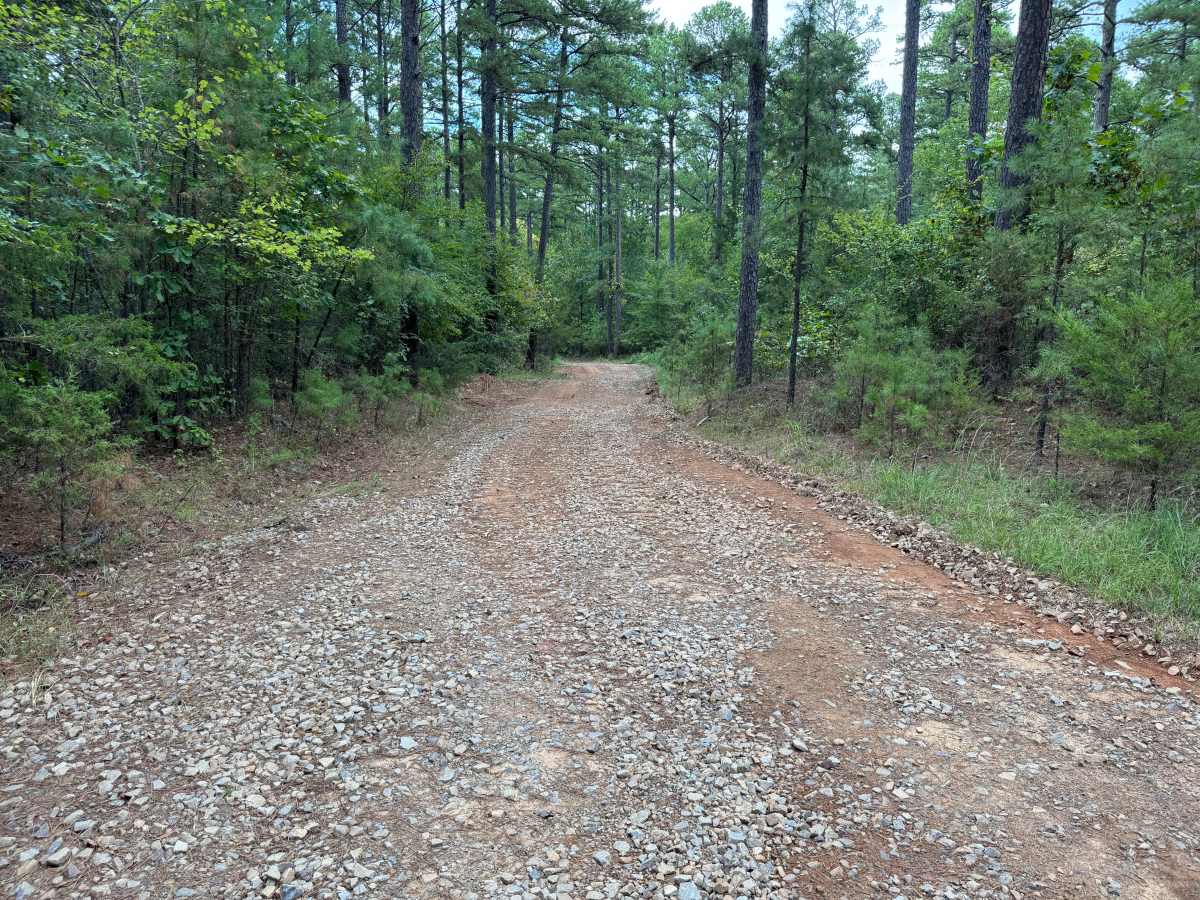
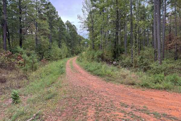
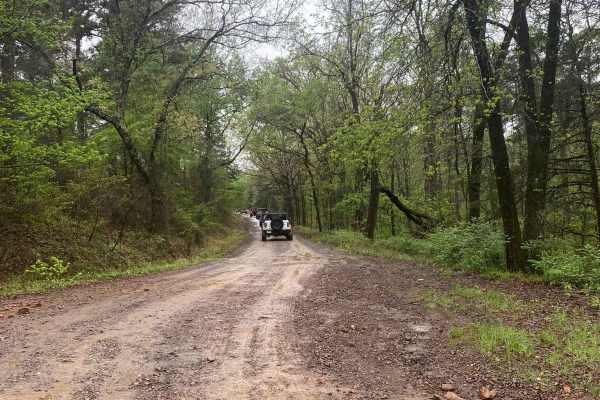
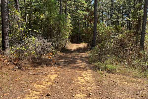
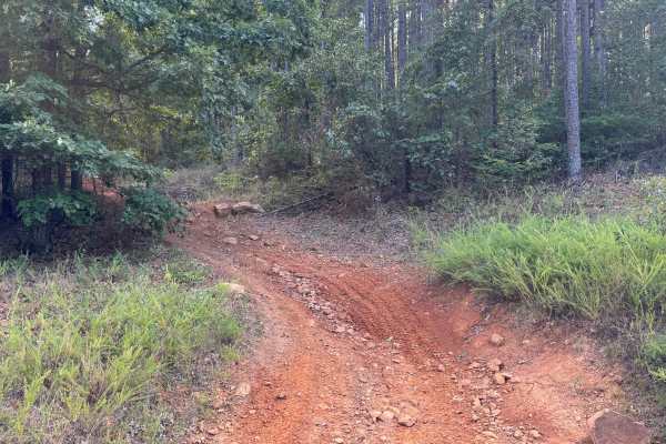
This through route connects Canada 1680 with St. Louis Valley, traveling through a heavily forested landscape of mature pines, hardwoods, younger trees, and dense understory vegetation. The surface varies between packed red dirt, gravel, and sections with loose rock, with several areas that collect standing water and form mud puddles after rainfall. Portions of the route are relatively wide and open, while other sections narrow as vegetation grows closer to the roadway. Active forest management appears to be occurring in the surrounding area, so watch for equipment and trucks while traveling the route. The road also includes noticeable elevation changes as it winds through the forest.
Difficulty
Steeper grades with whoops require some attention to speed and wheelbase, while low areas may contain mud and standing water after rainfall. Otherwise, there are no major obstacles along the route.
History
The Mount Magazine area has a long history of transportation, forestry and recreation. During the Great Depression, federal programs including the Civilian Conservation Corps and Works Progress Administration developed roads and recreation infrastructure around the mountain. Cove Lake was constructed as part of the Mount Magazine land-use project and was completed in 1938, while CCC crews based at nearby Blue Mountain performed forestry work and improved roads throughout the area. Many of today's routes travel through the same national forest landscape that was extensively managed and developed during this period.

 Offroad