Trail Overview
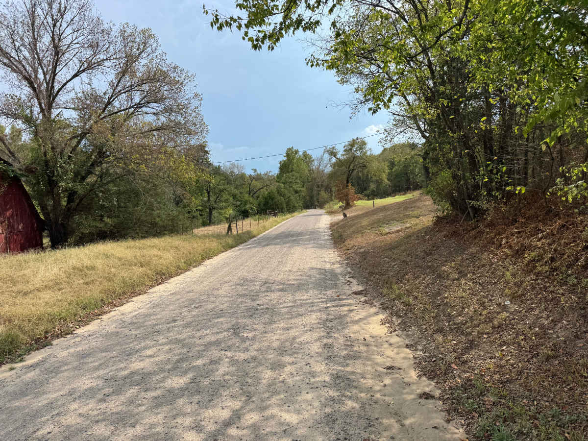
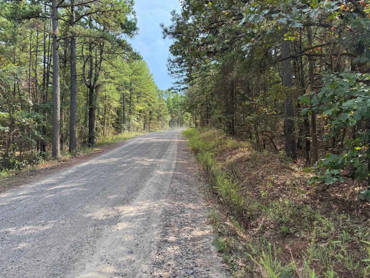
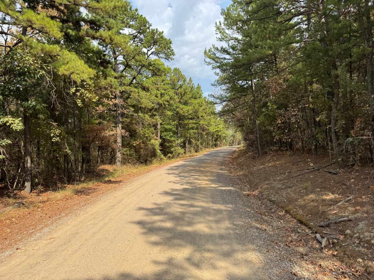
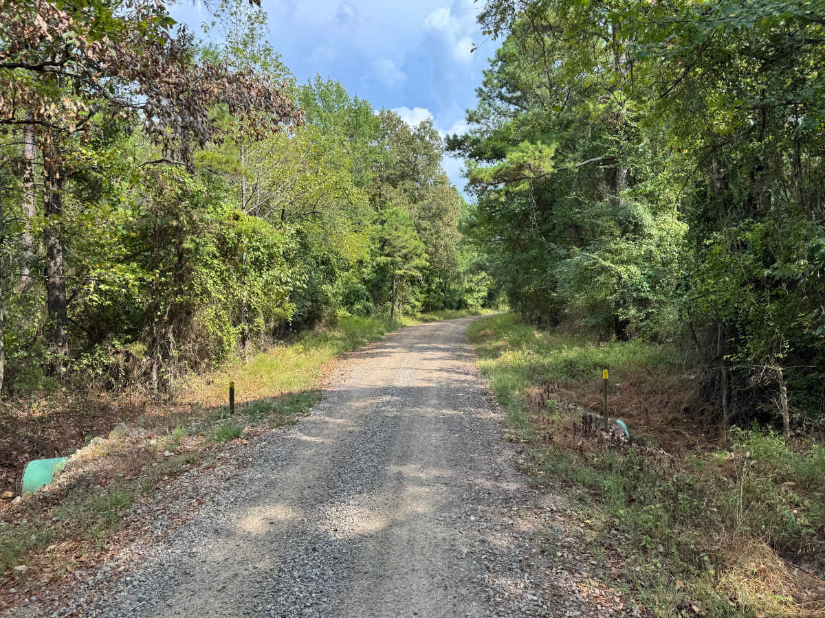
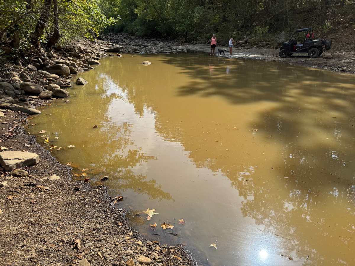
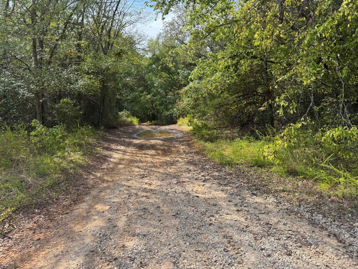
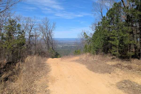
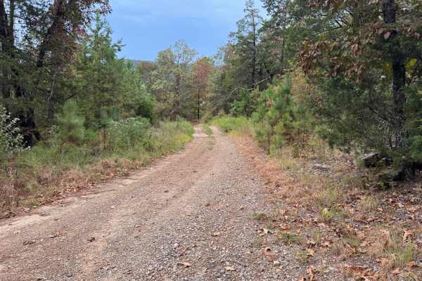
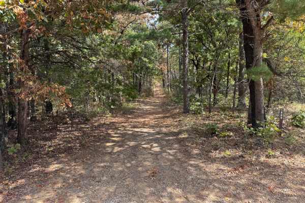
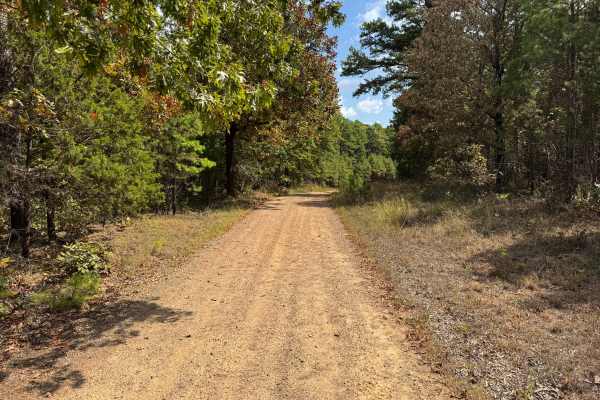
This through route provides a connection between Shoal Creek and Arkansas Highway 22. The road is generally wide enough for two vehicles to pass and consists primarily of maintained gravel and packed dirt. Surrounding terrain transitions from more open rural areas into dense mixed forest dominated by pines and hardwoods, with thick brush and other vegetation along the roadside. During dry weather, traffic can produce considerable dust along the gravel sections. The route crosses Shoal Creek, where the broad creek bed contains gravel, cobble, and larger rounded rocks. Water depth and flow can change considerably following rainfall, so current conditions should be checked before attempting the crossing. Forest Service information for the area's trail system specifically warns that high water can make Shoal Creek crossings dangerous, while crossings are generally manageable at normal water levels.
Difficulty
This maintained gravel and dirt route has no major obstacles under normal conditions. The primary concern is the Shoal Creek water crossing, which can become significantly deeper and faster following heavy rainfall and may become impassable during high-water conditions.
History
The Mount Magazine area has a long history of transportation, forestry and recreation. During the Great Depression, federal programs including the Civilian Conservation Corps and Works Progress Administration developed roads and recreation infrastructure around the mountain. Cove Lake was constructed as part of the Mount Magazine land-use project and was completed in 1938, while CCC crews based at nearby Blue Mountain performed forestry work and improved roads throughout the area. Many of today's routes travel through the same national forest landscape that was extensively managed and developed during this period.