
Dirt Bike Trails
Near Longville, Minnesota
Explore All Dirt Bike Trails Near Longville, Minnesota
Dirt Bike Trails Near Longville, Minnesota
Discover the best dirt bike trails near you. Browse trail maps, check difficulty ratings, and find your next adventure — whether you're looking for a quick ride or an all-day expedition.
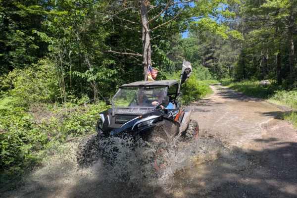
FS 3579
This trail begins as a wide, well-maintained gravel road that travels past a small lake, an open field, and patches of forest. It's an easy and scenic start, but after a noticeable change in the road, a sign appears warning of active logging operations ahead. From there, the trail climbs steadily in...
Learn more about FS 3579
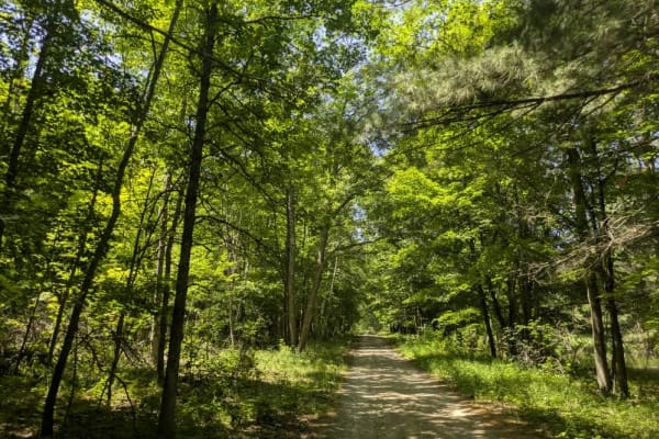
2103
From the south, this trail begins at a large, open parking area with a boat launch located beside a lake bordered by reeds and grass. Prominent signage in the area makes it clear that camping is not permitted, and the presence of a parked ranger vehicle suggests regular patrols. From the launch, the...
Learn more about 2103
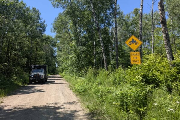
2117
This trail follows a winding path through a mixed landscape and appears to be only partially maintained. In several sections, the surface is uneven and shows signs of water damage, with potholes and erosion present despite the presence of a few active residences along the route. Wet areas are visibl...
Learn more about 2117
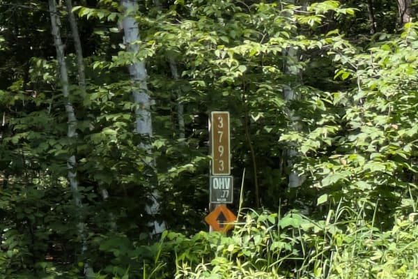
FS 3790
This forested trail offers a pleasant drive along a mostly smooth route, although drivers should be prepared for occasional potholes and some water damage in certain areas. The surface is a mix of gravel and sand, which can become uneven after rain. The trail passes through wet areas and is surround...
Learn more about FS 3790
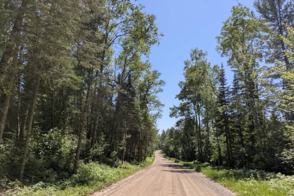
53
This trail begins off Highway 4 and follows a wide, well-maintained gravel surface. It is generally dusty and winds its way through a mix of open fields and forested stretches. Along the way, the trail passes several rural homesteads and tends to carry a fair amount of local traffic, so it's best to...
Learn more about 53
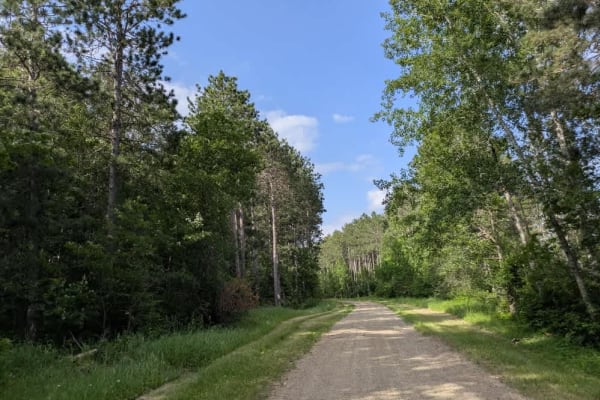
FS 3759
This trail offers a bit of a surprise for those relying on maps, which suggest a narrow and overgrown path through the forest. In reality, the route is mostly smooth and well-maintained, aside from a few potholes and areas showing signs of water damage. The surface varies between gravel, sand, and m...
Learn more about FS 3759
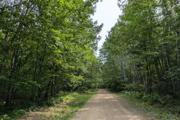
3794
This trail begins as a wide, well-maintained gravel road, suitable for two vehicles, and soon reaches a clearing that can be used as a parking area or a spot to offload ATVs and side-by-sides. Beyond this point, the trail narrows considerably, becoming a two-track suited for single-vehicle passage....
Learn more about 3794
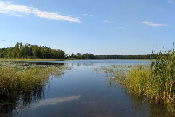
FS 30476
This trail begins at a public water access point located near a paved road and immediately climbs uphill on a wide, well-maintained gravel surface. From there, it passes by a few attractive residences before descending again and eventually reaching the lake. There is also a walking trail along this ...
Learn more about FS 30476
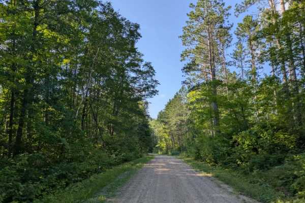
2321
This trail begins near the town of Remer, which is notable for having a well-regarded butchery, and stretches for a considerable distance through a mix of wooded terrain. The road itself is wide and well-maintained in many sections, easily accommodating two vehicles, though it narrows to single-vehi...
Learn more about 2321
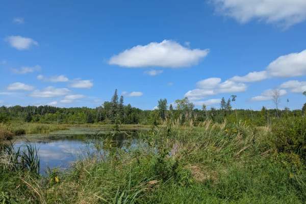
2113
This trail quickly shifts into a rougher, unmaintained route. It is primarily gravel but includes stretches of sand and mud as it winds through dense forest. The trail alternates between narrow single-vehicle sections and slightly wider areas that can accommodate two vehicles at a time. Elevation ch...
Learn more about 2113
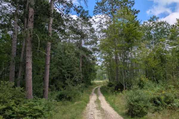
Loon Lake Road
The northern side of Loon Lake Trail is quite different in character from the southern section and is generally considered a moderate route, rated around a two or three in difficulty. The surface is made up mostly of sand, which becomes thick and soft in several places, with only small amounts of gr...
Learn more about Loon Lake Road
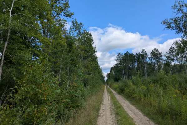
2743
This trail follows a narrow, two-track path composed of gravel and sand. It is often dusty, although some stretches remain wet, depending on recent weather conditions. The route winds through forested terrain with steady ascents and descents, and large ruts are present along portions of the track, r...
Learn more about 2743
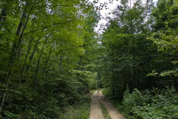
3705
This trail offers a little bit of everything in terms of off-road conditions. It is narrow and generally suited for single-vehicle travel, with no regular maintenance. The surface alternates between sandy stretches and muddy sections, with ruts forming in some areas. Water erosion is visible along t...
Learn more about 3705
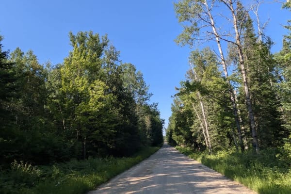
2112
This trail follows a mostly wide and well-maintained gravel route that winds through a landscape of mixed fields and predominantly forested areas. Along the way, a few smaller trails branch off from the main path, and there are occasional residences scattered throughout the route. As the trail appro...
Learn more about 2112
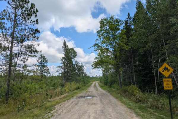
Willow River
This trail begins as a narrow two-track made up of gravel and sand, with some sections holding water depending on recent conditions. It winds through forested terrain, featuring a mix of ascents and descents, providing a steady yet manageable drive. Evidence of past logging activity is visible along...
Learn more about Willow River
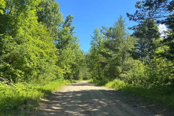
Howard Lake Spur - FS 2803
Dirt road with a scenic route. Very easy trail. Surrounded by trees with a good interest point with some benches to sit at. The trail was not demanding at all. Did this in 2WD. No steep grades or water crossings. Trail says accessible by full-width and high-clearance 4x4. I would definitely leave th...
Learn more about Howard Lake Spur - FS 2803
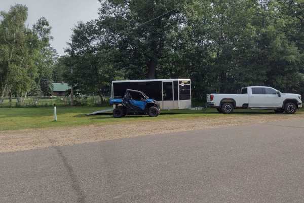
Emily - Blind Lake Trail - West 106
This section of Emily - Blind Lake TRL(West of County Road 106) is mapped from the Bloomquist Dr. ATV parking lot in Emily to the southern Crow Wing County Road 106 trail intersection. This section is 7.9 miles long and takes about an hour, including the time it took for trail pictures and a stop at...
Learn more about Emily - Blind Lake Trail - West 106
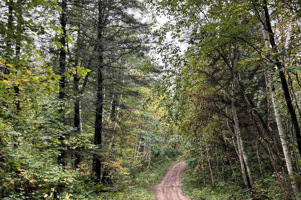
Thompson Minimum Maintenance Forest Road
Typical narrow minimum maintenance forest road. Some areas of rough mud and gravel. Overall nothing to really be worried about even in a stock SUV. There may be extra water or down branches depending on the weather. Typically 1-2 cars wide or space to pull off to get around other vehicles. Pine Moun...
Learn more about Thompson Minimum Maintenance Forest Road
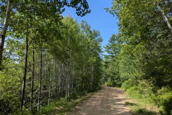
Hungry Gulch Road
This trail begins as a wide, two-vehicle gravel road that is well-maintained at the start but quickly narrows into a single-vehicle two-track. The surface shifts between sand and gravel, with muddy patches and potholes appearing as the trail winds deeper into the forest. Elevation changes bring stea...
Learn more about Hungry Gulch Road
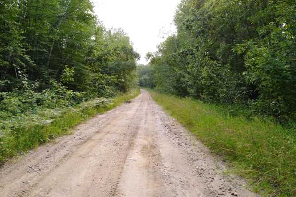
Pikus Forest Road / County Road 58
Pikus Forest Road / County Road 58 is mapped from the Moose River Connector Trail at the Aitkin / Cass County line to Cass County Road 58 near Egg Lake where the trail leaves the gravel and into the woods. This section is 5.69 miles long and takes about 15 minutes with an average speed of 21.1 MPH i...
Learn more about Pikus Forest Road / County Road 58
ATV trails near Longville, Minnesota
Explore ATV-friendly trails near you. These trails are accessible for vehicles up to 50 inches wide, perfect for ATVs and smaller off-road machines.
FS 3579
This trail begins as a wide, well-maintained gravel road that travels past a small lake, an open field, and patches of forest. It's an easy and scenic start, but after a noticeable change in the road, a sign appears warning of active logging operations ahead. From there, the trail climbs steadily in...
Learn more about FS 3579
2103
From the south, this trail begins at a large, open parking area with a boat launch located beside a lake bordered by reeds and grass. Prominent signage in the area makes it clear that camping is not permitted, and the presence of a parked ranger vehicle suggests regular patrols. From the launch, the...
Learn more about 2103
2117
This trail follows a winding path through a mixed landscape and appears to be only partially maintained. In several sections, the surface is uneven and shows signs of water damage, with potholes and erosion present despite the presence of a few active residences along the route. Wet areas are visibl...
Learn more about 2117
FS 3790
This forested trail offers a pleasant drive along a mostly smooth route, although drivers should be prepared for occasional potholes and some water damage in certain areas. The surface is a mix of gravel and sand, which can become uneven after rain. The trail passes through wet areas and is surround...
Learn more about FS 3790
UTV/side-by-side trails near Longville, Minnesota
Find UTV and side-by-side trails near you. These trails accommodate vehicles up to 60 inches wide, ideal for UTVs, side-by-sides, and wider off-road rigs.
FS 3579
This trail begins as a wide, well-maintained gravel road that travels past a small lake, an open field, and patches of forest. It's an easy and scenic start, but after a noticeable change in the road, a sign appears warning of active logging operations ahead. From there, the trail climbs steadily in...
Learn more about FS 3579
2103
From the south, this trail begins at a large, open parking area with a boat launch located beside a lake bordered by reeds and grass. Prominent signage in the area makes it clear that camping is not permitted, and the presence of a parked ranger vehicle suggests regular patrols. From the launch, the...
Learn more about 2103
2117
This trail follows a winding path through a mixed landscape and appears to be only partially maintained. In several sections, the surface is uneven and shows signs of water damage, with potholes and erosion present despite the presence of a few active residences along the route. Wet areas are visibl...
Learn more about 2117
FS 3790
This forested trail offers a pleasant drive along a mostly smooth route, although drivers should be prepared for occasional potholes and some water damage in certain areas. The surface is a mix of gravel and sand, which can become uneven after rain. The trail passes through wet areas and is surround...
Learn more about FS 3790
The onX Offroad Difference
onX Offroad combines trail photos, descriptions, difficulty ratings, width restrictions, seasonality, and more in a user-friendly interface. Available on all devices, with offline access and full compatibility with CarPlay and Android Auto. Discover what you're missing today!
Open Trail Map