Trail Overview
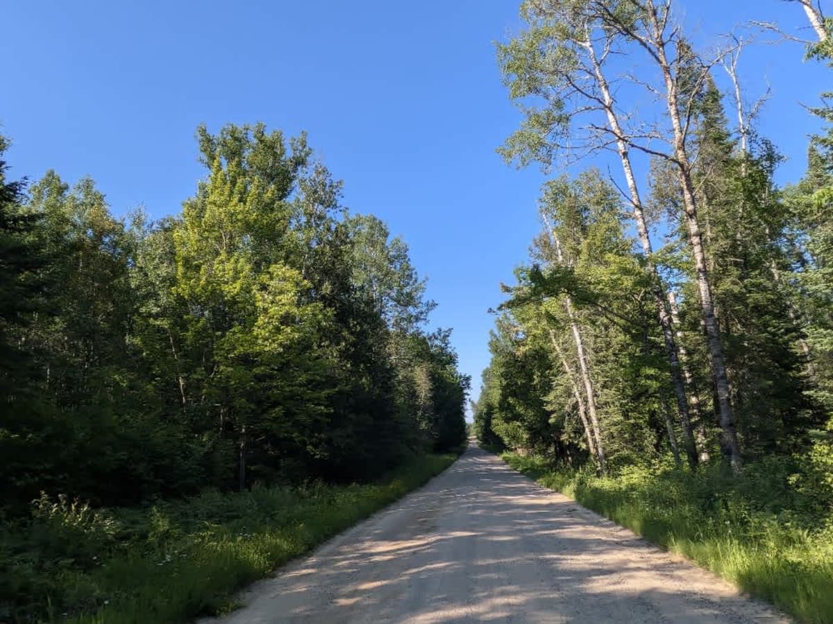
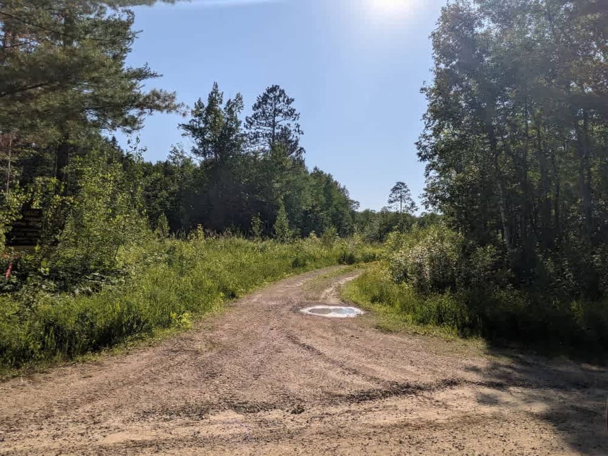
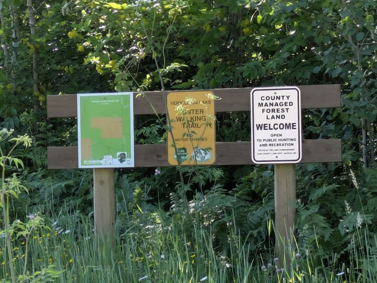
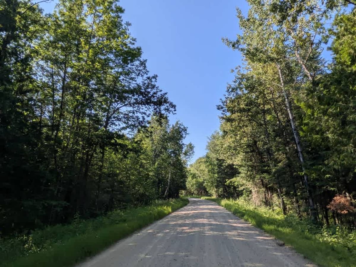
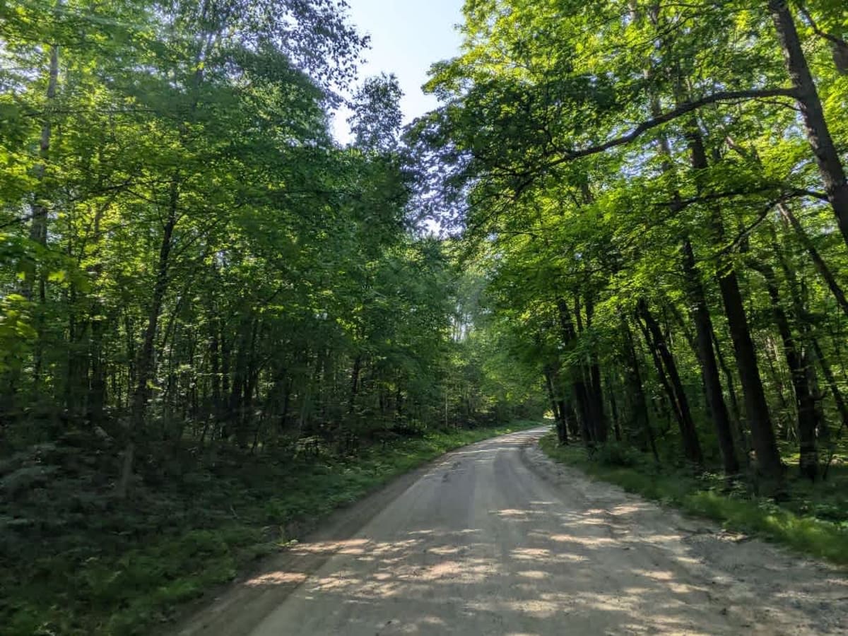
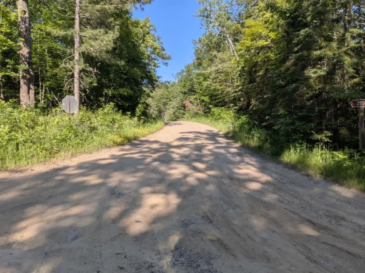
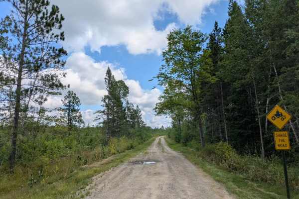
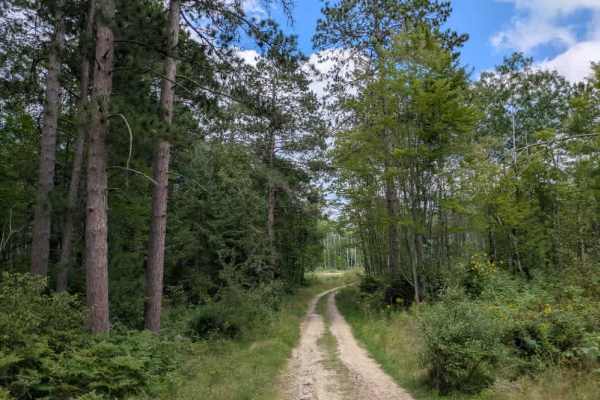
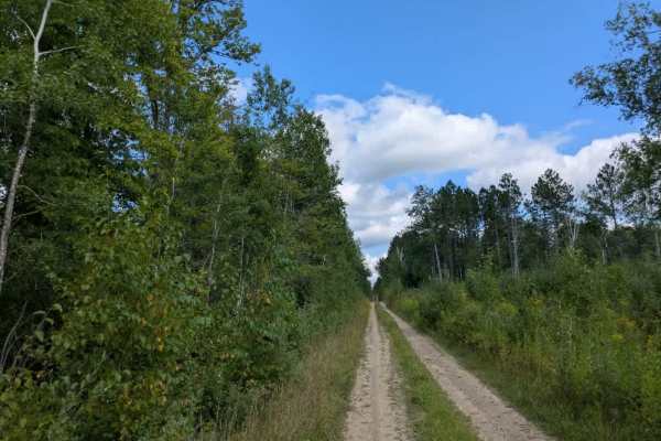
This trail follows a mostly wide and well-maintained gravel route that winds through a landscape of mixed fields and predominantly forested areas. Along the way, a few smaller trails branch off from the main path, and there are occasional residences scattered throughout the route. As the trail approaches the paved County Road 65, it passes alongside a lake bordered by numerous homes. This stretch sees increased local traffic, especially vehicles towing boats due to the presence of a public boat launch nearby, so it's important to drive with caution. In dry conditions, the road surface can become quite dusty, and slower speeds are advised both for safety and to minimize dust for nearby residents. While the drive offers a pleasant view of rural and wooded surroundings, it does not provide access to any formal or dispersed campsites. There are no facilities for water or trash disposal, and cell reception may be unreliable along certain sections of the trail.
History
Covering more than 1.6 million acres of glacial lakes, red-pine uplands, and sphagnum bogs, Minnesota's Chippewa National Forest lets motorists experience the North Woods at an unrushed pace. Paved state highways soon yield to a lattice of numbered forest roads, most of them well-graded gravel that thread between kettle ponds and stands of towering white pine, the tree that helped earn the forest its 1908 designation as one of America's first national forests. The forest harbors one of the highest breeding densities of bald eagles in the continental United States, and patient drivers often glimpse loons, black bears, and white-tailed deer as they move from shoreline to clear-cut regrowth and back again.