
Dirt Bike Trails
Near Whipholt, Minnesota
Explore All Dirt Bike Trails Near Whipholt, Minnesota
Dirt Bike Trails Near Whipholt, Minnesota
Discover the best dirt bike trails near you. Browse trail maps, check difficulty ratings, and find your next adventure — whether you're looking for a quick ride or an all-day expedition.
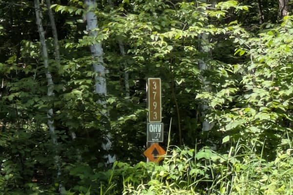
FS 3790
This forested trail offers a pleasant drive along a mostly smooth route, although drivers should be prepared for occasional potholes and some water damage in certain areas. The surface is a mix of gravel and sand, which can become uneven after rain. The trail passes through wet areas and is surround...
Learn more about FS 3790
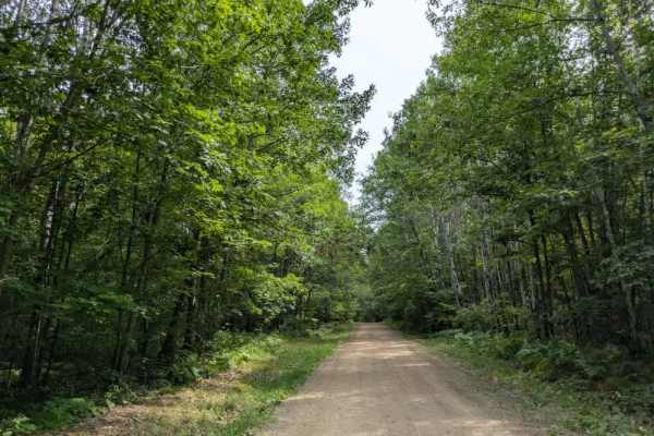
3794
This trail begins as a wide, well-maintained gravel road, suitable for two vehicles, and soon reaches a clearing that can be used as a parking area or a spot to offload ATVs and side-by-sides. Beyond this point, the trail narrows considerably, becoming a two-track suited for single-vehicle passage....
Learn more about 3794
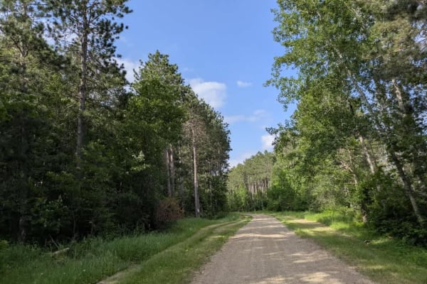
FS 3759
This trail offers a bit of a surprise for those relying on maps, which suggest a narrow and overgrown path through the forest. In reality, the route is mostly smooth and well-maintained, aside from a few potholes and areas showing signs of water damage. The surface varies between gravel, sand, and m...
Learn more about FS 3759
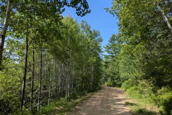
Hungry Gulch Road
This trail begins as a wide, two-vehicle gravel road that is well-maintained at the start but quickly narrows into a single-vehicle two-track. The surface shifts between sand and gravel, with muddy patches and potholes appearing as the trail winds deeper into the forest. Elevation changes bring stea...
Learn more about Hungry Gulch Road
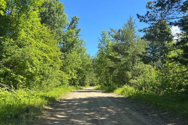
Howard Lake Spur - FS 2803
Dirt road with a scenic route. Very easy trail. Surrounded by trees with a good interest point with some benches to sit at. The trail was not demanding at all. Did this in 2WD. No steep grades or water crossings. Trail says accessible by full-width and high-clearance 4x4. I would definitely leave th...
Learn more about Howard Lake Spur - FS 2803
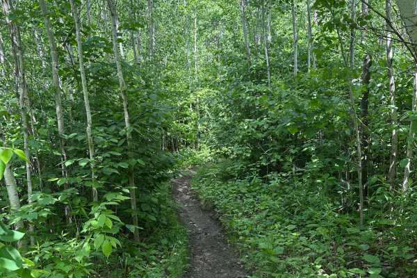
Hammer Handle
Hammer Handle is a trail with sweeping climbs and descents that has some loose rocks mixed in. The northern part of the trail has active logging, which can make the route a little confusing at first, but the orange arrows put out by Paul Bunyan Forest Riders will show you the way. If the site is act...
Learn more about Hammer Handle
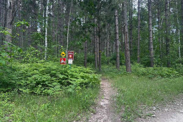
Highway 61
Highway 61 winds through tall pines up and down the hilly terrain of Paul Bunyan State Forest. Riders should expect short but occasionally steep grades, tight trees, roots, and loose rocks throughout. Riders should proceed with the understanding that deadfalls in this system are much more common tha...
Learn more about Highway 61
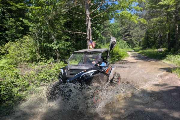
FS 3579
This trail begins as a wide, well-maintained gravel road that travels past a small lake, an open field, and patches of forest. It's an easy and scenic start, but after a noticeable change in the road, a sign appears warning of active logging operations ahead. From there, the trail climbs steadily in...
Learn more about FS 3579
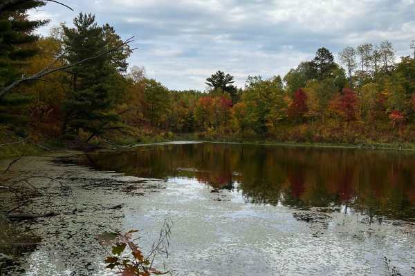
Parkway Forest Road
Parkway Forest Road is a gentle gravel forest road that splits the eastern section of Paul Bunyan State Forest in half. It stretches over 8 miles, connecting County Road 39 and County Road 23. There are many dispersed campsites along the road, with several large enough for groups to spread out on. R...
Learn more about Parkway Forest Road
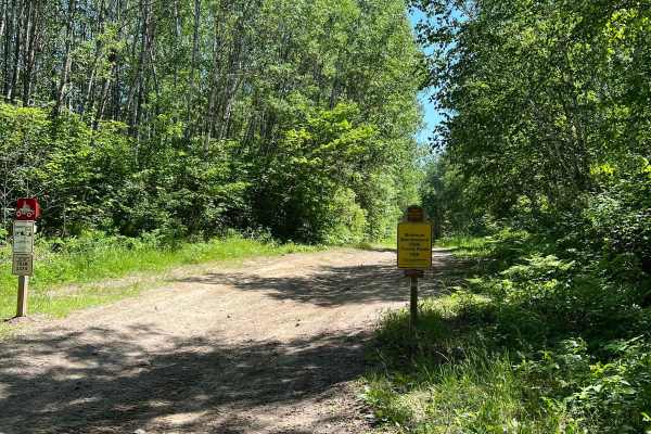
Paul Bunyan Far East Loop
This trail borders the far east side of the Paul Bunyan Trail System. This trail appeared to be marked with SxS and ATV only in some areas. It seems that certain clubs in the area have tried to create natural loops for equipment with either 2 or 4 wheels. Be on the lookout for these instances. Other...
Learn more about Paul Bunyan Far East Loop
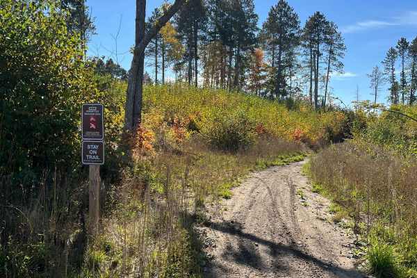
Round River Dr. Dirt Bike Short Cut
This is a really short jaunt that dirt bikers are required to take because some of the trails in this area are pretty well specified for certain types. Some water and close trees on this root but overall easy. There are a fair number of roots so when wet these could be slippery and tippy. A couple o...
Learn more about Round River Dr. Dirt Bike Short Cut
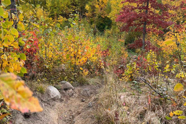
Paul Bunyan Handlebar Nail Biter
This trail is quite narrow at the time of riding with narrow trees and rutted-out narrow inclines and declines. Many areas are very thick woods or narrow passes with trees on both sides. Likely this trail is maintained by a dirt bike with a chainsaw mount. There were a few spots with large rocks but...
Learn more about Paul Bunyan Handlebar Nail Biter
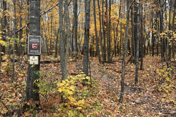
Paul Bunyan North Loop Saga
This is the longest single section of the dirt biking trail at Paul Bunyan State Forest. Though there are some small sections to hop off the trail, it's generally continuous. There are many inclines and declines throughout the trail with some large rocks and roots that typically cross the trail;they...
Learn more about Paul Bunyan North Loop Saga
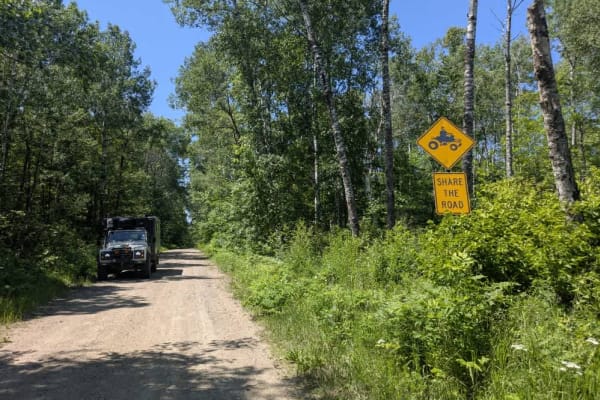
2117
This trail follows a winding path through a mixed landscape and appears to be only partially maintained. In several sections, the surface is uneven and shows signs of water damage, with potholes and erosion present despite the presence of a few active residences along the route. Wet areas are visibl...
Learn more about 2117
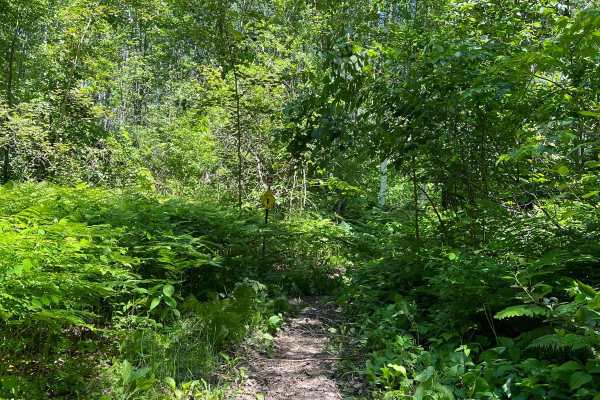
Paul Bunyan South Border
This trail is quite close to the Stompin Grounds campground but appears rather untouched. There is a really beautiful section of tall evergreens. The trail has typical roots to cross, some inclines and decline with rocks, and some narrow washed-out areas that require some concentration and engine br...
Learn more about Paul Bunyan South Border
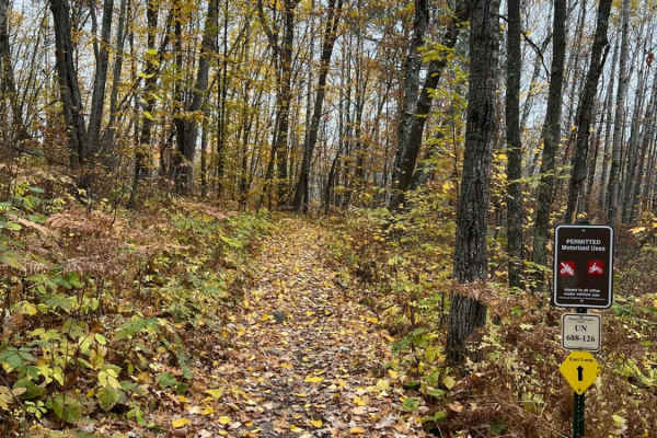
Paul Bunyan Southern Single Track Bypass
The Paul Bunyan Southern Single Track Bypass is an approachable and scenic 1.8-mile dirt bike trail designed for riders looking to quickly bypass the southern forest roads and access deeper single-track networks east of State Highway 64. Starting near the Stompin' Grounds Campground trail lot, this ...
Learn more about Paul Bunyan Southern Single Track Bypass
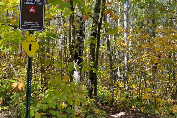
Paul Bunyan's Smooth Backwoods Cruise
This trail is quite smooth and flowy as we call it. You are able to go somewhat fast without many bumps. The trail is narrower in spots but overall a wider trail with the occasional roots and rocks but nothing nagging. Not much water. A few challenging spots and a few inclines and declines but overa...
Learn more about Paul Bunyan's Smooth Backwoods Cruise
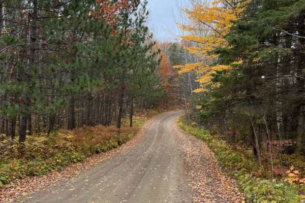
East Steamboat Lake Road
East Steamboat Lake Road is one of the main arteries in the eastern half of Paul Bunyan State Forest. It is a gentle, wide, and well-maintained gravel road. Use it to cruise the forest or to connect to several of the single-track or ATV trails along the way. There are several dispersed campsites alo...
Learn more about East Steamboat Lake Road
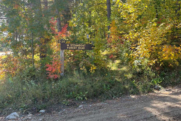
Paul Bunyan West Steamboat Forest Road
Nice wide forest road with pretty fall colors and pine trees. Some occasional ponds or water but it's more woodsy than water views. Multiple spots to disperse camp along this road and great access to many SxS, ATV, and dirt bike trails.General Note on Trail Riding in MN: Many trails heavily change i...
Learn more about Paul Bunyan West Steamboat Forest Road
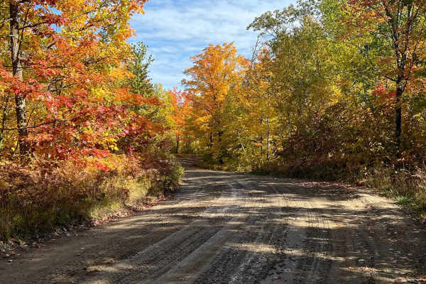
Paul Bunyan Round River Dr. Forest Road
This is a short, easy forest road with maintained gravel, pretty views, and nice fall colors. This road takes you back to some dispersed camping, other forest roads, and trails for ATVs and Dirt Bikes. Very manageable and appears to be kept up routinely. General Note on Trail Riding in MN: Many trai...
Learn more about Paul Bunyan Round River Dr. Forest Road
ATV trails near Whipholt, Minnesota
Explore ATV-friendly trails near you. These trails are accessible for vehicles up to 50 inches wide, perfect for ATVs and smaller off-road machines.
FS 3790
This forested trail offers a pleasant drive along a mostly smooth route, although drivers should be prepared for occasional potholes and some water damage in certain areas. The surface is a mix of gravel and sand, which can become uneven after rain. The trail passes through wet areas and is surround...
Learn more about FS 3790
3794
This trail begins as a wide, well-maintained gravel road, suitable for two vehicles, and soon reaches a clearing that can be used as a parking area or a spot to offload ATVs and side-by-sides. Beyond this point, the trail narrows considerably, becoming a two-track suited for single-vehicle passage....
Learn more about 3794
FS 3759
This trail offers a bit of a surprise for those relying on maps, which suggest a narrow and overgrown path through the forest. In reality, the route is mostly smooth and well-maintained, aside from a few potholes and areas showing signs of water damage. The surface varies between gravel, sand, and m...
Learn more about FS 3759
Hungry Gulch Road
This trail begins as a wide, two-vehicle gravel road that is well-maintained at the start but quickly narrows into a single-vehicle two-track. The surface shifts between sand and gravel, with muddy patches and potholes appearing as the trail winds deeper into the forest. Elevation changes bring stea...
Learn more about Hungry Gulch Road
UTV/side-by-side trails near Whipholt, Minnesota
Find UTV and side-by-side trails near you. These trails accommodate vehicles up to 60 inches wide, ideal for UTVs, side-by-sides, and wider off-road rigs.
FS 3790
This forested trail offers a pleasant drive along a mostly smooth route, although drivers should be prepared for occasional potholes and some water damage in certain areas. The surface is a mix of gravel and sand, which can become uneven after rain. The trail passes through wet areas and is surround...
Learn more about FS 3790
3794
This trail begins as a wide, well-maintained gravel road, suitable for two vehicles, and soon reaches a clearing that can be used as a parking area or a spot to offload ATVs and side-by-sides. Beyond this point, the trail narrows considerably, becoming a two-track suited for single-vehicle passage....
Learn more about 3794
FS 3759
This trail offers a bit of a surprise for those relying on maps, which suggest a narrow and overgrown path through the forest. In reality, the route is mostly smooth and well-maintained, aside from a few potholes and areas showing signs of water damage. The surface varies between gravel, sand, and m...
Learn more about FS 3759
Hungry Gulch Road
This trail begins as a wide, two-vehicle gravel road that is well-maintained at the start but quickly narrows into a single-vehicle two-track. The surface shifts between sand and gravel, with muddy patches and potholes appearing as the trail winds deeper into the forest. Elevation changes bring stea...
Learn more about Hungry Gulch Road
The onX Offroad Difference
onX Offroad combines trail photos, descriptions, difficulty ratings, width restrictions, seasonality, and more in a user-friendly interface. Available on all devices, with offline access and full compatibility with CarPlay and Android Auto. Discover what you're missing today!
Open Trail Map