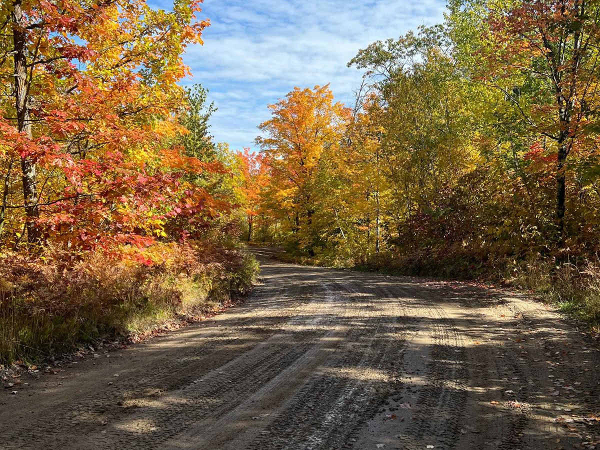
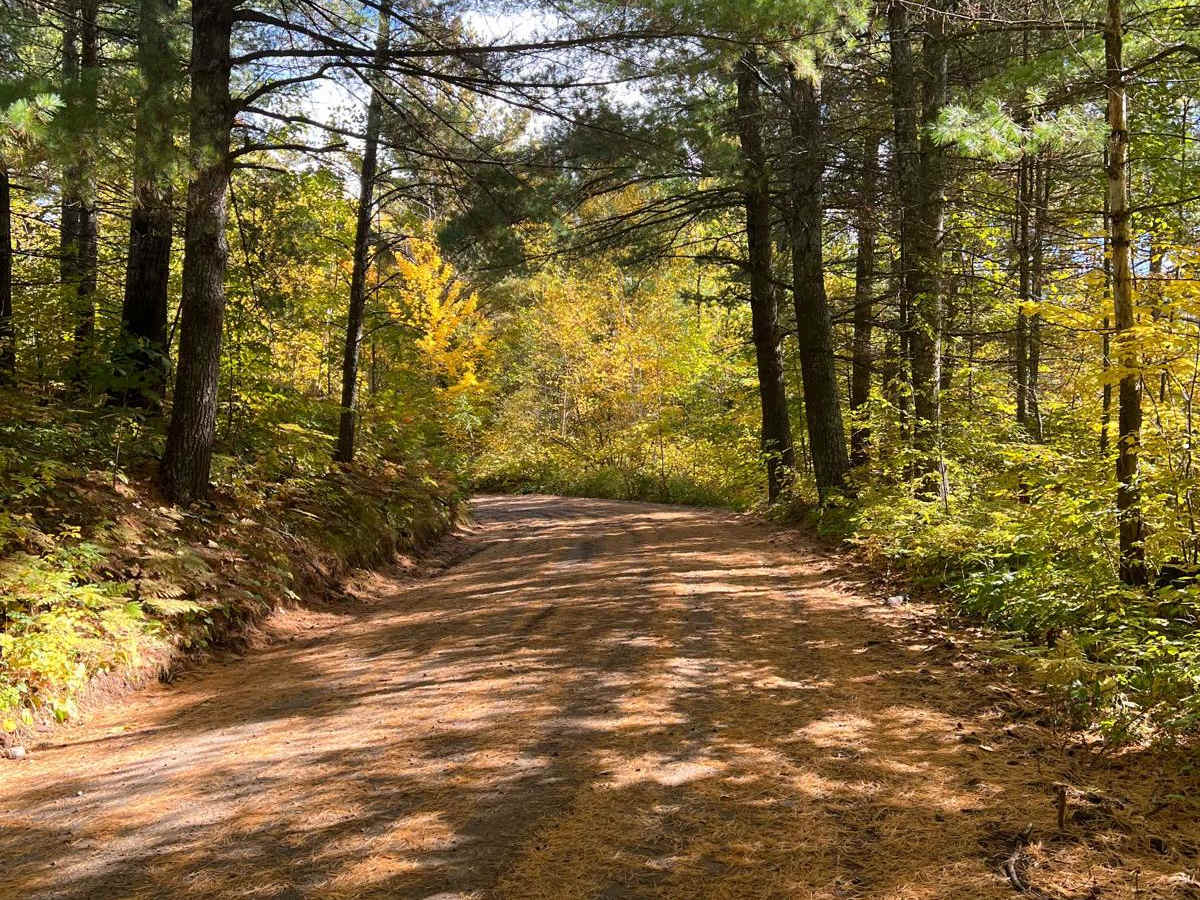
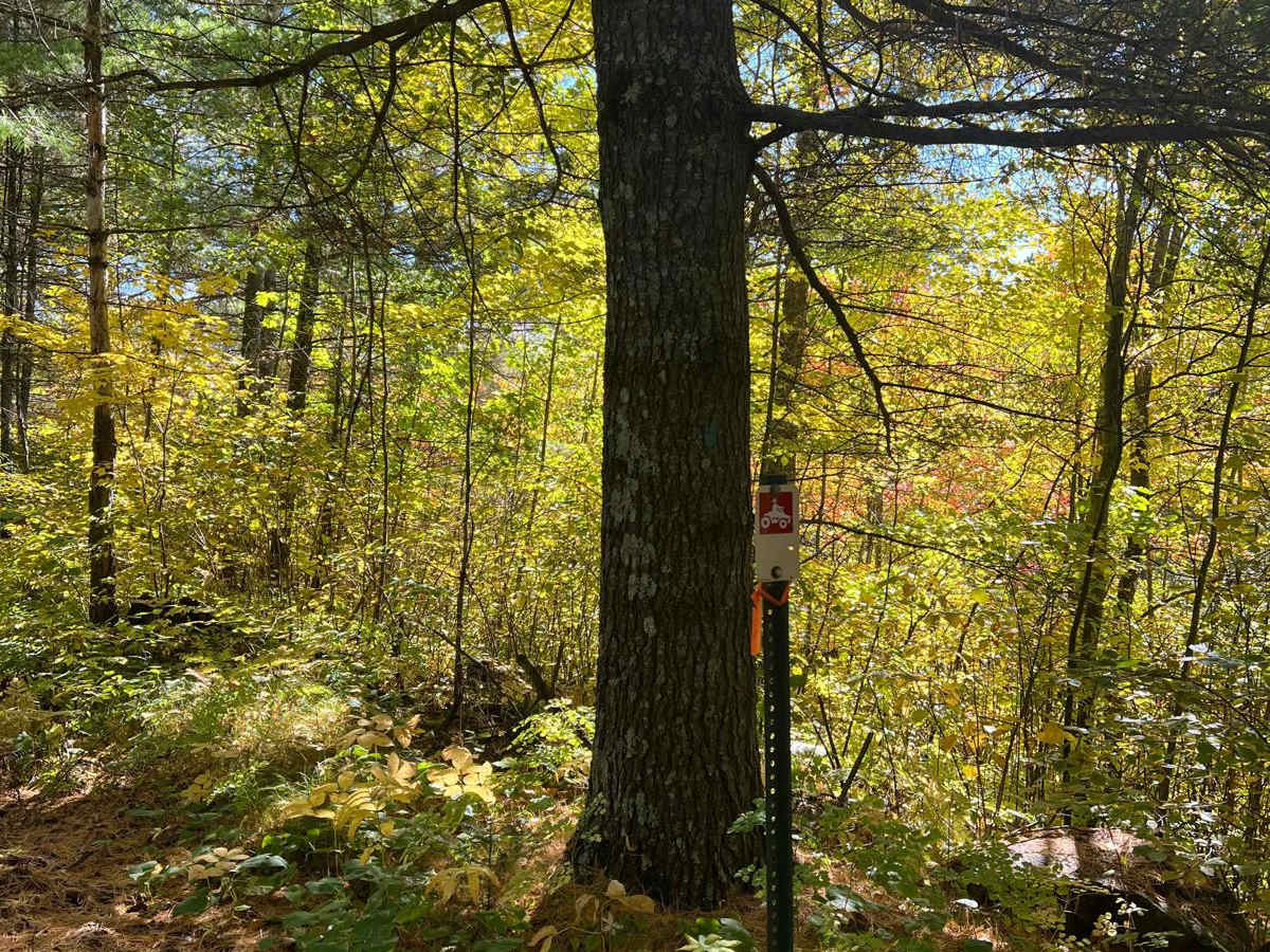
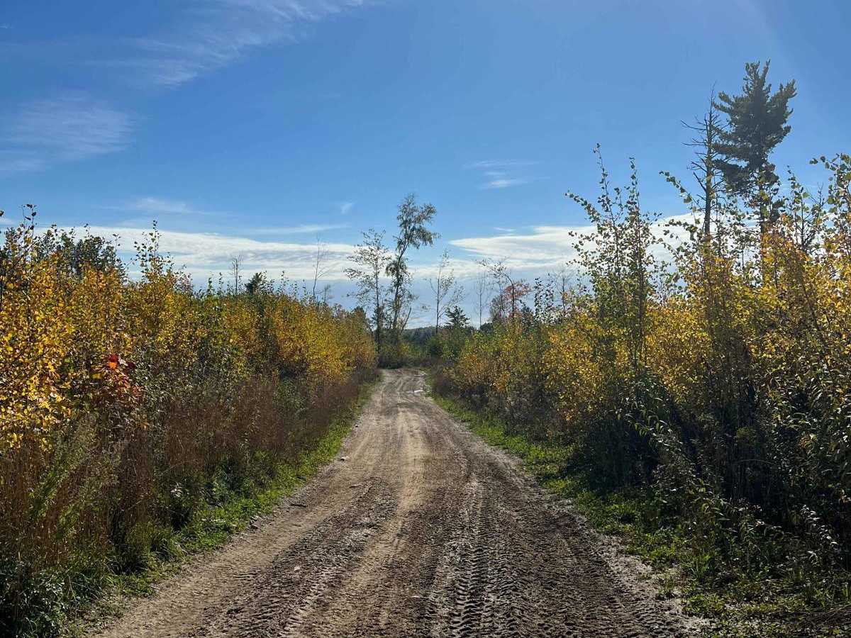
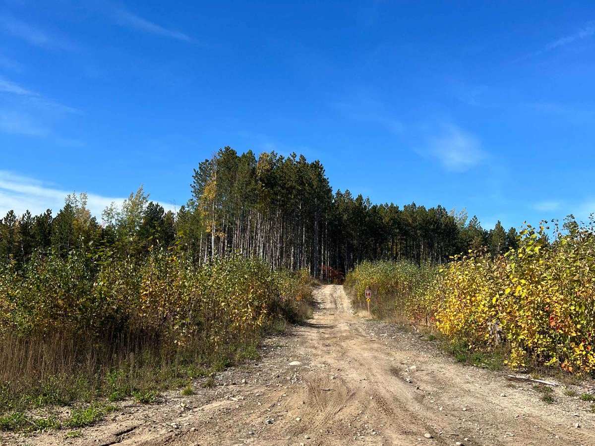
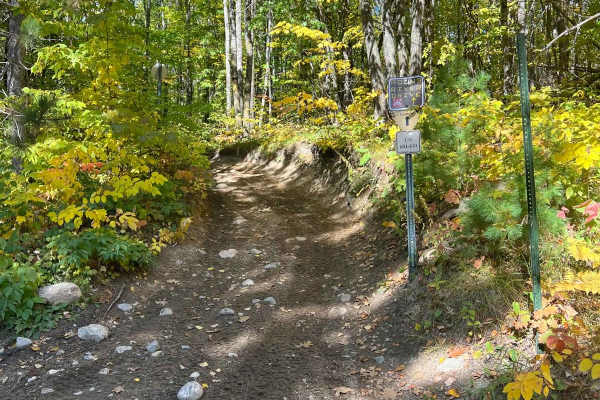
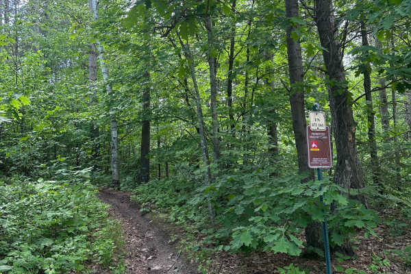
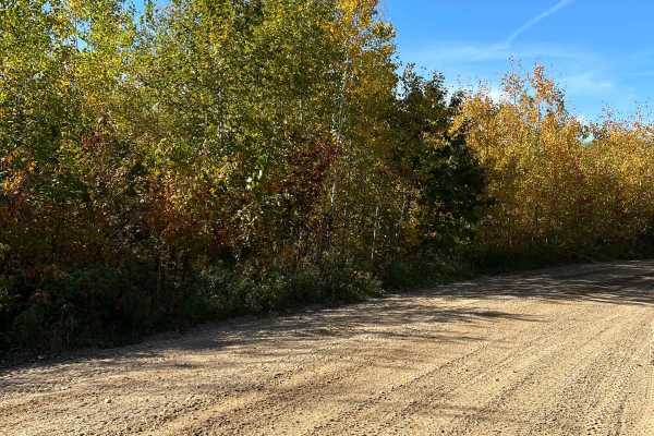
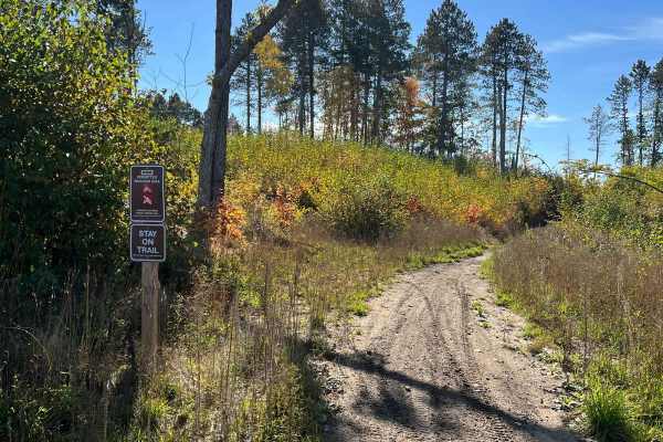
Trail Overview
This is a short, easy forest road with maintained gravel, pretty views, and nice fall colors. This road takes you back to some dispersed camping, other forest roads, and trails for ATVs and Dirt Bikes. Very manageable and appears to be kept up routinely. General Note on Trail Riding in MN: Many trails heavily change in difficulty depending on the time of the year, weather conditions, and proximity to the trailhead. These areas have lots of birch trees which will routinely drop over trails. Many local clubs tend to the trails but there may be obstacles that come up if there was a thunderstorm the week prior. Rain and snow can also heavily change the trails as often rutted trails get more washed out, puddles become deeper, mud is stickier, and rocks/roots become slippery. The time of year can also dramatically change the landscape. Some trails that seem wide open after fall can be very dense and narrow before leaves begin to fall. Once birch leaves have fallen, trails become unpredictable as everything is covered by the leaves except larger obstacles. I have also seen a black bear once so it may be advantageous to carry some bear spray as a precaution but for many years it only happened once and just by dumpsters.