
Dirt Bike Trails
Near Lake of the Woods, Arizona
Explore All Dirt Bike Trails Near Lake of the Woods, Arizona
Dirt Bike Trails Near Lake of the Woods, Arizona
Discover the best dirt bike trails near you. Browse trail maps, check difficulty ratings, and find your next adventure — whether you're looking for a quick ride or an all-day expedition.
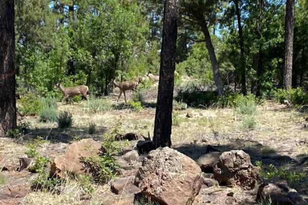
Springer Mountain
Springer Mountain is a scenic and easy 3.9-mile point-to-point trail near Pinetop-Lakeside, Arizona, that offers an accessible dirt and gravel route perfect for beginners, scenic cruisers, and those looking to connect to deeper forest service roads. Winding through the beautiful Apache-Sitgreaves Na...
Learn more about Springer Mountain
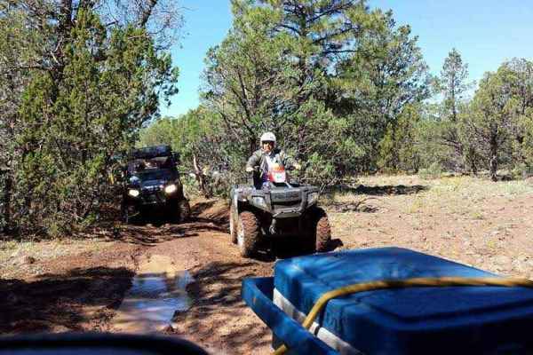
Porter Mountain Loop
The Porter Mountain Loop is a scenic 20.3-mile off-road route near Show Low, Arizona offering an accessible journey through the Apache-Sitgreaves National Forests. The trail circles Porter and Flume Mountains on a mix of maintained forest roads and dedicated OHV tracks. Elevation ranges from 6,445 t...
Learn more about Porter Mountain Loop
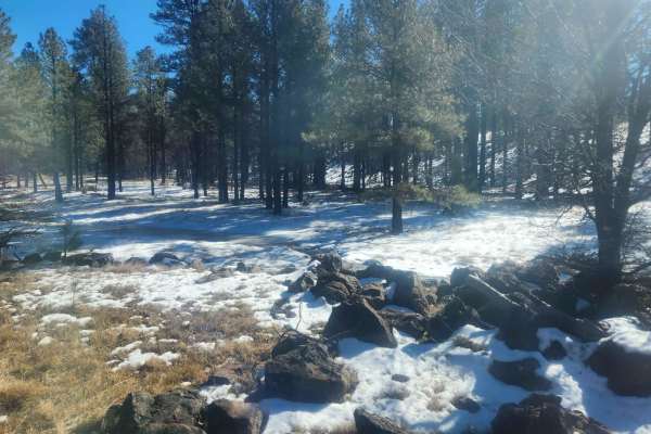
Ski Hi to Turkey Mountain
This is a nice little drive in the forest--nothing technical. Ski Hi is accessible by high-clearance cars. There are beautiful pines and awesome starry night skies in the late spring/summer! The roads are usually passable in the snow but not always. A few tanks along the way may bring some wildlife ...
Learn more about Ski Hi to Turkey Mountain
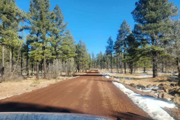
Turkey Mountain
This is a little jumper road between FR182 and FR283 with lots of side trails to explore. It is a really easy grade. It may become impassible in winter. Less than 1/2 hour - more like a 15-minute ride from one road to the next on a nice day. Winter may take a little longer depending on the snow.
Learn more about Turkey Mountain
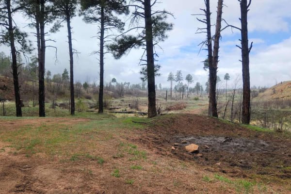
Morgan Tank
Morgan Tank is a fun side trip off of FR135--great for a slow ride through the forest. Keep your eyes open and you might see deer, elk, turkey, wild horses, squirrels, and birds of all kinds. Expect some awesome views of open prairie-type areas. It's great for mountain biking, wheeling, horseback ri...
Learn more about Morgan Tank
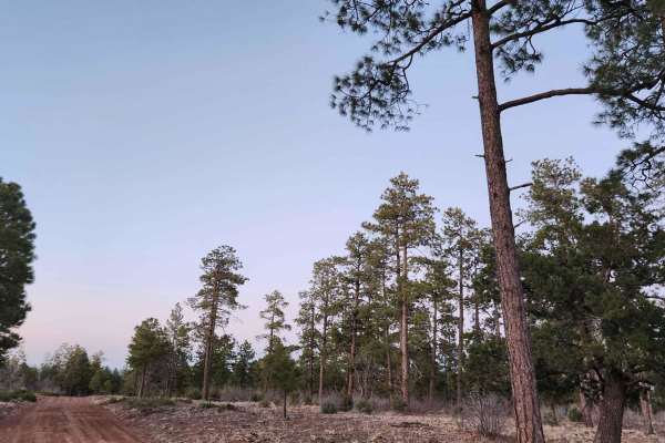
FR135
FR135 is another great connection between Rim Road (FR300) and Joe Tank Road (FR136). This has a greater change in elevation than FR140 and in the winter can become impassable due to snow and the grade combined. This trail has several really cool side trails and some spurs as well. It's great to exp...
Learn more about FR135
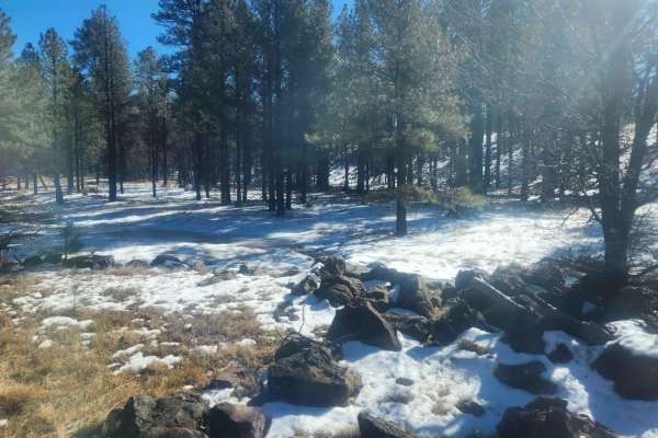
FR283 - Marshall Mountain
Winding through the dense ponderosa pines, oak, and juniper of the Apache-Sitgreaves National Forest, Marshall Mountain (Forest Road 283) offers a scenic 7.2-mile point-to-point journey perfect for stock vehicles and beginners seeking a relaxed mountain drive. Starting from Porter Mountain Road, thi...
Learn more about FR283 - Marshall Mountain
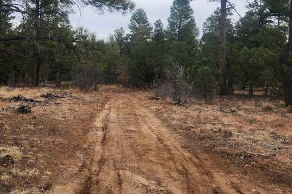
Joe Tank Road (FR136)
Joe Tank is a good access road to places to hike, bike, horseback ride, 4-wheel, and camp, and includes many side trails. Many of them are spur trails created for hiking and biking. Some of the hiking, biking, and horseback trails share 2-track roads, so be cautious of hikers, bikers, and horseback ...
Learn more about Joe Tank Road (FR136)
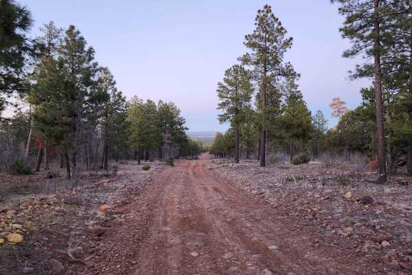
FR140
Use FR140 to cross between Joe Tank Road (FR136) and Rim Road (FR300)--it is a good access road to some great side trips for a day of exploring. Wild horses and bald eagles are present in the area. Bringing a motorhome or car back here for camping is not recommended, but it is a good area for overla...
Learn more about FR140
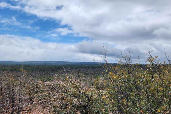
Joe Tank Ridge
Joe Tank Ridge is an out-and-back spur trail. A fun ride with some minor challenges and only accessible from Joe Tank Road, this road does not travel through into the community. It is blocked off. It would be great for hiking, mountain biking, or horseback riding. It is okay for a short wheeling tri...
Learn more about Joe Tank Ridge
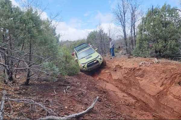
North Hog Wash 9600o
North Hog Wash is just over 3 miles long. It starts on 9600o and finishes on 9802a. This trail is 2-track all the way but has some seriously washed-out sections that make for some great off-camber, suspension-flexing fun. There are bypasses for these sections. During dry weather conditions, it is fu...
Learn more about North Hog Wash 9600o
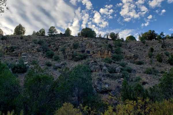
Cactus Flats
This ride will take you on a trip around the White Mountains of Arizona. There are a few places you can start. You can start at one of the trailheads on the Maverick trail, at the Black Horse Brewery or The Ghost of the Coyote trailhead. This is about a 50-mile loop. You can run the loop either way....
Learn more about Cactus Flats
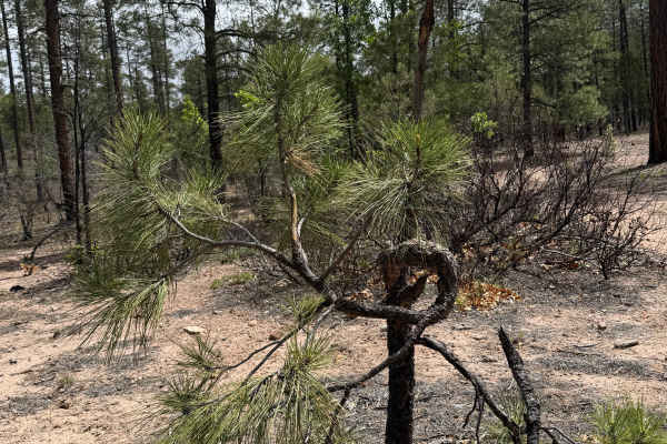
Bear Canyon - FS 131
Forest Road 131 (Bear Canyon) is a scenic, shortcut route connecting FS 300 Rim Road East and FS 130 Pinedale Rim. The trail meanders through towering ponderosa pines, mixed conifer forest, and quiet mountain meadows before descending into the peaceful Bear Canyon drainage. With its combination of b...
Learn more about Bear Canyon - FS 131
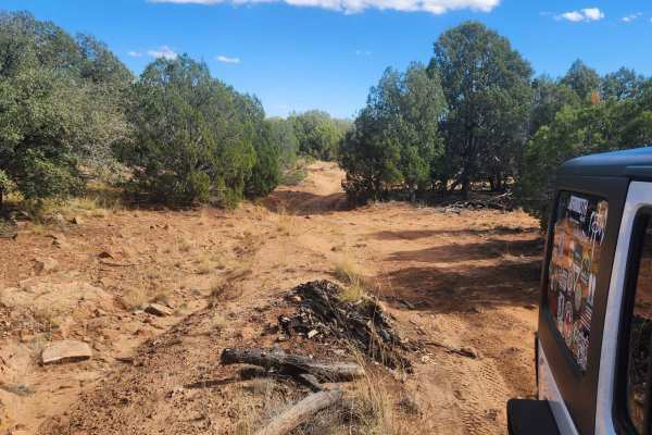
Thistle Hollow
Most of this trail is an easy-going forest road until it heads west, when it becomes a bit of rocky terrain --nothing extreme, just a small rock. The trail is mainly in Juniper/Pinion pines and has some good views of the North, looking towards Snowflake-T lor. It's a nice afternoon drive--be prepare...
Learn more about Thistle Hollow
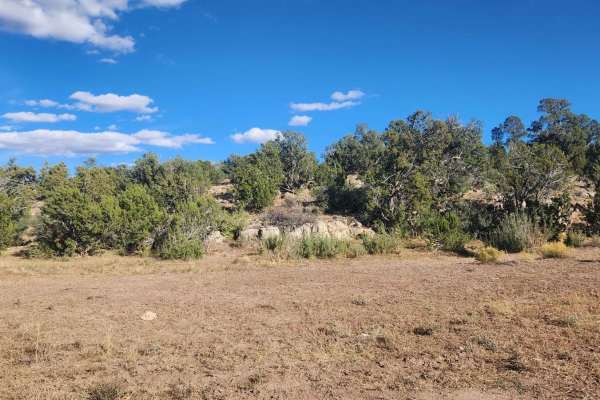
Thistle Camp
This is a shortcut across from Cactus Flats to FS655 - also known as the Maverick Trail. This is a great side trip to explore while making a day out of all the trails in the area. This trail is recommended for UTV, ATV, and dirt bikes since once you leave the Cactus Flats trail you will run into the...
Learn more about Thistle Camp
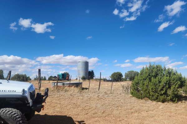
Thistle Well Tank
This is another great out-and-back trail from the Thistle Hollow Road to Thistle Well Tank. It meets up with a closed road on the west side by Thistle Well Tank. The drive back heading East is well worth the trip out and back with spectacular views to the North overlooking the Snowflake-Taylor area....
Learn more about Thistle Well Tank
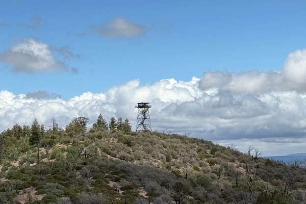
Juniper Ridge - FS 130
Forest Service Road 130 is an enjoyable, easy-to-moderate drive through the Apache-Sitgreaves National Forest that leads to the historic Juniper Ridge Fire Lookout. The route begins as FS 143 near Pinedale and winds through beautiful stands of ponderosa pine, mixed conifer forest, and open meadows b...
Learn more about Juniper Ridge - FS 130
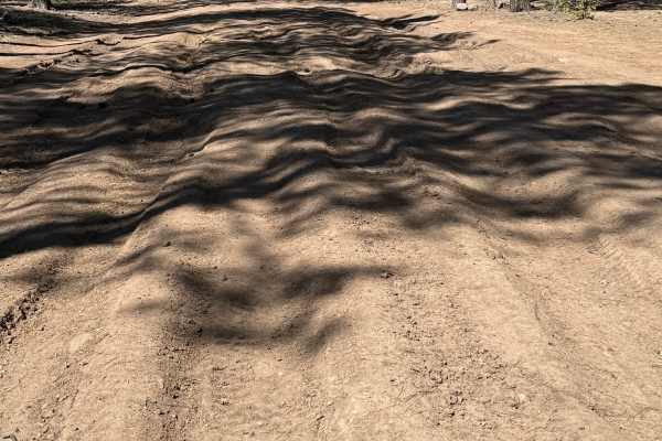
Pinedale Rim - FS 130
Connecting the historic mountain community of Pinedale with the Mogollon Rim, FS 130 climbs steadily through one of Arizona’s largest ponderosa pine forests. The route transitions from quiet forest roads to dramatic overlooks where the land drops thousands of feet into Arizona’s rugged Rim Country. ...
Learn more about Pinedale Rim - FS 130
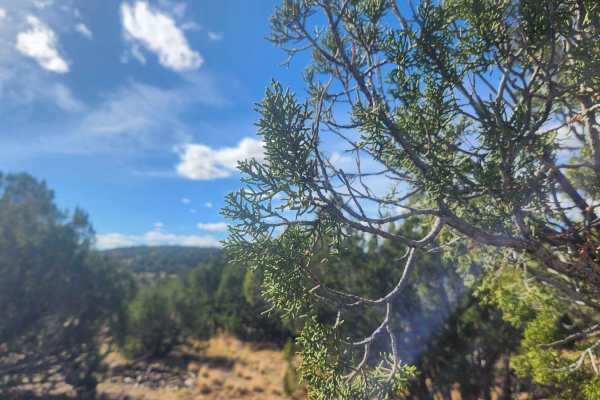
Bull Ranch Draw
This is an awesome trail for views. Almost every part of this trail has views one way or another. This trail offers views of canyons, mountains, rock out cropping's, and Trees. Unfortunately, this trail ends up on a closed road so it is an out-and-back trip. There are some hills to climb and descen...
Learn more about Bull Ranch Draw
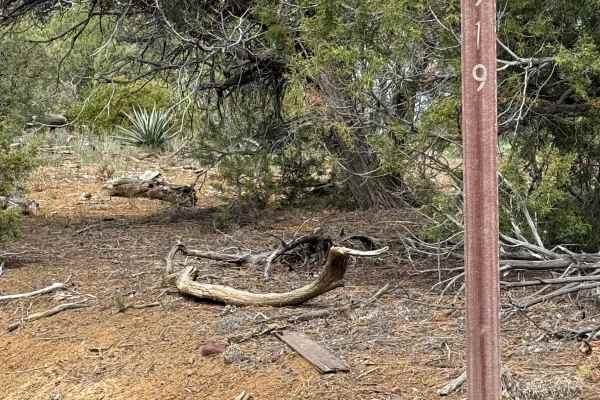
Hub Point - FS 919
This peaceful route is from the south end of Turkey Hill Road in Pinedale to Pinedale Ridge (FS 132). It travels through the pine forest and a few open areas where wild horses can be seen. With moisture, the trail becomes slick and can add some mud holes and ruts to navigate. It is a short but rewar...
Learn more about Hub Point - FS 919
ATV trails near Lake of the Woods, Arizona
Explore ATV-friendly trails near you. These trails are accessible for vehicles up to 50 inches wide, perfect for ATVs and smaller off-road machines.
Springer Mountain
Springer Mountain is a scenic and easy 3.9-mile point-to-point trail near Pinetop-Lakeside, Arizona, that offers an accessible dirt and gravel route perfect for beginners, scenic cruisers, and those looking to connect to deeper forest service roads. Winding through the beautiful Apache-Sitgreaves Na...
Learn more about Springer Mountain
Porter Mountain Loop
The Porter Mountain Loop is a scenic 20.3-mile off-road route near Show Low, Arizona offering an accessible journey through the Apache-Sitgreaves National Forests. The trail circles Porter and Flume Mountains on a mix of maintained forest roads and dedicated OHV tracks. Elevation ranges from 6,445 t...
Learn more about Porter Mountain Loop
Ski Hi to Turkey Mountain
This is a nice little drive in the forest--nothing technical. Ski Hi is accessible by high-clearance cars. There are beautiful pines and awesome starry night skies in the late spring/summer! The roads are usually passable in the snow but not always. A few tanks along the way may bring some wildlife ...
Learn more about Ski Hi to Turkey Mountain
Turkey Mountain
This is a little jumper road between FR182 and FR283 with lots of side trails to explore. It is a really easy grade. It may become impassible in winter. Less than 1/2 hour - more like a 15-minute ride from one road to the next on a nice day. Winter may take a little longer depending on the snow.
Learn more about Turkey Mountain
UTV/side-by-side trails near Lake of the Woods, Arizona
Find UTV and side-by-side trails near you. These trails accommodate vehicles up to 60 inches wide, ideal for UTVs, side-by-sides, and wider off-road rigs.
Springer Mountain
Springer Mountain is a scenic and easy 3.9-mile point-to-point trail near Pinetop-Lakeside, Arizona, that offers an accessible dirt and gravel route perfect for beginners, scenic cruisers, and those looking to connect to deeper forest service roads. Winding through the beautiful Apache-Sitgreaves Na...
Learn more about Springer Mountain
Porter Mountain Loop
The Porter Mountain Loop is a scenic 20.3-mile off-road route near Show Low, Arizona offering an accessible journey through the Apache-Sitgreaves National Forests. The trail circles Porter and Flume Mountains on a mix of maintained forest roads and dedicated OHV tracks. Elevation ranges from 6,445 t...
Learn more about Porter Mountain Loop
Ski Hi to Turkey Mountain
This is a nice little drive in the forest--nothing technical. Ski Hi is accessible by high-clearance cars. There are beautiful pines and awesome starry night skies in the late spring/summer! The roads are usually passable in the snow but not always. A few tanks along the way may bring some wildlife ...
Learn more about Ski Hi to Turkey Mountain
Turkey Mountain
This is a little jumper road between FR182 and FR283 with lots of side trails to explore. It is a really easy grade. It may become impassible in winter. Less than 1/2 hour - more like a 15-minute ride from one road to the next on a nice day. Winter may take a little longer depending on the snow.
Learn more about Turkey Mountain
The onX Offroad Difference
onX Offroad combines trail photos, descriptions, difficulty ratings, width restrictions, seasonality, and more in a user-friendly interface. Available on all devices, with offline access and full compatibility with CarPlay and Android Auto. Discover what you're missing today!
Open Trail Map