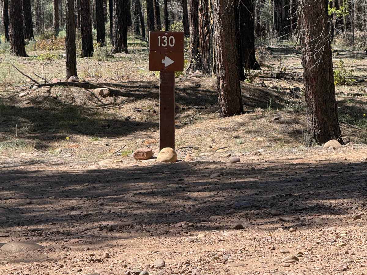
Pinedale Rim - FS 130

Total Miles8.1
Technical Rating
3Easy
Best TimeSummer, Spring, Fall
Trail TypeFull-Width Road
Accessible By
Open Trail Map

Trail Overview

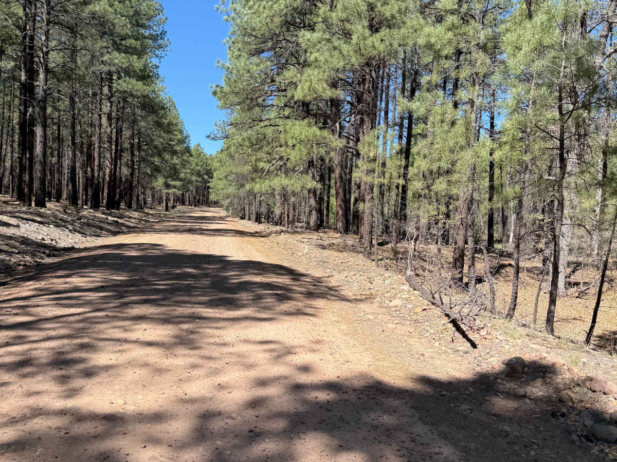
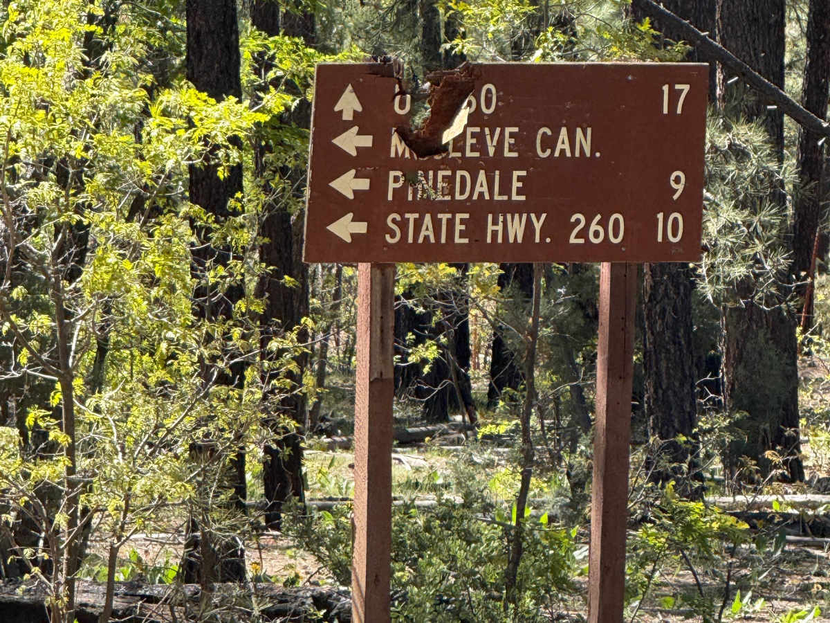
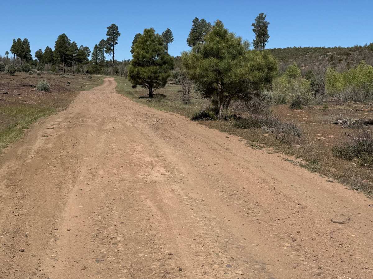
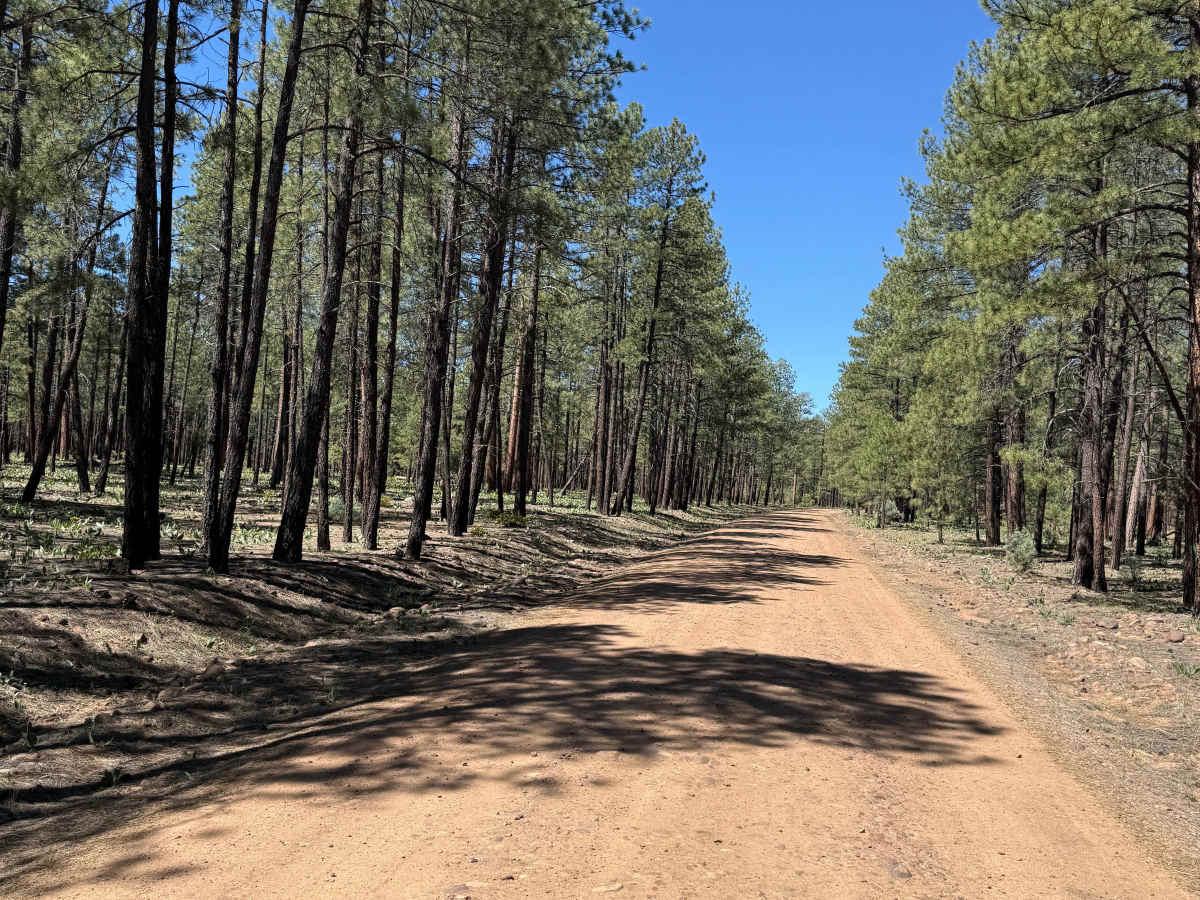
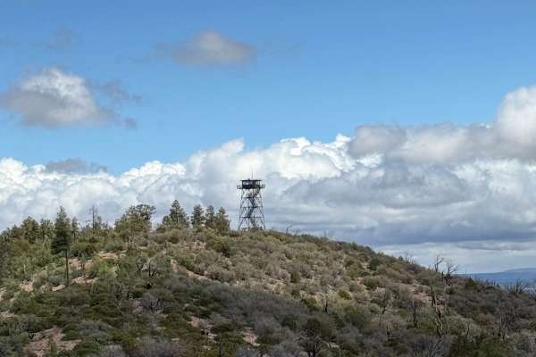
Connecting the historic mountain community of Pinedale with the Mogollon Rim, FS 130 climbs steadily through one of Arizona’s largest ponderosa pine forests. The route transitions from quiet forest roads to dramatic overlooks where the land drops thousands of feet into Arizona’s rugged Rim Country. Along the way, you’ll pass meadows, dense pine stands, and areas recovering from the Rodeo-Chediski Fire.

Photos of Pinedale Rim - FS 130

Difficulty

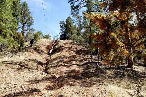
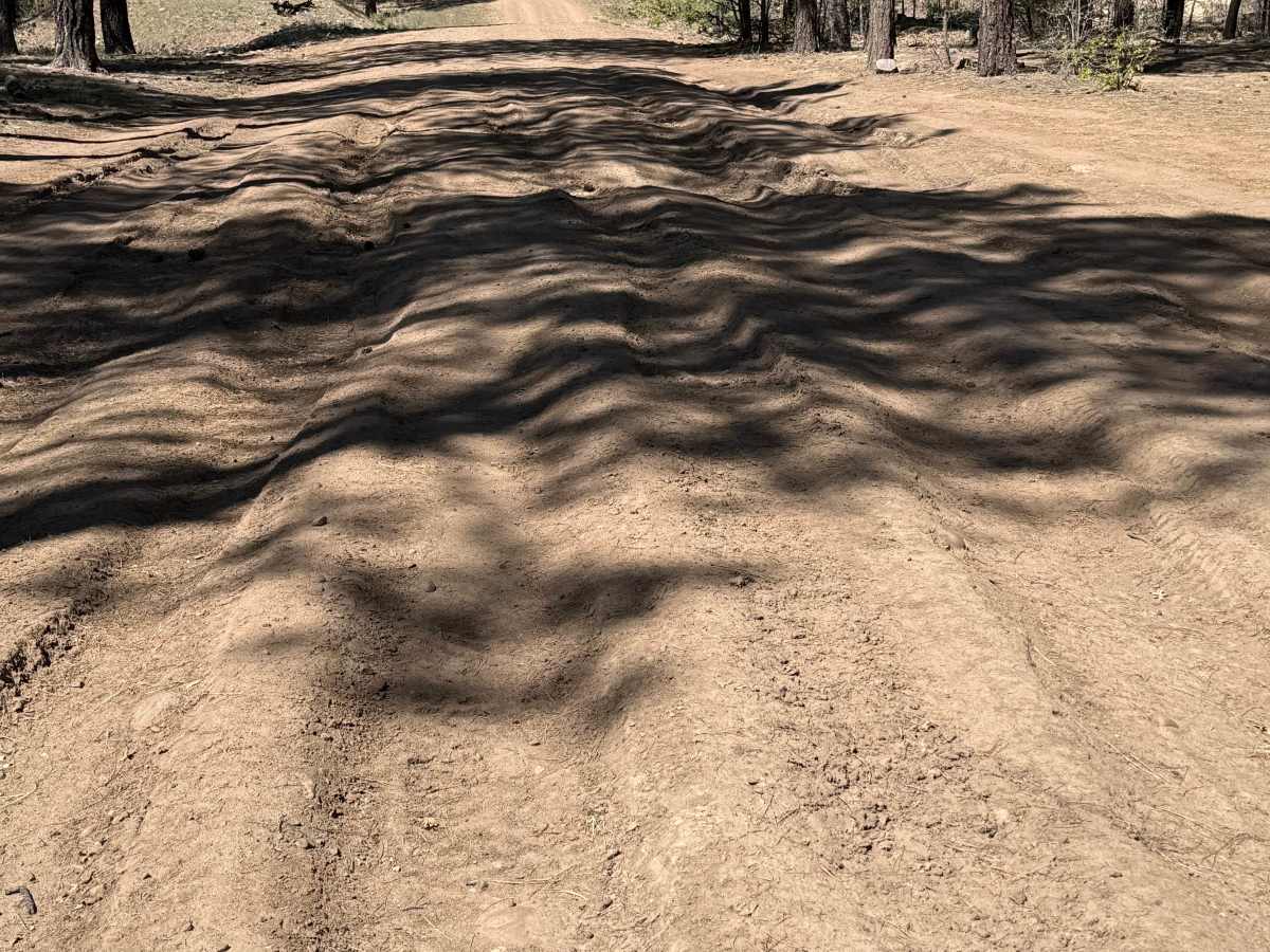
A portion of the route is rocky and rutted, with holes that can become muddy after rain.

Technical Rating

3

Pinedale Rim - FS 130 Trail can be accessed by the following ride types:

  • Single Track
  • 50 Inch
  • 60 Inch
  • High Clearance
  • Full Width

Pinedale Rim - FS 130 Map

The onX Offroad Difference

onX Offroad combines trail photos, descriptions, difficulty ratings, width restrictions, seasonality, and more in a user-friendly interface. Available on all devices, with offline access and full compatibility with CarPlay and Android Auto. Discover what you're missing today!

Open Trail Map