Trail Overview
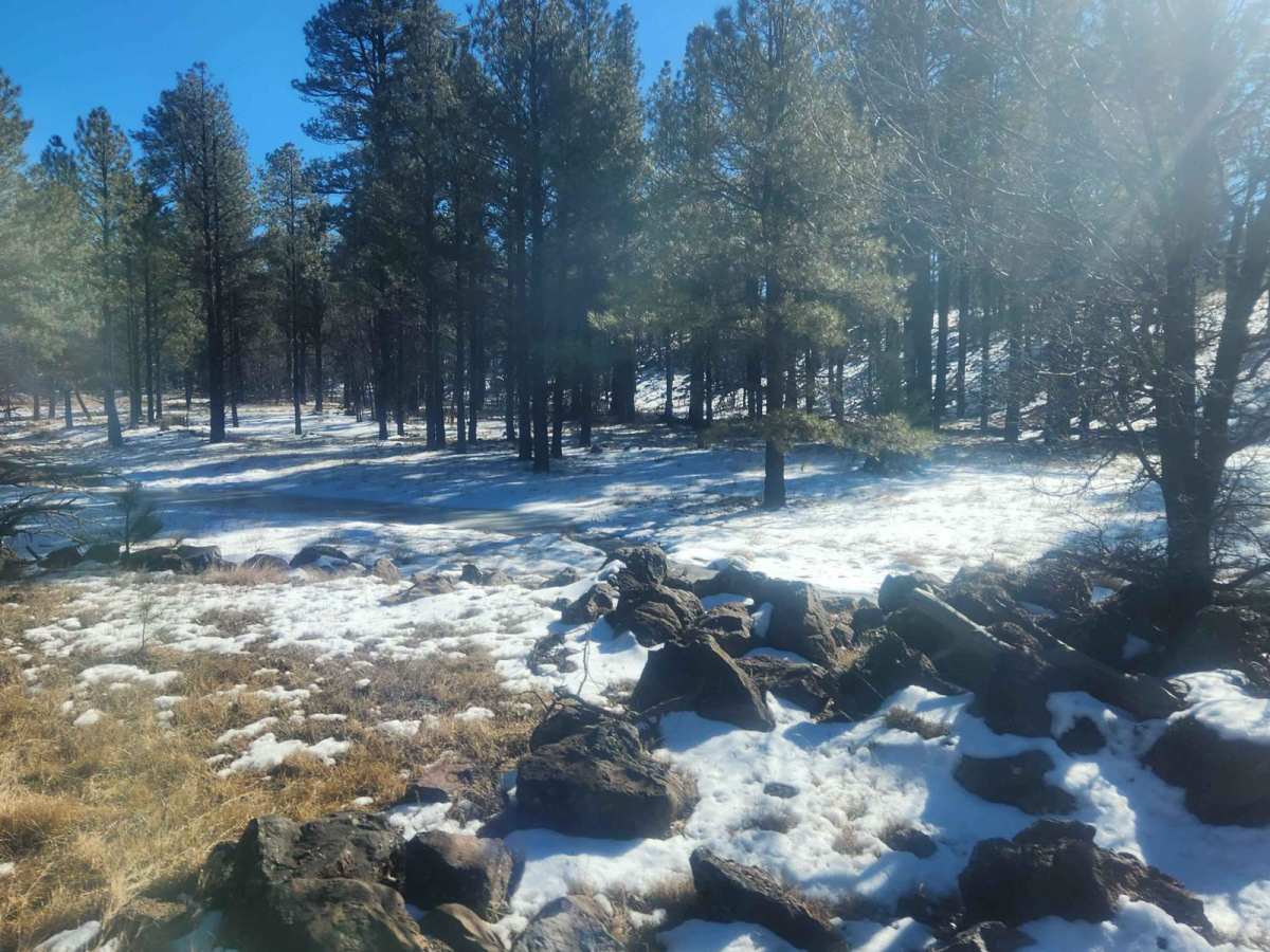
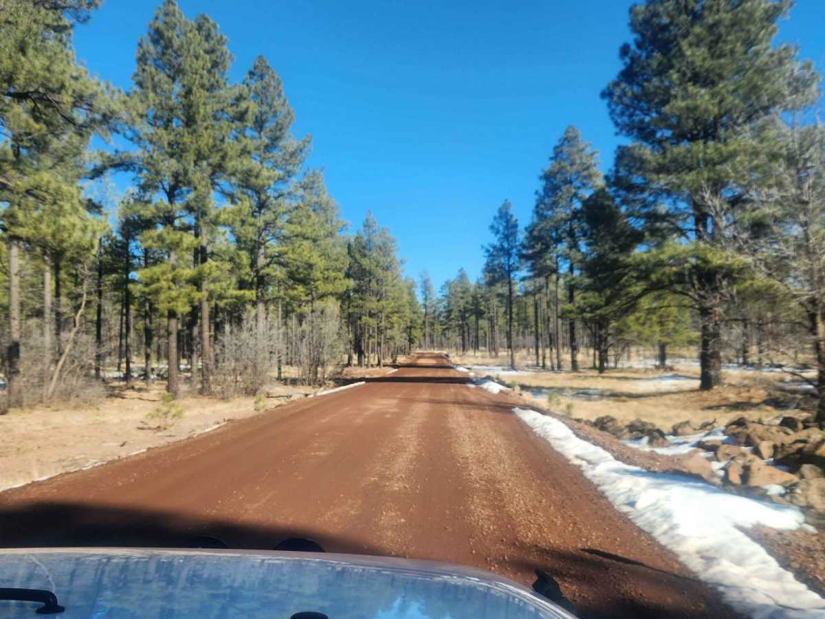
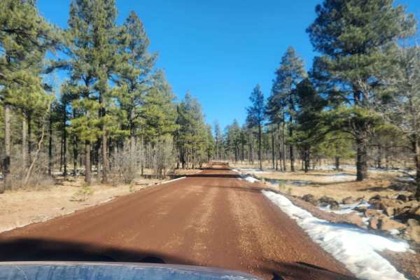
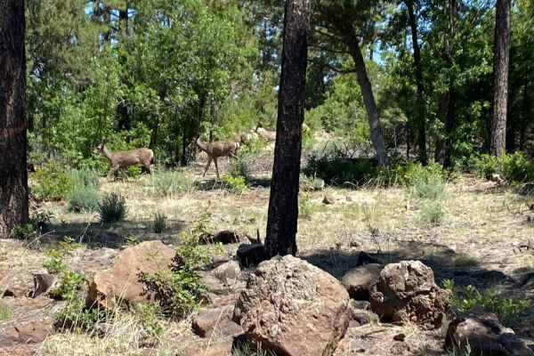
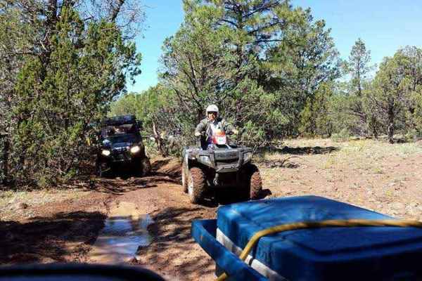
Winding through the dense ponderosa pines, oak, and juniper of the Apache-Sitgreaves National Forest, Marshall Mountain (Forest Road 283) offers a scenic 7.2-mile point-to-point journey perfect for stock vehicles and beginners seeking a relaxed mountain drive. Starting from Porter Mountain Road, this easy-graded dirt route descends approximately 415 feet as it heads south to Forest Road 271, maintaining an elevation between 7,070 and 7,543 feet. Drivers can expect a peaceful cruise through prime wildlife habitat with frequent sightings of elk, mule deer, wild turkeys, and squirrels.
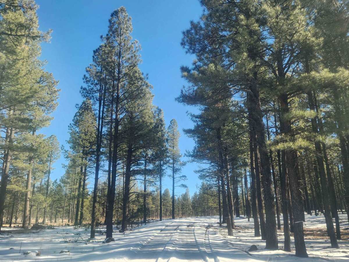
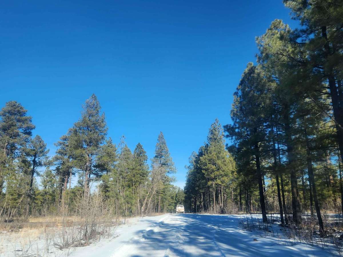
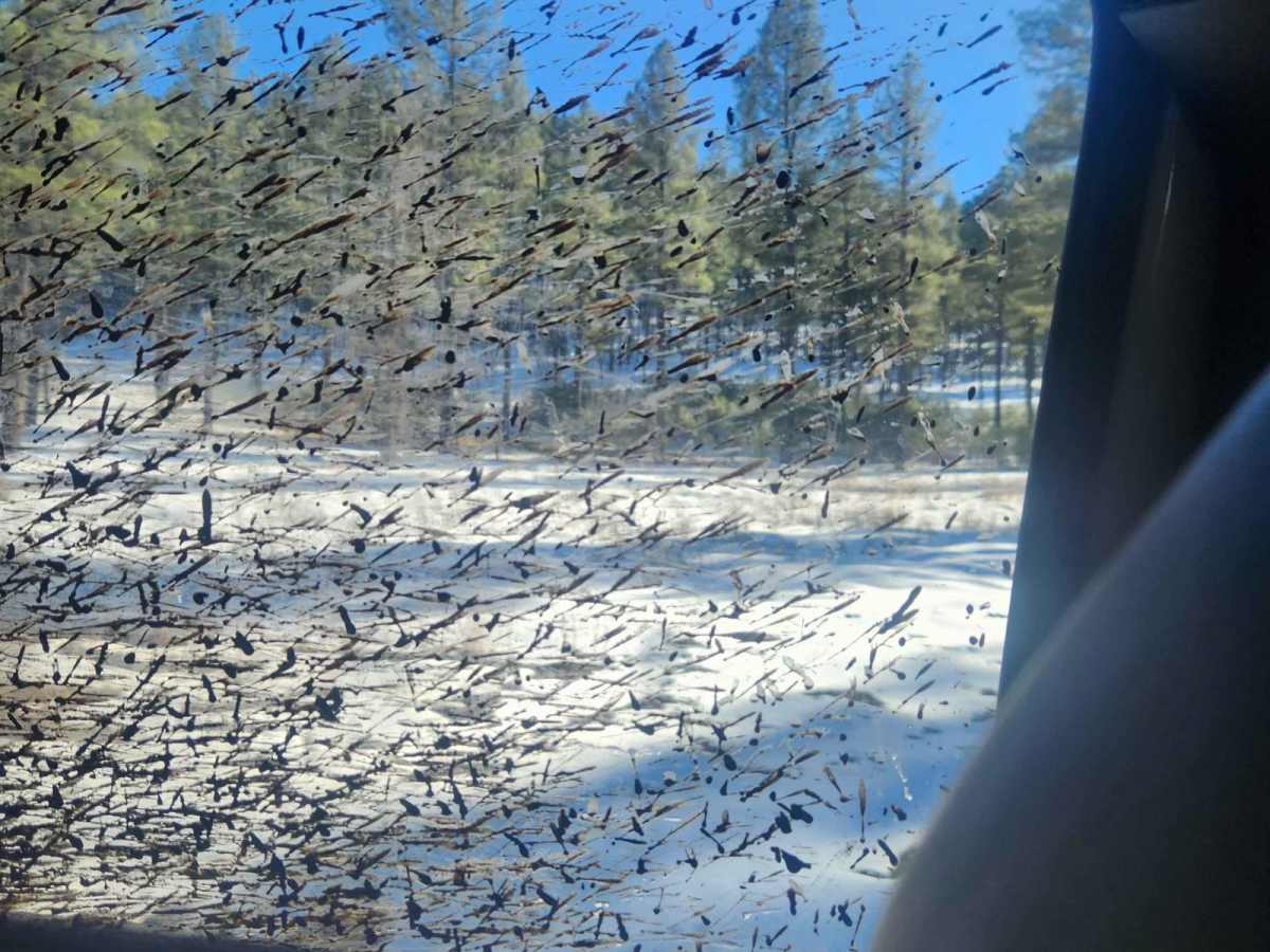
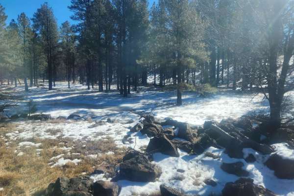
The primary trail features a technical rating of 1, meaning it is smooth and highly accessible, though the surrounding area contains numerous unmaintained spur loops that present greater challenges. During the winter, the main road is only partially plowed, and adjacent side roads quickly turn into impassable, muddy traps that should be avoided to prevent trail damage. Late spring after the seasonal snowmelt and autumn are the optimal times to visit, as the summer months bring heavier tourist traffic and occasional forest closures due to wildfire risk.
Access Description
Access to the route is free and does not require permits under normal conditions. However, the route is subject to seasonal winter closures due to snow or summer closures during periods of high wildfire danger in the Apache-Sitgreaves National Forest.