
Dirt Bike Trails
Near Ishpeming, Michigan
Explore All Dirt Bike Trails Near Ishpeming, Michigan
Dirt Bike Trails Near Ishpeming, Michigan
Discover the best dirt bike trails near you. Browse trail maps, check difficulty ratings, and find your next adventure — whether you're looking for a quick ride or an all-day expedition.
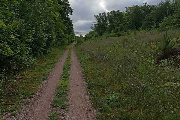
Cleveland Cliff- Empire Mines Trackway
The route begins at Mathews Road and County Road (M-28 Business) as the Nagaunee Substation route. It continues briefly along Old M-35, Rolling Mill, Miller Road, and Makinens Road. Old M-35 is a non-DNR road with an unspecified owner. The surface is composed of dirt, gravel, and native material, an...
Learn more about Cleveland Cliff- Empire Mines Trackway
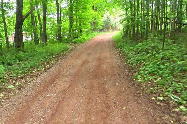
ORV Route C - Ishpeming
The Ishpeming portion of the Upper Peninsula's multi-segmented ORV C Route is a designated ATV/ off-road Motorcycle trail offering a mixture of sandy soil, rocks, and hard-packed dirt through heavily wooded terrain. The trail is known to be sandy as well as rocky in several portions, as it offers co...
Learn more about ORV Route C - Ishpeming
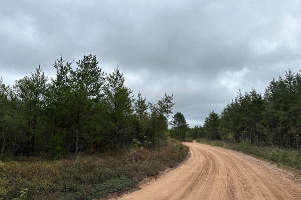
Hemmings Lake Road
Hemmings Lake Road is a nice easy drive through Gwinn Forest Management Unit. The road mostly travels east and west. On the west end of the trail, it is two vehicles wide on the straight sections with the corners shrinking down a bit. This side is also very well graded and very fast with big expansi...
Learn more about Hemmings Lake Road
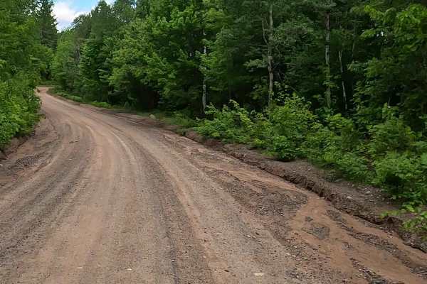
Silver Lake Road
Silver Lake Road, also known as County Road CCO, is a state owned/ locally maintained, Level-2 forest access route with a surface composition of sand, dirt, and native material (ex: leaves, pine needles, pine cones, sticks, branches). This route offers access to forested "Two-Tracks" and hiking path...
Learn more about Silver Lake Road
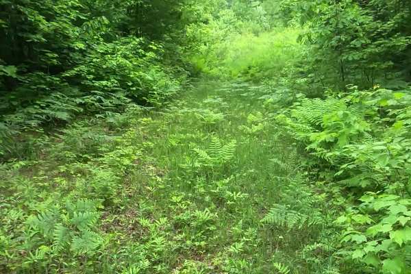
Barnhardt Creek Road
Barnhardt Creek Road is a state-owned and locally maintained, Level-2/ Level-3, forest access route with a surface composition of grass, dirt, sand and native material (ex: leaves, pine needles, pine cones, sticks, branches). This is a spur off of County Road FX, also known as Wolf Lake Road. This r...
Learn more about Barnhardt Creek Road
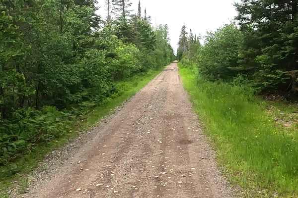
Off-Road Vehicle Route CL - Clowry Grade
Off-Road Vehicle Route CL, also known as Clowry Grade, portion of the Upper Peninsula's multi-segmented Off-Road Vehicle Route C and is a designated ATV/ off-road Motorcycle trail offering a mixture of sandy soil, rocks, and hard-packed dirt through heavily wooded forests. The trail is known to be s...
Learn more about Off-Road Vehicle Route CL - Clowry Grade
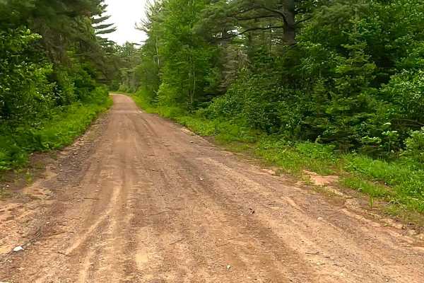
County Road CVV
County Road CVV, is a state-owned and locally maintained, Level-2/ Level-3 forest access route with a surface composition of sand, dirt, gravel, and native material (ex: leaves, pine needles, pine cones, sticks, branches). This route traverses along the north bank of the Second River and dead-ends a...
Learn more about County Road CVV
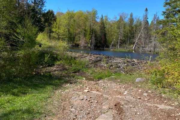
Beaver Dam Run
This trail is accessed by County Road NC off of 480. This trail has a bypass on your left before you come to the gatekeeper at the snowmobile crossing. The bypass can be run by most 4WD vehicles without a lift if careful lines are chosen. The marked route is advisable for only lifted vehicles with a...
Learn more about Beaver Dam Run
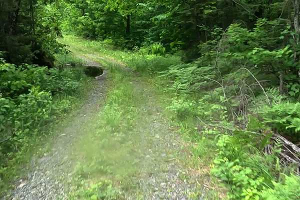
Wolf Lake Road Spur
Wolf Lake Road Spur is a state owned/ locally maintained, Level-2/ Level-3, forest access route with a surface composition of grass, dirt, sand, and native material (ex: leaves, pine needles, pine cones, sticks, branches). As a spur off of County Road FX, also known as Wolf Lake Road, this route tr...
Learn more about Wolf Lake Road Spur
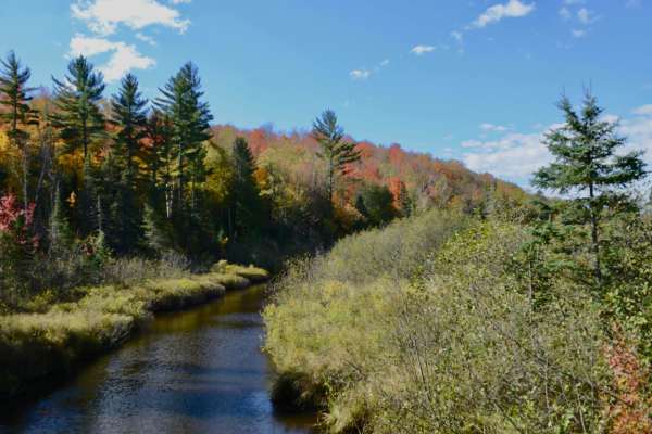
Dishno Road
Dishno Road is accessed off of County Road FX on the east and Huron Mountain Drive Big Erics to Van Riper on the west side. This trail is mostly rocky and dirt base. No notable washouts or water holes. There are a few spots with loose rocky hills but nothing a stock 4x4 couldn't tackle. This trail p...
Learn more about Dishno Road
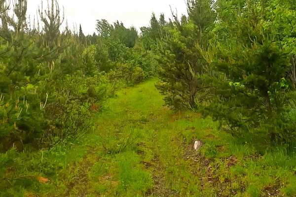
County Road LYU
County Road LYU is a state-owned, locally maintained forest access route with a surface composition of grass, sand, dirt, and native material. This route traverses along the northwest bank of the Second River and offers access to forested tracks and footpaths within the deep wilderness of the Humbol...
Learn more about County Road LYU
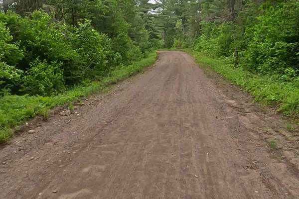
County Road AAD
County Road AAD, also known as County Highway AAD, is a state-owned, locally maintained forest access route with a surface composition of sand, dirt, and native material. This route traverses along the west bank of the Middle Branch Escanaba River and the northwest bank of the Second River within th...
Learn more about County Road AAD
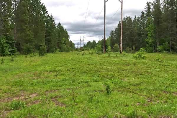
Peshekee to Clowry Trail
The Peshekee to Clowry Trail runs parallel to and interchanges with the Off-Road Vehicle Route CL- Clowry Grade portion of the Upper Peninsula's multi-segmented Off-Road Vehicle Route C. A designated ATV/ off-road Motorcycle trail offering a mixture of sandy soil, rocks, and hard-packed dirt through...
Learn more about Peshekee to Clowry Trail
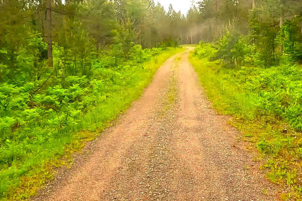
County Road AAD Spur
County Road AAD Spur, also known as County Highway AAD Spur, is a state owned/ locally maintained, Level-2/ Level-3 forest access route with a surface composition of sand, dirt, and native material (ex: leaves, pine needles, pine cones, sticks, branches). This route traverses along the west bank of ...
Learn more about County Road AAD Spur
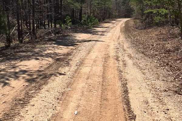
County Road CCZ
County Road CCZ, also known as County Highway Ccz, is a locally owned/locally maintained, Level-2/Level-3 forest road with a surface composed of dirt, sand, gravel, and native material. This route is currently open and in fair condition; it is not a DNR road (ORV use is subject to local government r...
Learn more about County Road CCZ
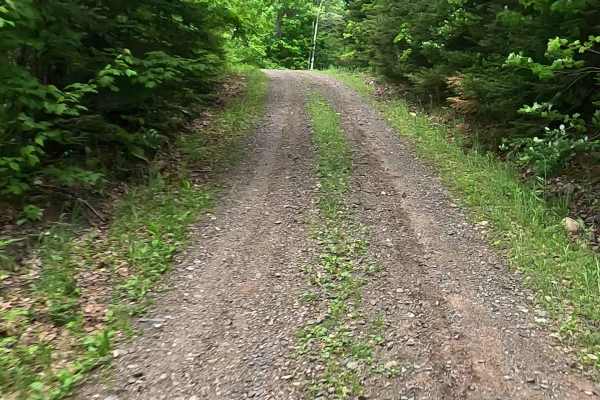
Red Road
Red Road, also known as County Road AAT, is a state owned/ locally maintained, Level-2, "There-and-back" forest access route with a surface composition of sand, dirt, and native material (ex: leaves, pine needles, pine cones, sticks, branches). This route offers access to forested "Two-Tracks" and h...
Learn more about Red Road
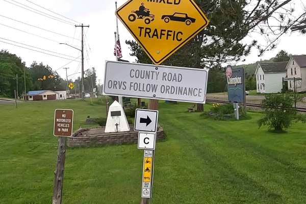
ORV Route C - Champion
The Champion portion of the Upper Peninsula's multi segmented ORV Route C is a designated ATV/ off-road Motorcycle trail offering a mixture of sandy soil, rocks and hard-packed dirt through heavily wooded forests. The trail is known to be sandy as well as rocky in several portions as It offers conne...
Learn more about ORV Route C - Champion
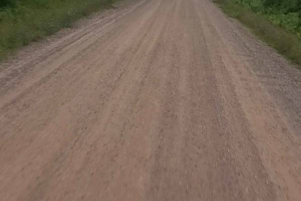
West Crooked Lake Lane
Crooked Lake Road is a non-DNR road owned by the county. The surface is composed of dirt and gravel, and the overall condition is considered fair. Since it is not a DNR road, ORV use is subject to local government laws. The road remains open under the current closure criteria. This idyllic, well-mai...
Learn more about West Crooked Lake Lane
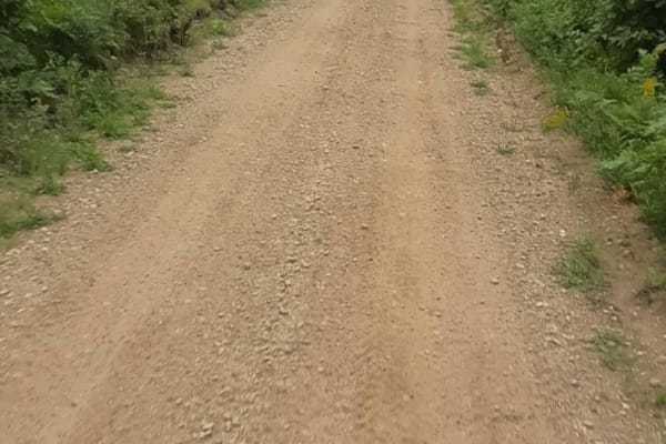
County Road NNB/NND
County Road NNB is a non-DNR road owned by the county. The surface consists of dirt and native material, and the overall condition is considered poor. Since it is not a DNR road, ORV use is subject to local government laws. The road remains open under the current closure criteria. County Road NND is...
Learn more about County Road NNB/NND
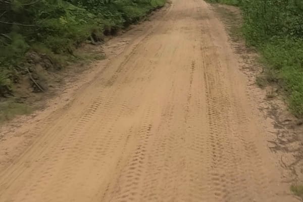
County Road NNA
County Road NNA is a non-DNR road with an unspecified owner. The surface is composed of dirt and native material, and the overall condition is considered fair. Since it is not a DNR road, ORV use is subject to local government laws. The road remains open under current closure criteria. This unmainta...
Learn more about County Road NNA
ATV trails near Ishpeming, Michigan
Explore ATV-friendly trails near you. These trails are accessible for vehicles up to 50 inches wide, perfect for ATVs and smaller off-road machines.
Cleveland Cliff- Empire Mines Trackway
The route begins at Mathews Road and County Road (M-28 Business) as the Nagaunee Substation route. It continues briefly along Old M-35, Rolling Mill, Miller Road, and Makinens Road. Old M-35 is a non-DNR road with an unspecified owner. The surface is composed of dirt, gravel, and native material, an...
Learn more about Cleveland Cliff- Empire Mines Trackway
ORV Route C - Ishpeming
The Ishpeming portion of the Upper Peninsula's multi-segmented ORV C Route is a designated ATV/ off-road Motorcycle trail offering a mixture of sandy soil, rocks, and hard-packed dirt through heavily wooded terrain. The trail is known to be sandy as well as rocky in several portions, as it offers co...
Learn more about ORV Route C - Ishpeming
Hemmings Lake Road
Hemmings Lake Road is a nice easy drive through Gwinn Forest Management Unit. The road mostly travels east and west. On the west end of the trail, it is two vehicles wide on the straight sections with the corners shrinking down a bit. This side is also very well graded and very fast with big expansi...
Learn more about Hemmings Lake Road
Silver Lake Road
Silver Lake Road, also known as County Road CCO, is a state owned/ locally maintained, Level-2 forest access route with a surface composition of sand, dirt, and native material (ex: leaves, pine needles, pine cones, sticks, branches). This route offers access to forested "Two-Tracks" and hiking path...
Learn more about Silver Lake Road
UTV/side-by-side trails near Ishpeming, Michigan
Find UTV and side-by-side trails near you. These trails accommodate vehicles up to 60 inches wide, ideal for UTVs, side-by-sides, and wider off-road rigs.
Cleveland Cliff- Empire Mines Trackway
The route begins at Mathews Road and County Road (M-28 Business) as the Nagaunee Substation route. It continues briefly along Old M-35, Rolling Mill, Miller Road, and Makinens Road. Old M-35 is a non-DNR road with an unspecified owner. The surface is composed of dirt, gravel, and native material, an...
Learn more about Cleveland Cliff- Empire Mines Trackway
ORV Route C - Ishpeming
The Ishpeming portion of the Upper Peninsula's multi-segmented ORV C Route is a designated ATV/ off-road Motorcycle trail offering a mixture of sandy soil, rocks, and hard-packed dirt through heavily wooded terrain. The trail is known to be sandy as well as rocky in several portions, as it offers co...
Learn more about ORV Route C - Ishpeming
Hemmings Lake Road
Hemmings Lake Road is a nice easy drive through Gwinn Forest Management Unit. The road mostly travels east and west. On the west end of the trail, it is two vehicles wide on the straight sections with the corners shrinking down a bit. This side is also very well graded and very fast with big expansi...
Learn more about Hemmings Lake Road
Silver Lake Road
Silver Lake Road, also known as County Road CCO, is a state owned/ locally maintained, Level-2 forest access route with a surface composition of sand, dirt, and native material (ex: leaves, pine needles, pine cones, sticks, branches). This route offers access to forested "Two-Tracks" and hiking path...
Learn more about Silver Lake Road
The onX Offroad Difference
onX Offroad combines trail photos, descriptions, difficulty ratings, width restrictions, seasonality, and more in a user-friendly interface. Available on all devices, with offline access and full compatibility with CarPlay and Android Auto. Discover what you're missing today!
Open Trail Map