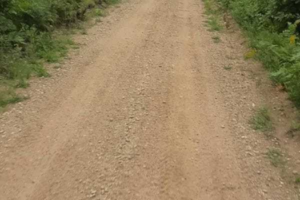
Beaver Dam Run

Total Miles 5.5
Technical Rating
5 Moderate
Best Time Summer
Trail Type Full-Width Road
Accessible By
Open Trail Map

Trail Overview

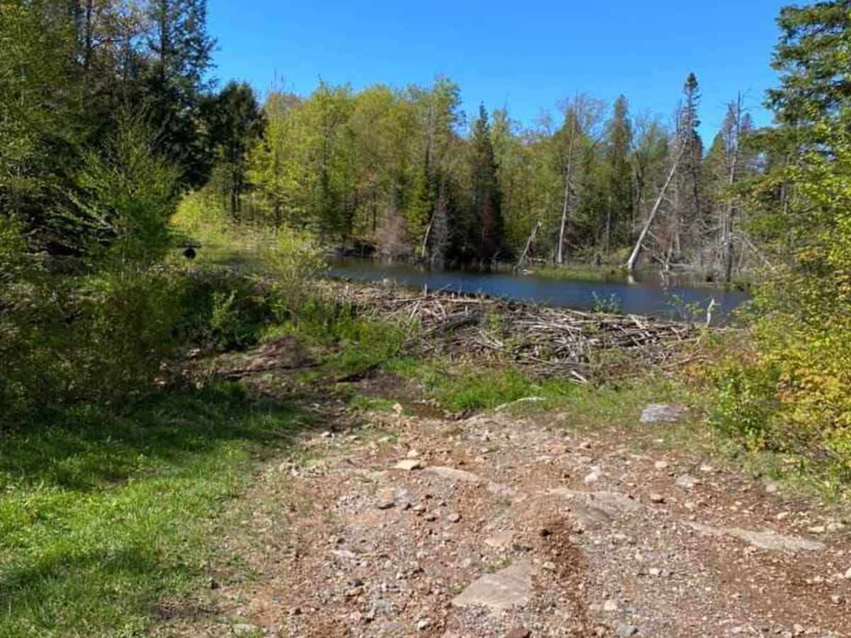
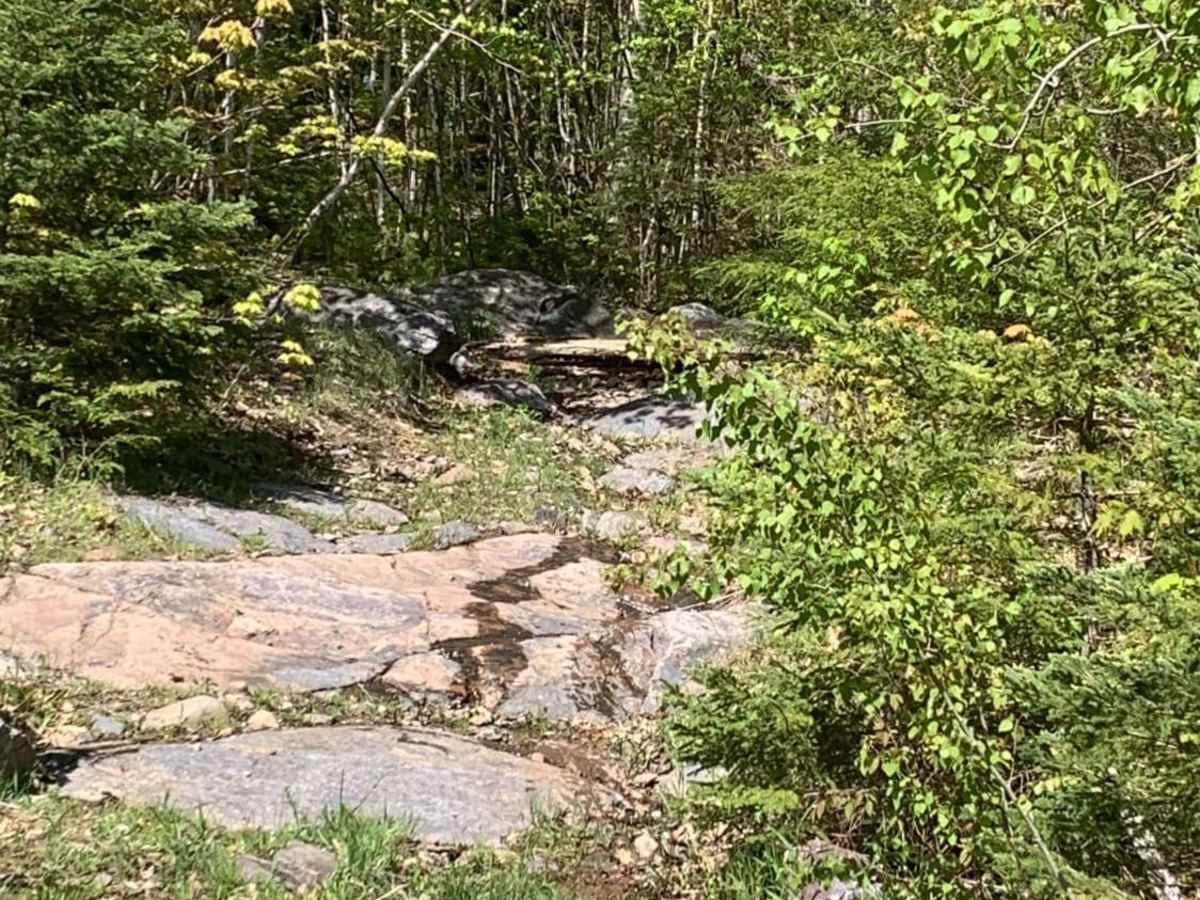
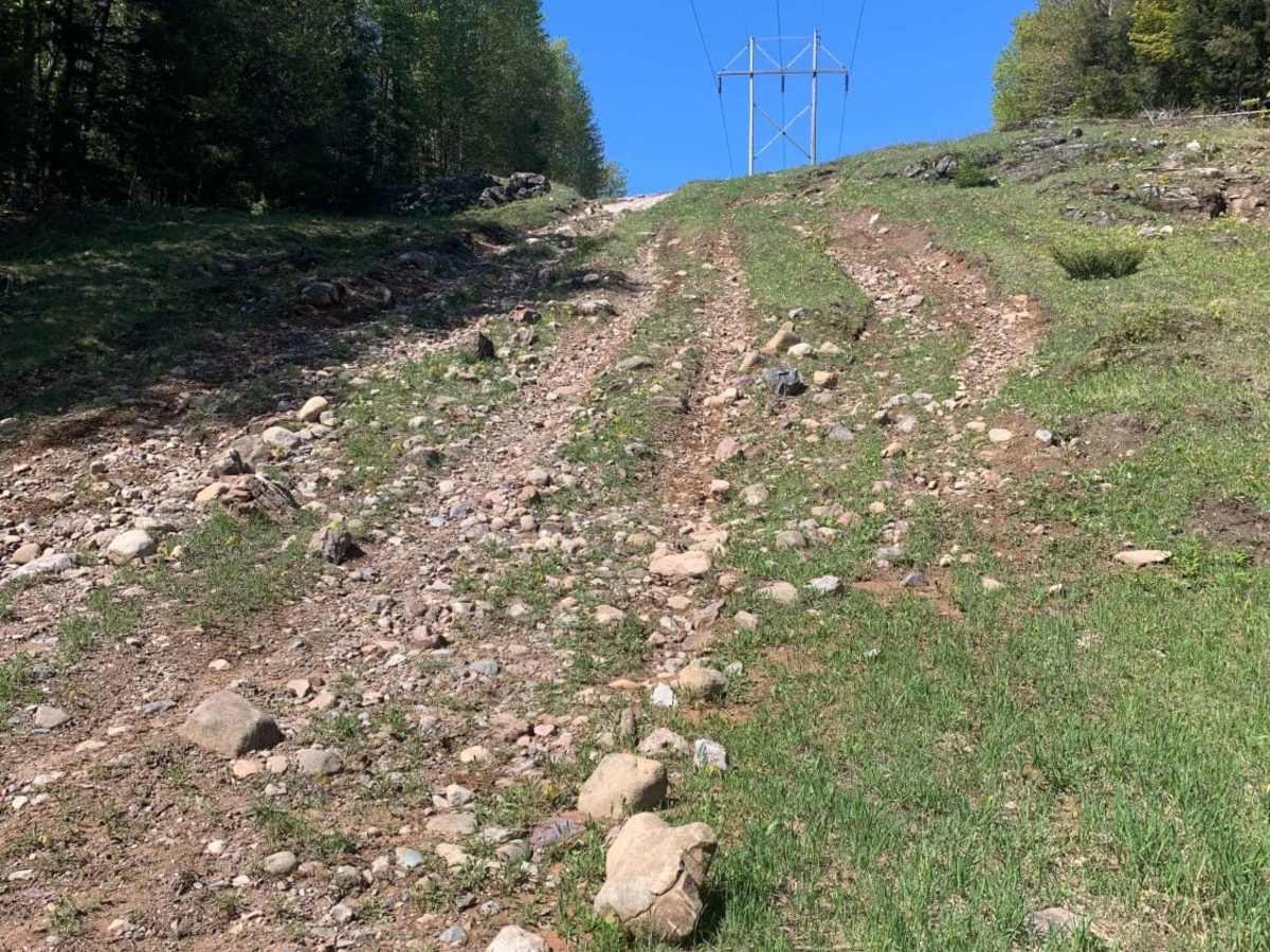
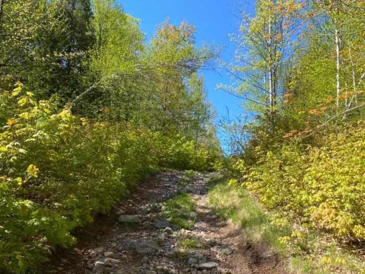
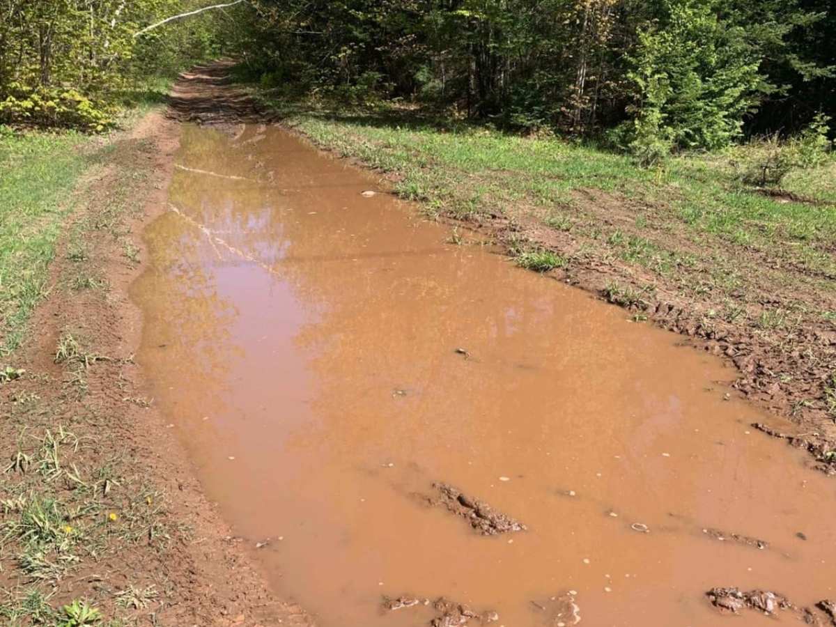
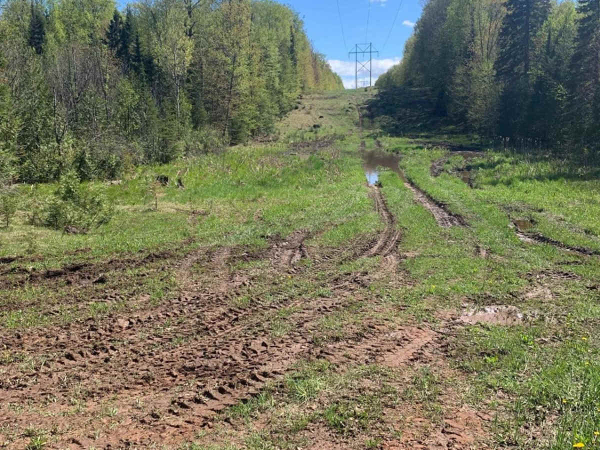
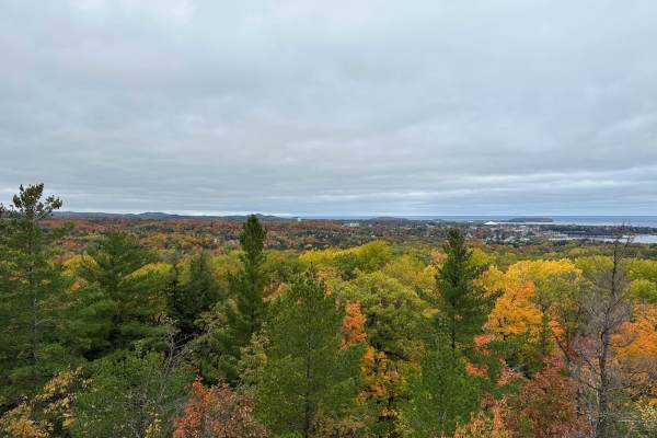
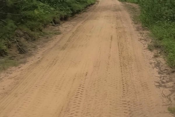
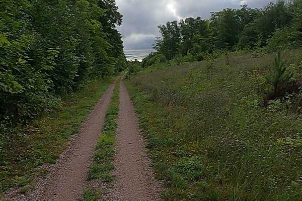
This trail is accessed by County Road NC off of 480. This trail has a bypass on your left before you come to the gatekeeper at the snowmobile crossing. The bypass can be run by most 4WD vehicles without a lift if careful lines are chosen. The marked route is advisable for only lifted vehicles with at least one locking differential. This is the most difficult obstacle on the trail, from here things get a bit easier. Expect pumpkin-to-end table-sized rocks throughout, with various ledges and outcroppings. All will have bypass lines. This trail is primarily dirt roads with washouts, mud holes, and small water over road areas throughout. This trail offers intermediate to technical offboarding, through the Ragged and Kona Hills area. Excellent wooded views and beautiful forest abound throughout. This is an out-and-back route as the two-track, if followed does go through a gas easement. It is advisable to turn around where this track ends to ensure you stay on public use property.

Photos of Beaver Dam Run

Difficulty

Overall the route is easy, however the gatekeeper on the first hill and the out and back along the powerline hill are both Intermediate based on loose rock, large washouts and ledges over 2 feet in height. Most of the trail and bypasses can be completed with a standard 4WD vehicle, however, the beaver pond section will require precise maneuvering as well as the small loop at the end of the route. Both are steep, solid rock climbs where an open differential may have difficulties.

Technical Rating

5

Status Reports

Add Status Report
Ben Owczarek
Oct 26, 2025
Open
Started on the north side of the trail, which at first started off with a tight upward shoot but the rest of it was more open. Then proceeded to Kona hill and drove up and down on the middle shoot on the trail. After went south and finished the loop out, ran into more water holes but wasn’t worried about getting stuck. Trail got tight and definitely got new pin stripes, by the beaver dam the trail got more technical but was able to walk through most of it with no scrapes to the skid plate. Overall great trail I don’t have lockers nor do I think you need it for this, just have meaty tires on my truck and factory suspension.
Zack G
Aug 24, 2025
Open
I attempted the traditional routes last week, but either aborted immediately or after the heavily washed out tracks just got beyond what I could do without a lift kit and bigger tires. Today I opted for the “easy” by pass route along the gas pipeline road. While much longer, it still had a very challenging rocky hill climb and a lesser but still technical hill climb before it. I could not take the actual path as marked on the smaller hill climb which actually forks into two trails. I took the left option as the onX path to the right was disused and overgrown (and was quite a bit steeper at parts). Eventually the active path merged into the marked trail just north of the beaver dam. Once on that trail, found a roughly 30’ water crossing with soft mud and some deep holes that pushed close to the 31” limit of my truck. Managed to make the crossing twice, but the first time only just barely. The canopy has encroached the trail quite a bit in sections, so be prepared for a few new trail stripes.
HopsScotch USA
May 24, 2025
Open
Traveling solo we opted out of the loose boulder climb to the power line. Had a few mud holes which were no problem for the non locking Sahara. Passing the beaver dam was cool, trail was a bit technical there. Nice short trail.
James Roberts
May 03, 2025
Open
Peitong Li
Jul 15, 2024
Open
The rocky up hill was the most fun part of the trail. It gets narrower as you go deeper. There was a big mud hole in the second half of the trail. I tried but failed to get over it. I recommend some 37s or winches to complete the trail. Skid plates are the must, a good spotter will be a plus.
Mike Hopper
Jun 14, 2024
Open
Short but sweet, off camber sections, some mud puddles, up and down elevation. Highly recommend skid plates for this trail-scufffed a couple rims and put the skids to work,
Jordan Underly
Sep 21, 2023
Open
Grayson Dixon
Aug 01, 2023
Open

Beaver Dam Run Trail can be accessed by the following ride types:

  • Single Track
  • 50 Inch
  • 60 Inch
  • High Clearance
  • Full Width

Beaver Dam Run Map

The onX Offroad Difference

onX Offroad combines trail photos, descriptions, difficulty ratings, width restrictions, seasonality, and more in a user-friendly interface. Available on all devices, with offline access and full compatibility with CarPlay and Android Auto. Discover what you're missing today!

Open Trail Map