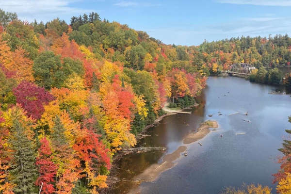
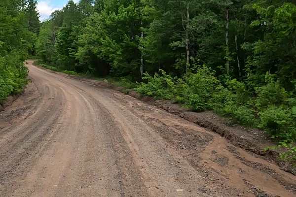
Trail Overview
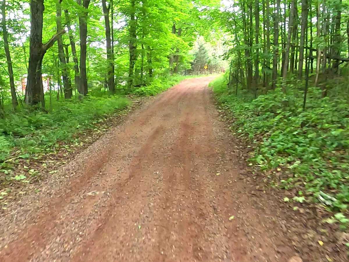
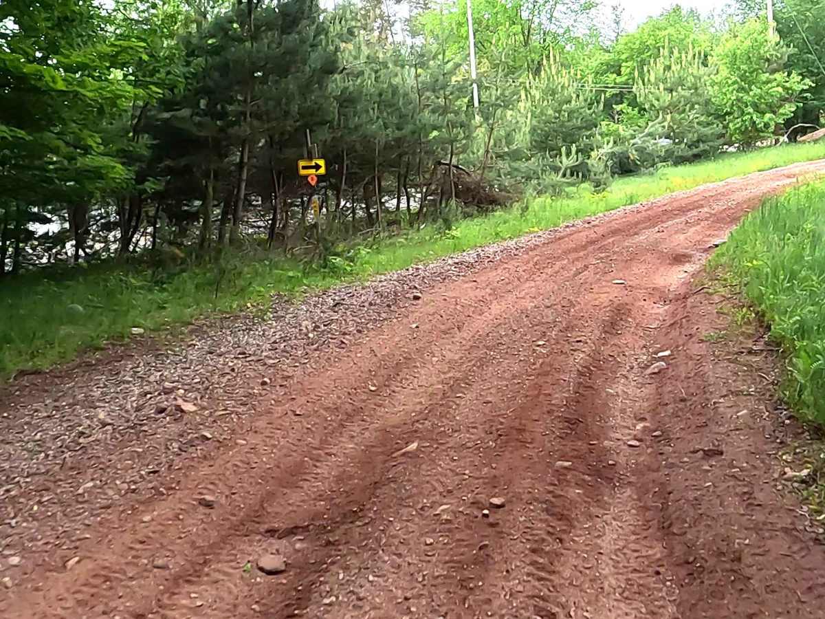
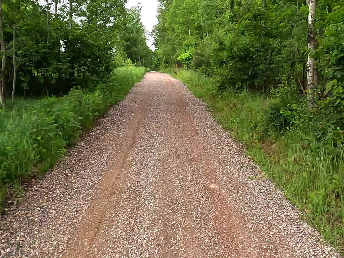
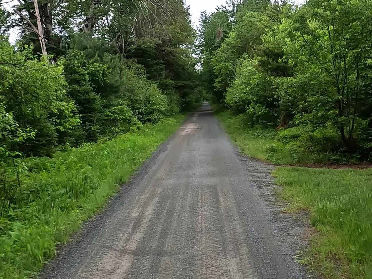
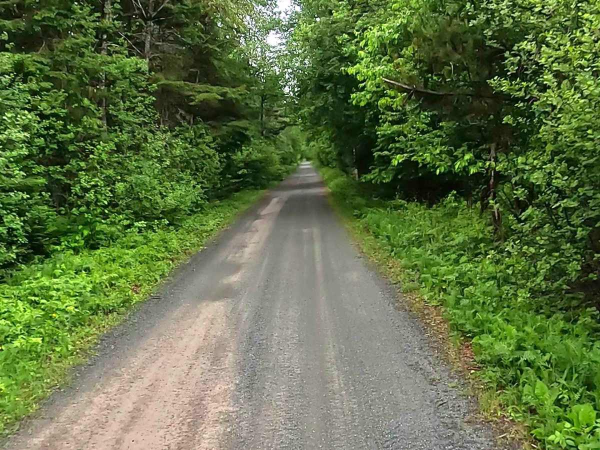
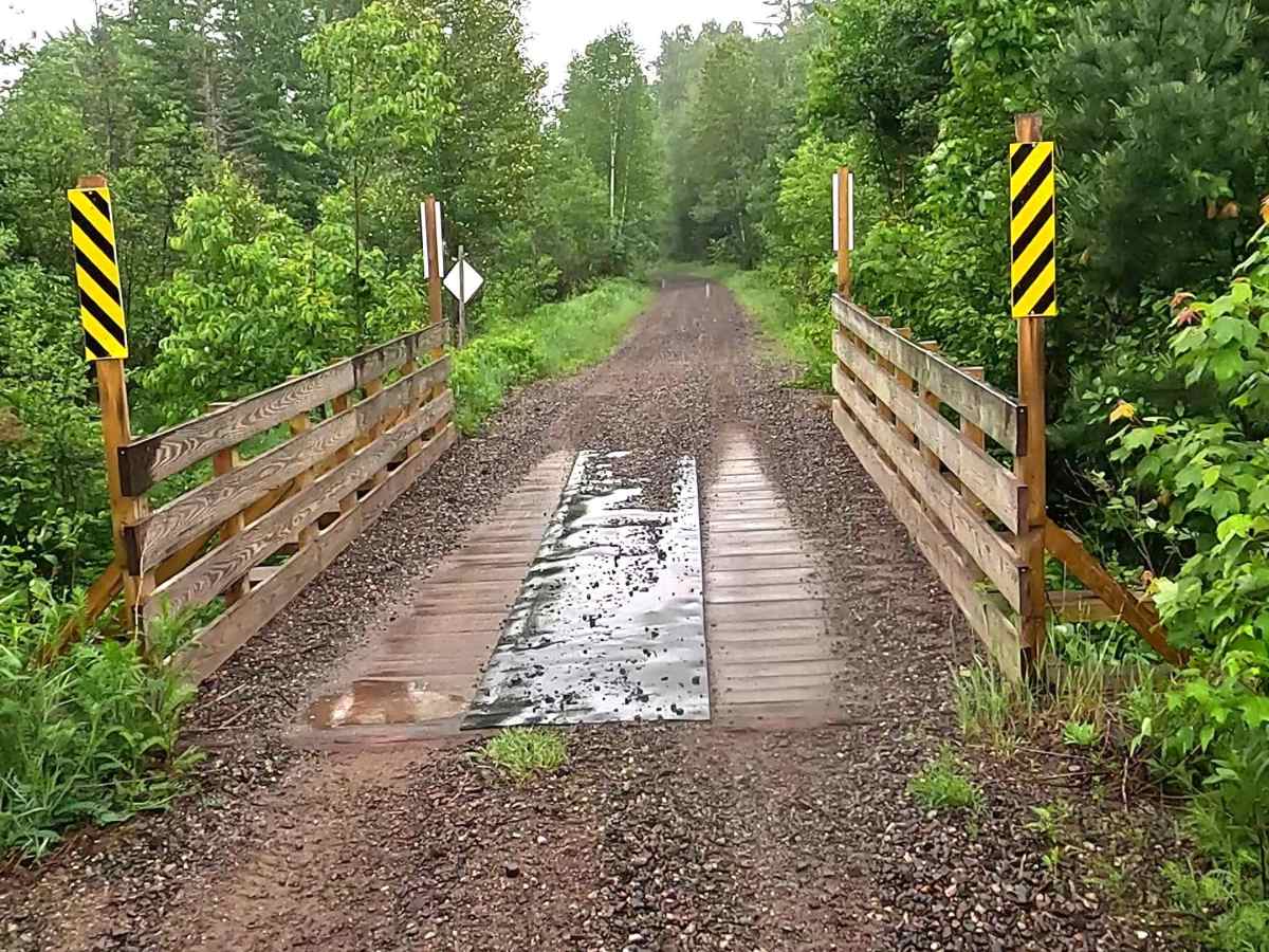
The Ishpeming portion of the Upper Peninsula's multi-segmented ORV C Route is a designated ATV/ off-road Motorcycle trail offering a mixture of sandy soil, rocks, and hard-packed dirt through heavily wooded terrain. The trail is known to be sandy as well as rocky in several portions, as it offers connection to the broader Michigan DNR ORV Route C trail system. A valid ORV license and trail permit are required.
Difficulty
Sand, dirt, rock, grass route, unmaintained after rain or snow that may give rise to deep water crossings. Obstacles less than 12 inches on the trail, including water, sand, loose rocks, native material (ex: leaves, pine needles, pine cones, sticks, branches), and mud.
History
Michigan DNR ORV Route C in Marquette County is frequently tied to the historic Soo Line Railroad grade and managed locally by the Iron Ore Heritage Recreation Authority (IOHRA)—stretching across former mining and timber rail corridors connecting Negaunee, Ishpeming, and Republic.