Trail Overview
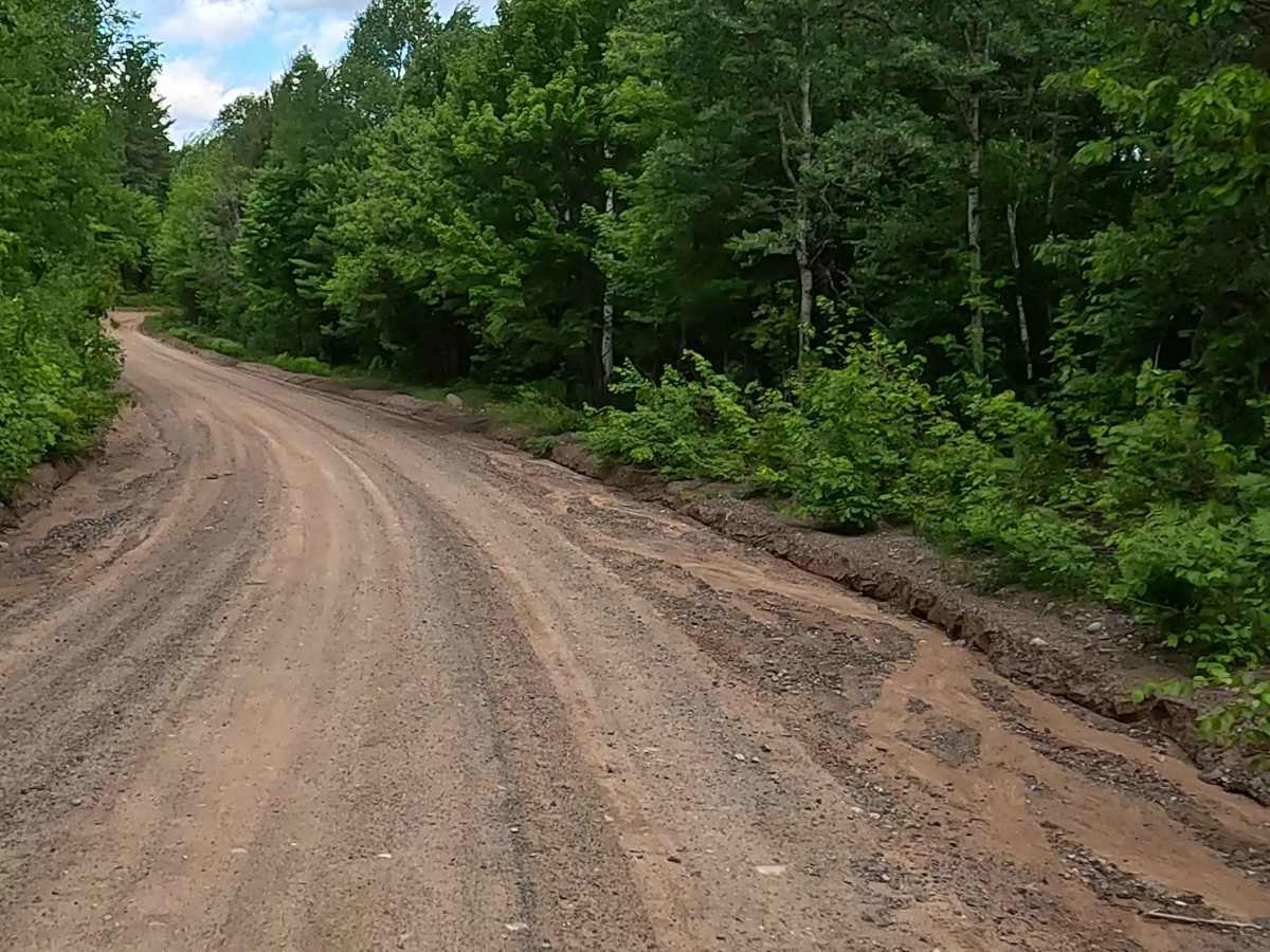
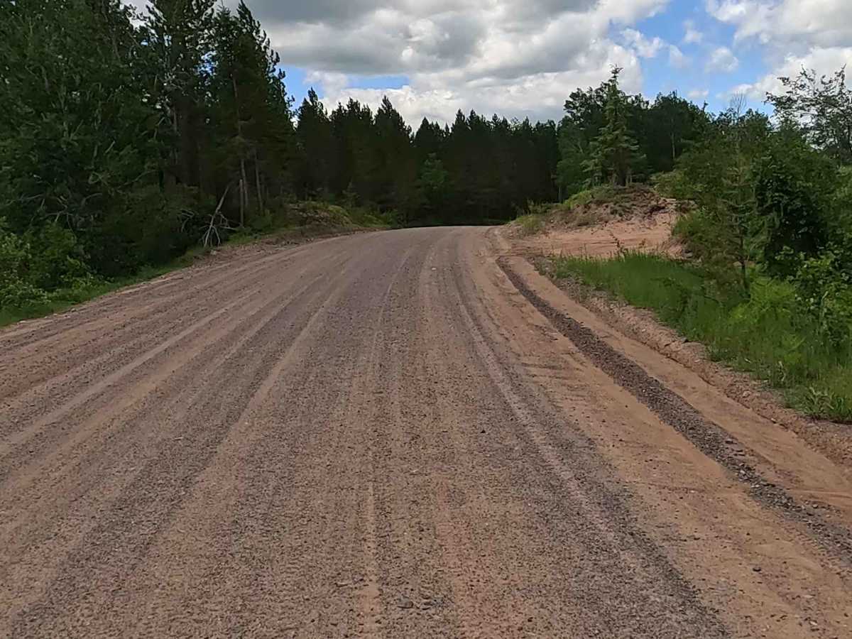
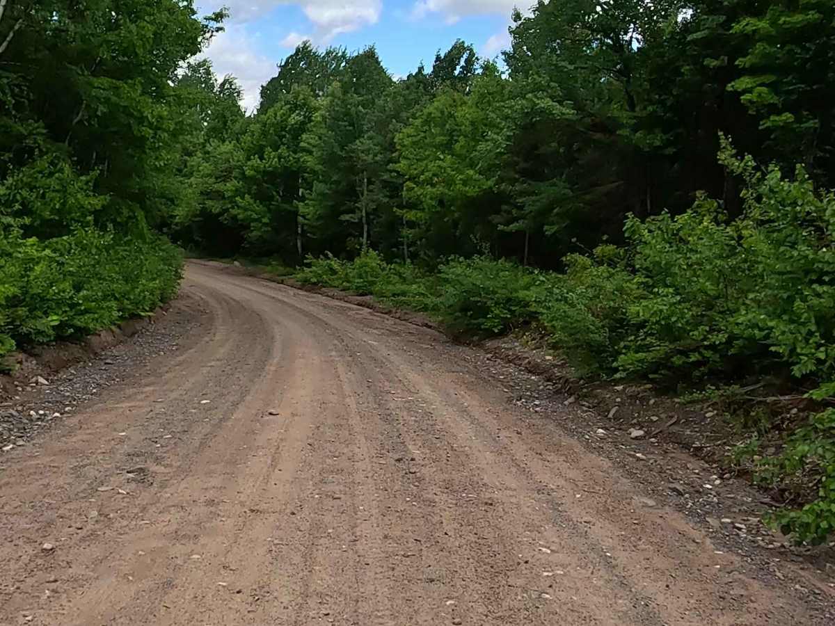
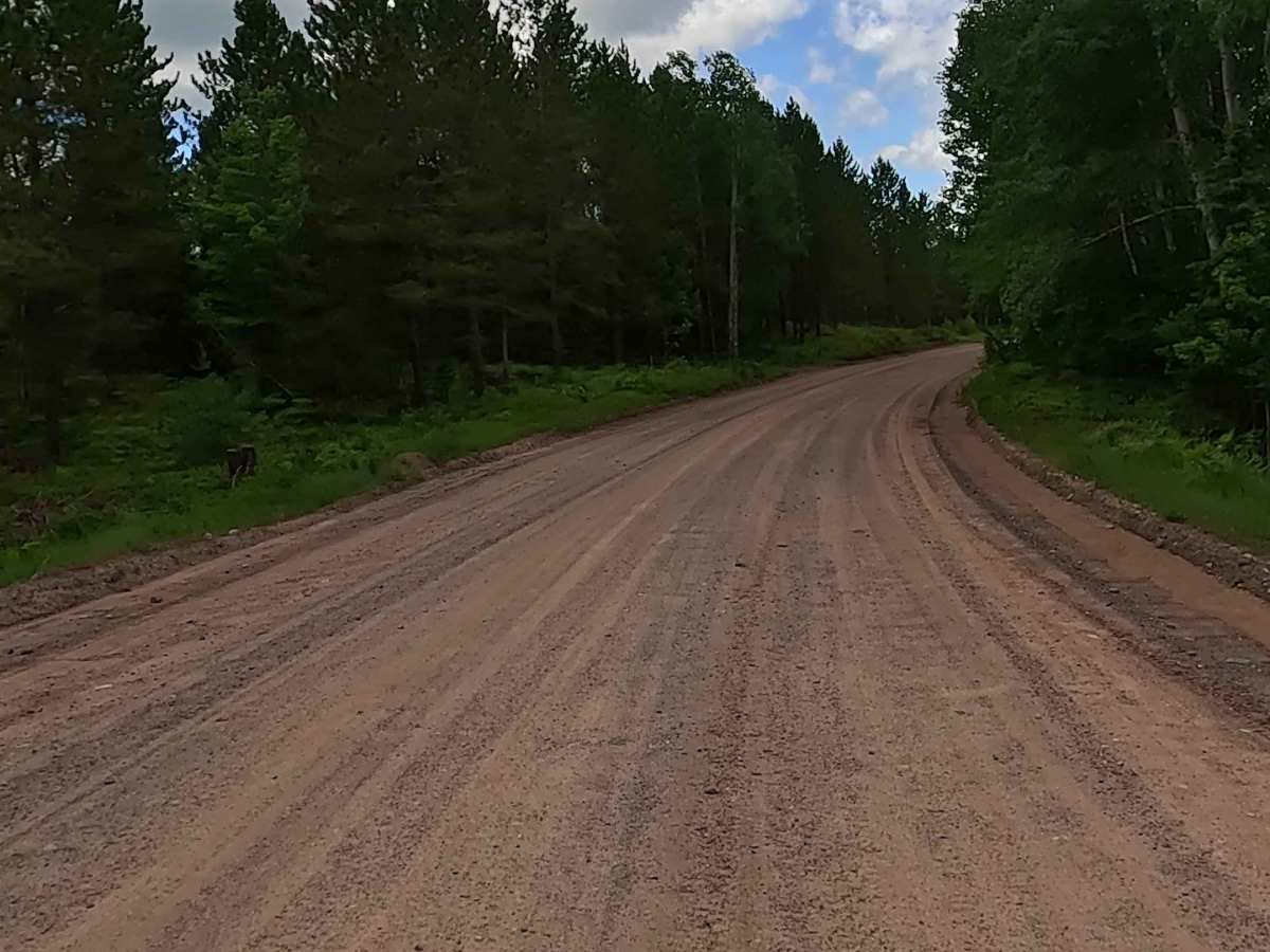
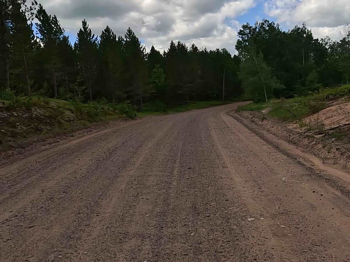
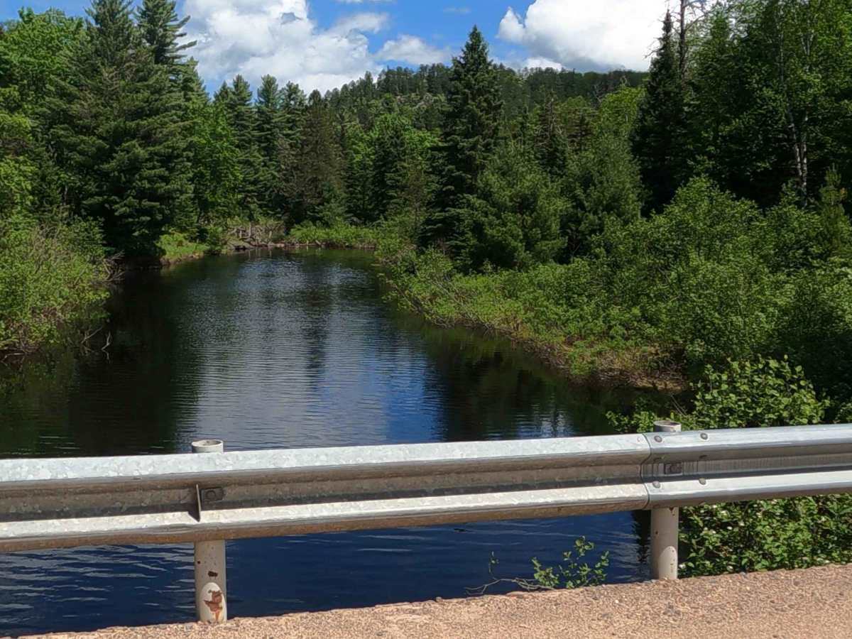
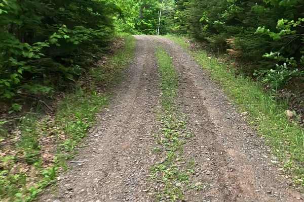
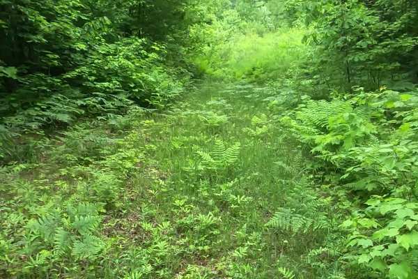
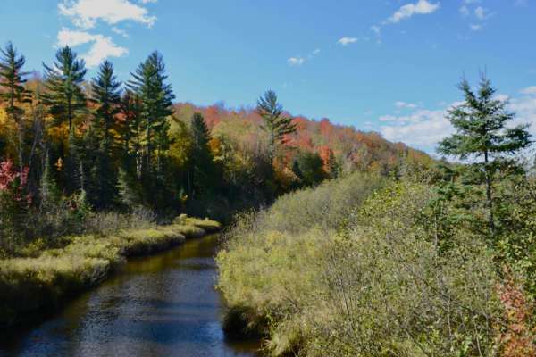
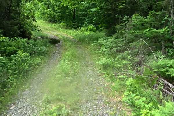
Silver Lake Road, also known as County Road CCO, is a state owned/ locally maintained, Level-2 forest access route with a surface composition of sand, dirt, and native material (ex: leaves, pine needles, pine cones, sticks, branches). This route offers access to forested "Two-Tracks" and hiking paths within the deep wilderness of the Dead River storage basin and the Silver Lake Basin.
Difficulty
Sand, dirt, gravel route typically unmaintained after rain or snow that may give rise to water crossings under 12 inches and obstacles such as tree/ tree branches.
History
The Silver Lake Basin is located about 27 miles north of Ishpeming in Marquette County. Its history spans from early logging and iron mining development to the tragic 2003 dam failure that dramatically reshaped the area's geography. Originally a smaller, natural lake near the headwaters of the Dead River, the basin's capacity was artificially increased in 1896 by the construction of the first dam to support local lumbering and industrial operations. Over the 20th century, the dam was modified and raised multiple times by corporate mining entities—most notably by a subsidiary of Cleveland-Cliffs—to ensure steady water storage for downstream hydroelectric operations. The Upper Peninsula Power Company (UPPCO) purchased the dam in 1988.